Open May 1 through October 31, 2026. First-come, first-served only May 1-15 and September 30-October 31. Reservations available through Recreation.gov May 15-September 30. Commercial tour groups are prohibited.
Prescribed fires planned on Williams Ranger District this week
Kaibab National Forest fire managers plan to begin ignitions on over 3,200 acres of prescribed fire units on the Williams Ranger District Thursday and Friday, October 8 and 9, producing noticeable smoke in the vicinity of the project areas.An approximately 1,000 acre unit of the Kendrick prescribed…
Prescribed fires planned in Jacob Lake area week of October 5th
Kaibab National Forest fire managers plan to begin ignitions on prescribed fire units on the North Kaibab Ranger District in the Jacob Lake area this week, which will produce noticeable smoke in and around the Jacob Lake and Fredonia areas and along highways 89A and 67.Areas may close to the public…
Temporary closure of AZ Trail near Jacob Lake
Starting October 7, 2026, the Arizona National Scenic Trail between Forest Roads 258 and 249 near Jacob Lake will be temporarily closed for public safety due to prescribed fire operations. Watch for on-the-ground temporary re-routes. The closure is in effect through October 21, 2026 but could be…
About
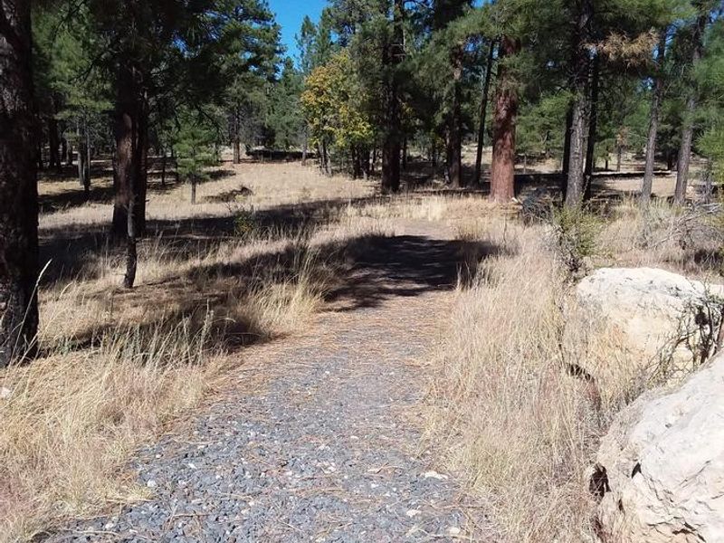
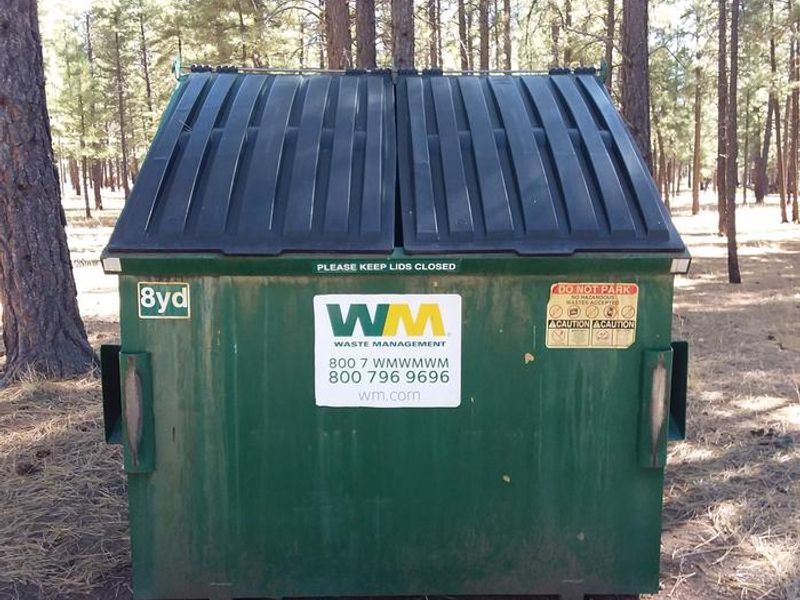
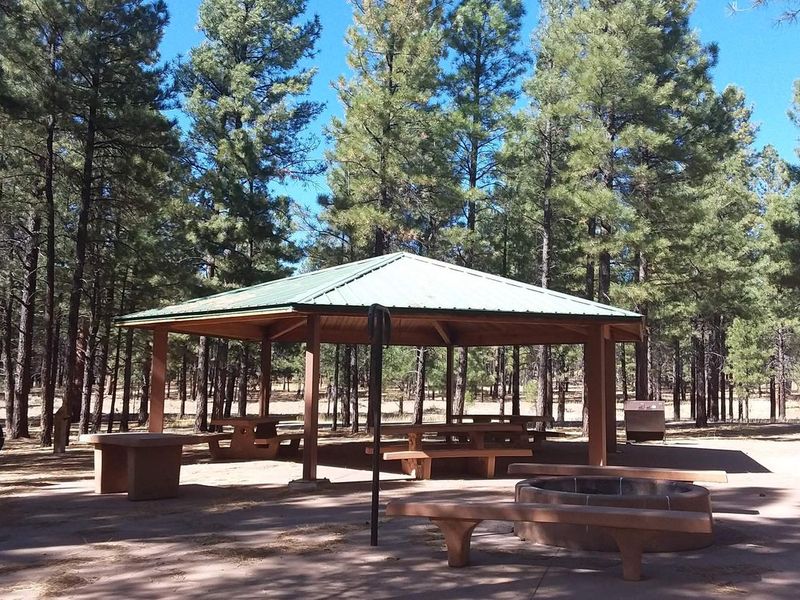
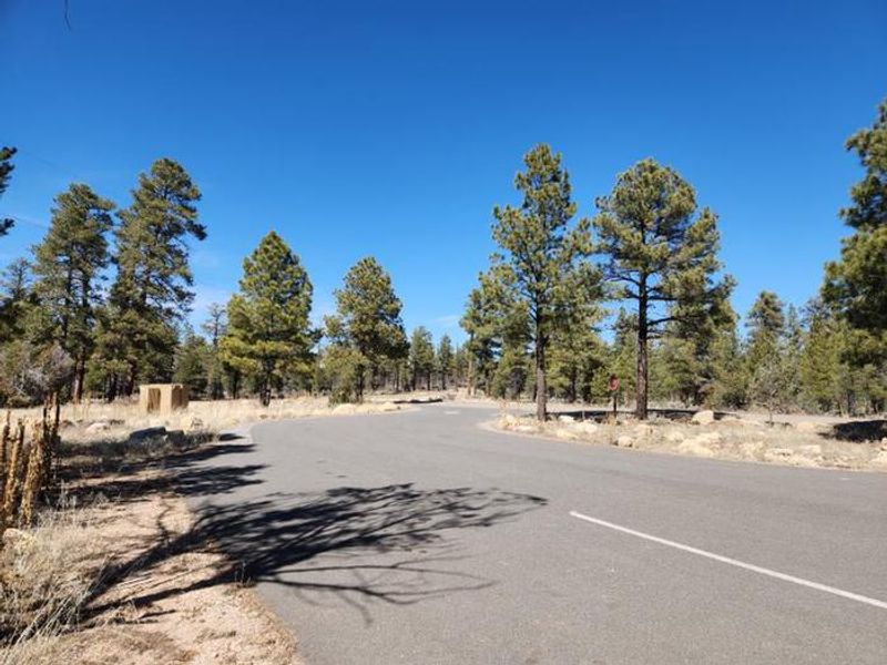
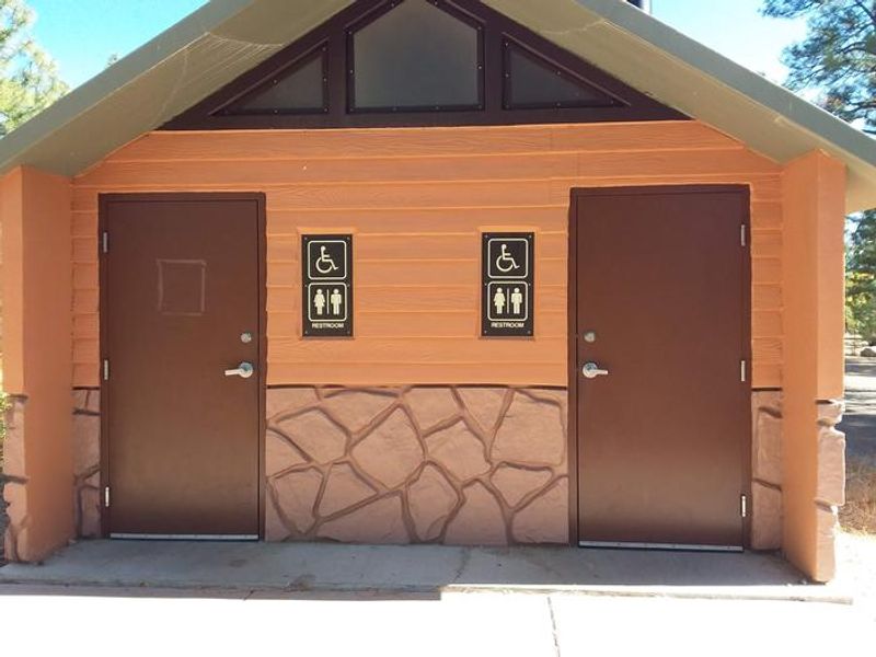
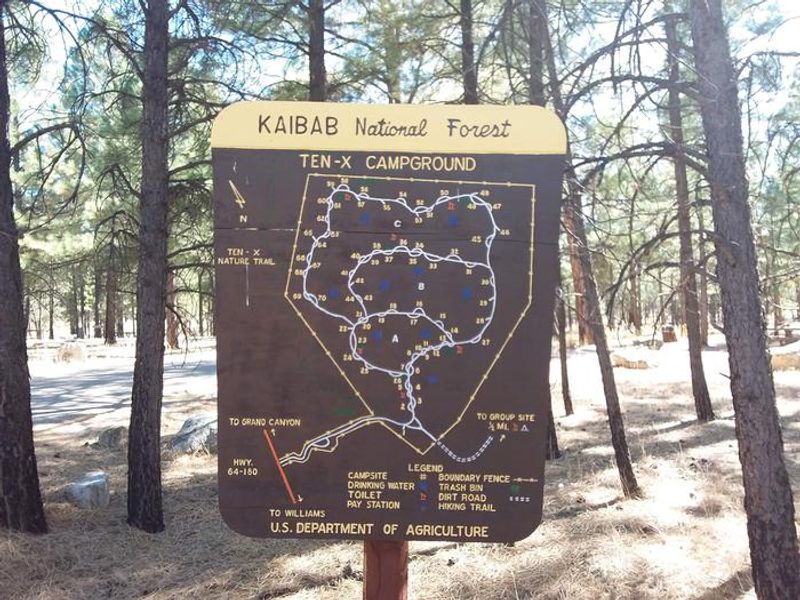
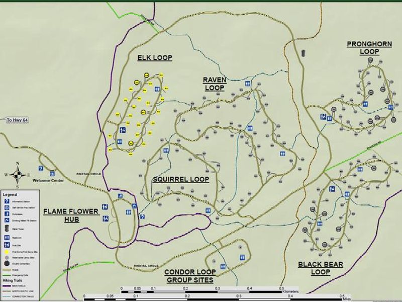
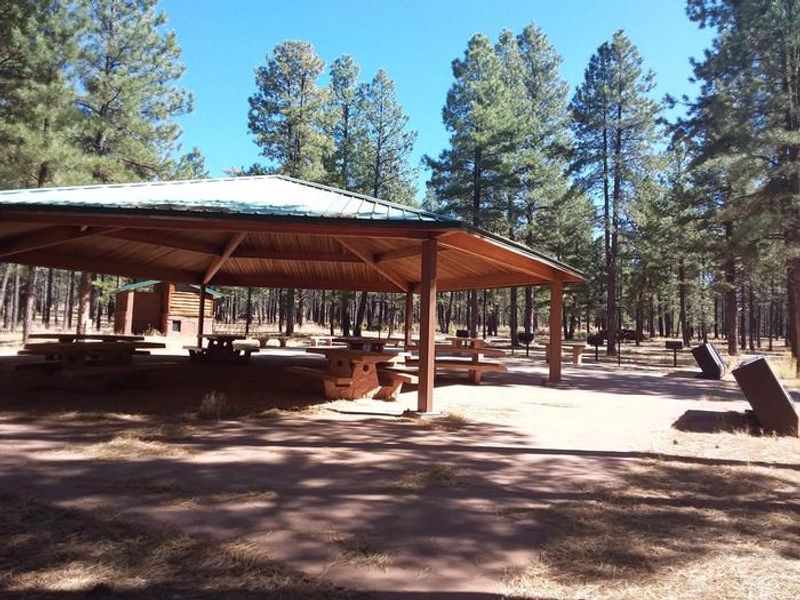
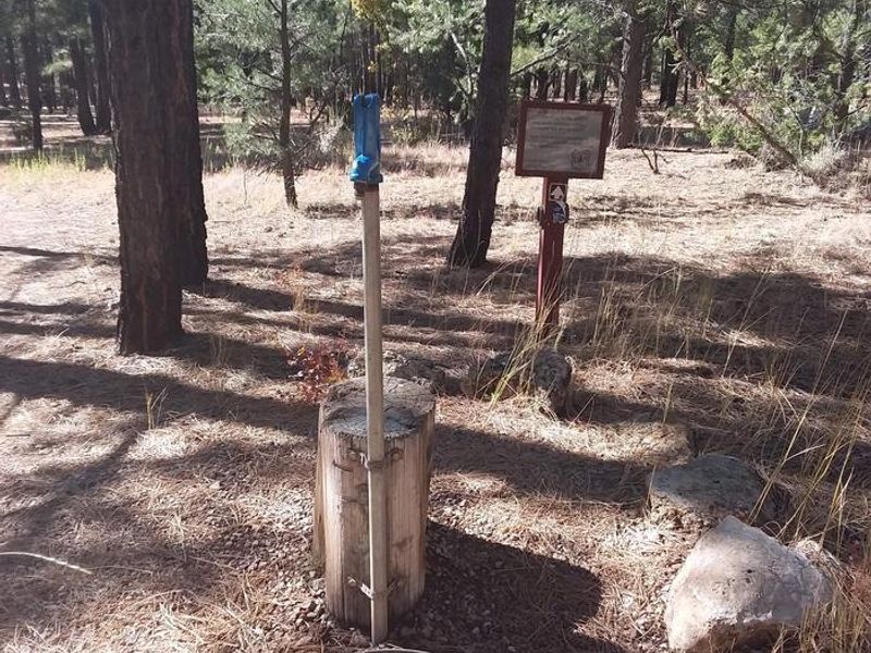
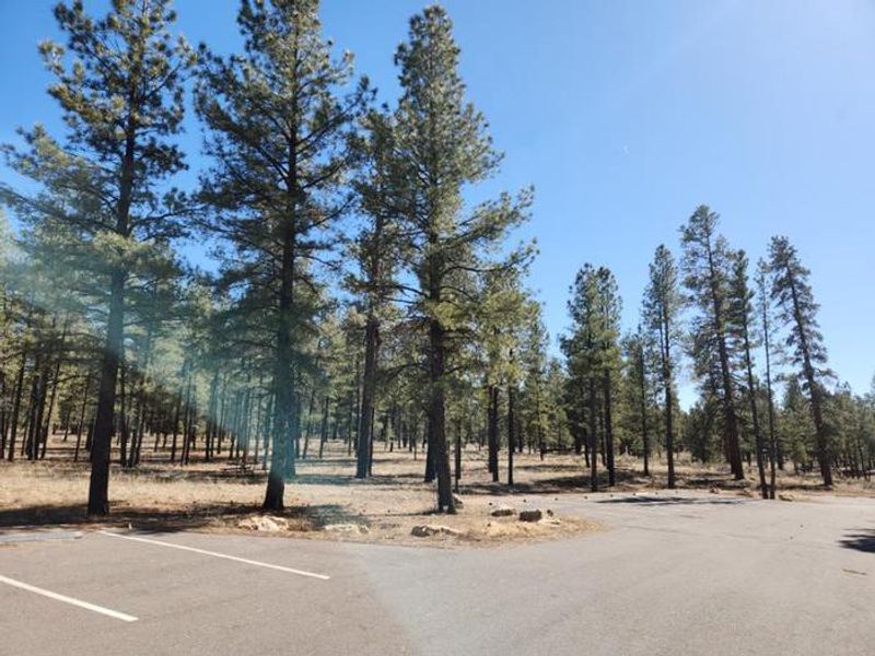
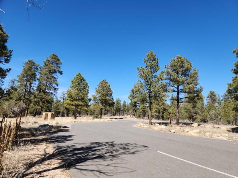
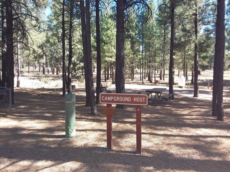
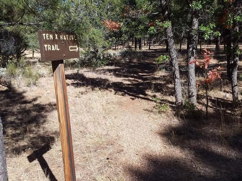
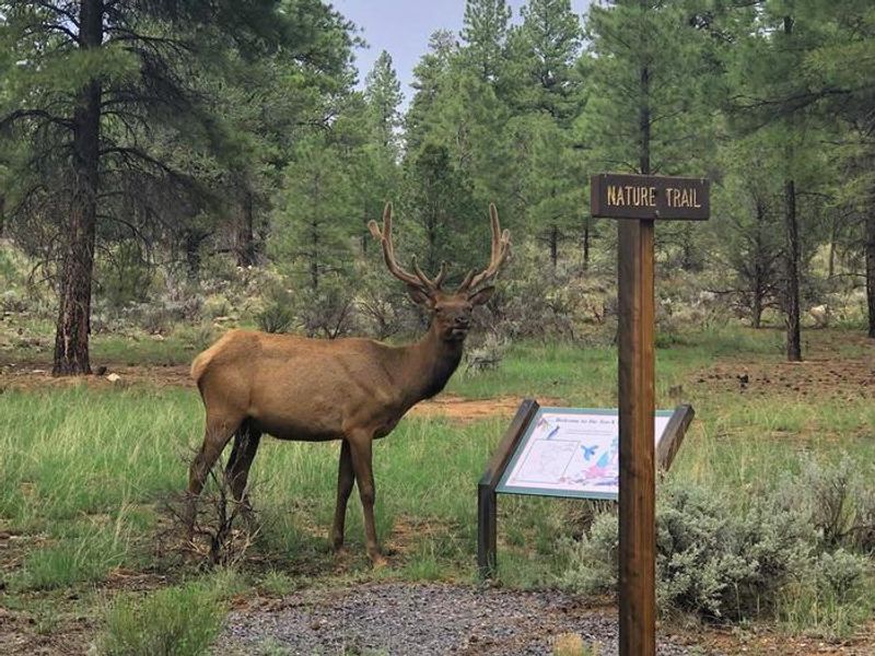
Tusayan-Montane Campground, formerly known as Ten-X, sits in a beautiful ponderosa pine and Gambel oak forest on the Tusayan Ranger District of Kaibab National Forest. Located just 2 miles south of Tusayan and approximately 10 miles from Grand Canyon National Park's south entrance, it provides a quieter alternative to the often-crowded park campgrounds while maintaining easy access to the South Rim. The campground features 142 single campsites and 18 double campsites spread across five loops, plus two group sites accommodating up to 50 and 75 people respectively. Each site includes a picnic table, fire pit, and grill. Pull-through sites can accommodate RVs up to 35 feet, while parallel and back-in sites work best for smaller vehicles or small 5th wheels. Centralized pit toilets and potable water spigots are available at Flame Flower Hub, though RVs cannot fill water tanks due to limited supply. Summer temperatures range from 50°F at night to 80-90°F during the day. Monsoon thunderstorms are common July through August. The nearby town of Tusayan offers amenities including gas, restaurants, groceries, and various tour options. Grand Canyon National Park has a dump station and water fill for RVs.
Directions
Located 2 miles south of Tusayan on U.S. Highway 180/AZ Highway 64. From Williams, take Highway 64 north; the campground is on the right just before Tusayan. From Cameron, take Highway 64 west through Grand Canyon National Park and exit through the south entrance station; the campground is 2 miles south of Tusayan on the east side of Highway 64.
Location
Amenities
| Water | Yes |
| Fires Allowed | Yes |
| Toilets | Yes |
| Dump Station | No |
| Wifi | No |
| Pets Allowed | — |
| Showers | No |
| Electric Hookups | — |
| Water Hookups | — |
| Sewer Hookups | — |
| Camp Store | No |
| Price | $20 - $125 |
Vehicle
| Max RV Length | 50ft |
| Max Trailer Length | 45ft |
| Big Rig Friendly | No |
| Pull Through Sites | No |
Contact
| Phone | +1 (928) 638-2443 |
Cell Service
| AT&T | Yes |
| Verizon | Yes |
| T-Mobile | None |
Availability
Photos
Community Posts
No posts yet. Be the first to share your experience!