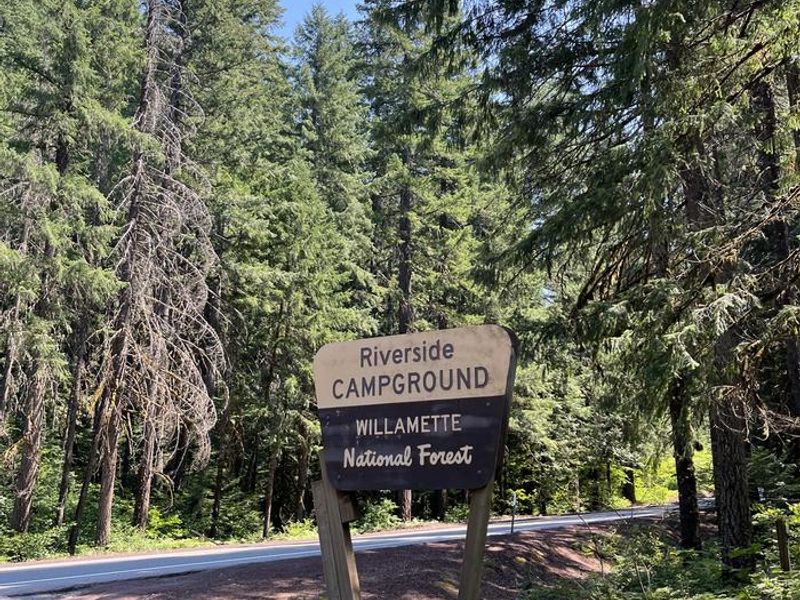
Riverside At Detroit
Open for the 2026 season, operating April through September. Both reservable and first-come-first-served sites available. Campfires allowed unless otherwise posted; fire bans are common during summer months. 14-day stay limit. Check-in 2:00 PM, check-out 1:00 PM.
Alcohol Prohibitions
This Order describes acts that are prohibited upon lands, roads and trails within the National Forest System administered by the Forest Service Pacific Northwest Region in regards to alcoholic beverages.
Aquatic Invasive Species
This Order prohibits 1) possessing, storing, or transporting any aquatic invasive animal species AND 2) prohibits possessing, storing, or transporting any aquatic or riparian invasive plant species - on National Forest System lands in the Pacific Northwest Region as specified in the Order.
Restrictions on Use of Forage and Mulch Products
This Order prohibits unloading, storing, or using any straw, hay, grain, seed, or other forage or mulch products that are not state-certified weed free on the National Forest System lands, roads or trails in any Closure Area as specific in the Order. Some examples of these include hay bales, hay…
About
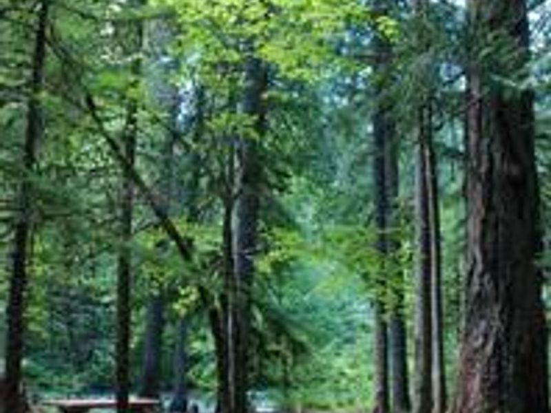
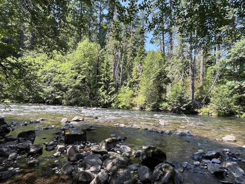
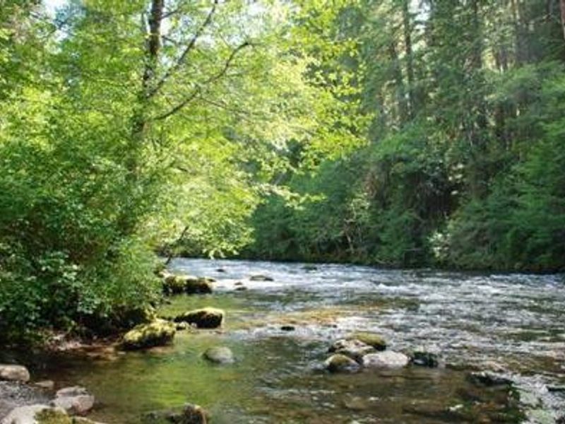
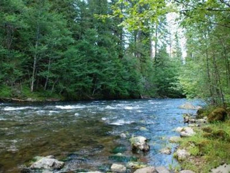
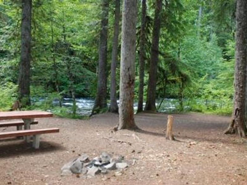
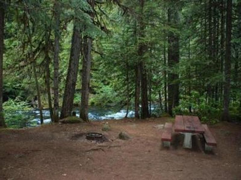
Riverside at Detroit Campground provides an excellent outdoor retreat for campers seeking a more remote experience in Oregon's Cascade Range. Grand, mature cedars and Douglas fir trees greet visitors as they enter the 32-site campground along the North Fork Santiam River. The surrounding vegetation includes hemlock, rhododendron, and fern beneath towering conifers, creating a lush Pacific Northwest atmosphere. The campground comprises two main loops, each with distinct character. The southeast (upriver) section features more secluded sites perched on a bluff overlooking the river, ideal for those seeking privacy. The northwest (downriver) sites offer partial shade and a more open setting. All sites are equipped with picnic tables and fire rings, with drinking water spigots and three double-vault toilets located throughout. Anglers enjoy fishing for rainbow trout on the river, while hikers can explore the nearby Coffin Mountain Trail Area and the challenging Minto Mountain Trail. The Marion Forks Fish Hatchery is an interesting nearby attraction where visitors can observe rainbow trout, summer steelhead, and spring chinook being harvested.
Directions
From Detroit, OR, take Highway 22 east approximately 14.2 miles to the campground on the right side of the road. From Sisters, head toward Detroit on Highway 22 for 43 miles to the campground on the left.
Amenities
| Water | Yes |
| Fires Allowed | Yes |
| Toilets | Yes |
| Dump Station | No |
| Wifi | No |
| Pets Allowed | Yes |
| Showers | No |
| Electric Hookups | — |
| Water Hookups | — |
| Sewer Hookups | — |
| Camp Store | No |
| Price | $25 |
Vehicle
| Max RV Length | 55ft |
| Max Trailer Length | 55ft |
| Big Rig Friendly | No |
| Pull Through Sites | No |
Contact
| Phone | +1 (503) 854-3366 |
Cell Service
| AT&T | None |
| Verizon | None |
| T-Mobile | None |
Availability
Photos
Community Posts
No posts yet. Be the first to share your experience!