Nizhoni
The campground operates seasonally from mid-May through late September. Currently open on a first-come, first-served basis. The maximum stay is 14 consecutive days.
Hydrologic Outlook issued October 9 at 10:53AM MDT by NWS Grand Junction CO
ESFGJT A strong low pressure system off the Pacific Coast will begin to draw in tropical moisture associated with Topical Storm Rachel this weekend. This strong southerly fetch will draw anomalously high moisture content across the Desert Southwest and into eastern Utah and western Colorado. The chance for widespread precipitation increases Saturday evening into Sunday. Total precipitation forecasts range from 1 to 3 inches across high terrain, with highest amounts favoring the Uintas, Tavaputs and the Southwest San Juan mountains. Embedded thunderstorms are also possible Sunday afternoon, increasing the threat for flash flooding across vulnerable terrain. While confidence in location and rainfall rates remain low at this time, the potential for rapidly rising rivers, streams, normally dry arroyos and slot canyons are possible Sunday through Monday. Please follow the evolving forecast, especially if your plans including recreating or commuting across eastern Utah and western Colorado Sunday onward. Also, keep in mind weather potential above your location and upstream, particularly for those who reside below sensitive terrain like recent burn scars.
Weed Free Hay Order 04-2021-03
Prohibited by this order: Possessing, storing, or transporting non-pelletized hay, straw, or mulch in the Intermountain Region, unless it is certified as weed free by the state where the product originated.
Fireworks and Spark Arrestor Order 04-2021-01
Prohibited by this order: Possessing, discharging, or using any kind of firework or other pyrotechnic device. 36 CFR §261.52(t)Operating or using any internal or external combustion engine without a spark arresting device properly installed, maintained and in effective working order as described…
About
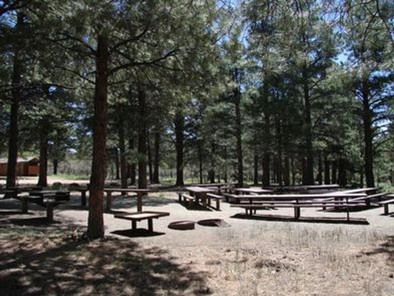
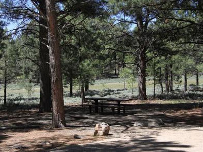
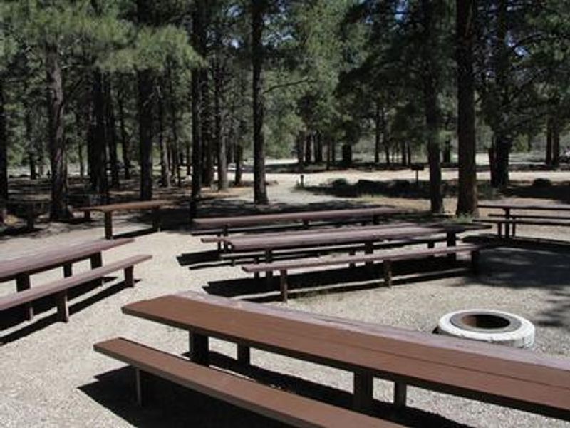
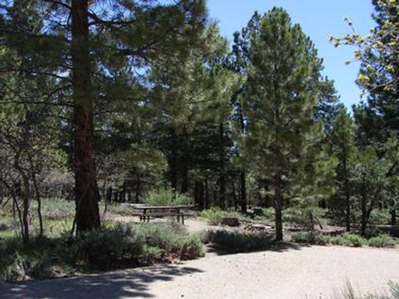
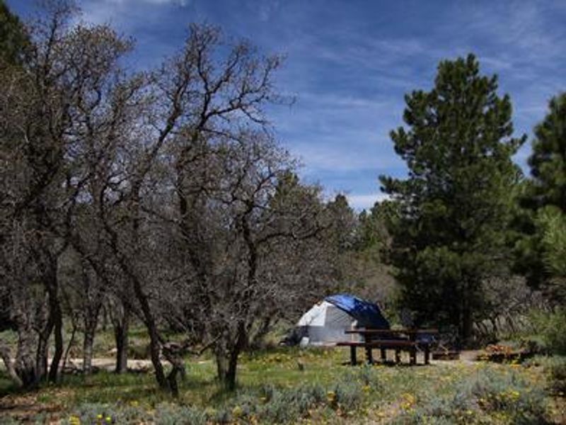
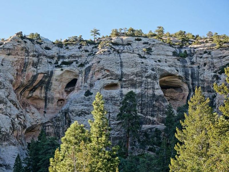
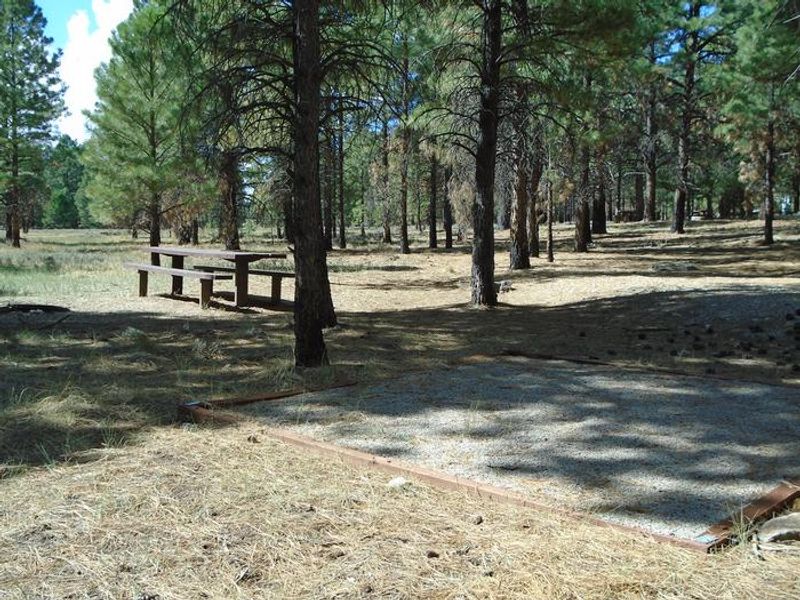
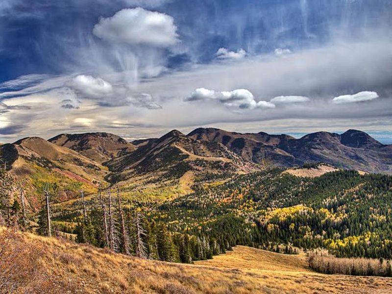
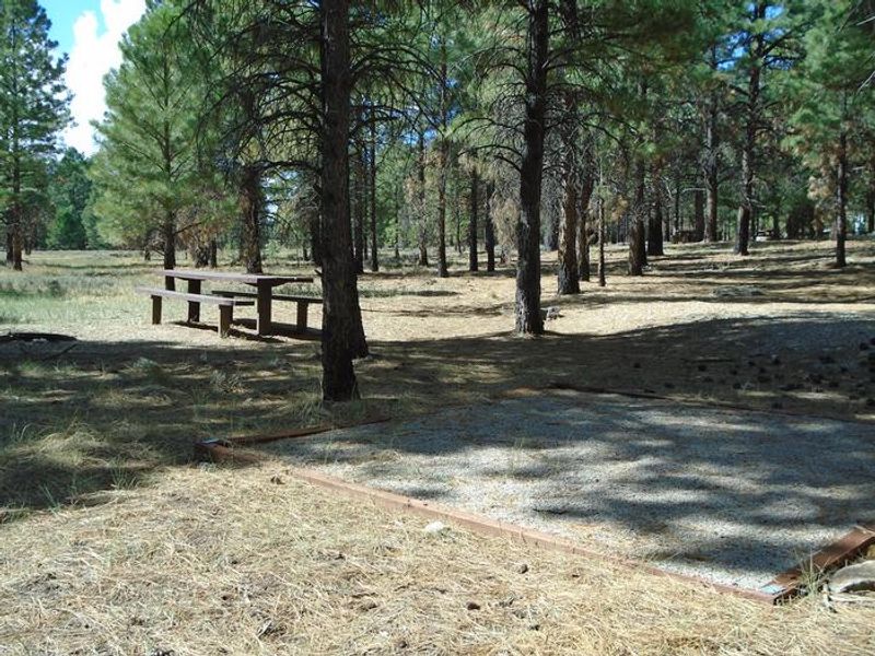
Nizhoni Campground is nestled at 7,800 feet elevation in a towering ponderosa pine forest at the foot of the Abajo Mountains in southeastern Utah's Manti-La Sal National Forest. The campground offers 21 single-family sites and 2 group areas capable of accommodating up to 50 campers each. Gambel oaks and sagebrush dot the surrounding landscape, and summer temperatures range from 80-90 degrees during the day to 55-65 degrees at night. The area supports diverse wildlife including mule deer, wild turkeys, Abert's squirrels, and occasional black bear sightings. Several trailheads are accessible nearby, including Shay Ridge, Aspen Flat, and Red Ledges. The Abajo Loop State Scenic Backway passes by the campground, offering a scenic drive from desert floor through red rock canyons to mountain peaks over 10,000 feet. Nearby attractions include Canyonlands, Arches, and Mesa Verde National Parks, Dark Canyon Wilderness, Edge of the Cedars State Park, Lake Powell, and numerous archaeological sites throughout the region.
Directions
From Blanding, Utah, travel north on Highway 191 approximately 2 miles. Turn left on County Road 2191 and continue 3/4 mile to the stop sign. Turn right on Forest Road 079 and proceed approximately 10 miles to the campground on the right side of the road.
Amenities
| Water | Yes |
| Fires Allowed | Yes |
| Toilets | Yes |
| Dump Station | — |
| Wifi | No |
| Pets Allowed | — |
| Showers | No |
| Electric Hookups | — |
| Water Hookups | — |
| Sewer Hookups | — |
| Camp Store | No |
| Price | $20 - $50 |
Vehicle
| Max RV Length | 25ft |
| Max Trailer Length | 25ft |
| Big Rig Friendly | No |
| Pull Through Sites | No |
Contact
| Phone | +1 (435) 587-2041 |
Cell Service
| AT&T | None |
| Verizon | Yes |
| T-Mobile | None |
Availability
Photos
Community Posts
No posts yet. Be the first to share your experience!