Superbowl Campground
Open year-round on a first-come, first-served basis. Self-register at the kiosk upon arrival. $15 per night with a 14-night maximum stay. No reservations for individual sites. No cell service. No potable water available; bring your own water supply. Firewood collection prohibited; bring your own.
Wind Advisory issued October 10 at 10:38AM MDT until October 12 at 12:00AM MDT by NWS Grand Junction CO
* WHAT...South winds 20 to 30 mph with gusts up to 50 mph expected. * WHERE...In Colorado, Four Corners/Upper Dolores River and Paradox Valley/Lower Dolores River. In Utah, Arches/Grand Flat, Canyonlands/Natural Bridges, and Southeast Utah. * WHEN...From 9 AM Sunday to midnight MDT Sunday Night. * IMPACTS...Gusty winds will blow around unsecured objects. Tree limbs could be blown down and a few power outages may result. * ADDITIONAL DETAILS...In addition to strong surface winds expected, stronger thunderstorm potential could result in locally higher wind gusts at times.
Hydrologic Outlook issued October 9 at 10:53AM MDT by NWS Grand Junction CO
ESFGJT A strong low pressure system off the Pacific Coast will begin to draw in tropical moisture associated with Topical Storm Rachel this weekend. This strong southerly fetch will draw anomalously high moisture content across the Desert Southwest and into eastern Utah and western Colorado. The chance for widespread precipitation increases Saturday evening into Sunday. Total precipitation forecasts range from 1 to 3 inches across high terrain, with highest amounts favoring the Uintas, Tavaputs and the Southwest San Juan mountains. Embedded thunderstorms are also possible Sunday afternoon, increasing the threat for flash flooding across vulnerable terrain. While confidence in location and rainfall rates remain low at this time, the potential for rapidly rising rivers, streams, normally dry arroyos and slot canyons are possible Sunday through Monday. Please follow the evolving forecast, especially if your plans including recreating or commuting across eastern Utah and western Colorado Sunday onward. Also, keep in mind weather potential above your location and upstream, particularly for those who reside below sensitive terrain like recent burn scars.
About
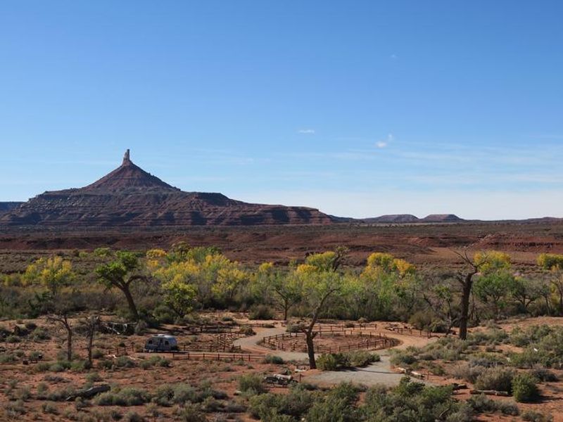
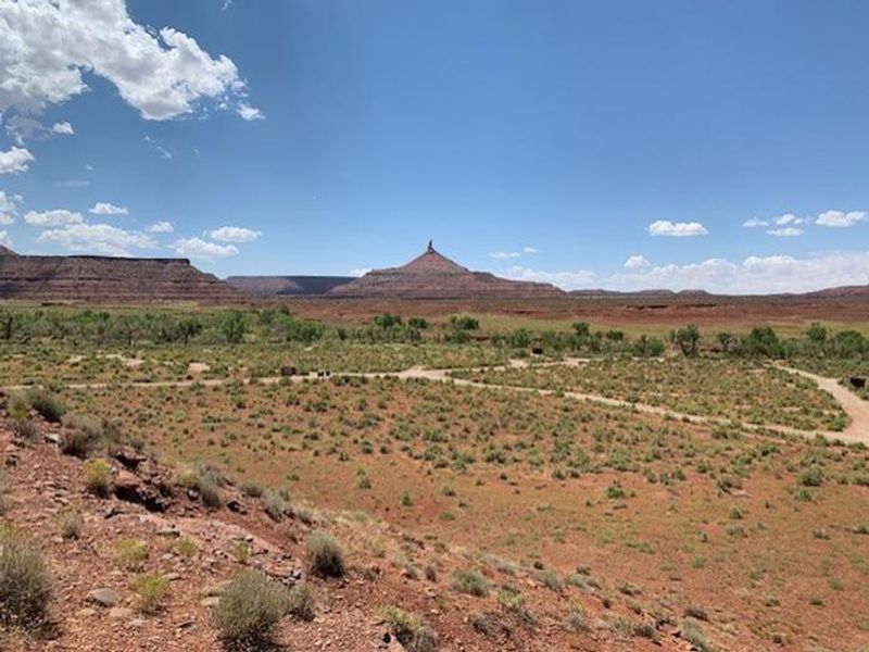
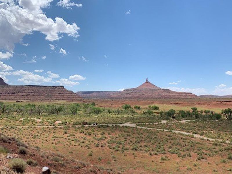
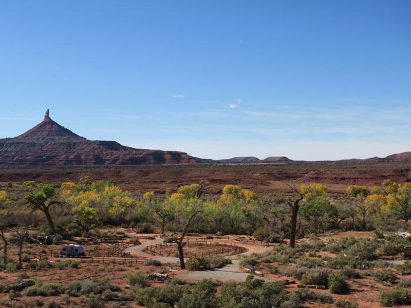
Superbowl Campground sits in the Indian Creek corridor of Bears Ears National Monument, a landscape of broad valleys rimmed by dramatic Wingate Sandstone cliffs. The 37 individual campsites are distributed near the banks of Indian Creek, where cottonwood trees provide shade at some sites. Creek flow is intermittent and typically dry except in spring or after precipitation. Each campsite accommodates up to 10 people and 2 vehicles. The Indian Creek area has gained international recognition for world-class crack climbing, with routes ascending the sheer sandstone walls of Bridger Jack Mesa, Lavender Mesa, and North and South Six Shooter Peaks. Beyond climbing, visitors enjoy cultural resource viewing, scenic photography, and OHV touring on designated routes. Newspaper Rock, featuring one of the largest known collections of petroglyphs, is 13.5 miles to the southeast. This is primitive camping with limited services. There is no potable water, no cell service, and wood collection is prohibited. Campers must bring their own water supply and firewood. A separate group site accommodating up to 50 people is available by reservation through Recreation.gov.
Directions
From U.S. Route 191, turn west onto Utah State Route 211 and travel approximately 25.8 miles. Turn south onto County Road 0574. The campground is 0.25 miles down the natural surface road.
Nearby Campgrounds
Location
Amenities
| Water | No |
| Fires Allowed | Yes |
| Toilets | Yes |
| Dump Station | — |
| Wifi | No |
| Pets Allowed | — |
| Showers | No |
| Electric Hookups | — |
| Water Hookups | — |
| Sewer Hookups | — |
| Camp Store | No |
| Price | $15 |
Vehicle
| Max RV Length | — |
| Max Trailer Length | — |
| Big Rig Friendly | — |
| Pull Through Sites | No |
Contact
| blm_ut_mt_mail@blm.gov | |
| Phone | +1 (435) 587-1500 |
Cell Service
| AT&T | Yes |
| Verizon | None |
| T-Mobile | None |
Useful Links
| View on Recreation.gov | |
| BLM - Indian Creek Bears Ears |
Availability
Photos
Community Posts
No posts yet. Be the first to share your experience!