Ken's Lake Group Sites
Open for reservations year-round. Reservations are required through Recreation.gov and can be made same-day up to 6 months in advance. No walk-up or cash payments accepted. Check-in is 12:00 PM, check-out is 11:59 AM.
Hydrologic Outlook issued October 9 at 10:53AM MDT by NWS Grand Junction CO
ESFGJT A strong low pressure system off the Pacific Coast will begin to draw in tropical moisture associated with Topical Storm Rachel this weekend. This strong southerly fetch will draw anomalously high moisture content across the Desert Southwest and into eastern Utah and western Colorado. The chance for widespread precipitation increases Saturday evening into Sunday. Total precipitation forecasts range from 1 to 3 inches across high terrain, with highest amounts favoring the Uintas, Tavaputs and the Southwest San Juan mountains. Embedded thunderstorms are also possible Sunday afternoon, increasing the threat for flash flooding across vulnerable terrain. While confidence in location and rainfall rates remain low at this time, the potential for rapidly rising rivers, streams, normally dry arroyos and slot canyons are possible Sunday through Monday. Please follow the evolving forecast, especially if your plans including recreating or commuting across eastern Utah and western Colorado Sunday onward. Also, keep in mind weather potential above your location and upstream, particularly for those who reside below sensitive terrain like recent burn scars.
About
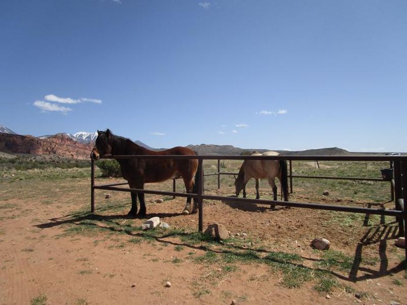
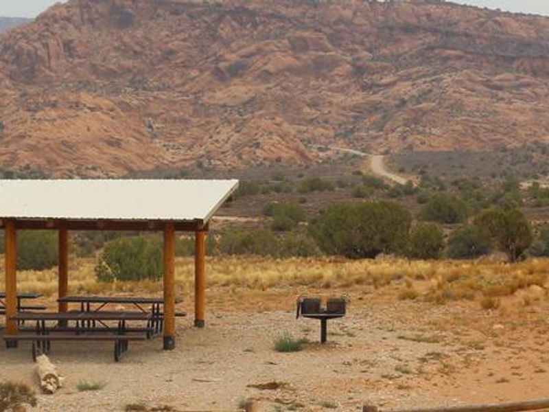
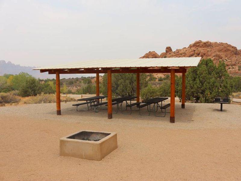
Ken's Lake Group Sites provide an ideal basecamp for groups seeking proximity to Moab while avoiding highway noise. Situated near a small reservoir surrounded by red rock formations, the area offers swimming, stand-up paddleboarding, fishing, and limited boating with electric motors. A short hike from camp leads to the lake and a man-made waterfall. Hiking, equestrian, and 4WD trails depart directly from the campground. Two group sites are available by reservation only. Site A is located in the first loop and accommodates up to 40 people with capacity for 10 RVs and 15 tents, plus a metal-fence horse corral for equestrian groups. Site B sits near the end of the second loop, holding up to 25 people with 5 RVs and 20 tents allowed, and features a pull-through gravel driveway. Class A motorhomes are prohibited at Site B. Both sites include shade shelters, picnic tables, fire grates, and access to vault toilets. Arches and Canyonlands National Parks are nearby, along with Hovenweep and Natural Bridges National Monuments. The town of Moab is 15-20 minutes away with dining, gear rentals, and tour operators. Campers must bring their own water as none is available on site.
Directions
From Moab, drive south on Highway 191 for approximately 8 miles until you see signs for Ken's Lake. Turn left off the highway and follow signs to the lake. The campground is just beyond the turn to the lake. Site A is in the first campground loop, Site B is in the second loop.
Location
Amenities
| Water | No |
| Fires Allowed | Yes |
| Toilets | Yes |
| Dump Station | No |
| Wifi | — |
| Pets Allowed | Yes |
| Showers | No |
| Electric Hookups | — |
| Water Hookups | — |
| Sewer Hookups | — |
| Camp Store | — |
| Price | $125 |
Vehicle
| Max RV Length | 20ft |
| Max Trailer Length | 20ft |
| Big Rig Friendly | No |
| Pull Through Sites | No |
Contact
| blm_ut_mb_mail@blm.gov | |
| Phone | +1 (435) 259-2100 |
Cell Service
| AT&T | Yes |
| Verizon | Yes |
| T-Mobile | Yes |
Availability
Photos
Community Posts
No posts yet. Be the first to share your experience!