Blue Bend Rec Area
Open for the 2026 season. Full services including flush toilets and showers operate during summer months. Spring and fall shoulder seasons have vault toilets and hand pump water only. Maximum stay is 14 days. Checkout by 2:00 p.m.
Interagency Passes
Interagency Passes are available for purchase at our Welcome Center Monday through Saturday between the hours of 8:00am and 4:30pm. We recommend calling our front desk at 815-423-6370 prior to your arrival to make sure a qualified staff member is present to distribute passes.Our Welcome Center…
Henslow Trail Bridge Closures
Henslow Trail is rerouted onto Baseline Rd., Schoolhouse Rd., and South Patrol Rd. due to bridge closures. There is currently no timetable for the repairs to be completed. Please follow all signage and stay away from the bridges. Contact the Midewin NTP Visitor Center at 815-423-6370 with any…
Prairie Creek Bridge Closure
The bridge over Prairie Creek on the Blodgett Marsh Trail is currently closed due to damage creating hazardous conditions. Access to the Blodgett Marsh Trail via this entrance is closed until repairs can be made. You can access the Blodgett Marsh Trail by continuing north from this point down…
About
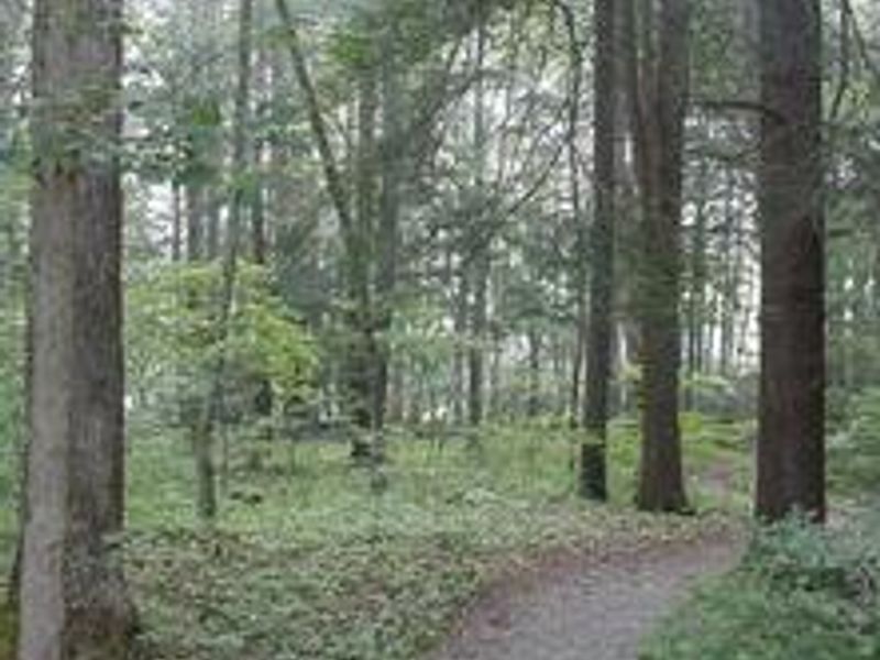
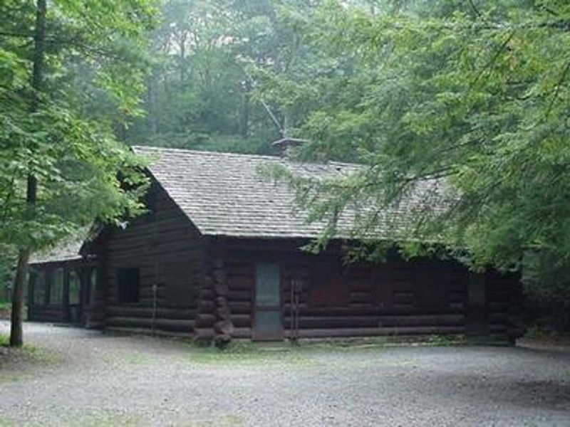
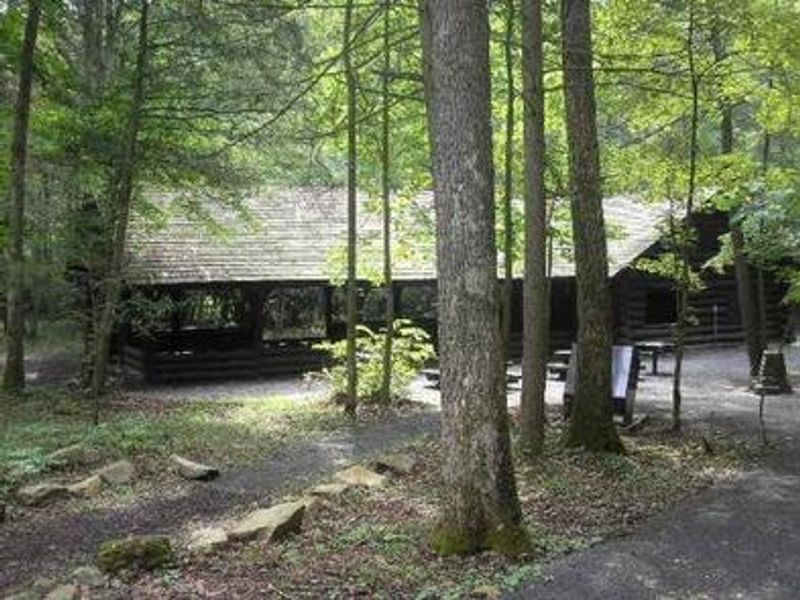
Blue Bend Recreation Area occupies a scenic wooded valley at 1,860 feet elevation along Anthony Creek in the Monongahela National Forest. Built by the Civilian Conservation Corps in the 1930s, the campground retains its historic character with rustic wood tables and shelters that appeal to visitors seeking a traditional camping experience. The recreation area serves both day visitors and overnight campers with 23 sites offering a mix of standard nonelectric, electric, and double sites with electric hookups. Anthony Creek provides excellent swimming and trout fishing opportunities. Hikers can access the 5-mile Blue Bend Loop Trail, which features three scenic overlooks and connects to the Anthony Creek Trail through rhododendron-filled valleys. Full services including flush toilets and showers are available during summer months, while vault toilets and a hand pump serve campers during spring and fall shoulder seasons. The area lies adjacent to the Big Draft Wilderness, home to black bear, wild turkey, white-tailed deer, and other wildlife.
Directions
From White Sulphur Springs, travel 8 miles north on State Route 92. Turn left (west) at Alvon, West Virginia, onto State Route 16. Travel 4 miles to the recreation area.
Nearby Campgrounds
Amenities
| Water | No |
| Fires Allowed | Yes |
| Toilets | Yes |
| Dump Station | — |
| Wifi | No |
| Pets Allowed | — |
| Showers | Yes |
| Electric Hookups | Yes |
| Water Hookups | No |
| Sewer Hookups | No |
| Camp Store | No |
| Price | $20 - $50 |
Vehicle
| Max RV Length | 60ft |
| Max Trailer Length | 60ft |
| Big Rig Friendly | — |
| Pull Through Sites | No |
Contact
| SM.FS.MongahelaNF@usda.gov | |
| Phone | +1 (304) 536-1440 |
Cell Service
| AT&T | None |
| Verizon | None |
| T-Mobile | None |
Availability
Photos
Community Posts
No posts yet. Be the first to share your experience!