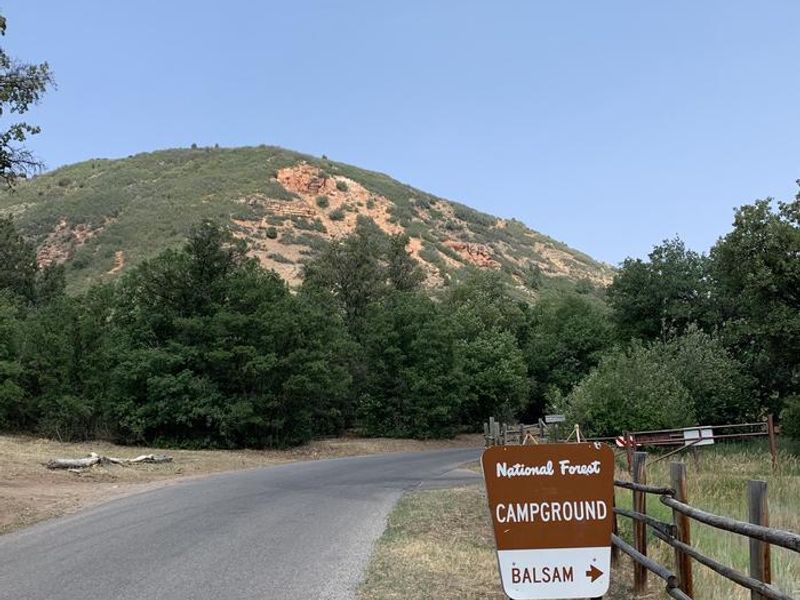
Balsam
Open for the 2026 season. Operating dates are approximately May 15 through September 13. Reservations available through Recreation.gov with some first-come-first-served sites. Campers must bring their own drinking water as no potable water is provided.
About
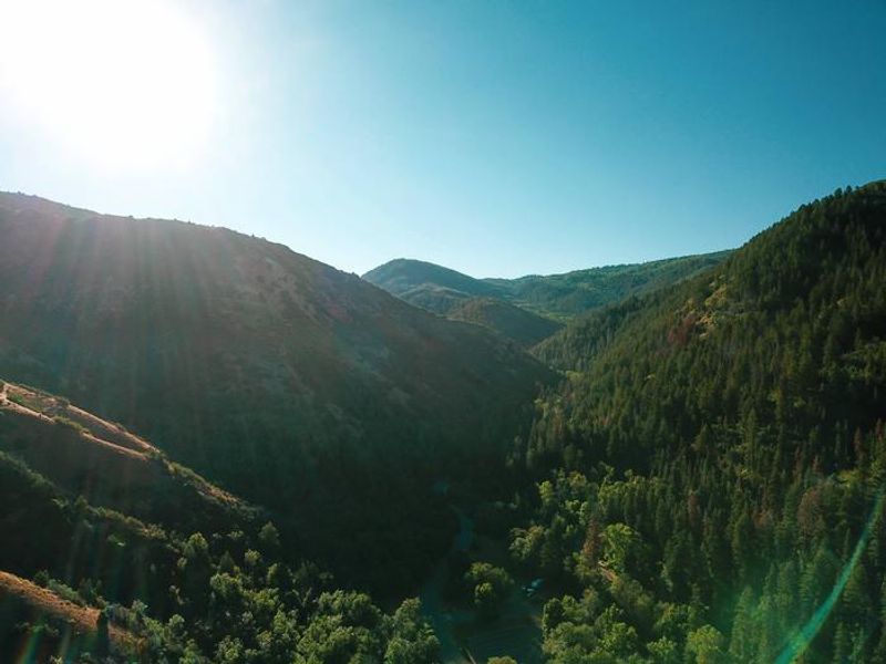
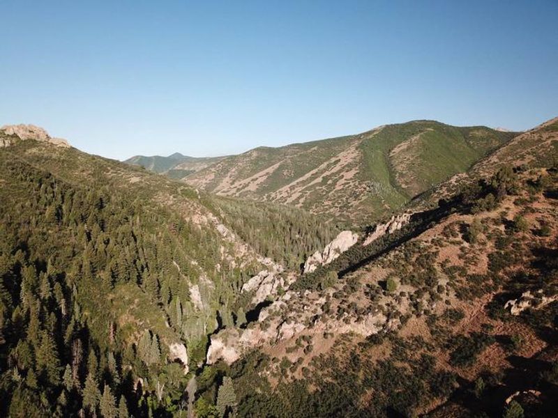
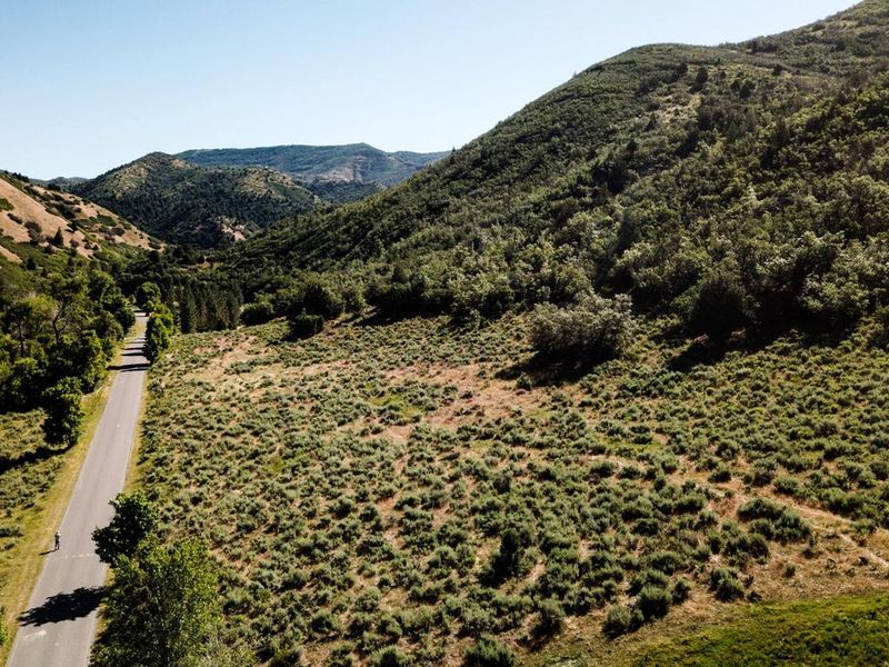
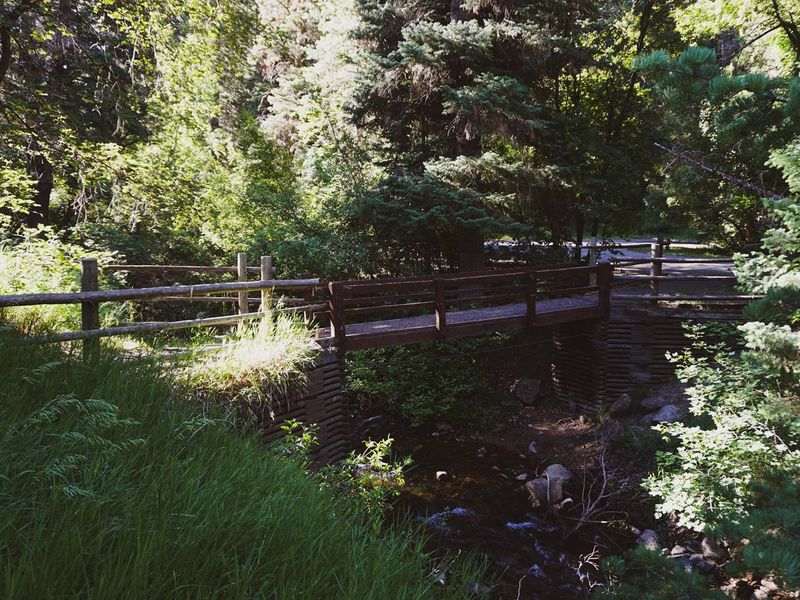
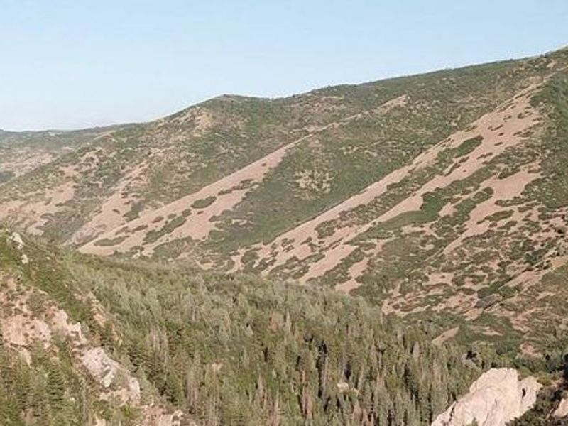
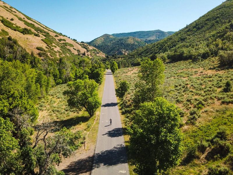
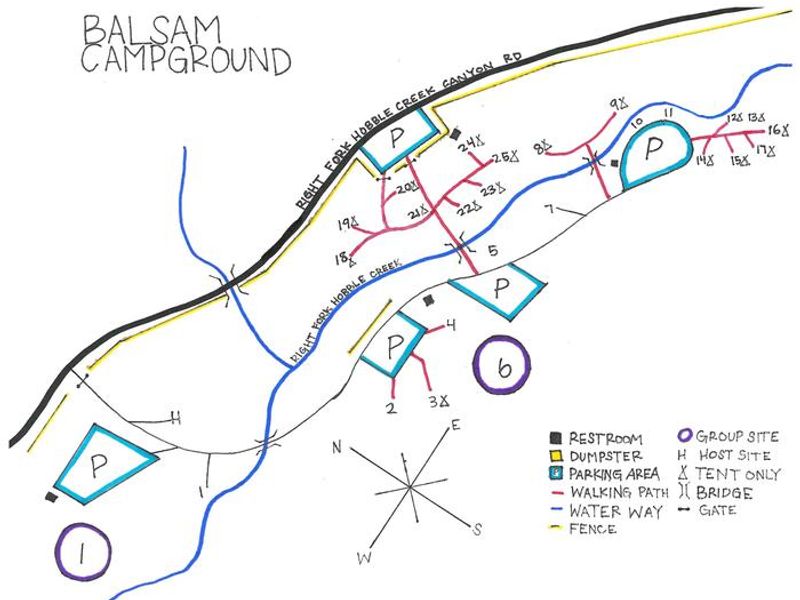
Balsam Campground occupies a scenic stretch of Hobble Creek Canyon in the Uinta-Wasatch-Cache National Forest, roughly 12 miles east of Springville. At 6,000 feet elevation, maple, fir, and cottonwood trees provide partial shade and vibrant fall color while Hobble Creek flows through the campground. The 26 sites include 24 single-family sites (a mix of tent-only and standard nonelectric) and 2 group sites accommodating up to 100 people. Rainbow and brown trout fishing draws anglers to Hobble Creek. Deer Springs Trail begins at the top of the campground and runs about a mile. Additional hiking, biking, and horseback riding options include Dry Canyon Trails, Left Fork and Days Canyon Trail (accessible from nearby Cherry Campground), and Kirkman Hollow Trail about 2 miles south. The paved road ends 8 miles up the canyon and continues as a dirt route over to Diamond Fork Canyon, offering scenic driving for off-road vehicles. Amenities include vault toilets, picnic tables, and fire rings with benches at each site. Campers must bring their own drinking water and pack out all trash. The campground operates seasonally from mid-May through mid-September and accepts reservations through Recreation.gov with some first-come-first-served availability.
Directions
From I-15 take Springville exit 260. Continue east through the intersection of Main Street and Highway 400 South. At the four-way stop at the end of 400 South, turn right onto Canyon Road. Head east up Canyon Road for about 6 miles. After passing Hobble Creek Golf Course, the road forks; stay right. Balsam Campground is approximately 6 miles past the golf course beyond the junction of Forest Roads 132 and 058.
Amenities
| Water | No |
| Fires Allowed | Yes |
| Toilets | Yes |
| Dump Station | No |
| Wifi | No |
| Pets Allowed | Yes |
| Showers | No |
| Electric Hookups | — |
| Water Hookups | — |
| Sewer Hookups | — |
| Camp Store | No |
| Price | $27.45 - $270.1 |
Vehicle
| Max RV Length | 35ft |
| Max Trailer Length | 35ft |
| Big Rig Friendly | No |
| Pull Through Sites | No |
Contact
| Phone | +1 (801) 798-3571 |
Cell Service
| AT&T | None |
| Verizon | None |
| T-Mobile | None |
Availability
Photos

Community Posts
No posts yet. Be the first to share your experience!