Woods Canyon Lake Group
Open for the season May 1 through mid-October. When the group site is not reserved, individual family camping is available first-come, first-served at $25 per night. Group reservations are $275 per night through Recreation.gov.
Flash Flood Warning issued July 20 at 4:49PM MST until July 20 at 7:45PM MST by NWS Flagstaff AZ
FFWFGZ The National Weather Service in Flagstaff has issued a * Flash Flood Warning for... Coconino County in north central Arizona... Navajo County in north central Arizona... * Until 745 PM MST. * At 449 PM MST, Doppler radar indicated thunderstorms producing heavy rain west of Winslow, along I-40. Flash flooding is ongoing or expected to begin shortly. HAZARD...Life threatening flash flooding. Thunderstorms producing flash flooding. SOURCE...Radar indicated. IMPACT...Life threatening flash flooding of creeks and streams, normally dry washes, urban areas, highways, streets and underpasses. * Some locations that will experience flash flooding include... Winslow, Winslow-Lindbergh Regional Airport and West Winslow. This includes the following highways... Interstate 40 between mile markers 244 and 252. Business Interstate 40 between mile markers 252 and 253. State Route 99 between mile markers 53 and 54. This includes the following creeks, washes and rivers... Tucker Flat Wash.
Flash Flood Warning issued July 20 at 2:57PM MST until July 20 at 6:00PM MST by NWS Flagstaff AZ
FFWFGZ The National Weather Service in Flagstaff has issued a * Flash Flood Warning for... The Dragon Bravo in... Coconino County in north central Arizona...This includes the Colorado River between river miles 36 and 61. * Until 600 PM MST /700 PM MDT/. * At 257 PM MST /357 PM MDT/, Doppler radar indicated thunderstorms producing heavy rain over the Dragon Bravo. Up to 2 inches of rain have fallen. Additional rainfall amounts up to 2 inches are possible in the warned area. Flash flooding is ongoing or expected to begin shortly. HAZARD...Life threatening flash flooding. Thunderstorms producing flash flooding in and around the Dragon Bravo. SOURCE...Radar indicated. IMPACT...Life threatening flash flooding of areas in and around the Dragon Bravo. * Some locations that will experience flash flooding include... Point Imperial Picnic Area, Saddle Mountain Overlook, Roosevelt Point Overlook, LCR Confluence Overlook, Saddle Mountain Wilderness, Triple Alcoves, Point Hansbrough, Royal Arches, Bert Loper's Boat, Anasazi Foot Bridge, Kwagunt Valley, Malgosa Canyon, Awatubi Canyon, Vista Encantada and Sixtymile Canyon. This includes the Colorado River between river miles 36 and 61. This includes the following recreation areas and campgrounds... Tatahatso Wash Camp Site, Tatahatso Camp Site, Above Martha's Camp Site, Martha's Camp Site, Redbud Alcove Camp Site, MCD Site Camp Site, Upper Buck Farm Camp Site, Buck Farm Camp Site, Below Buck Farm Camp Site, Loper's Boat Camp Site, Royal Arches Camp Site, Anasazi Bridge Camp Site, Lower Anasazi Camp Site, President Harding Camp Site, Eminence Camp Site, Above Willie Taylor Camp Site, Willie Taylor Camp Site, Triple Alcoves Camp Site, Duck N Quack Camp Site, Upper Saddle Camp Site, Lower Saddle Camp Site, Dinosaur Camp Site, Little Nankoweap Camp Site, Upper Nankoweap Camp Site, Main Nankoweap Camp Site, Lower Nankoweap Camp Site, Kwagunt Marsh Camp Site, Kwagunt Camp Site, Below Kwagunt Camp Site, Malgosa Camp Site, Opposite Malgosa Camp Site, Awatubi Camp Site, Below Awatubi Left Camp Site, Below Awatubi Right Camp Site, 60 Mile Ledge Camp Site and Old Fish Camp Site. This includes the following creeks, washes and rivers... "Crash Canyon", Clear Creek, Awatubi Canyon, Nankoweap Canyon, Nankoweap Creek, "Redbud Alcove", Saddle Canyon, Lava Canyon, Malgosa Canyon, Kwagunt Creek, Bekihatso Wash, Sixtymile Creek, Shinumo Wash, 60- Mile Canyon, North Canyon, Bright Angel Creek, Tatahoysa Wash, Nautiloid Canyon, Carbon Creek, Little Nankoweap Creek, Colorado River, Buck Farm Canyon, South Canyon, "Bert's Canyon", Little Colorado River and Tatahatso Wash.
Flash Flood Warning issued July 20 at 2:11PM MST until July 20 at 6:15PM MST by NWS Flagstaff AZ
FFWFGZ The National Weather Service in Flagstaff has issued a * Flash Flood Warning for... Coconino County in north central Arizona... * Until 615 PM MST. * At 211 PM MST, Doppler radar indicated thunderstorms producing heavy rain across the warned area. Up to 4 inches of rain have fallen. Additional rainfall amounts up to 2 inches are possible in the warned area. Flash flooding is ongoing or expected to begin shortly. HAZARD...Life threatening flash flooding. Thunderstorms producing flash flooding. SOURCE...Radar indicated. IMPACT...Life threatening flash flooding of creeks and streams, normally dry washes, urban areas, highways, streets and underpasses. * Some locations that will experience flash flooding include... Mainly rural areas of Coconino County. This includes the following creeks, washes and rivers... Jacks Canyon, Willow Creek and Clear Creek.
About
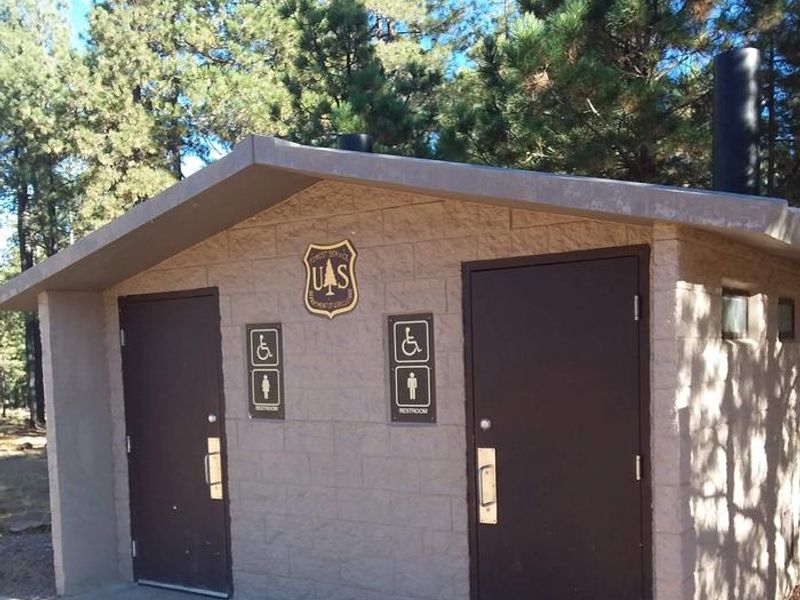
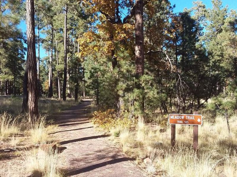
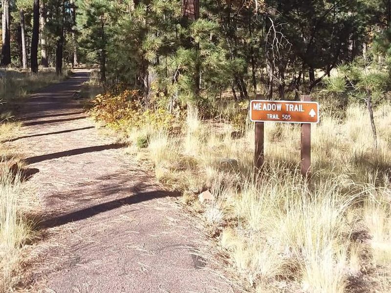
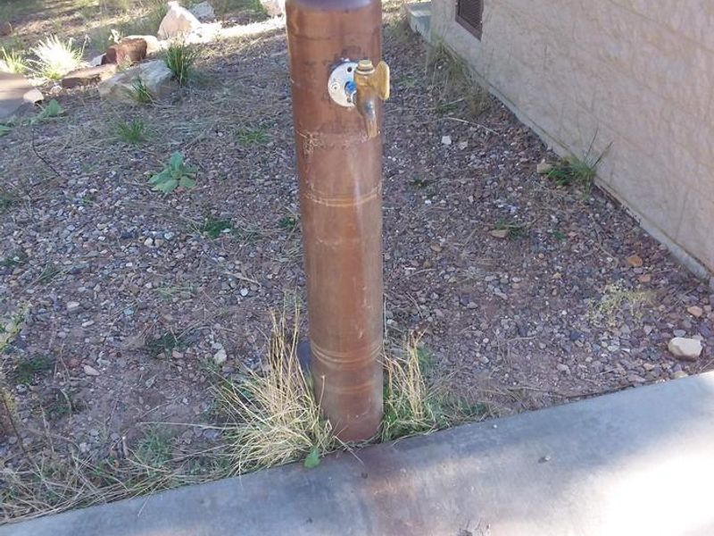
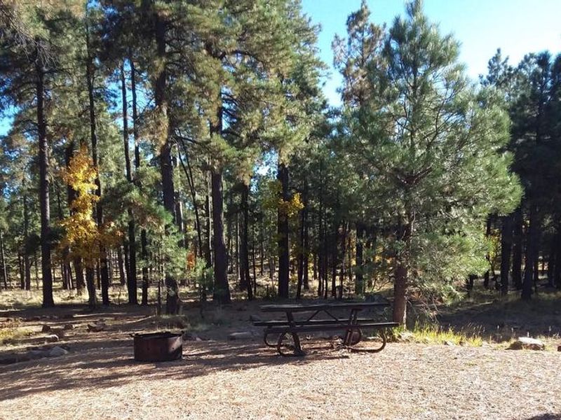
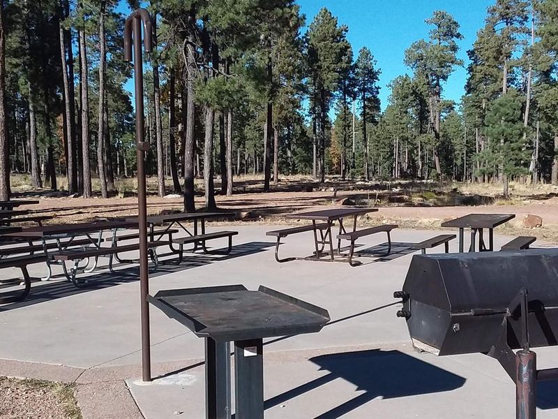
Woods Canyon Lake Group Campground is a dedicated group site in the Rim Lakes Recreation Area of the Apache-Sitgreaves National Forests, positioned at 7,600 feet elevation in north-central Arizona. The campground sits within a thick mixed forest of ponderosa pine, Douglas fir, oak, and aspen, just a short walk from the 52-acre Woods Canyon Lake. The single large site accommodates up to 100 people and 30 vehicles on a gravel pull-through driveway, making it ideal for family reunions, scout troops, and organizational gatherings. The site includes fire rings, picnic tables, a vault toilet, and potable water. Woods Canyon Lake allows only electric trolling motors and provides quality trout fishing in both the lake and nearby streams. The Rim Lakes Vista Trail begins less than a mile from the campground and offers expansive views of the Mogollon Rim. An easy interpretive trail loops around the lake, and free interpretive nature programs are available to groups by advance arrangement. Summer temperatures at this elevation are pleasant, though afternoon thunderstorms are common from late June through August. Wildlife in the area includes deer, elk, squirrels, and occasional bears. The nearest full-service community is Payson, 35 miles west on Highway 260.
Directions
From Payson, Arizona, take Highway 260 northeast toward Heber. Turn left (west) onto Forest Road 300 and follow for 3 miles. Turn right at Woods Canyon Lake Road and travel 0.75 miles to the campground on the right.
Location
Amenities
| Water | Yes |
| Fires Allowed | Yes |
| Toilets | Yes |
| Dump Station | — |
| Wifi | — |
| Pets Allowed | Yes |
| Showers | No |
| Electric Hookups | — |
| Water Hookups | — |
| Sewer Hookups | — |
| Camp Store | No |
| Price | $275 |
Vehicle
| Max RV Length | 40ft |
| Max Trailer Length | 40ft |
| Big Rig Friendly | No |
| Pull Through Sites | No |
Contact
| Phone | +1 (928) 535-0181 |
Cell Service
| AT&T | None |
| Verizon | Yes |
| T-Mobile | None |
Availability
Photos
Community Posts
No posts yet. Be the first to share your experience!