Crook Campground
Open seasonally from mid-May through mid-October. The campground operates as a group reservation facility only with two sites available. Reservations are made through Recreation.gov.
No Fire Restrictions
There are currently no fire restrictions within the Apache-Sitgreaves National Forests.
14 Day Camping Limit Order
Apache-Sitgreaves National Forests visitors are limited to no more than 14 consecutive days within any 30 day period.
Scott Reservoir Recreation Site Closure - Lakeside RD
The purpose of this Order to protect public health and safety from unsanitary conditions resulting from use of the area for camping with the lack of bathroom facilities.
About
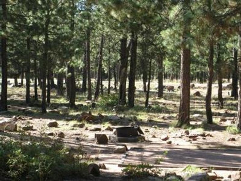
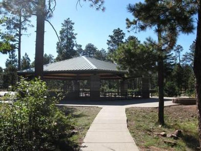
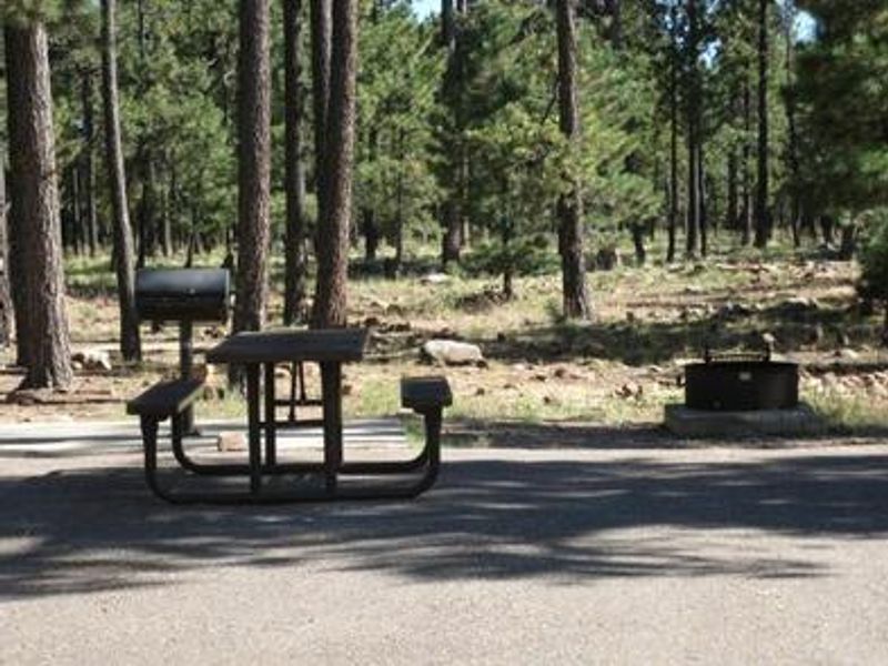
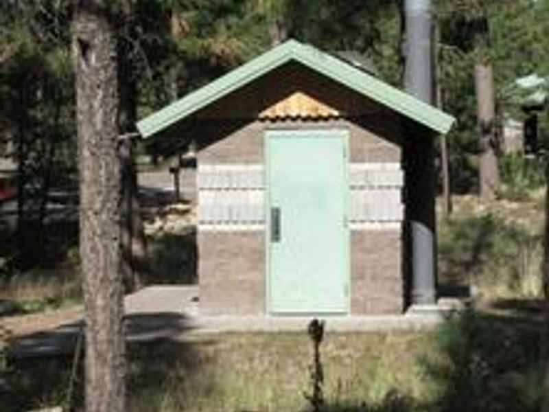
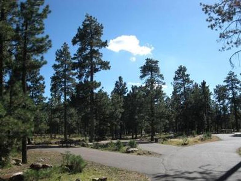
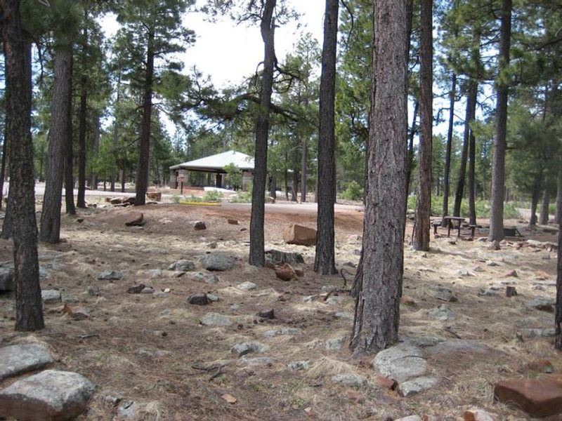
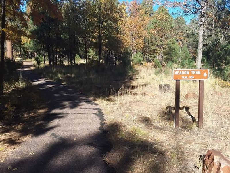
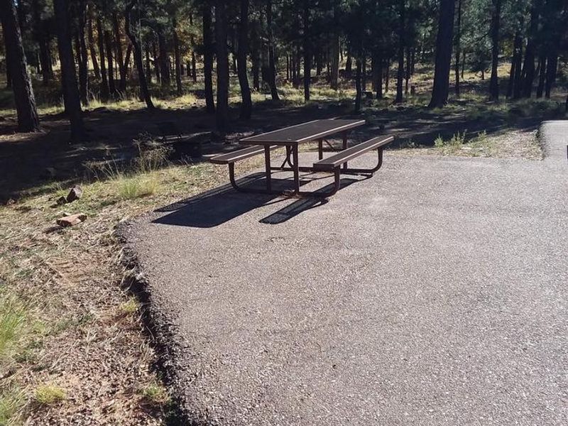
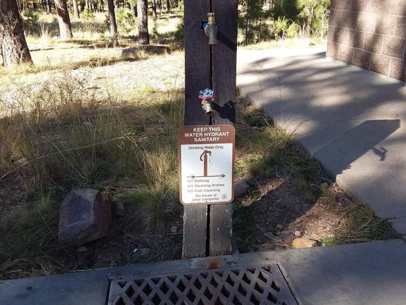
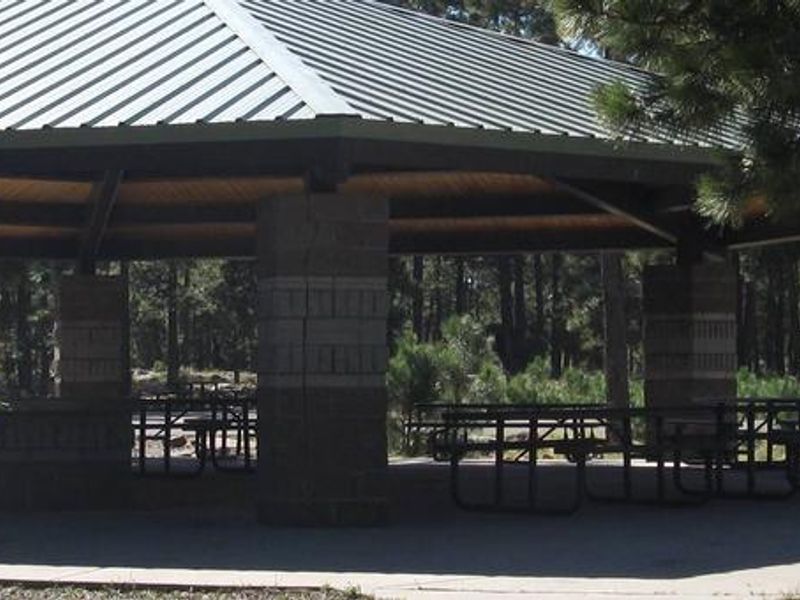
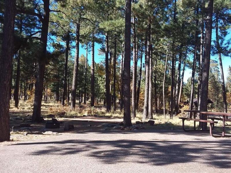
Crook Campground is a group-only reservation facility situated in a tall ponderosa pine forest at 7,500 feet elevation in the Apache-Sitgreaves National Forest. Located approximately 3/4 mile from Woods Canyon Lake, the campground provides a shaded retreat for large gatherings with easy access to fishing, boating (electric motors only), and hiking. The paved Meadow Trail borders the campground and connects to both Woods Canyon Lake and the Rim Lakes Vista Trail, offering spectacular views of the Mogollon Rim. The campground consists of two group loops (GRPA and GRPB) arranged in a cul-de-sac design, each capable of hosting up to 110 campers and 26 vehicles with parallel parking. Amenities include vault toilets, potable water, fire rings with grills, picnic tables, and a covered ramada in each loop. A dump station is located nearby, and firewood is available for purchase. Groceries and supplies can be found at the Woods Canyon Store or in Forest Lakes, 9 miles east. Summer temperatures at this elevation are pleasant, though afternoon thunderstorms are common from late June through August. The campground offers free interpretive nature programs for groups when scheduled in advance. The surrounding Apache-Sitgreaves National Forest encompasses 2 million acres of mountain country with endless opportunities for outdoor recreation.
Directions
From Heber: Travel 25 miles west on State Highway 260. Turn right onto Forest Road 300, located directly across from the Rim Visitor Information Station. Travel about 4 miles north toward Woods Canyon Lake. Turn right onto Forest Road 105 toward Woods Canyon Lake and watch for signs for Crook Campground. From Payson: Travel approximately 30 miles east on State Highway 260. When you top out on the rim, take the first left onto Forest Road 300 directly across the highway from the Rim Visitor Information Station. Travel about 4 miles north, turn right onto Forest Road 105 toward Woods Canyon Lake, and watch for signs for Crook Campground.
Location
Amenities
| Water | Yes |
| Fires Allowed | Yes |
| Toilets | Yes |
| Dump Station | Yes |
| Wifi | No |
| Pets Allowed | Yes |
| Showers | No |
| Electric Hookups | — |
| Water Hookups | — |
| Sewer Hookups | — |
| Camp Store | No |
| Price | $330 |
Vehicle
| Max RV Length | 30ft |
| Max Trailer Length | 30ft |
| Big Rig Friendly | No |
| Pull Through Sites | No |
Contact
| Phone | +1 (928) 535-0181 |
Cell Service
| AT&T | Yes |
| Verizon | Yes |
| T-Mobile | None |
Availability
Photos
Community Posts
No posts yet. Be the first to share your experience!