Whitehorse Campground
Currently closed for the season. Opens May 22, 2026, conditions permitting. Operating season runs Memorial Day through late September. Sites 1-7 are first-come-first-served; remaining sites reservable via Recreation.gov.
National Forest System Roads
Follow California Vehicle Code on National Forest System Roads
Fireworks and Explosives are always Prohibited
Fireworks and explosives (including explosive targets) are always prohibited on national forest lands. The prohibition of fireworks and exploding targets on national forest system lands is part of a set of permanent fire safety regulations in the Code of Federal Regulations (CFR), listed below.…
Stage I Fire Restrictions - Plumas National Forest
The Plumas National Forest is entering Stage I Fire Restrictions on Thursday, July 9, based on increased fire danger and fire behavior indices, combined with drying fuels.
About
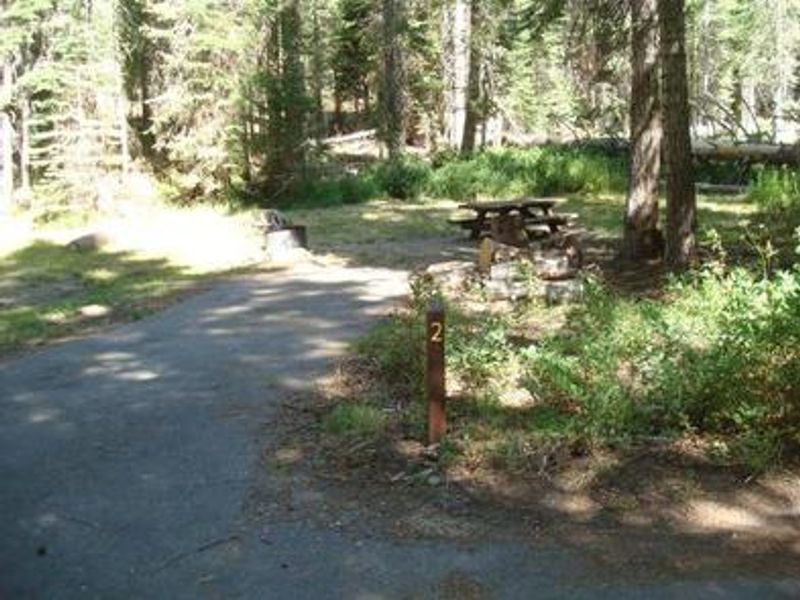
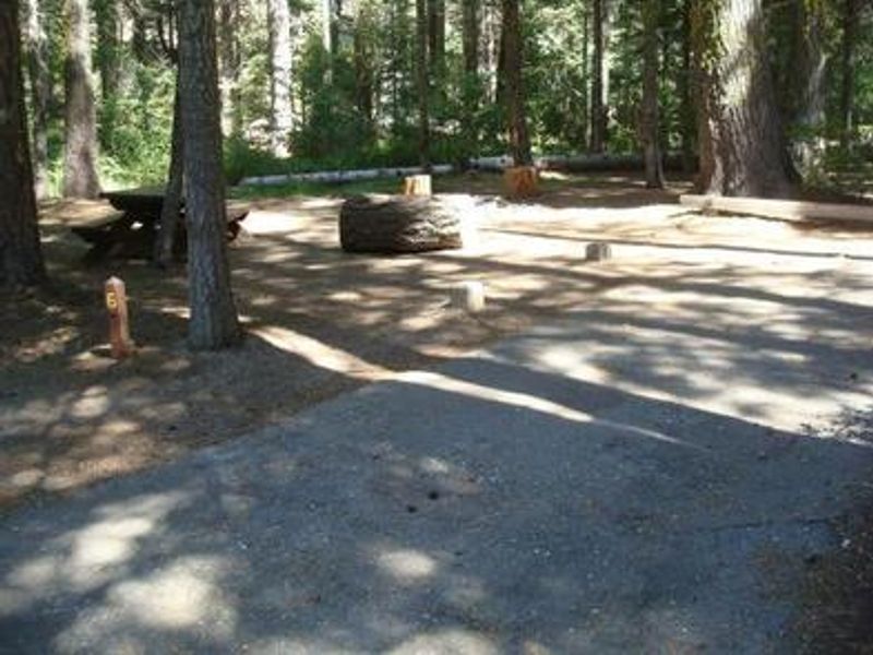
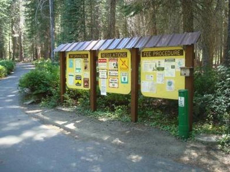
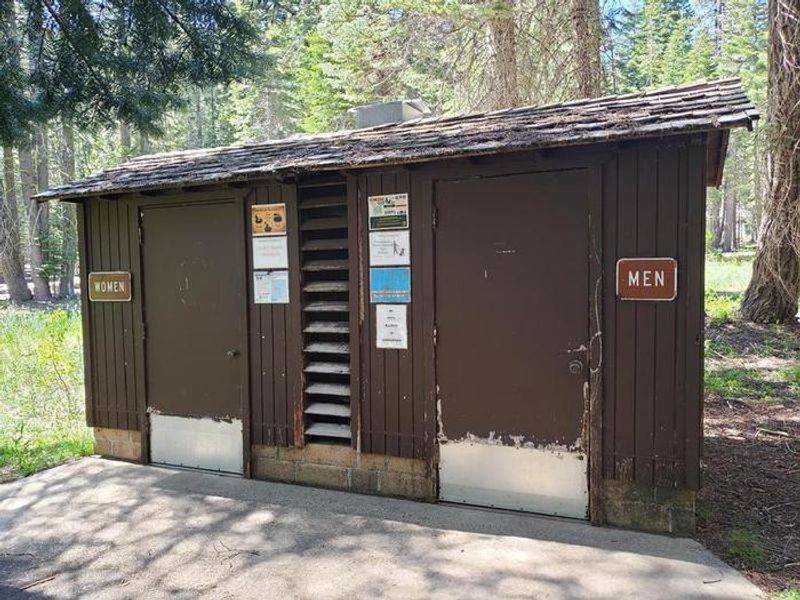
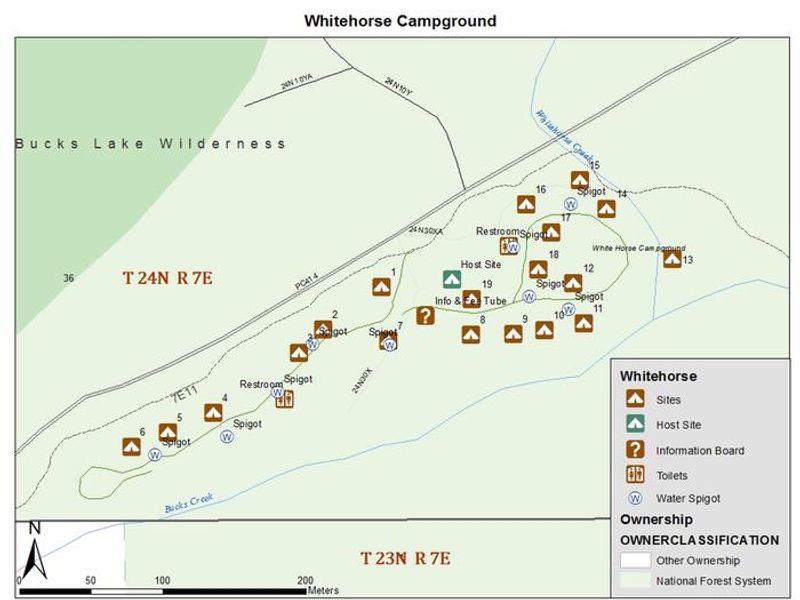
Whitehorse Campground occupies a shaded setting among towering pines along Bucks Creek in the Plumas National Forest. At 5,500 feet elevation in the northern Sierra Nevada, the campground provides a cool retreat during summer months while remaining within easy reach of Bucks Lake, less than 3 miles away. The 19 campsites are distributed across two loops and include three equestrian sites without corrals. Each campsite features a paved parking spur ranging from 25 to 40 feet, a concrete picnic table, fire ring with grill, and bear-proof food storage locker. The campground received upgrades in 2024 with new tables and bear boxes at most sites. Facilities include vault toilets, potable water from spigots throughout the campground, and trash service. Sites 1-7 operate first-come-first-served with fee envelopes at the entrance; remaining sites are reservable through Recreation.gov. The Bucks Creek Loop Trail runs directly through the campground, offering hiking and horseback riding access to the Bucks Lake Wilderness and Pacific Crest Trail. Bucks Lake provides fishing, boating, and canoeing opportunities. The Bucks Lake Lodge nearby has a restaurant, bar, and store with fishing supplies and groceries. The Haskins Valley Store offers additional supplies and a deli.
Directions
From Quincy: Take Oroville-Quincy Highway west 15 miles to the campground on the left. Large RVs should take Oroville-Quincy Highway, turn left onto Big Creek Road, then right on Bucks Lake Road; campground on right. From Oroville: Take Oroville-Quincy Highway 162 East, turn left on Bucks Lake Road; campground on right.
Amenities
| Water | Yes |
| Fires Allowed | Yes |
| Toilets | Yes |
| Dump Station | No |
| Wifi | No |
| Pets Allowed | Yes |
| Showers | No |
| Electric Hookups | — |
| Water Hookups | — |
| Sewer Hookups | — |
| Camp Store | No |
| Price | $31 |
Vehicle
| Max RV Length | 40ft |
| Max Trailer Length | 40ft |
| Big Rig Friendly | No |
| Pull Through Sites | No |
Contact
| adam@royalelkparkmanagement.com | |
| Phone | +1 (530) 283-0555 |
Cell Service
| AT&T | None |
| Verizon | None |
| T-Mobile | None |
Availability
Photos


Community Posts
No posts yet. Be the first to share your experience!