Westwater Group Site
Open and accepting reservations via Recreation.gov at $50 per night for up to 30 people. No potable water is available on site.
About
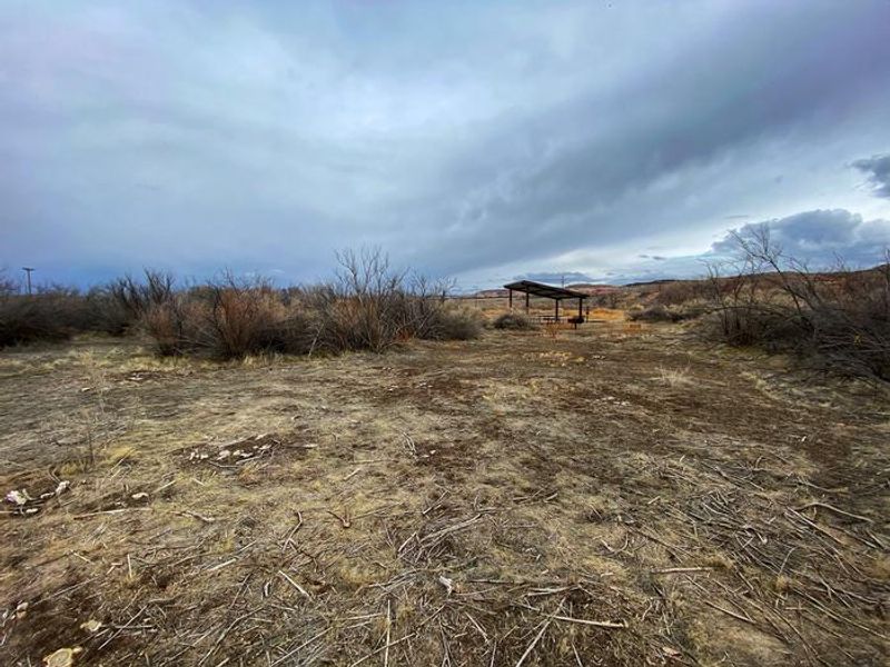
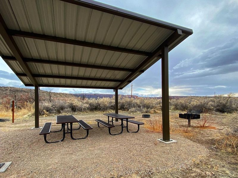
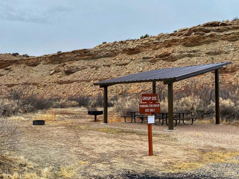
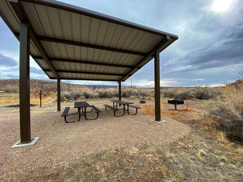
The Westwater Group Site sits at the Westwater Ranger Station, marking the take-out for the 25-mile Ruby-Horsethief section of the Colorado River and the put-in for the more challenging 17-mile Westwater Canyon stretch with its Class I-IV rapids. This single group campsite can accommodate up to 30 people with parking for 10 vehicles, making it a prime staging area for multi-day river expeditions. The site offers a shade shelter with picnic tables, a fire ring, and a vault toilet. There is no potable water, showers, or hookups. Trash service is available. Generator hours are 8 AM to 8 PM, and quiet hours run from 10 PM to 6 AM. North of the site lies Kokopelli's Trail, a 140-mile mountain biking route stretching from Loma, Colorado to Moab, Utah. The surrounding Westwater Wilderness Study Area provides opportunities for day hiking with views of abandoned settler cabins and geological formations. Moab, Arches National Park, and Canyonlands National Park are approximately 70 miles southwest.
Directions
From Grand Junction, Colorado: Take I-70 west for approximately 35 miles to exit 227. Turn south at the stop sign and proceed 9 miles to the Ranger Station. From the west on I-70: Take exit 227, head south at the stop sign, and proceed 9 miles. Do NOT use exit 221 toward Sulpher when roads are wet due to potentially impassable muddy conditions.
Nearby Campgrounds
Amenities
| Water | No |
| Fires Allowed | Yes |
| Toilets | Yes |
| Dump Station | No |
| Wifi | No |
| Pets Allowed | — |
| Showers | No |
| Electric Hookups | — |
| Water Hookups | — |
| Sewer Hookups | — |
| Camp Store | No |
| Price | $50 |
Vehicle
| Max RV Length | 25ft |
| Max Trailer Length | 25ft |
| Big Rig Friendly | — |
| Pull Through Sites | No |
Contact
| blm_ut_mb_mail@blm.gov | |
| Phone | +1 (435) 259-2100 |
Cell Service
| AT&T | None |
| Verizon | None |
| T-Mobile | Yes |
Availability
Photos
Community Posts
No posts yet. Be the first to share your experience!