Warm Lake
The campground operates mid-May through mid-September. Opening for the 2026 season on May 16. Reservations available through Recreation.gov.
Weed Free Hay Order 04-2021-03
Prohibited by this order: Possessing, storing, or transporting non-pelletized hay, straw, or mulch in the Intermountain Region, unless it is certified as weed free by the state where the product originated.
Fireworks and Spark Arrestor Order 04-2021-01
Prohibited by this order: Possessing, discharging, or using any kind of firework or other pyrotechnic device. 36 CFR §261.52(t)Operating or using any internal or external combustion engine without a spark arresting device properly installed, maintained and in effective working order as described…
Explosives and Exploding Target Order 04-2021-02
This order prohibits the use of explosives and exploding targets on National Forest System lands within the Intermountain Region.
About
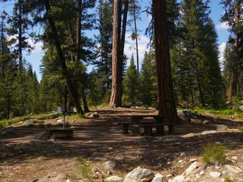
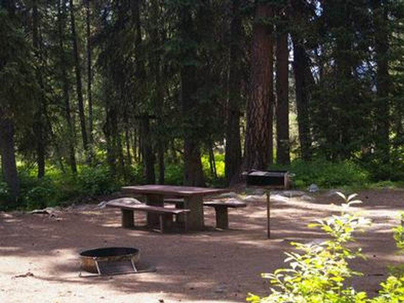
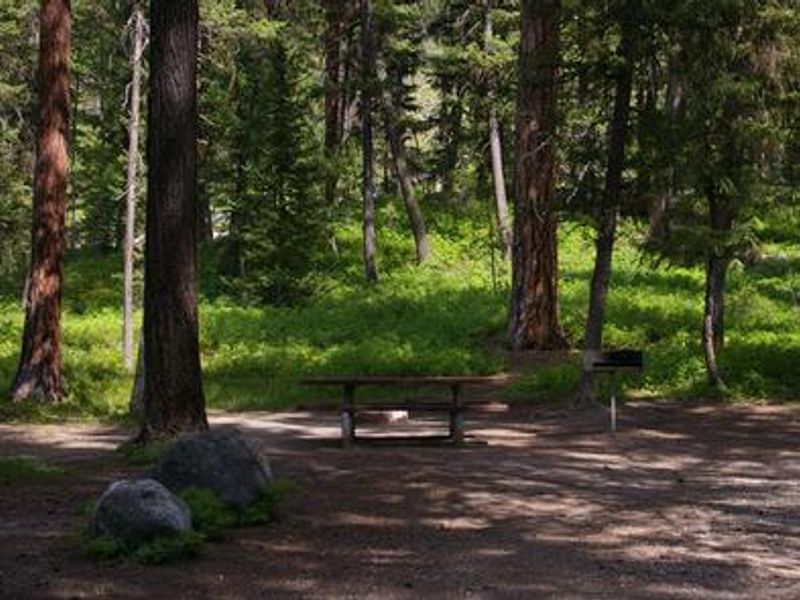
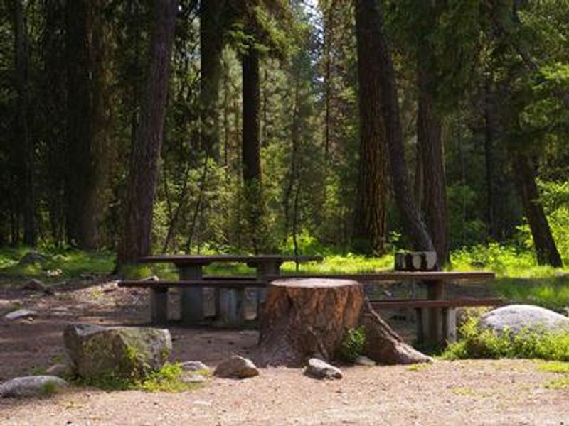
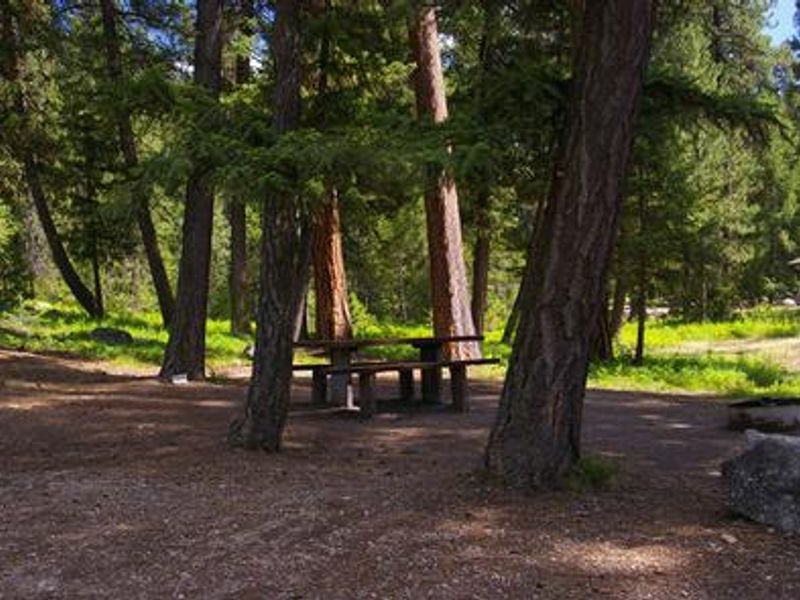
Warm Lake Campground occupies a scenic spot near the eastern shore of Warm Lake in Idaho's Boise National Forest, at an elevation of 5,300 feet. The campground sits within a forest of towering old-growth ponderosa pine that provides partial shade, with Chipmunk Creek flowing alongside. Wildlife in the area includes bears, deer, elk, fox, eagles, osprey, and otters. The lake offers excellent fishing for cutthroat, rainbow, lake, and bull trout. Boating, canoeing, and swimming are popular activities, with a developed swim beach at Warm Lake Lodge less than a quarter-mile away and Billy Rice Swim Beach about a mile north. A boat ramp is available at nearby Shoreline Campground. The surrounding area provides opportunities for hiking, mountain biking, horseback riding, and OHV use. The WeWuKiye Trail No. 252 at Shoreline Campground is popular for hiking and biking, while Telephone Ridge Trail No. 112 offers 20 miles of OHV trails for all skill levels with staging areas at both campgrounds.
Directions
From Boise, travel 85 miles north on Highway 55 to Cascade. Turn east on Warm Lake Highway and travel 25 miles to Forest Road 579KA. Turn south and travel a short distance to the campground.
Amenities
| Water | Yes |
| Fires Allowed | Yes |
| Toilets | Yes |
| Dump Station | — |
| Wifi | No |
| Pets Allowed | — |
| Showers | No |
| Electric Hookups | — |
| Water Hookups | — |
| Sewer Hookups | — |
| Camp Store | No |
| Price | $20 |
Vehicle
| Max RV Length | 60ft |
| Max Trailer Length | 60ft |
| Big Rig Friendly | No |
| Pull Through Sites | No |
Contact
| Phone | +1 (208) 382-7400 |
Cell Service
| AT&T | None |
| Verizon | None |
| T-Mobile | None |
Availability
Photos

Community Posts
No posts yet. Be the first to share your experience!