Shoreline
Currently closed for the winter season. The campground typically opens mid-May and operates through mid-September, weather dependent. Reservations are available through Recreation.gov.
Weed Free Hay Order 04-2021-03
Prohibited by this order: Possessing, storing, or transporting non-pelletized hay, straw, or mulch in the Intermountain Region, unless it is certified as weed free by the state where the product originated.
Fireworks and Spark Arrestor Order 04-2021-01
Prohibited by this order: Possessing, discharging, or using any kind of firework or other pyrotechnic device. 36 CFR §261.52(t)Operating or using any internal or external combustion engine without a spark arresting device properly installed, maintained and in effective working order as described…
Explosives and Exploding Target Order 04-2021-02
This order prohibits the use of explosives and exploding targets on National Forest System lands within the Intermountain Region.
About
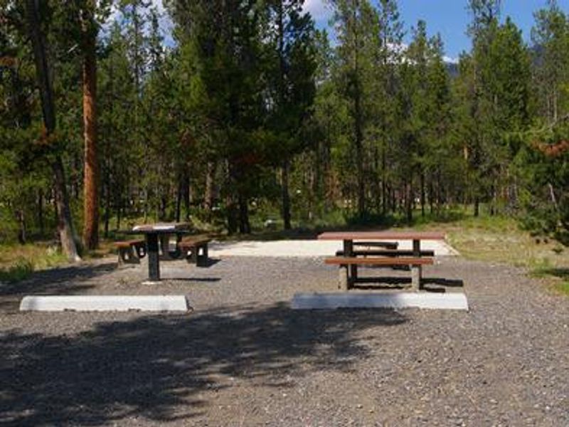
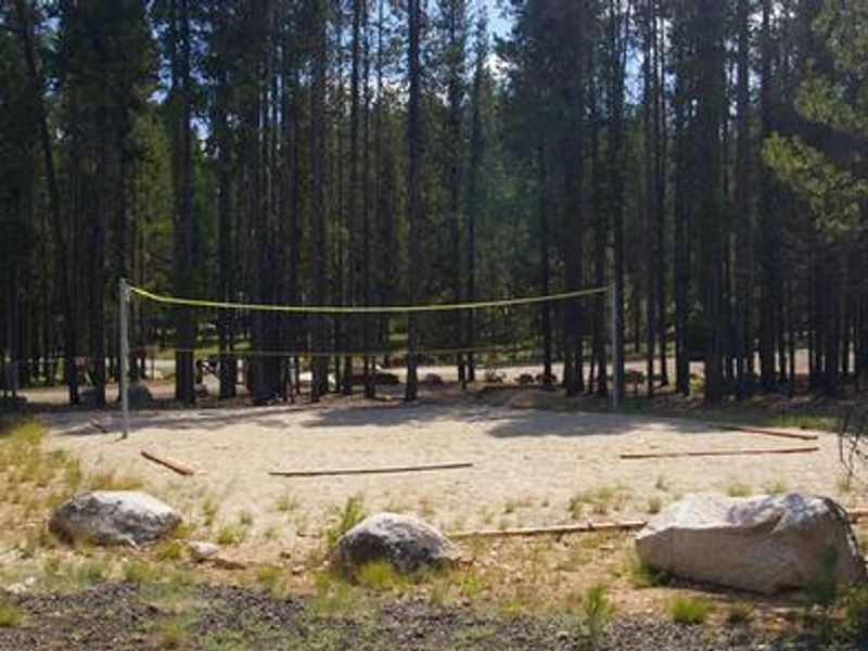
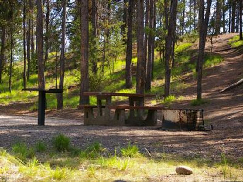
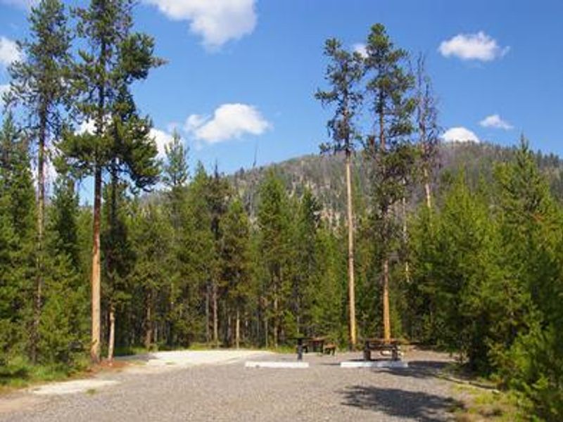
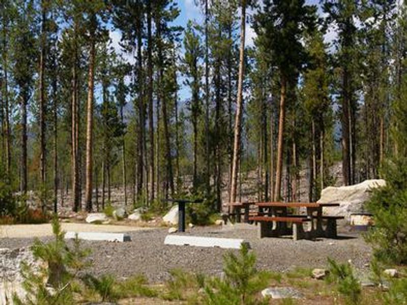
Shoreline Campground occupies a prime location just across the road from Warm Lake in Idaho's Boise National Forest. Set at 5,300 feet in a mixed-growth lodgepole pine forest with partial shade and abundant summer wildflowers, the campground offers 32 single and double campsites plus an accessible group site that accommodates up to 50 people with a picnic shelter, volleyball court, and horseshoe pits. Warm Lake provides excellent fishing for cutthroat, rainbow, lake, and bull trout. A boat ramp sits directly across from the campground, and Billy Rice Swim Beach offers day-use swimming and picnicking nearby. The WeWuKiye Trail (No. 252) for hiking and mountain biking is accessible from the campground entrance, while Telephone Ridge Trail (No. 112) offers 20 miles of OHV trails for all skill levels with staging areas within the campground. Wildlife in the area includes bears, deer, elk, fox, eagles, osprey, and otters. Bear awareness is advised. The campground operates seasonally from mid-May through mid-September, with reservations available through Recreation.gov.
Directions
From Boise, travel 85 miles north on Highway 55 to Cascade. Turn east on Warm Lake Highway (Forest Highway 22) and go 25 miles to Forest Road 489. Turn south and continue a half-mile to the campground.
Amenities
| Water | Yes |
| Fires Allowed | Yes |
| Toilets | Yes |
| Dump Station | — |
| Wifi | No |
| Pets Allowed | Yes |
| Showers | No |
| Electric Hookups | — |
| Water Hookups | — |
| Sewer Hookups | — |
| Camp Store | — |
| Price | $20 - $50 |
Vehicle
| Max RV Length | 99ft |
| Max Trailer Length | 99ft |
| Big Rig Friendly | Yes |
| Pull Through Sites | No |
Contact
| Phone | +1 (208) 382-7400 |
Cell Service
| AT&T | None |
| Verizon | None |
| T-Mobile | None |
Availability
Photos

Community Posts
No posts yet. Be the first to share your experience!