Up Up Lookout
Currently closed for the season. Opens June 12, 2026 through October 6, 2026. Reservations available via Recreation.gov. During 2026, access is via Ward Creek Road only; Deer Creek Road is not accessible. Maximum stay is 3 nights per reservation.
From Recreation.gov
During the 2026 season, renters will need to utilize the Ward Creek Road to get to the Up Up Lookout Tower. Please follow the information under the Getting There tab for the Ward Creek Road directions. The Deer Creek Road will not be accessible for the 2026 season. Please contact the Superior Ranger District mid-summer for updated information at 406-822-4233. NOTE: Phone and vehicle GPS mapping directions are not correct. Please use our directions.
Northern Region Camping & Target Restrictions, Pallet Prohibition
This order defines the maximum length of occupation at a single location or cumulatively at any number of locations within a calendar year, within the states of Montana, North Dakota, South Dakota, and Idaho
Weed Free Forage & Mulch Products Order for the Northern Region
It is illegal to possess, store or transport straw, hay, grain, seed or other forage or mulch products on Forest Service lands without documentation that the product is certified as “weed free” by a state certification process that meets or exceeds the North American Weed Free Forage standards.
About
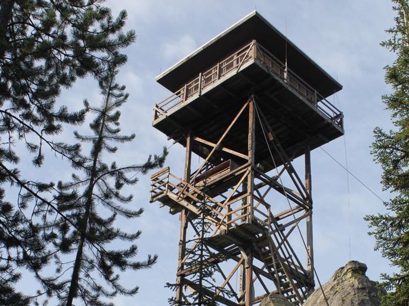
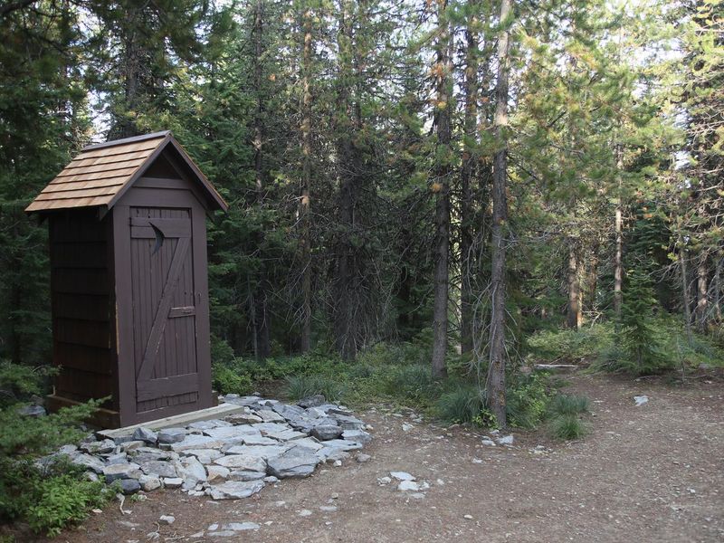
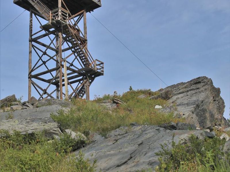
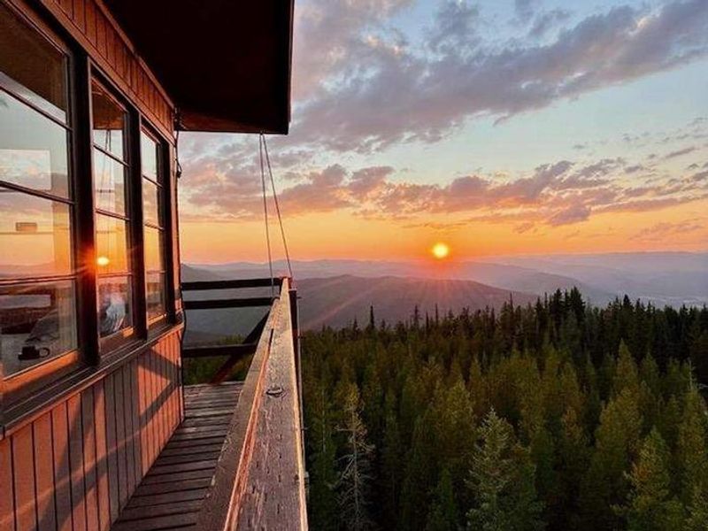
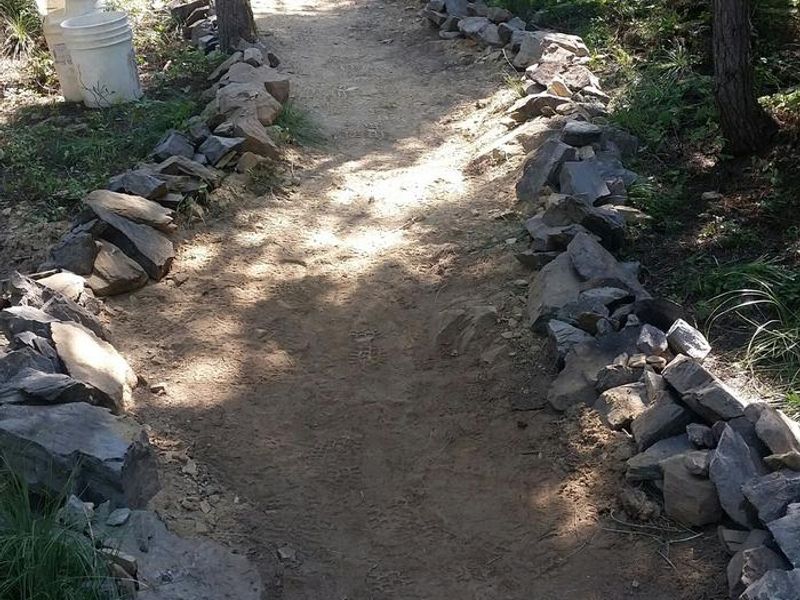
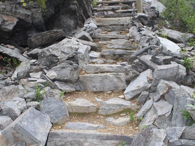
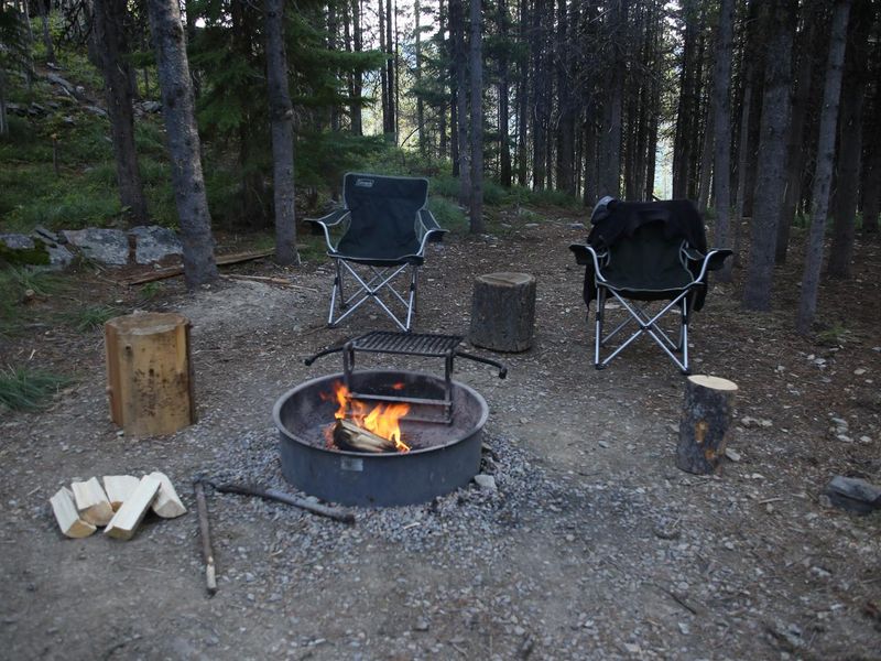
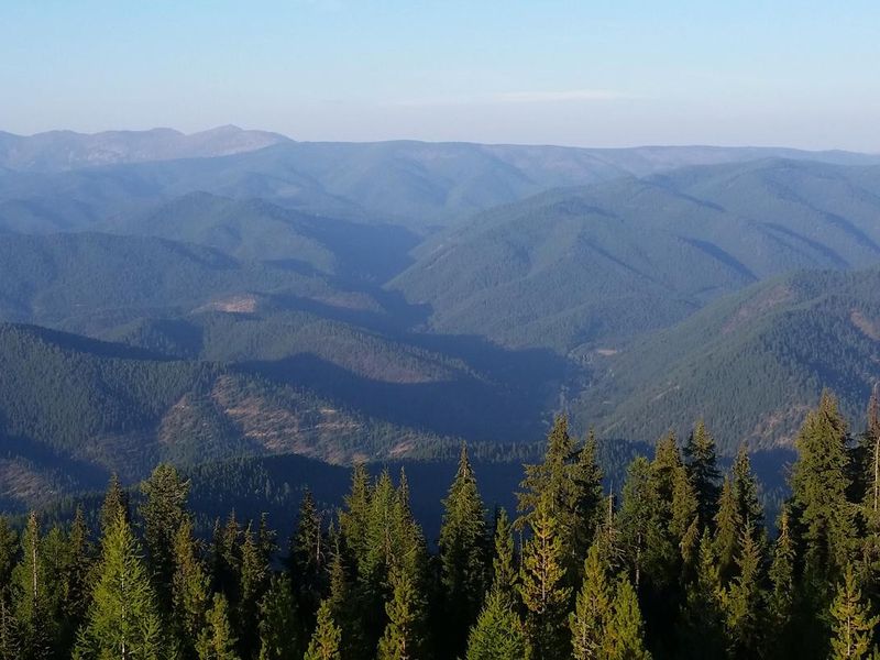
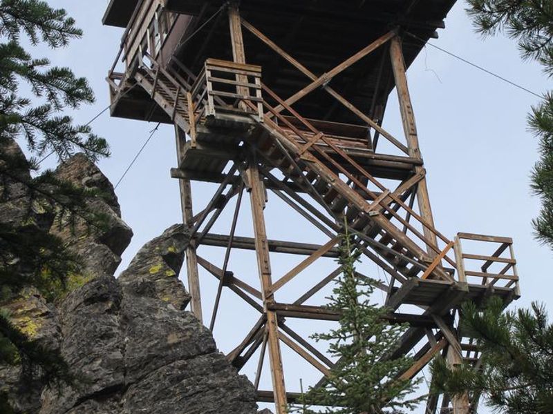
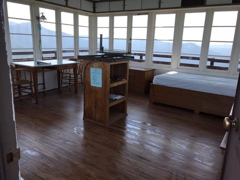
Up Up Lookout is a historic 40-foot wooden fire lookout tower built in the 1930s, perched dramatically on a rock pinnacle in the Bitterroot Mountains of western Montana near the Idaho border. At 5,900 feet elevation, guests enjoy sweeping views of the St. Regis River drainage and surrounding alpine peaks. The tower accommodates up to four people with one twin bed and mattress pad; additional cots are recommended. The lookout is equipped with propane lights and a wall-mounted heater but has no cooking facilities or refrigeration. At the tower base, visitors will find a vault toilet, fire ring with grill, and picnic table. No potable water is available, so guests must bring their own supply. All garbage and food must be packed out, and bear safety food storage requirements apply. The Up Up Ridge Trail provides access to the spectacular Ward and Eagle Peaks roadless area, featuring scenic alpine lakes and trails leading to 7,300-foot Eagle Peak. The area offers excellent opportunities for hiking, mountain biking, wildlife viewing, berry picking, and fall colors. Big game hunters frequently use the ridge during hunting season.
Directions
From I-90, take Ward Creek Exit 26 (eastbound only; if westbound, take Drexel Exit 25 and return eastbound). Travel Ward Creek Road #889 for 3.2 miles, turn right onto Road #3816 and travel 12.1 miles to the locked gate, then proceed 3.2 miles to the tower base. Do not follow GPS directions.
Location
Amenities
| Water | No |
| Fires Allowed | Yes |
| Toilets | Yes |
| Dump Station | No |
| Wifi | No |
| Pets Allowed | No |
| Showers | No |
| Electric Hookups | — |
| Water Hookups | — |
| Sewer Hookups | — |
| Camp Store | No |
| Price | $45 |
Vehicle
| Max RV Length | — |
| Max Trailer Length | — |
| Big Rig Friendly | No |
| Pull Through Sites | No |
Contact
| Phone | +1 (406) 822-4233 |
Cell Service
| AT&T | Yes |
| Verizon | Yes |
| T-Mobile | None |
Availability
Photos
Community Posts
No posts yet. Be the first to share your experience!