Timpanogas Lake Campground
The campground opened May 22, 2026 and closes September 29, 2026. All sites are first-come-first-served with no reservations. Road construction on Forest Road 21 may cause delays beginning June 1, 2026.
Alcohol Prohibitions
This Order describes acts that are prohibited upon lands, roads and trails within the National Forest System administered by the Forest Service Pacific Northwest Region in regards to alcoholic beverages.
Aquatic Invasive Species
This Order prohibits 1) possessing, storing, or transporting any aquatic invasive animal species AND 2) prohibits possessing, storing, or transporting any aquatic or riparian invasive plant species - on National Forest System lands in the Pacific Northwest Region as specified in the Order.
Restrictions on Use of Forage and Mulch Products
This Order prohibits unloading, storing, or using any straw, hay, grain, seed, or other forage or mulch products that are not state-certified weed free on the National Forest System lands, roads or trails in any Closure Area as specific in the Order. Some examples of these include hay bales, hay…
About
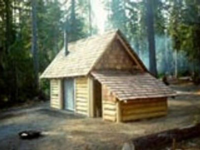
Timpanogas Lake Campground occupies a remote, scenic location at 5,300 feet elevation in the Oregon Cascades Recreation Area within Willamette National Forest. The small 10-site campground sits near the headwaters of the Middle Fork Willamette River, surrounded by stands of silver, grand, and noble fir. Each site includes a picnic table, with vault toilets and potable water from a hand pump available to campers. Timpanogas Lake is restricted to non-motorized boats, making it ideal for canoeing and quiet fishing for cutthroat and brook trout. The Timpanogas Basin provides 23 miles of hiking trails offering excellent views of Diamond Peak, Sawtooth, and Cowhorn Mountains. The Diamond Peak Wilderness and Pacific Crest Trail are nearby. Access is via Forest Road 21 (Diamond Drive) from Oakridge, then approximately 8 miles on Forest Road 2154, where pavement ends around mile 3.4. The rough, narrow final stretch limits suitability for large RVs. Mosquitoes are heavy from July through August. The campground operates first-come-first-served with no reservations.
Directions
From Oakridge, Oregon: From the intersection of Crestview Street and Highway 58, proceed east 1.7 miles. Turn right onto Hills Creek Road/Kitson Springs Road. Travel 0.5 miles and turn right onto Forest Road 21. Continue approximately 32 miles past Indigo Springs Campground to the junction with Forest Road 2154. Turn left onto FR 2154 and travel approximately 8 miles (pavement ends at mile 3.4) to the campground.
Amenities
| Water | Yes |
| Fires Allowed | — |
| Toilets | Yes |
| Dump Station | No |
| Wifi | No |
| Pets Allowed | Yes |
| Showers | No |
| Electric Hookups | — |
| Water Hookups | — |
| Sewer Hookups | — |
| Camp Store | No |
| Price | $60 |
Vehicle
| Max RV Length | — |
| Max Trailer Length | — |
| Big Rig Friendly | No |
| Pull Through Sites | No |
Contact
| Phone | +1 (541) 782-2283 |
Cell Service
| AT&T | None |
| Verizon | None |
| T-Mobile | None |
Availability
Photos

Community Posts
No posts yet. Be the first to share your experience!