USA 250 Shirt →
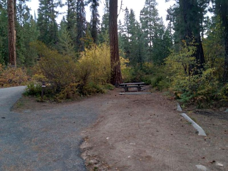
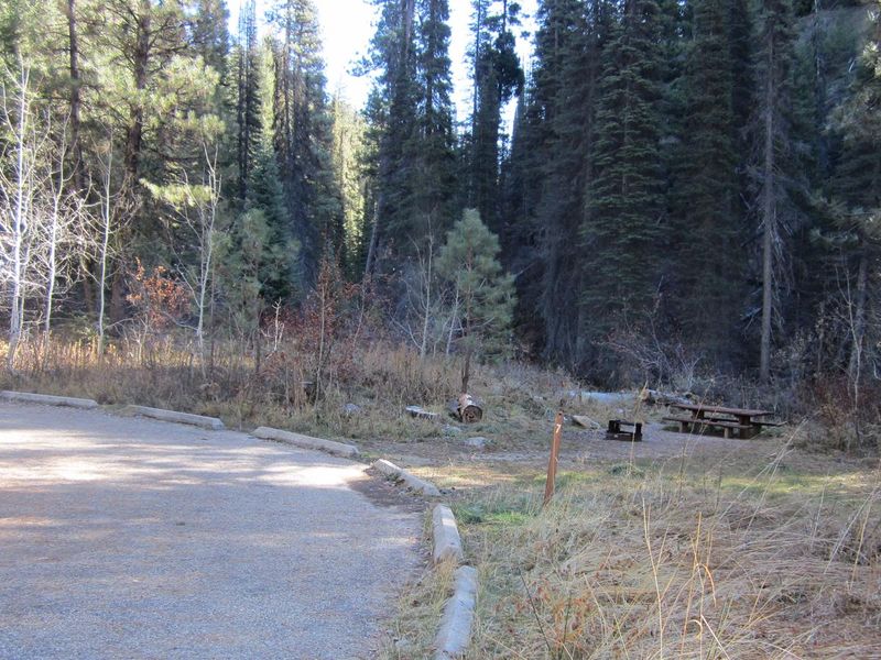
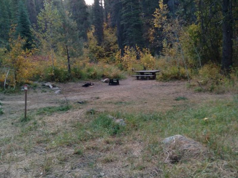
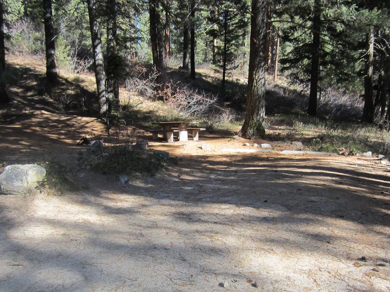
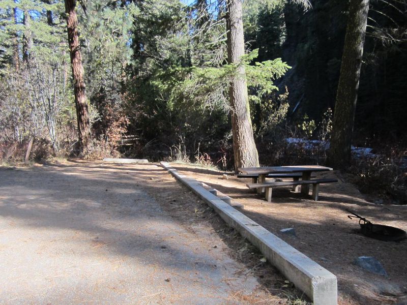
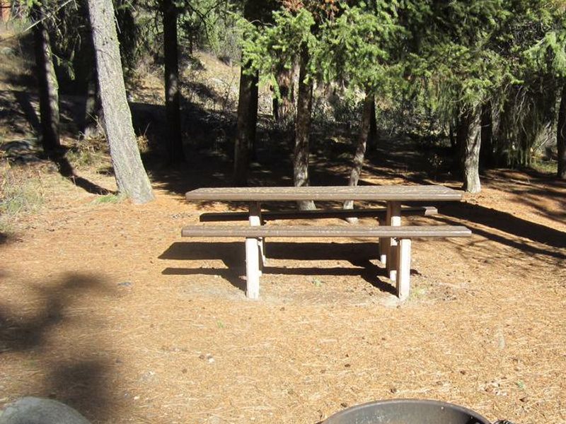
Ten Mile Site 4

Ten Mile Campground

Closed

Currently closed for the season. Opens May 22, 2026 for first-come-first-served camping; reservations available starting May 24. Season runs mid-May through mid-October.

Flash Flood Warning issued September 18 at 5:21PM MDT until September 18 at 8:15PM MDT by NWS Boise ID

5:21 PM — 8:15 PM

FFWBOI The National Weather Service in Boise has issued a * Flash Flood Warning for... The Wapiti Burn Area in... Northeastern Boise County in southwestern Idaho... * Until 815 PM MDT. * At 521 PM MDT, emergency management reported thunderstorms producing heavy rain over the Wapiti Burn Area. The expected rainfall rate is 0.25 inches in 1 hour. Additional rainfall amounts up to 0.5 inches are possible in the warned area. Flash flooding is ongoing or expected to begin shortly. Excessive rainfall over the burn scar will result in debris flow. The debris flow can consist of rock, mud, vegetation and other loose materials. HAZARD...Life threatening flash flooding. Thunderstorms producing flash flooding in and around the Wapiti Burn Area. SOURCE...Emergency management reported debris on Idaho State Highway 21 between mileposts 103 and 105. IMPACT...Life threatening flash flooding of areas in and around the Wapiti Burn Area. * Some locations that will experience flash flooding include... Warm Springs Guard Station.

Flash Flood Watch issued September 18 at 10:50AM MDT until September 19 at 12:00AM MDT by NWS Boise ID

10:50 AM — September 19th, 12:00 AM

* WHAT...Flash flooding and debris flows caused by excessive rainfall are possible over the Wapiti, Crooked, Buckhorn burn scar areas. * WHERE...Portions of south central and southwest Idaho, including the following areas, in south central Idaho, Western Magic Valley. In southwest Idaho, Boise Mountains, Camas Prairie, Lower Treasure Valley, Upper Treasure Valley and West Central Mountains. * WHEN...Through this evening. * IMPACTS...Heavy rainfall over the Wapiti, Crooked, Buckhorn burn scar is expected up to and during the period of the watch. Residents near the Wapiti, Crooked, Buckhorn burn scar should prepare for potential debris flow. Be sure to stay up to date with information from local authorities. Heavy rainfall could trigger flash flooding or debris flows in and near recent wildfire burn scars. * ADDITIONAL DETAILS... - National Weather Service Meteorologists are forecasting heavy rainfall over the burn scar, which may lead to flash flooding and debris flows. - Some locations that may experience flash flooding include... Idaho City, Fairfield, Lowman, Horseshoe Bend, Pine, Prairie, Atlanta, Anderson Dam, Corral, Centerville, Pioneerville, Garden Valley, Banks, Gardena, Crouch, Placerville, Trinity Lakes, Rocky Bar, Dutch Creek Guard Station and Featherville. - https://www.weather.gov/safety/flood

Boise National Forest

Weed Free Hay Order 04-2021-03

Prohibited by this order: Possessing, storing, or transporting non-pelletized hay, straw, or mulch in the Intermountain Region, unless it is certified as weed free by the state where the product originated.

About

Ten Mile Campground is a 15-site Forest Service campground located about 10 miles north of historic Idaho City along State Highway 21 in the Boise National Forest. The campground is divided into Upper and Lower loops on opposite sides of the highway, surrounded by beautiful old-growth ponderosa pine forest. Wildflowers abound during summer months. Several sites (1, 2, 3, 5, 6, 7, 12, 13, 14, 15) have direct access to Mores Creek, offering fishing opportunities. Site 6 is designated tent-only with no trailer access. Sites 1, 8, 9, 10, and 15 are adjacent to Highway 21 and may experience road noise. The campground has vault toilets, hand-pump potable water, fire rings, and picnic tables at each site. This is a pack-in/pack-out campground with no trash service. The surrounding area provides excellent opportunities for hiking, mountain biking, horseback riding, and OHV riding. In winter, the area transforms into a playground for cross-country skiing and snowmobiling.

Directions

From Idaho City, travel State Highway 21 north for about 10 miles to the campground. There are signed entrances on the left and right sides of the road, as this campground is divided on either side of the highway.

Amenities

Water Yes
Fires Allowed Yes
Toilets Yes
Dump Station No
Wifi No
Pets Allowed Yes
Showers No
Electric Hookups
Water Hookups
Sewer Hookups
Camp Store No
Price $20

Vehicle

Max RV Length 34ft
Max Trailer Length 45ft
Big Rig Friendly No
Pull Through Sites No

Contact

Phone +1 (208) 392-6681

Cell Service

AT&T None
Verizon None
T-Mobile None

Availability

Photos
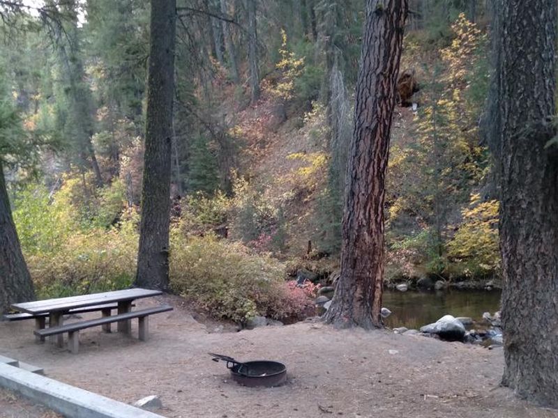
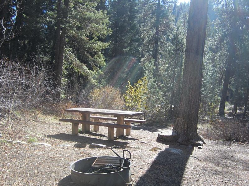
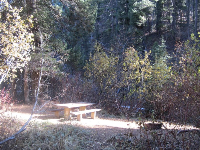
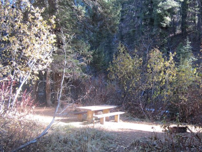
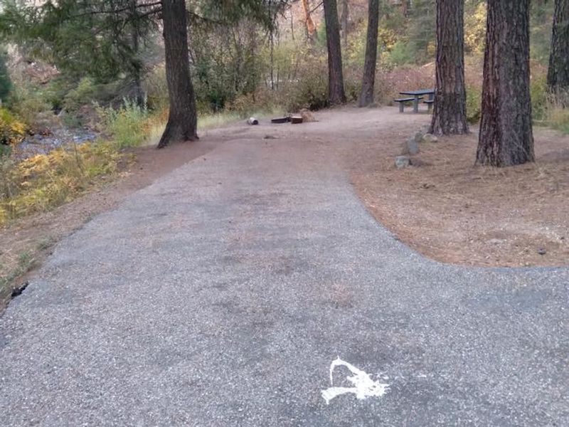
Ten Mile Site 4
Ten Mile Site 7 is on a roundabout, with ample parking.
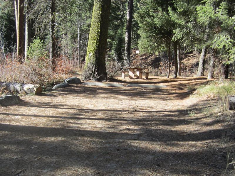
Ten Mile Site 7 is in a large flat clearing.
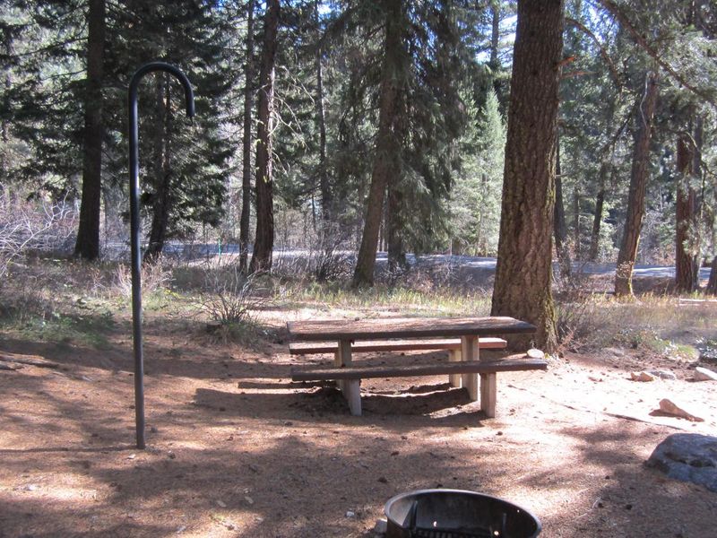
Ten Mile Site 10 is partially shaded.
Ten Mile Site 11.
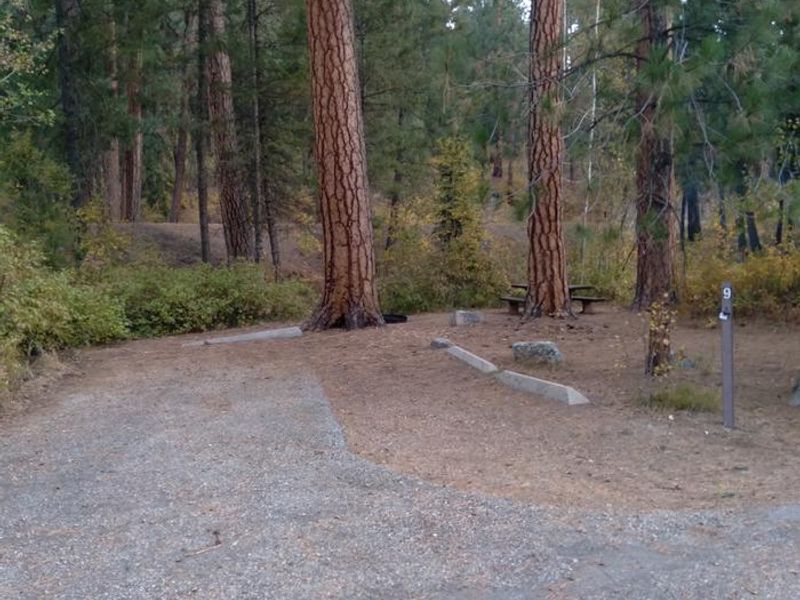
Ten Mile Site 9
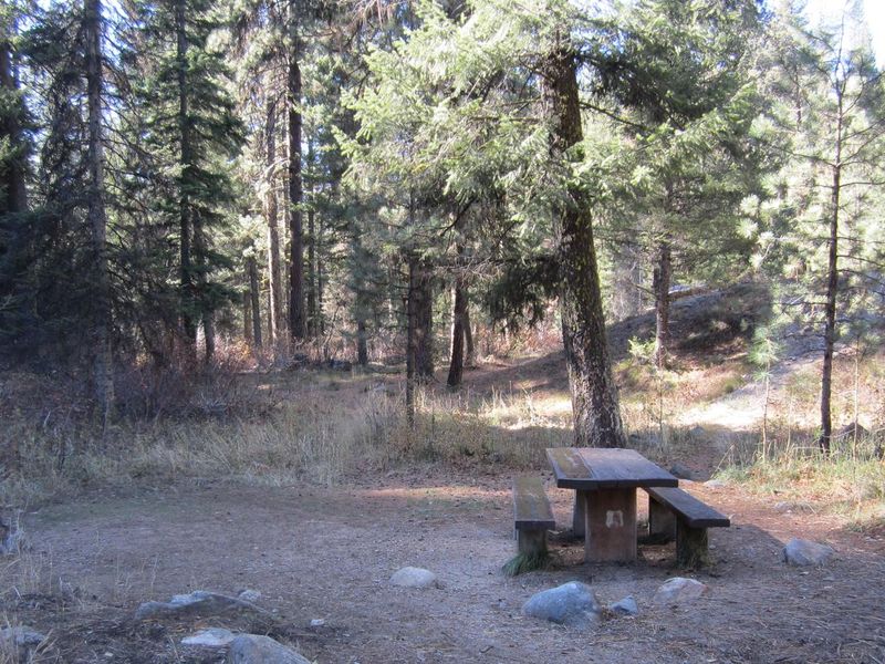
Ten Mile Site 6 is surrounded by forest.
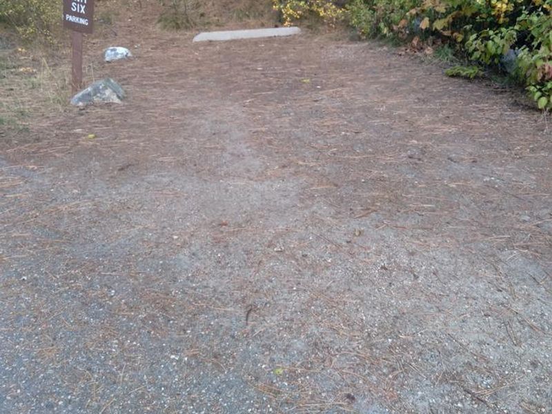
The parking spot for Ten Mile Site 6 is across the path from the campsite itself.
Ten Mile Site 2
Ten Mile site 8
Ten Mile Site 14
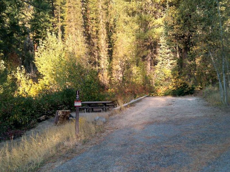
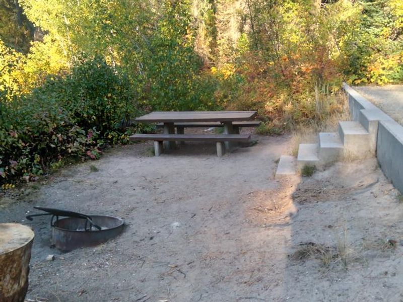
The driveway for Site 13 is above a short set of stairs.
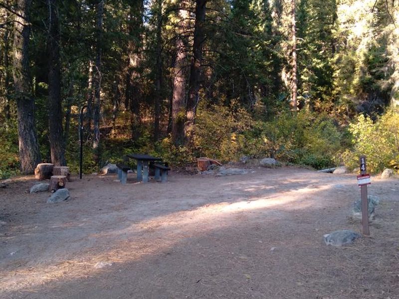
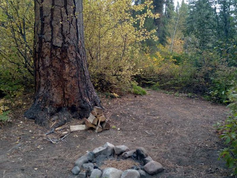
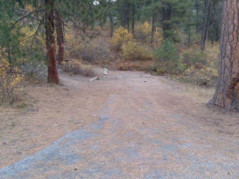
Ten Mile Site 4 has a rock ring as of Sept. 2021.
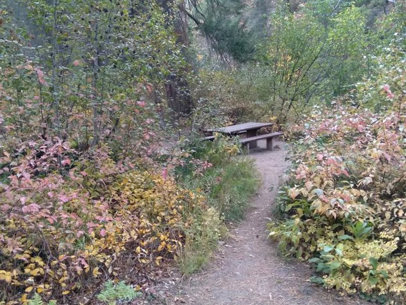
Ten Mile Site 3 is tucked away down a short path.
Some of the campsites at Ten Mile are tucked away in the greenery.
Ten Mile Site 1 driveway
Ten Mile Site 3 is down a short path.
A side view of the four stairs in Site 13.
Ten Mile Site 10 is spacious and shady, but close to Highway 21.
Ten Mile Site 2 has spacious parking and immediate stream access!
Ten Mile Site 8
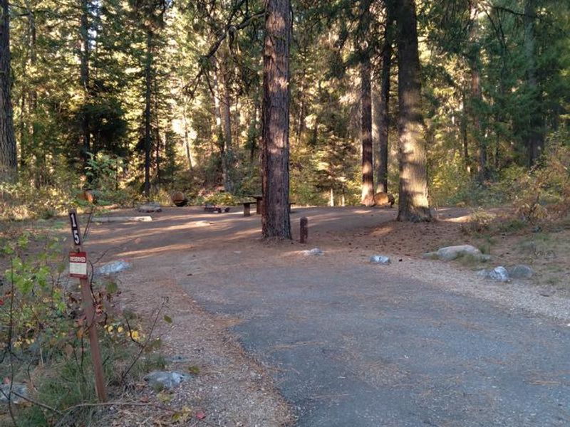
Ten Mile Site 15
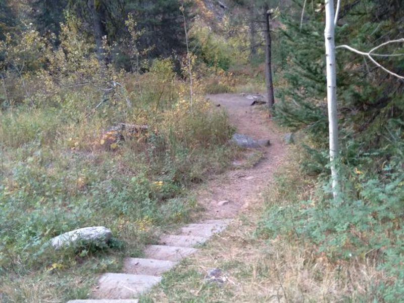
Ten Mile Site 6 has a small path with shallow stairs that leads to the camping area.
Ten Mile Site 11.
Ten Mile campground has convenient camping off Hwy 21, with proximity to Ten Mile Creek.
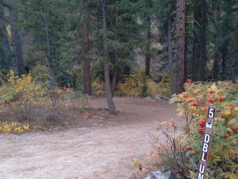
Ten Mile Site 5 is a double site.

Community Posts

No posts yet. Be the first to share your experience!