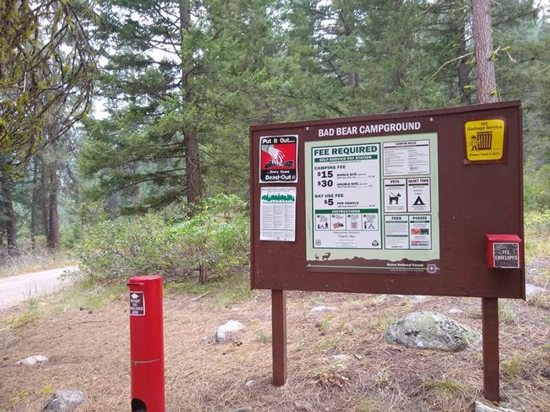
Bad Bear Campground
The campground opens around May 22 for the 2026 season and operates through mid-October. Water is currently unavailable due to a faulty well; campers must bring their own water. Sites are available both through Recreation.gov reservations and first-come, first-served.
Flash Flood Watch issued July 22 at 2:37PM MDT until July 22 at 9:00PM MDT by NWS Boise ID
* WHAT...Flash flooding and debris flows caused by excessive rainfall continue to be possible over the Wapiti Burn Area. * WHERE...A portion of southwest Idaho, including the following area, Boise Mountains. * WHEN...Until 9 PM MDT this evening. * IMPACTS...Heavy rainfall over the Wapiti Burn Area is expected up to and during the period of the watch. Residents near the Wapiti Burn Area should prepare for potential flooding impacts. Be sure to stay up to date with information from local authorities. Heavy rainfall could trigger flash flooding or debris flows in and near recent wildfire burn scars. * ADDITIONAL DETAILS... - Heavy rainfall is expected over the Wapiti Burn Area, which may lead to flash flooding and debris flows. - https://www.weather.gov/safety/flood
From Recreation.gov
Bad Bear Campground will no longer have water due to faulty well. For any questions please contact Idaho City Recreation Manager @ 208-392-3732.
Weed Free Hay Order 04-2021-03
Prohibited by this order: Possessing, storing, or transporting non-pelletized hay, straw, or mulch in the Intermountain Region, unless it is certified as weed free by the state where the product originated.
About
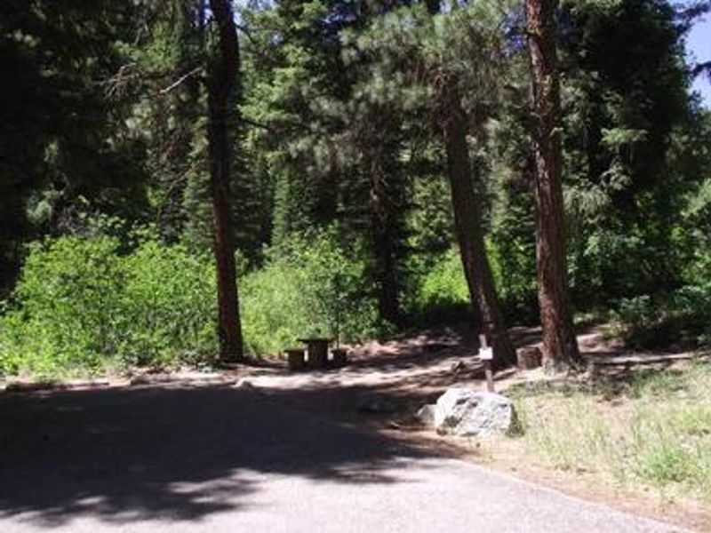
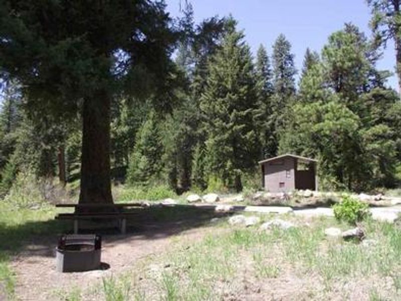
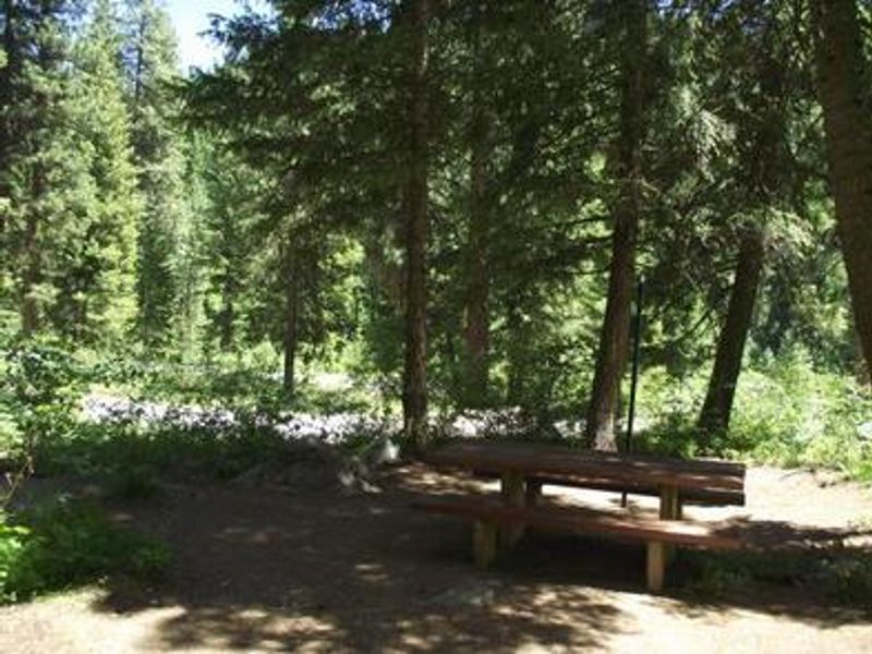
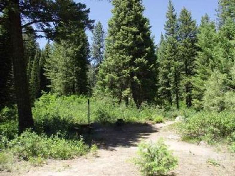
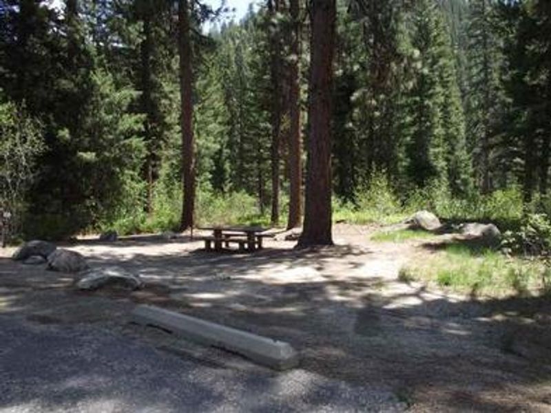
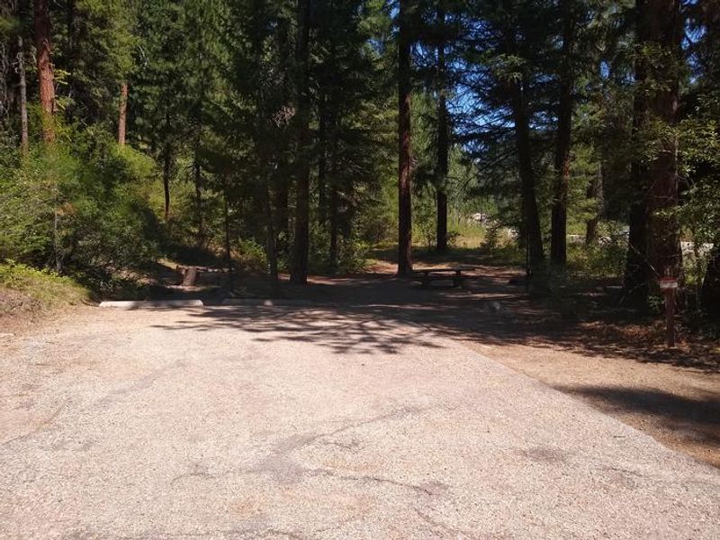
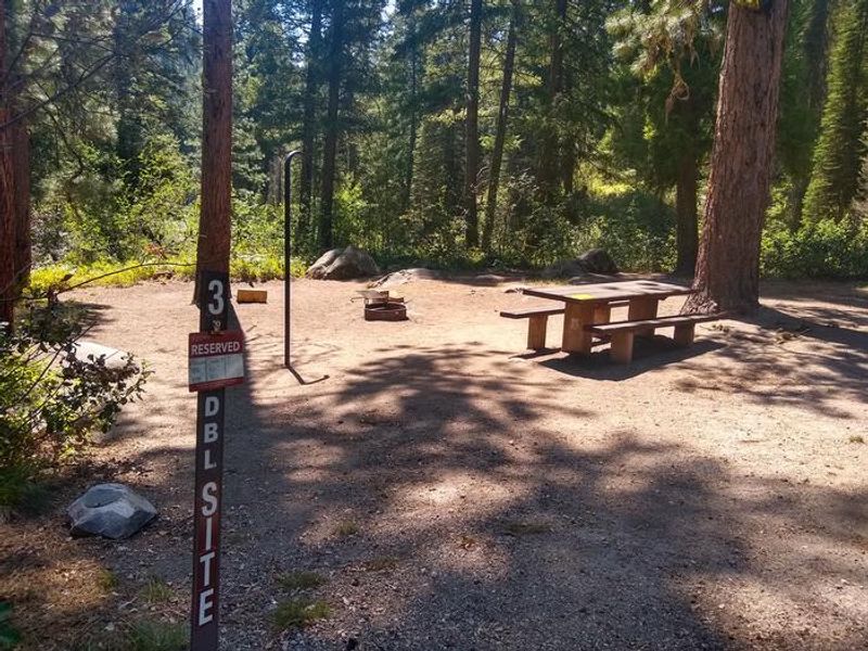
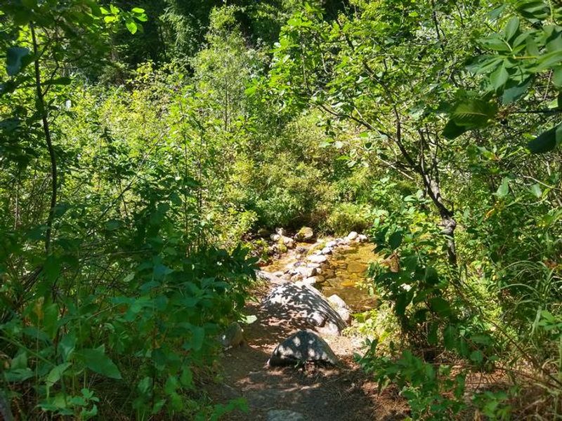
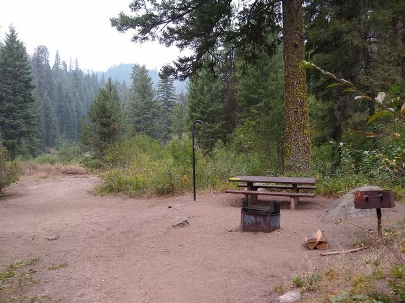
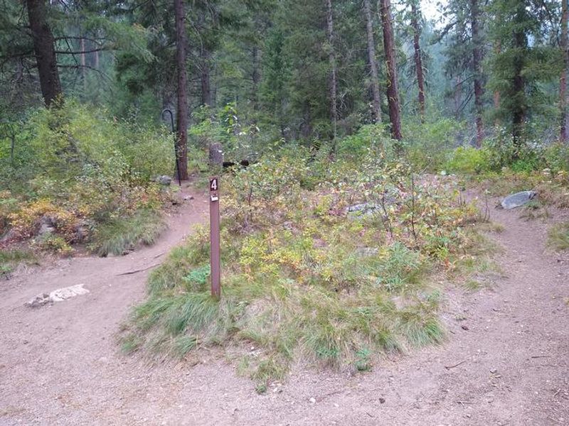
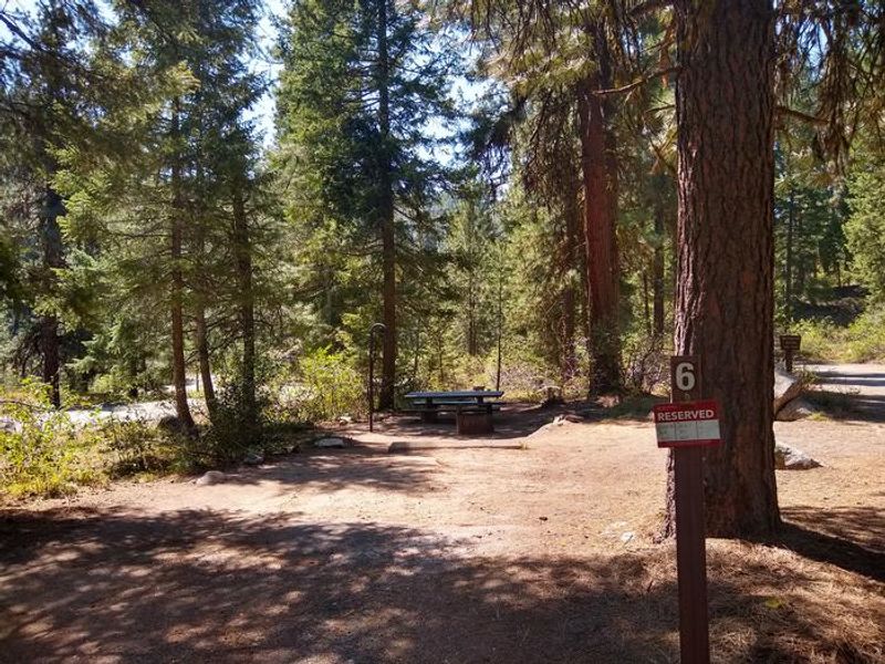
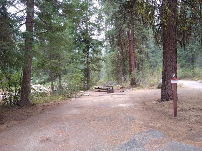
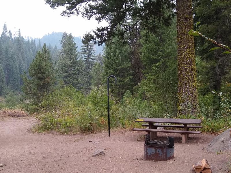
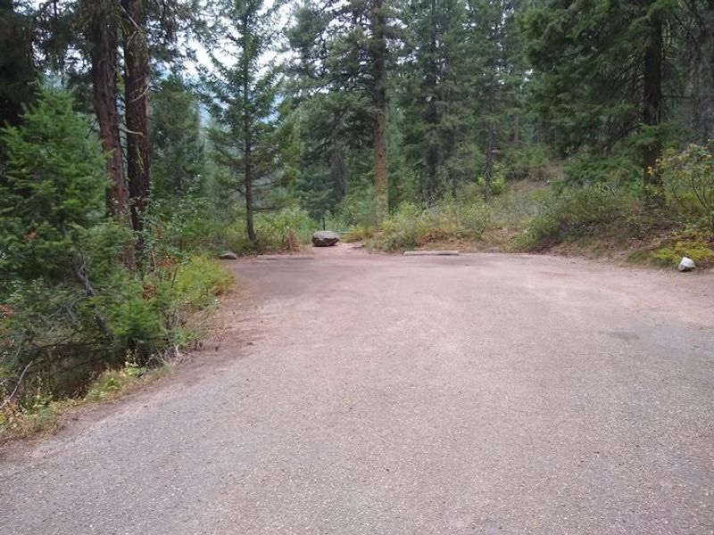
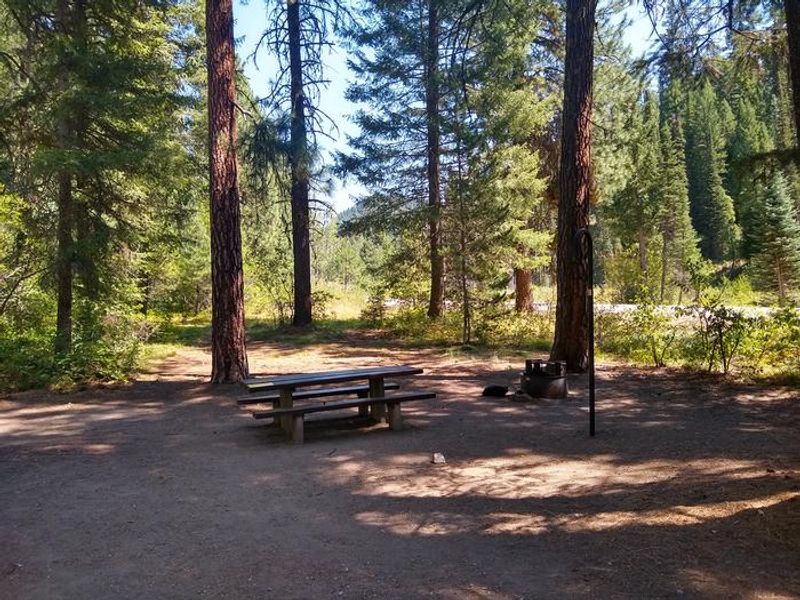
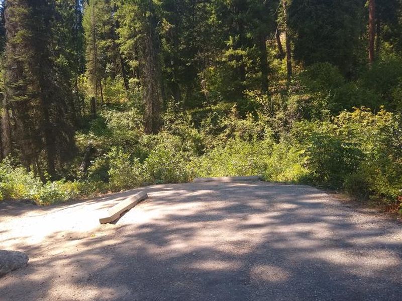
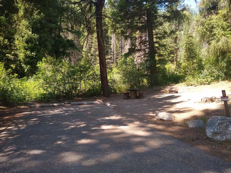
Bad Bear Campground is located 48 miles northeast of Boise, Idaho, in the Boise National Forest at an elevation of 5,100 feet. The campground sits in a scenic Ponderosa pine forest along Highway 21, also known as the Ponderosa Pine Scenic Byway. Mores Creek runs adjacent to the site, offering whitefish and rainbow trout fishing opportunities. The campground has 6 sites: 4 standard nonelectric sites and 2 tent-only sites. Each site includes a picnic table, BBQ grill, and fire ring with benches. Paved parking spurs are provided. Vault toilets are available. Historic Idaho City is approximately 10 miles south. Numerous trails in the surrounding area offer hiking, biking, horseback riding, and ATV access. In winter, the area serves backcountry skiers and snowmobilers. Note that horses and pack animals are not permitted in the campground.
Directions
From the Idaho City Ranger Station, drive north on Highway 21 for almost 10 miles, then turn left at the sign for Bad Bear Campground. Located at milepost 48, just beyond Ten Mile Campground.
Amenities
| Water | No |
| Fires Allowed | Yes |
| Toilets | Yes |
| Dump Station | — |
| Wifi | No |
| Pets Allowed | — |
| Showers | No |
| Electric Hookups | — |
| Water Hookups | — |
| Sewer Hookups | — |
| Camp Store | — |
| Price | $20 |
Vehicle
| Max RV Length | 40ft |
| Max Trailer Length | 40ft |
| Big Rig Friendly | No |
| Pull Through Sites | No |
Contact
| mimpson@fs.fed.us | |
| Phone | +1 (208) 392-6681 |
Cell Service
| AT&T | None |
| Verizon | None |
| T-Mobile | None |
Availability
Photos

Community Posts
No posts yet. Be the first to share your experience!