Pine Flats
Currently closed for the season. Opens May 19 and operates through September 30. Reservations available via Recreation.gov; some sites available first-come, first-served.
Weed Free Hay Order 04-2021-03
Prohibited by this order: Possessing, storing, or transporting non-pelletized hay, straw, or mulch in the Intermountain Region, unless it is certified as weed free by the state where the product originated.
Fireworks and Spark Arrestor Order 04-2021-01
Prohibited by this order: Possessing, discharging, or using any kind of firework or other pyrotechnic device. 36 CFR §261.52(t)Operating or using any internal or external combustion engine without a spark arresting device properly installed, maintained and in effective working order as described…
Explosives and Exploding Target Order 04-2021-02
This order prohibits the use of explosives and exploding targets on National Forest System lands within the Intermountain Region.
About
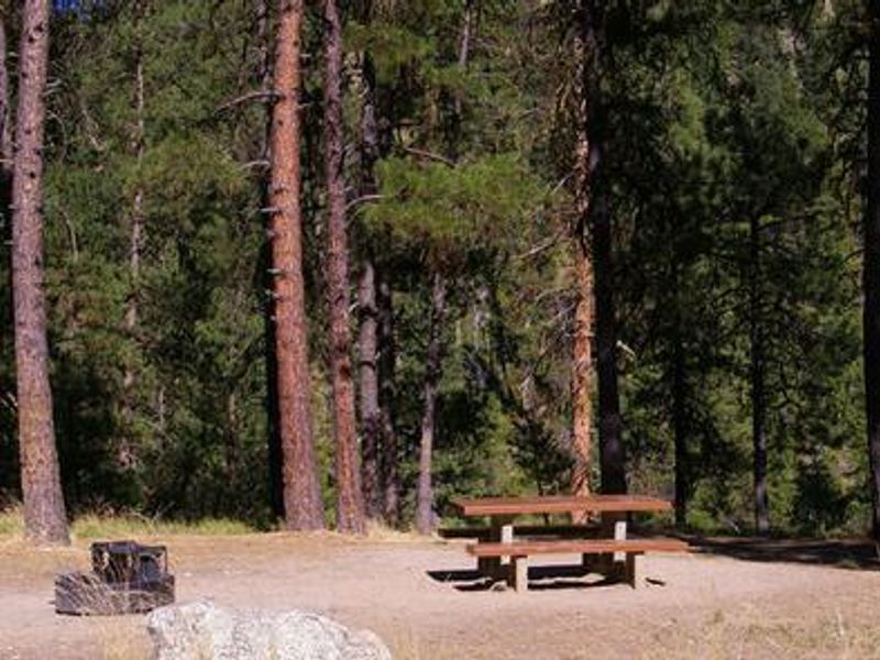
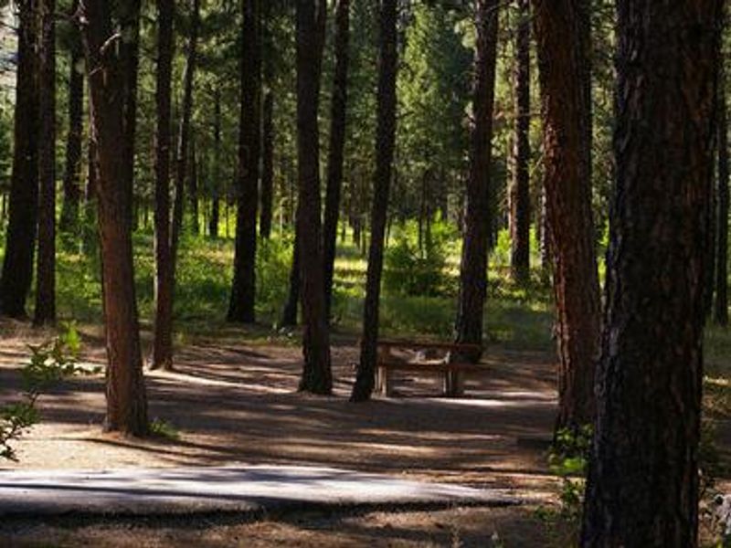
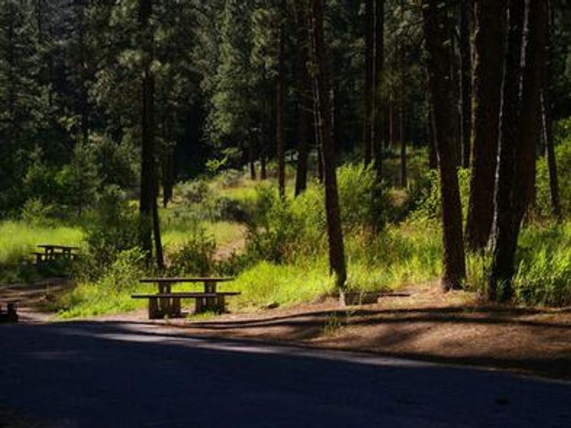
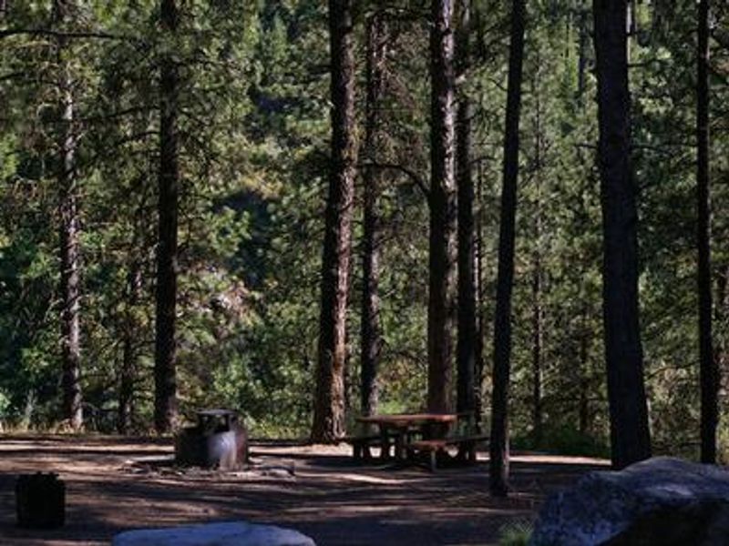
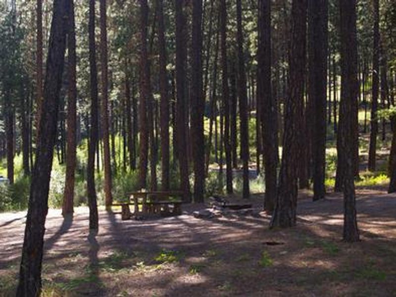
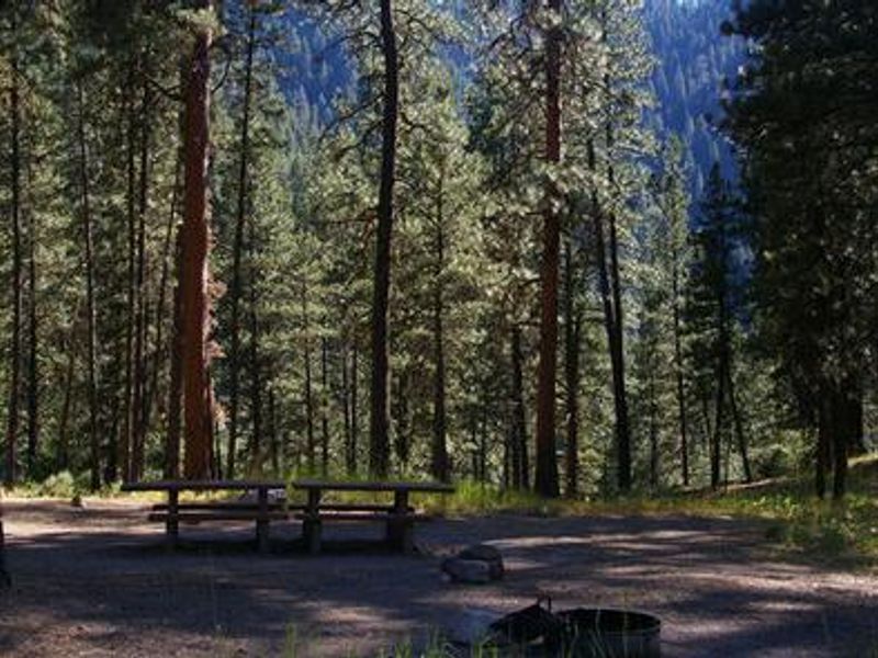
Pine Flats Campground occupies a scenic stretch of the Banks-Lowman Highway (Wildlife Canyon Scenic Byway) in Idaho's Boise National Forest. At 3,700 feet elevation, the campground provides direct access to the South Fork Payette River, known for its whitewater rafting, kayaking, and trout fishing. A quarter-mile nature trail from the campground leads to a natural hot springs soaking pool right at the river's edge. The campground features 24 single and double-family sites shaded by towering Ponderosa pines. Each site includes a picnic table and campfire ring with grill. Roads, parking spurs, and some campsite pads are paved, making most sites accessible. Vault toilets, potable drinking water, and trash collection are provided. No hookups are available. The surrounding area along the Banks-Lowman Highway offers numerous natural hot springs pools, wildlife viewing, and trail opportunities. The Danskin River Access area is 5 miles west. Several outfitters in the area provide guided half and full-day whitewater trips on the South Fork and Main Payette Rivers.
Directions
From Boise, Idaho, take Highway 55 to Banks. Turn east and travel on the Banks-Lowman Highway for 28 miles to the campground.
Location
Amenities
| Water | Yes |
| Fires Allowed | Yes |
| Toilets | Yes |
| Dump Station | No |
| Wifi | No |
| Pets Allowed | — |
| Showers | No |
| Electric Hookups | — |
| Water Hookups | — |
| Sewer Hookups | — |
| Camp Store | No |
| Price | $40 |
Vehicle
| Max RV Length | 130ft |
| Max Trailer Length | 130ft |
| Big Rig Friendly | — |
| Pull Through Sites | No |
Contact
| Phone | +1 (208) 259-3361 |
Cell Service
| AT&T | None |
| Verizon | None |
| T-Mobile | None |
Availability
Photos
Community Posts
No posts yet. Be the first to share your experience!