Black Rock
Currently closed for the season. The campground typically operates mid-May through mid-October and is accessible until closed by snow. Reservations available through Recreation.gov for select sites; remaining sites are first-come, first-served.
Weed Free Hay Order 04-2021-03
Prohibited by this order: Possessing, storing, or transporting non-pelletized hay, straw, or mulch in the Intermountain Region, unless it is certified as weed free by the state where the product originated.
Fireworks and Spark Arrestor Order 04-2021-01
Prohibited by this order: Possessing, discharging, or using any kind of firework or other pyrotechnic device. 36 CFR §261.52(t)Operating or using any internal or external combustion engine without a spark arresting device properly installed, maintained and in effective working order as described…
Explosives and Exploding Target Order 04-2021-02
This order prohibits the use of explosives and exploding targets on National Forest System lands within the Intermountain Region.
About
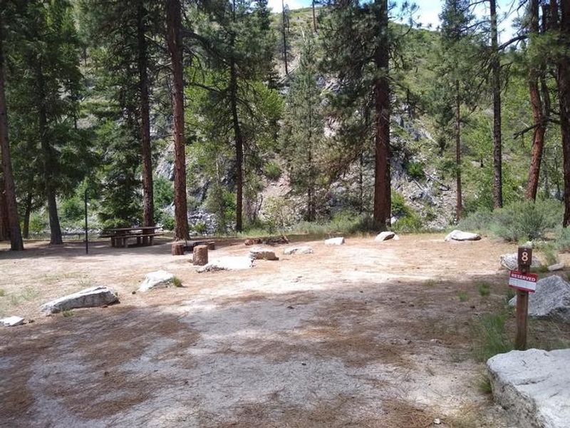
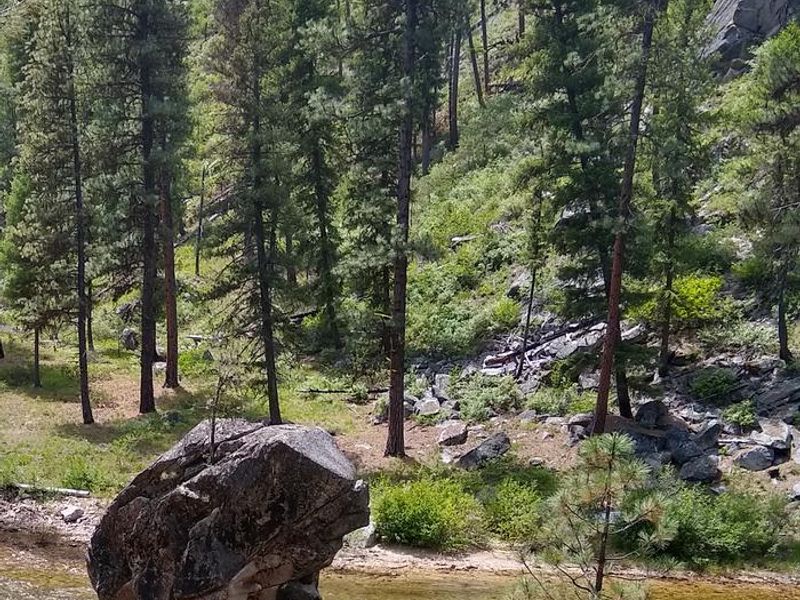
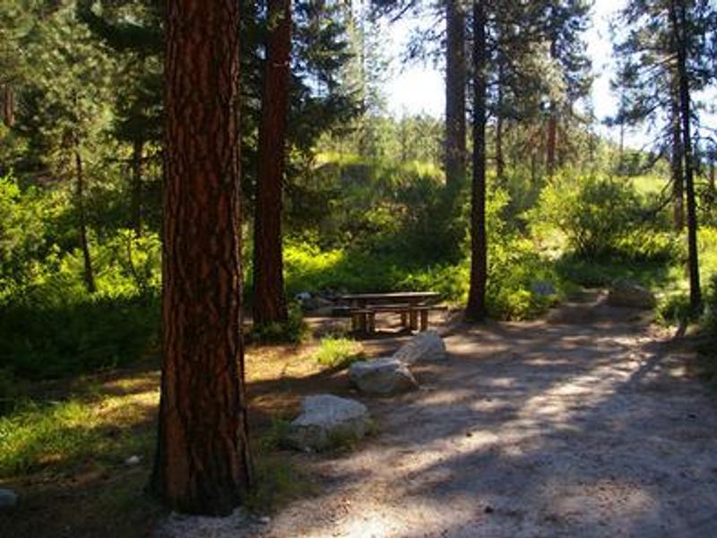
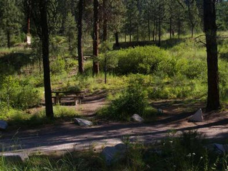
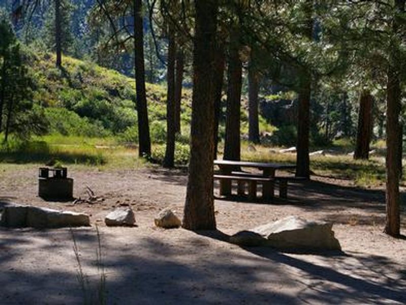
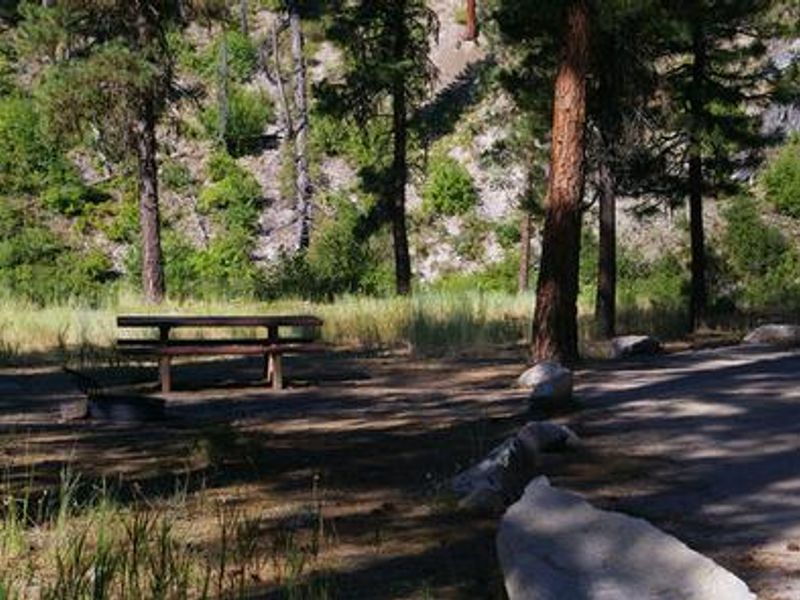
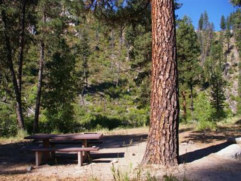
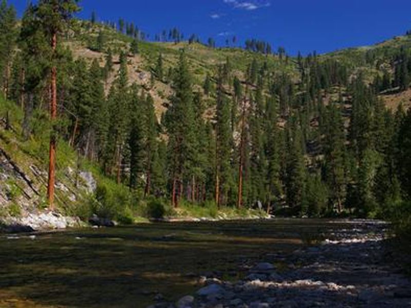
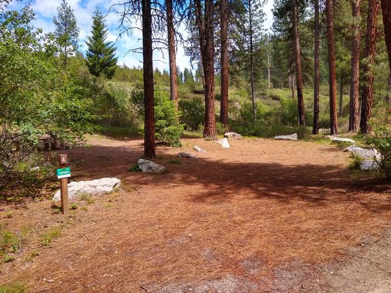
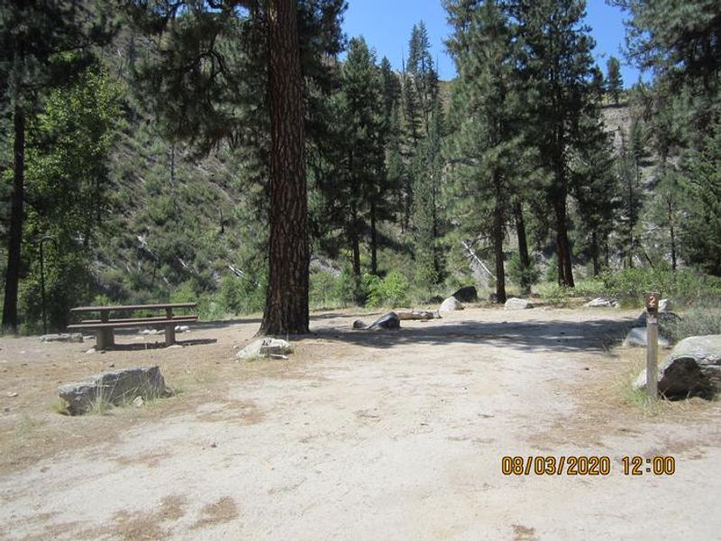
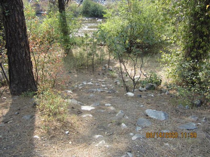
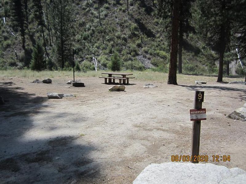
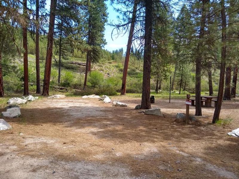
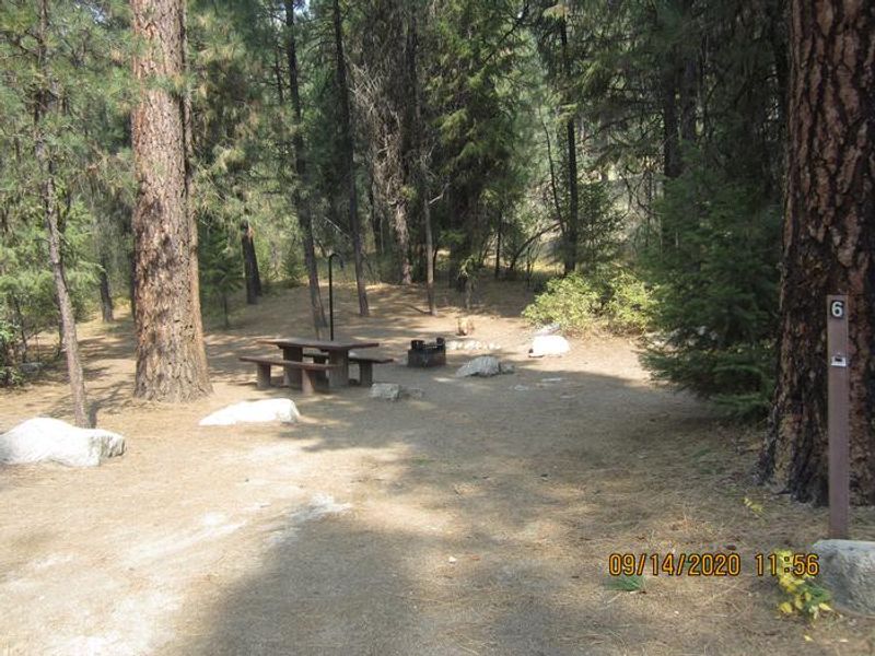
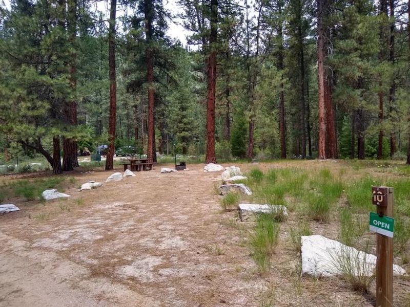
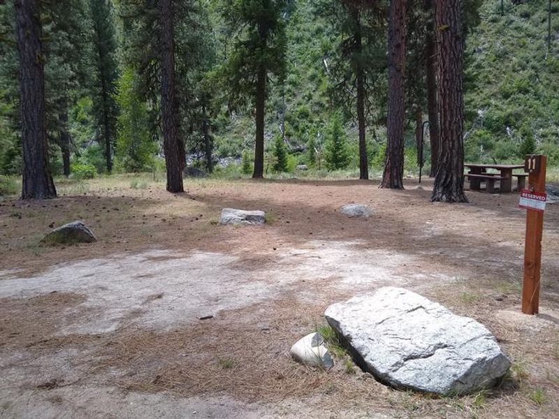
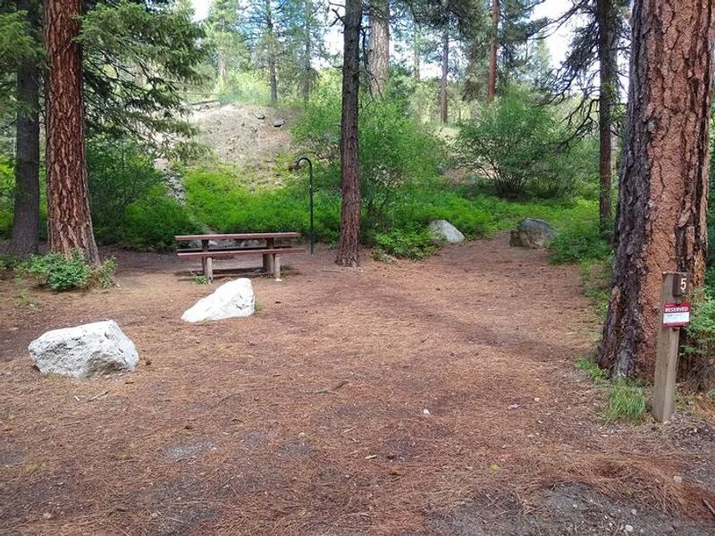
Black Rock Campground is a small, scenic campground located on the banks of the North Fork Boise River in Boise National Forest. Situated at 4,300 feet elevation approximately 20 miles from Idaho City, the campground provides access to excellent fishing for rainbow trout and numerous swimming holes along the river. The area is shaded by towering ponderosa pines, though sites offer limited privacy from neighboring campers. The campground has 11 single campsites, with a mix of reservable sites through Recreation.gov and first-come, first-served options. Each site is equipped with a picnic table and fire ring, and some sites include grills. Sites 1, 2, 7, 8, 9, and 11 have direct creek access. Potable drinking water is available from a hand pump that is tested monthly, and vault toilets are provided. Campers must pack out all trash. The surrounding area offers numerous trail opportunities for hiking, mountain biking, horseback riding, and dirt biking. Access is via Forest Service Road 327, an 18-mile dirt road that is only graded a couple times per year. Cell service is not available at the campground; the nearest coverage is in Idaho City.
Directions
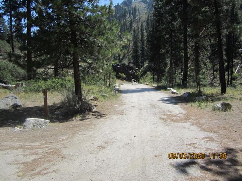
From Idaho City, travel north on State Highway 21 for about 2 miles to Forest Service Road 327 (Granite Creek/Rabbit Creek Road). Turn right and travel east for 18 miles on FS Road 327 to the campground. Note: FS Road 327 is a dirt road that is only graded a couple times per year; expect rough conditions.
Amenities
| Water | Yes |
| Fires Allowed | Yes |
| Toilets | Yes |
| Dump Station | No |
| Wifi | No |
| Pets Allowed | Yes |
| Showers | No |
| Electric Hookups | — |
| Water Hookups | — |
| Sewer Hookups | — |
| Camp Store | No |
| Price | $20 |
Vehicle
| Max RV Length | 45ft |
| Max Trailer Length | 45ft |
| Big Rig Friendly | — |
| Pull Through Sites | No |
Contact
| Phone | +1 (208) 392-3700 |
Cell Service
| AT&T | None |
| Verizon | None |
| T-Mobile | None |
Availability
Photos
Community Posts
No posts yet. Be the first to share your experience!