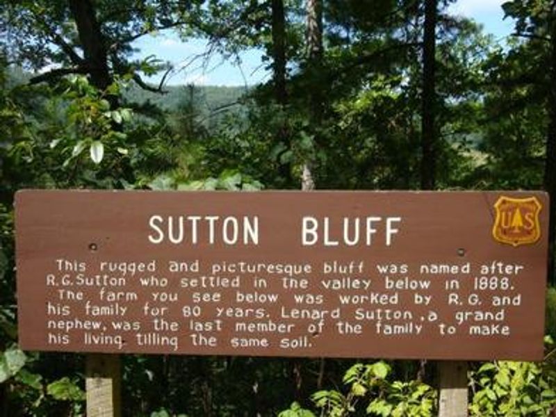
Sutton Bluff Recreation Area
Open for the 2026 season from April 2 through October 26. Reservations available through Recreation.gov up to 6 months in advance with a 5-day minimum. First-come, first-served sites also available. Day use hours 6 AM to 10 PM; quiet hours 10 PM to 6 AM.
Forest Closure - Bridge Replacement at Paddy Creek
Paddy Creek Recreation Area, National Forest System Road 211, Big Piney Trailhead Spur Trail (03-016-D), Paddy Creek Trail Loop (Trail 03-016-C), and a section of the Big Piney Trail (03-016-A) will be closed from December 1, 2026 until December 31, 2027 while a bank on the creek is restabilized…
Forest Order - Trail 119 Closure Extended (Chadwick Motorized Trail System)
The closure of Trail 119 of the Chadwick Motorized Trail System has been extended due to delays with the culvert replacement. This order supersedes the previous order. The closure of Trail 119 begins on Trail 101 about halfway between KC Pavilion Trailhead and Cobb Ridge Campground and extends…
Beaver Lake Temporary Closure
Beaver Lake, located within the Poplar Bluff Ranger District, will be temporarily closed to facilitate dam repair work.
About
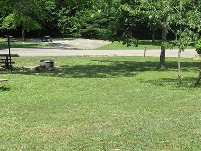
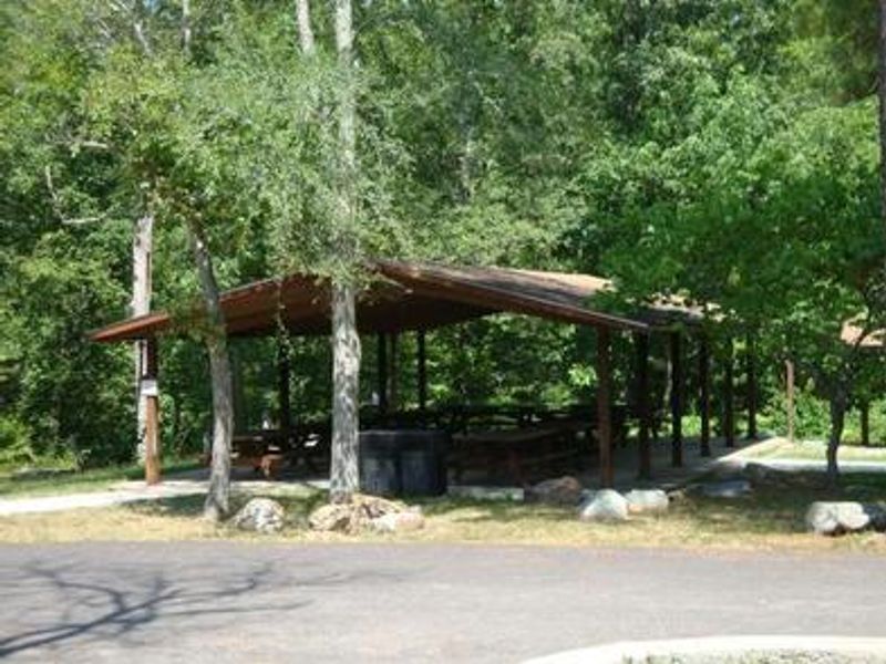
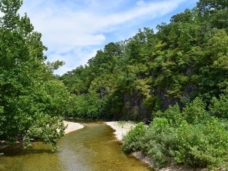
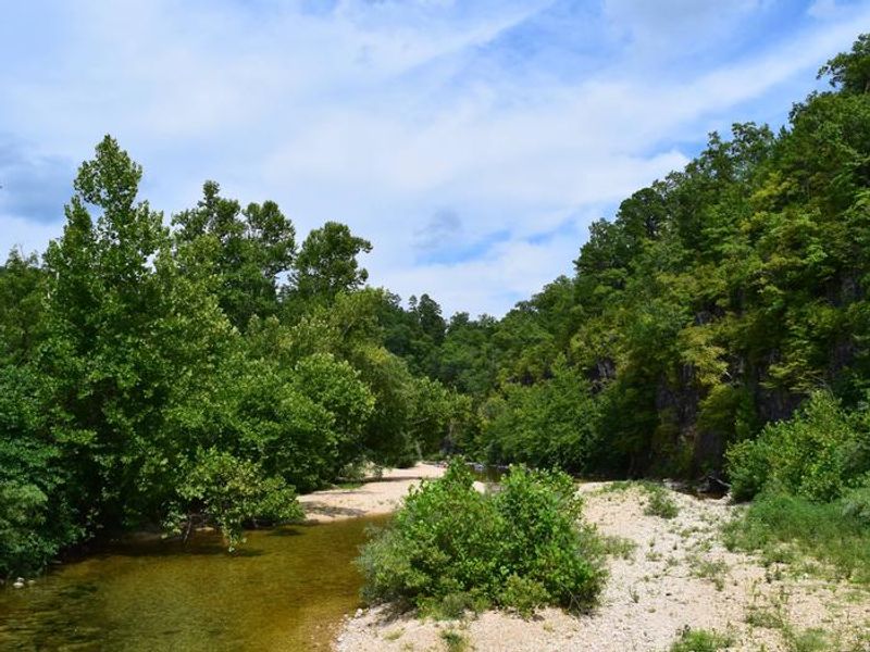
Sutton Bluff Recreation Area is nestled among short-leaf pines and hardwoods along the West Fork of the Black River, about 13 miles northeast of Centerville, Missouri. The campground offers 24 electric sites and 37 non-electric sites, plus a group site accommodating up to 50 people. Each site includes a picnic table, fire ring with grill, and lantern post. Facilities include both flush and vault toilets, hot showers, and pressurized potable water. The campground is a hub for off-road enthusiasts, providing direct access to the 45-mile Sutton Bluff ATV, UTV, and Motorcycle Trail System. Permits are required for OHV use. Hikers and mountain bikers can reach the Karkaghne section of the Ozark Trail from a trailhead less than a mile away. The West Fork of Black River offers a natural gravel beach for wading and fishing for bass and bluegill. The current is too gentle for floating but provides a peaceful setting. Most sites accommodate RV and trailer combinations up to 50 feet, though sites 29, 32, and 33 have shorter parking spurs.
Directions
From Centerville, Missouri, travel 3 miles northeast on Highway 21. Turn left onto County Road 907 and travel northwest for 7 miles, then turn left on County Road 849 and travel south for 3 miles to the campground.
Nearby Campgrounds
Amenities
| Water | Yes |
| Fires Allowed | Yes |
| Toilets | Yes |
| Dump Station | — |
| Wifi | — |
| Pets Allowed | Yes |
| Showers | Yes |
| Electric Hookups | Yes |
| Water Hookups | No |
| Sewer Hookups | No |
| Camp Store | — |
| Price | $10 - $40 |
Vehicle
| Max RV Length | 76ft |
| Max Trailer Length | 76ft |
| Big Rig Friendly | Yes |
| Pull Through Sites | No |
Contact
| Phone | +1 (573) 648-9255 |
Cell Service
| AT&T | None |
| Verizon | None |
| T-Mobile | None |
Availability
Photos
Community Posts
No posts yet. Be the first to share your experience!