Council Bluff Recreation Area
Open for the 2026 season from April 23 through October 26. The water system at Wild Boar Ridge Campground is currently out of service. Potable water and coin-operated showers are available at Chapel Hill Beach, which opens May 21. Some sites are reservable via Recreation.gov; others are first-come, first-served. Drinking water is not available in the campground from November 1 to April 1. Chapel Hill Beach is closed Mondays except holiday weekends.
Heat Advisory issued July 21 at 2:48PM CDT until July 21 at 7:00PM CDT by NWS St Louis MO
* WHAT...Heat index values up to 107. * WHERE...Portions of south central and southwest Illinois and central, east central, and southeast Missouri. * WHEN...Until 7 PM CDT this evening. * IMPACTS...Hot temperatures and high humidity may cause heat illnesses.
About
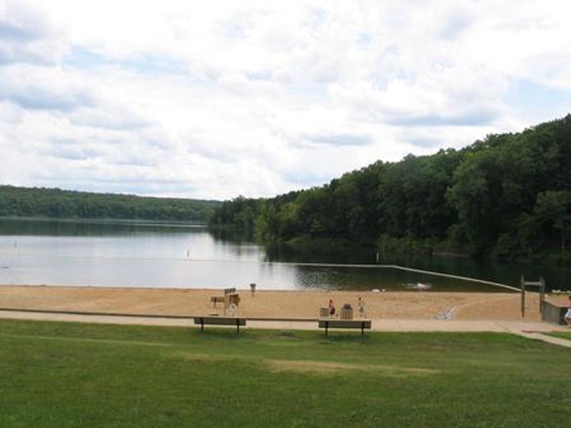
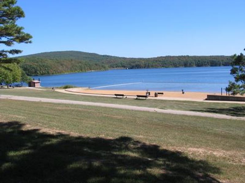
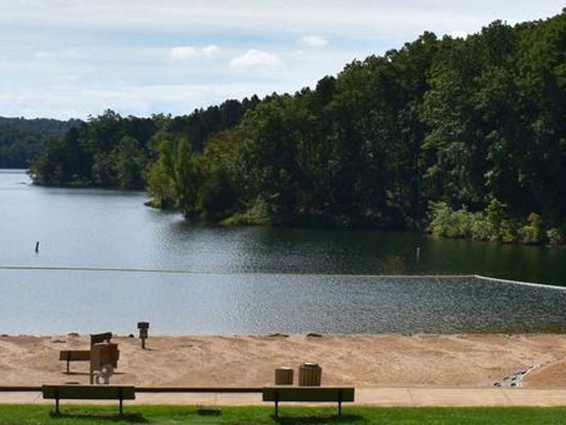
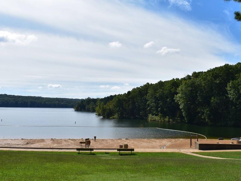
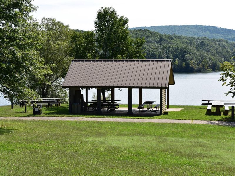
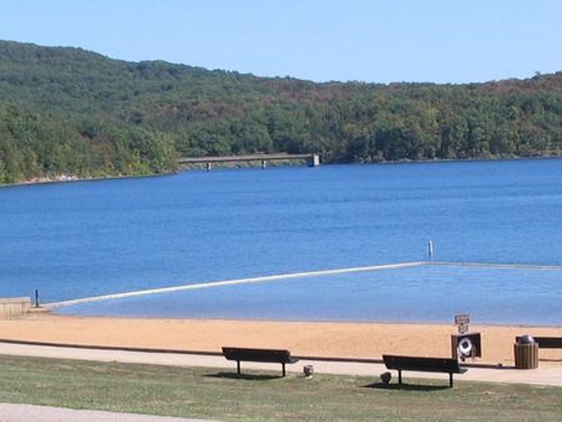
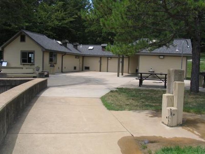
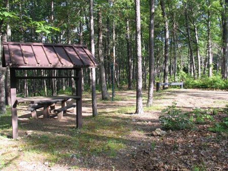
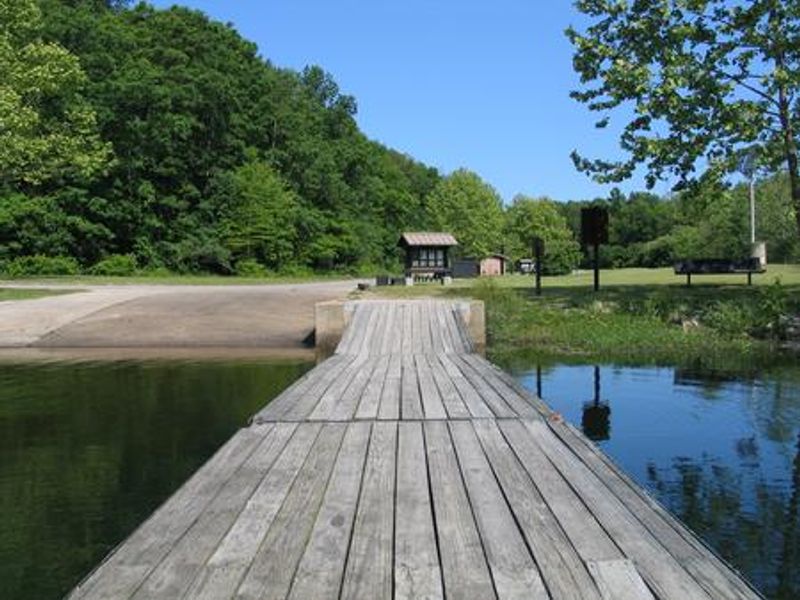
Council Bluff Recreation Area is located beside Council Bluff Lake, a 440-acre impoundment created by damming Big River. At 87 feet deep in places, it's the largest lake on the Mark Twain National Forest. Wild Boar Ridge Campground offers a mix of single sites, double sites, walk-in tent sites, and large group sites that can accommodate up to 50 people. A picnic pavilion with a paved surface and roof can hold up to 75 people. Each campsite is equipped with a picnic table, fire ring or campfire circle with grill, and lantern post. Sites are screened by trees and brush for privacy. Most sites accommodate RVs up to 40 feet, though there are no electric hookups. Vault toilets and drinking water are provided at the campground, with flush toilets and coin-operated hot showers available at Chapel Hill Beach. The 12-mile Council Bluff Trail encircles the lake with spurs leading to the campground, offering scenic views of the lake and surrounding Mark Twain wilderness. The lake is popular for boating at no-wake speed, canoeing, swimming, and fishing for bass, bluegill, catfish, and crappie. Chapel Hill Beach provides 54,000 square feet of sandy beach. Waterfowl hunting is permitted on the lake.
Directions
From Potosi, drive south 10 miles on Highway 21. Turn right on C Highway and continue approximately 6 miles. Turn left on Highway DD and continue approximately 8 miles to the recreation area entrance.
Nearby Campgrounds
Location
Amenities
| Water | Yes |
| Fires Allowed | Yes |
| Toilets | Yes |
| Dump Station | — |
| Wifi | — |
| Pets Allowed | Yes |
| Showers | Yes |
| Electric Hookups | — |
| Water Hookups | — |
| Sewer Hookups | — |
| Camp Store | — |
| Price | $11 - $25 |
Vehicle
| Max RV Length | 40ft |
| Max Trailer Length | 40ft |
| Big Rig Friendly | No |
| Pull Through Sites | No |
Contact
| Phone | +1 (573) 438-5427 |
Cell Service
| AT&T | Yes |
| Verizon | None |
| T-Mobile | None |
Availability
Photos


Community Posts
No posts yet. Be the first to share your experience!