Open year-round on a first-come, first-served basis. No reservations accepted. No camping fees. Campers must bring their own water as none is available on-site.
Severe Thunderstorm Warning issued August 11 at 6:14PM EDT until August 11 at 7:15PM EDT by NWS Charleston WV
SVRRLX The National Weather Service in Charleston West Virginia has issued a * Severe Thunderstorm Warning for... Dickenson County in southwestern Virginia... Buchanan County in southwestern Virginia... McDowell County in southern West Virginia... Mingo County in southern West Virginia... Southwestern Kanawha County in central West Virginia... Lincoln County in central West Virginia... Raleigh County in southeastern West Virginia... Wyoming County in southern West Virginia... Logan County in southern West Virginia... Southeastern Wayne County in western West Virginia... Southwestern Fayette County in southeastern West Virginia... Boone County in central West Virginia... * Until 715 PM EDT. * At 614 PM EDT, severe thunderstorms were located along a line extending from Alum Creek to Hode, moving southeast at 60 mph. HAZARD...60 mph wind gusts. SOURCE...Radar indicated. IMPACT...Expect damage to roofs, siding, and trees. * Locations impacted include... Beckley, Williamson, Madison, Welch, Logan, Clintwood, Grundy, Pineville, Haysi, Breaks Interstate, Davenport, John Flannagan Lake, Oak Hill, Mullens, Mount Hope, Mabscott, Oceana, Sophia, Chapmanville, and Gary. This includes the following highways... West Virginia Turnpike between mile markers 28 and 71. Interstate 64 in West Virginia between mile markers 120 and 137. Route 119 between mile markers 1 and 72. Route 19 between mile markers 1 and 10.
Flood Watch issued August 11 at 1:47PM EDT until August 14 at 8:00AM EDT by NWS Charleston WV
* WHAT...Flash flooding caused by excessive rainfall continues to be possible. * WHERE...Portions of northeast Kentucky, including the following counties, Boyd, Carter, Greenup and Lawrence, southeast Ohio, including the following counties, Athens, Gallia, Jackson OH, Lawrence OH, Meigs, Morgan, Perry, Vinton and Washington, southwest Virginia, including the following counties, Buchanan and Dickenson, and West Virginia, including the following counties, Barbour, Boone, Braxton, Cabell, Calhoun, Clay, Doddridge, Gilmer, Harrison, Jackson WV, Kanawha, Lewis, Lincoln, Logan, Mason, McDowell, Mingo, Northwest Fayette, Northwest Nicholas, Northwest Pocahontas, Northwest Raleigh, Northwest Randolph, Northwest Webster, Pleasants, Putnam, Ritchie, Roane, Southeast Fayette, Southeast Nicholas, Southeast Pocahontas, Southeast Raleigh, Southeast Randolph, Southeast Webster, Taylor, Tyler, Upshur, Wayne, Wirt, Wood and Wyoming. * WHEN...Through Friday morning. * IMPACTS...Excessive runoff may result in flooding of rivers, creeks, streams, and other low-lying and flood-prone locations. Creeks and streams may rise out of their banks. * ADDITIONAL DETAILS... - Rounds of thunderstorms will track through the area, bringing the potential for heavy downpours and training storms, which may cause flooding. - http://www.weather.gov/safety/flood
About
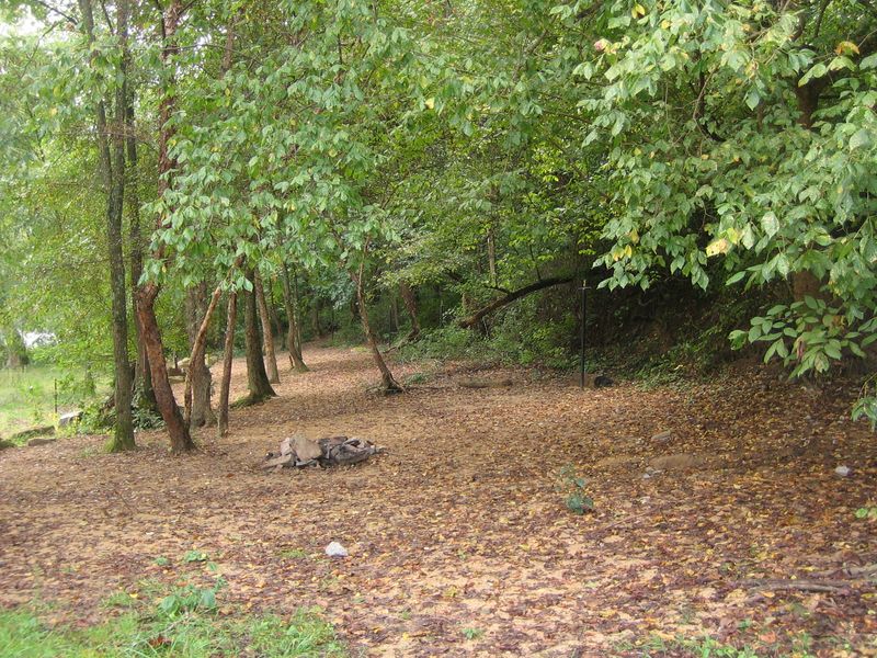
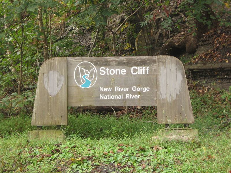
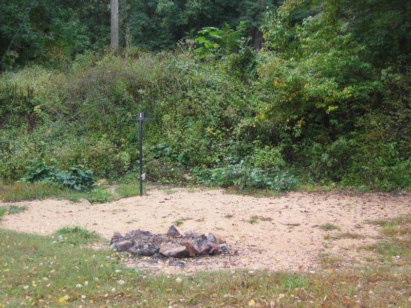
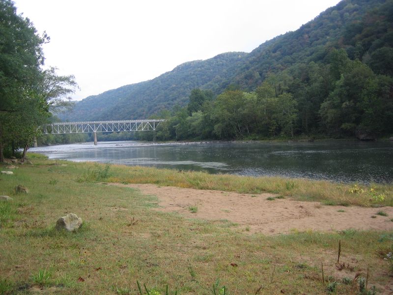
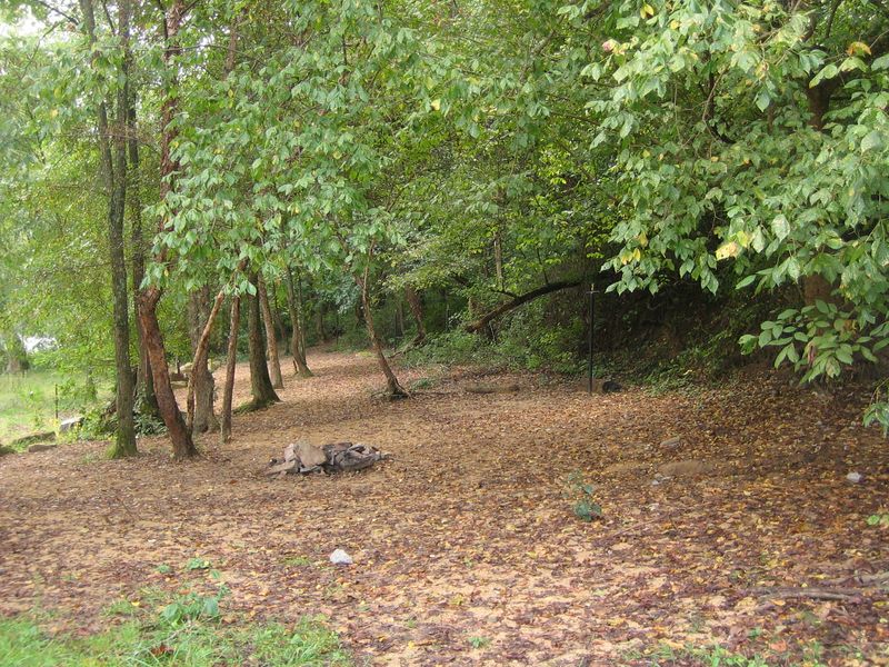
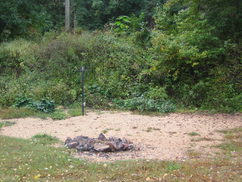
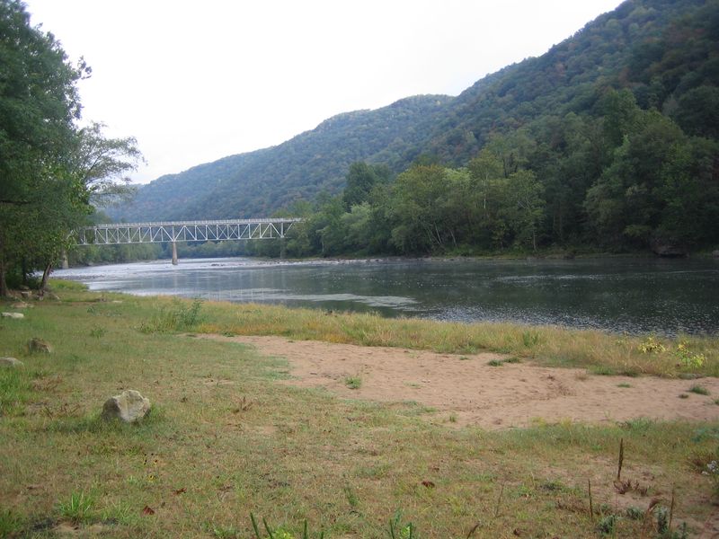
Stone Cliff Beach Campground is a primitive, tent-only destination located near the historic railroad town of Thurmond in New River Gorge National Park and Preserve. The campground features 7 walk-in sites with 5 positioned directly on a sandy beach along the New River and 2 tucked into the adjacent forest. This is strictly a backpacking-style experience with no drive-in sites and a prohibition on RV, camper, or car camping. Amenities are minimal but functional: composting toilets are available year-round with accessible restroom facilities, and bear-proof trash receptacles are provided. There is no potable water, so campers must bring their own supply. Each site has a fire ring, and campers may burn dead wood found on the ground. Pets are welcome on a leash with a maximum of 4 per site. The Stone Cliff Trailhead originates at the campground, offering a 2.7-mile moderate hike along an old road following the New River banks. The location provides easy river access for fishing and boating. Camping is limited to 14 consecutive nights per 28-day period, with quiet hours enforced from 10 PM to 6 AM.
Directions
From U.S. Route 19 north of Beckley, take the Glen-Jean-Thurmond exit. Take an immediate left and go 0.5 miles to Glen Jean. Turn right and follow the signs for Thurmond (WV Route 25). Continue for 6 miles to a three-way intersection. Bear right and go 1.5 miles on this road. Take a right on the gravel road, just before the bridge crossing the New River. Continue past the boat launch to the parking area.
Amenities
| Water | No |
| Fires Allowed | Yes |
| Toilets | Yes |
| Dump Station | No |
| Wifi | — |
| Pets Allowed | Yes |
| Showers | No |
| Electric Hookups | — |
| Water Hookups | — |
| Sewer Hookups | — |
| Camp Store | — |
| Price | $0 |
Vehicle
| Max RV Length | — |
| Max Trailer Length | — |
| Big Rig Friendly | No |
| Pull Through Sites | No |
Contact
| neri_interpretation@nps.gov | |
| Phone | +1 (304) 465-0508 |
Cell Service
| AT&T | None |
| Verizon | None |
| T-Mobile | None |
Photos
Community Posts
No posts yet. Be the first to share your experience!