South Fork Group Site
The campground is currently closed for the season. It operates seasonally, typically from late spring through early fall. Reservations are available through Recreation.gov.
About
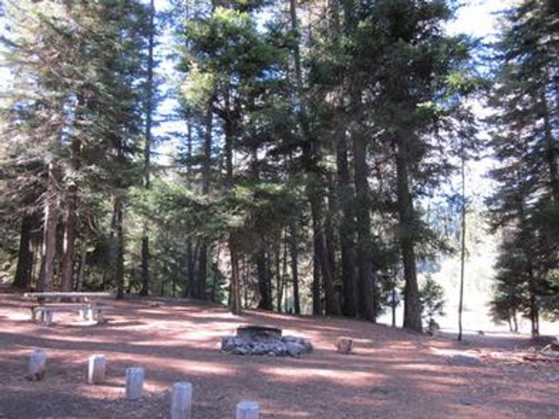
South Fork Group Campground is nestled in the Okanogan-Wenatchee National Forest along the South Fork of the Tieton River in Washington's eastern Cascade Mountains. The campground offers a single group site with nine designated spurs capable of hosting up to 80 people and 20 vehicles, making it ideal for large family reunions, scout troops, or group gatherings. Access is controlled by a locked gate, with the combination provided in the reservation confirmation. The site features vault toilets, picnic tables, and a group campfire ring. There is no potable water, so visitors must bring their own supply. No trash collection is provided, requiring pack-out. The driveway is 800 feet long with a gravel surface and requires back-in entry. Vehicles, RVs, and trailers up to 40 feet are permitted. Rimrock Lake lies less than a mile from the campground, providing excellent opportunities for fishing kokanee salmon and trout or paddling. The Tieton River is popular for whitewater rafting, especially in September when the Bureau of Reclamation releases water from Rimrock Dam. Hiking trails and the Pacific Crest Trail are accessible nearby, and Mt. Rainier National Park is within driving distance.
Directions
From Naches, Washington, follow US Highway 12 west for approximately 23 miles to paved Forest Road 1200. Turn left and follow FR 1200 for approximately 3 miles, then turn left and take FR 1203 for 3/4 mile. Turn right and follow FR 517 for 0.2 miles into the campground.
Amenities
| Water | No |
| Fires Allowed | Yes |
| Toilets | Yes |
| Dump Station | — |
| Wifi | No |
| Pets Allowed | — |
| Showers | No |
| Electric Hookups | — |
| Water Hookups | — |
| Sewer Hookups | — |
| Camp Store | No |
| Price | $60 |
Vehicle
| Max RV Length | 40ft |
| Max Trailer Length | 40ft |
| Big Rig Friendly | Yes |
| Pull Through Sites | No |
Contact
| Phone | +1 (509) 653-1401 |
Cell Service
| AT&T | None |
| Verizon | None |
| T-Mobile | None |
Availability
Photos

Community Posts
No posts yet. Be the first to share your experience!