Rohrbach Group Campground
Open for the 2026 season with sites available for reservation. The campground typically operates April through November. Reservations required through Recreation.gov; this facility is restricted to scout troops and civic organizations only. No individual or family camping permitted.
Artifacts Removed From Museum
Due to leaks and humidity issues, most of the historic artifacts have been taken off exhibit to protect them until these issues have been resolved. Exhibit area is still open including text panels, maps, and hands-on-exhibits.
Sherrick Farm Trail Detour
There is a detour on the trail due to downed trees. Our staff is working diligently to remove these from the trail.
About
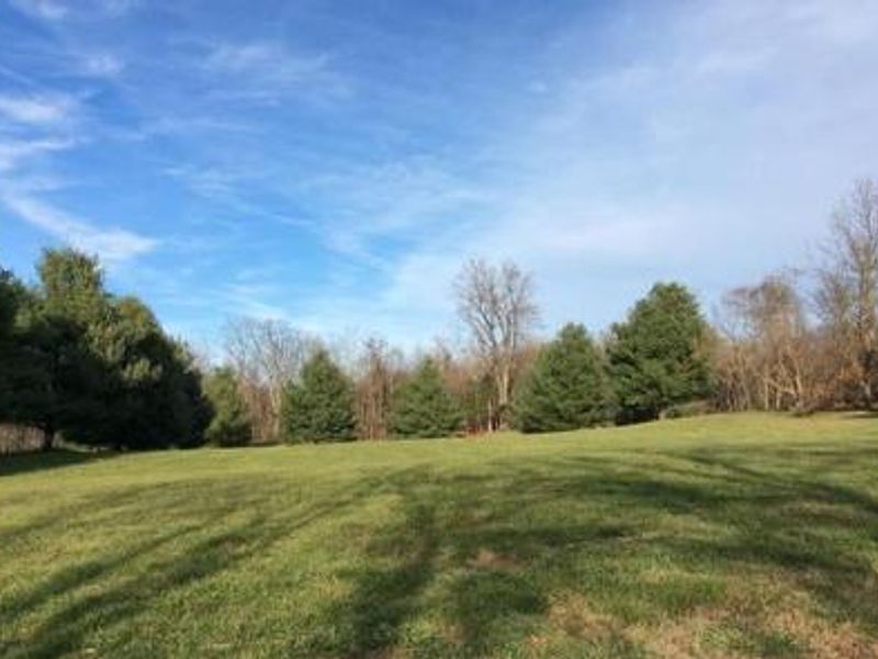
Rohrbach Group Campground sits within Antietam National Battlefield, site of the bloodiest single-day battle in American history. On September 17, 1862, over 23,000 soldiers were killed, wounded, or missing during twelve hours of combat. The campground provides organized youth groups and civic organizations an opportunity to camp on this hallowed ground while learning about the battle that ended the Confederate Army's first invasion of the North and led to Lincoln's preliminary Emancipation Proclamation. The primitive, walk-in campground offers 10 group sites, each with a fire ring and picnic tables, accommodating up to 30 people per site. Sites are accessed via a 300-yard hike from the parking area. Pit toilets and handwashing stations are available at the campground, but there is no potable water on site. A water spigot is available at the visitor center at 5831 Dunker Church Road, and rangers provide a water buffalo when temperatures are above freezing. Campers must bring firewood from Maryland or use USDA-certified bug-free wood. Beyond camping, groups can explore 15 miles of hiking trails including the popular Bloody Lane and Final Attack trails. Biking the battlefield tour road is permitted, and ranger-led programs can be arranged in advance. The diverse landscape of farmland, woodlots, and limestone forests supports abundant wildlife including white-tailed deer, Eastern Bluebirds, and Pileated Woodpeckers.
Directions
The campground is located at 18316 Burnside Bridge Road, Sharpsburg, MD 21782. The visitor center is at 5831 Dunker Church Road off MD Route 65, ten miles south of I-70 and one mile north of Sharpsburg.
Nearby Campgrounds
Amenities
| Water | No |
| Fires Allowed | Yes |
| Toilets | Yes |
| Dump Station | No |
| Wifi | — |
| Pets Allowed | Yes |
| Showers | No |
| Electric Hookups | — |
| Water Hookups | — |
| Sewer Hookups | — |
| Camp Store | No |
| Price | $25 |
Vehicle
| Max RV Length | — |
| Max Trailer Length | — |
| Big Rig Friendly | No |
| Pull Through Sites | No |
Contact
| Phone | +1 (301) 432-5124 |
Cell Service
| AT&T | Yes |
| Verizon | Yes |
| T-Mobile | Yes |
Availability
Photos
Community Posts
No posts yet. Be the first to share your experience!