Antietam Creek Campsite
Open year-round. Reservations available through Recreation.gov. Peak season (April 15 to November 15) is $20/night; non-peak season is $10/night. Potable water at hand pumps is available mid-April through mid-November only. This is a pack-it-out park with no trash service.
About
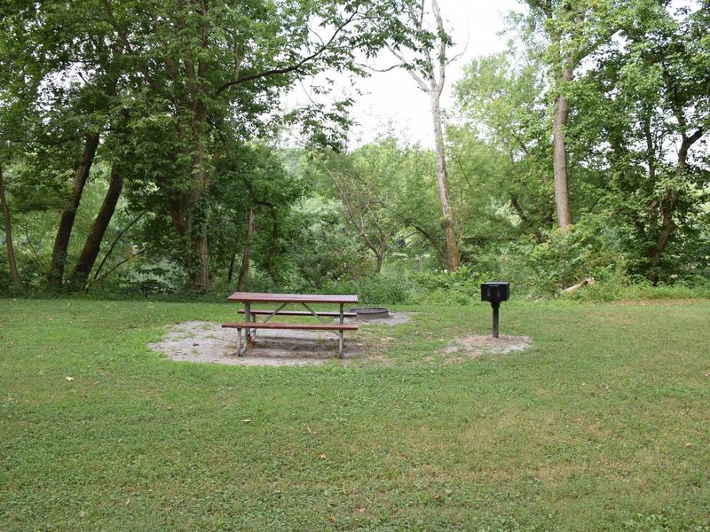
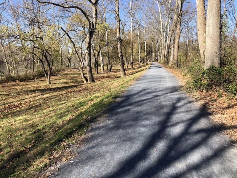
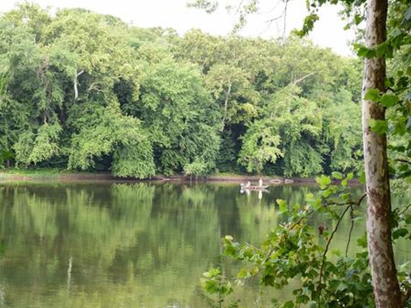
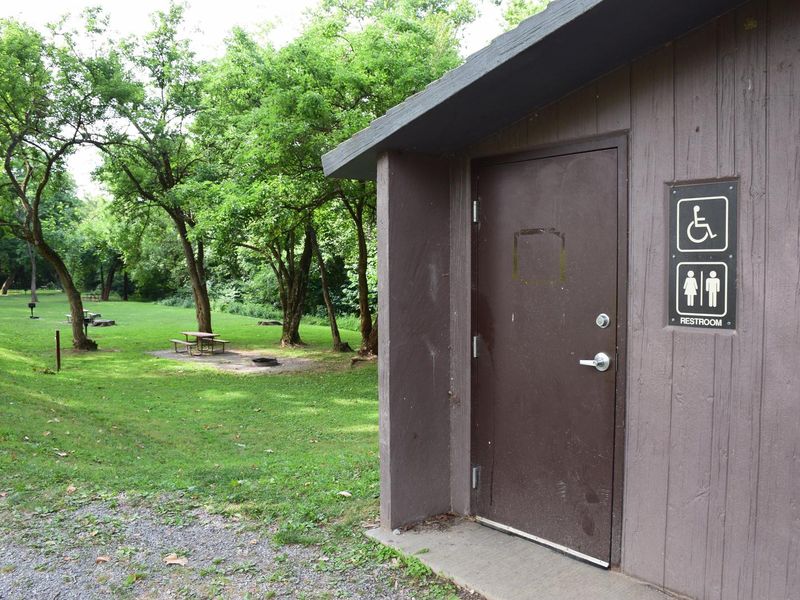
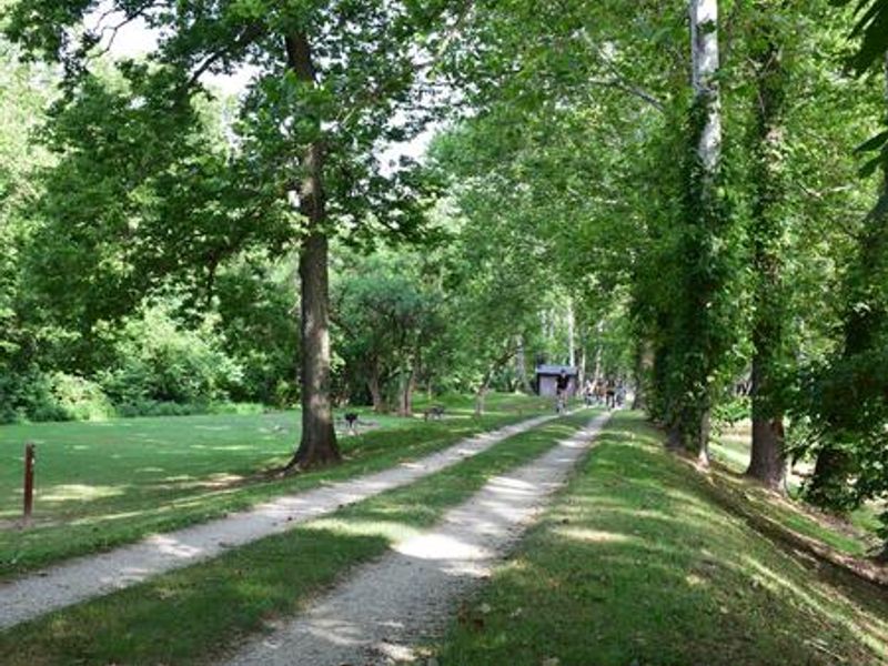
Antietam Creek Campground is a walk-in tent campground within Chesapeake and Ohio Canal National Historical Park, located at Mile 69.4 of the towpath a few miles south of Shepherdstown. The 20 single campsites are nestled in the woods between the historic canal and the Potomac River, each accommodating up to eight campers with a picnic table, fire ring, and grill. Access to the campground is by foot only since no vehicles are permitted on the towpath. Park along Canal Road and walk in to your site. Pit toilets are located between sites 6 and 7, with additional chemical toilets available further down the towpath. Potable water is available at hand pumps along the towpath during the warmer months (mid-April through mid-November). The location offers excellent recreational opportunities including fishing in the canal and Potomac River, kayaking on Antietam Creek, and hiking the towpath. Nearby boat ramps at Dargan Bend and Snyders Landing provide river access. The campground is also close to Antietam National Battlefield, South Mountain Recreation Area, and Harpers Ferry National Historical Park for Civil War history and additional hiking.
Directions
From Hagerstown: Take MD-65 to Sharpsburg. Turn right on Main Street, then left on Harpers Ferry Road. Before crossing the Antietam Creek bridge, turn right on Canal Road. Campsites are across the canal and towpath from Canal Road. From West Virginia: Take WV-480 through Shepherdstown across the Potomac River. Make the first right after the bridge onto Canal Road and follow it until you see the campsites on your right before Antietam Creek.
Nearby Campgrounds
Amenities
| Water | Yes |
| Fires Allowed | Yes |
| Toilets | Yes |
| Dump Station | No |
| Wifi | — |
| Pets Allowed | Yes |
| Showers | No |
| Electric Hookups | — |
| Water Hookups | — |
| Sewer Hookups | — |
| Camp Store | — |
| Price | $10 |
Vehicle
| Max RV Length | — |
| Max Trailer Length | — |
| Big Rig Friendly | No |
| Pull Through Sites | No |
Contact
| Phone | +1 (301) 739-4200 |
Cell Service
| AT&T | Yes |
| Verizon | None |
| T-Mobile | None |
Availability
Photos


Community Posts
No posts yet. Be the first to share your experience!