Red Bluff Campground
Open May through October. Some sites are first-come-first-served while others are reservable via Recreation.gov. Quiet hours are 10 PM to 6 AM. Flash flooding is possible in the area.
Forest Closure - Bridge Replacement at Paddy Creek
Paddy Creek Recreation Area, National Forest System Road 211, Big Piney Trailhead Spur Trail (03-016-D), Paddy Creek Trail Loop (Trail 03-016-C), and a section of the Big Piney Trail (03-016-A) will be closed from December 1, 2026 until December 31, 2027 while a bank on the creek is restabilized…
Forest Order - Trail 119 Closure Extended (Chadwick Motorized Trail System)
The closure of Trail 119 of the Chadwick Motorized Trail System has been extended due to delays with the culvert replacement. This order supersedes the previous order. The closure of Trail 119 begins on Trail 101 about halfway between KC Pavilion Trailhead and Cobb Ridge Campground and extends…
Beaver Lake Temporary Closure
Beaver Lake, located within the Poplar Bluff Ranger District, will be temporarily closed to facilitate dam repair work.
About
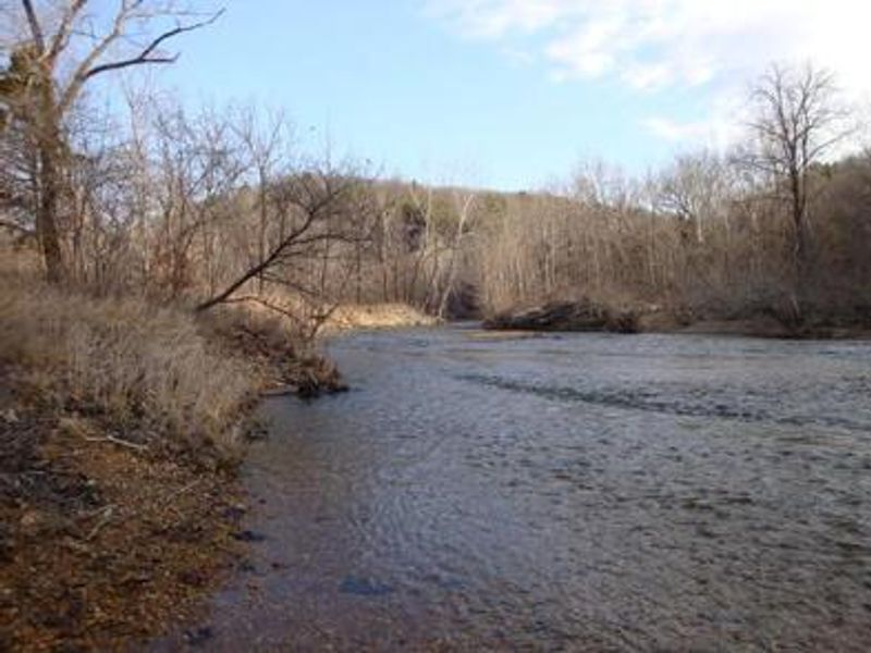
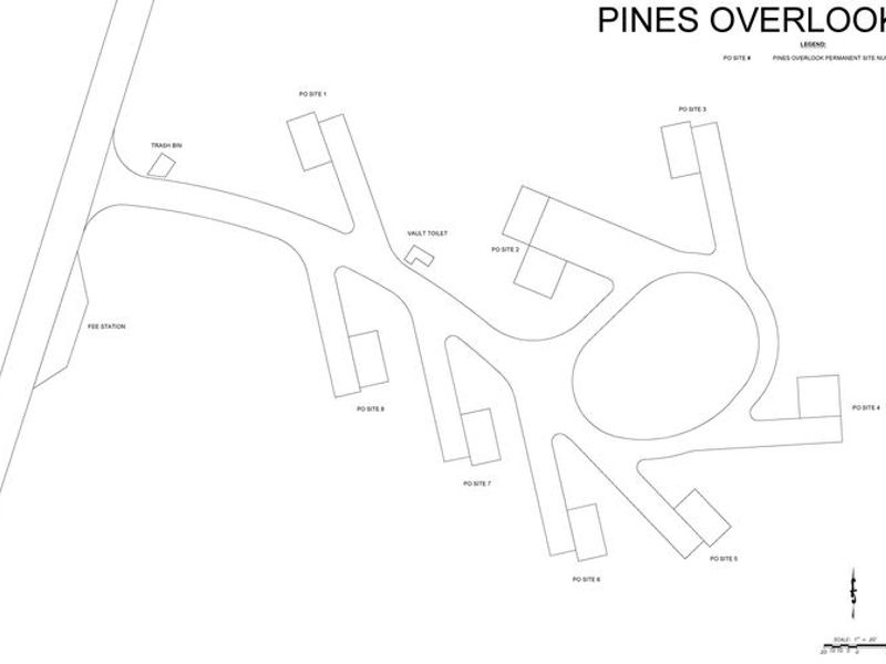
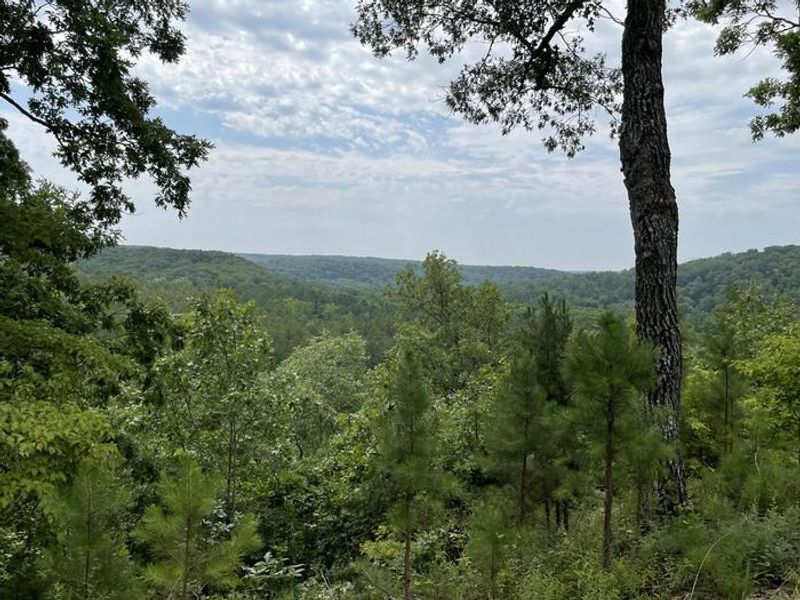
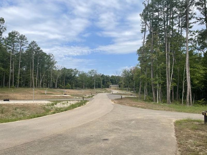
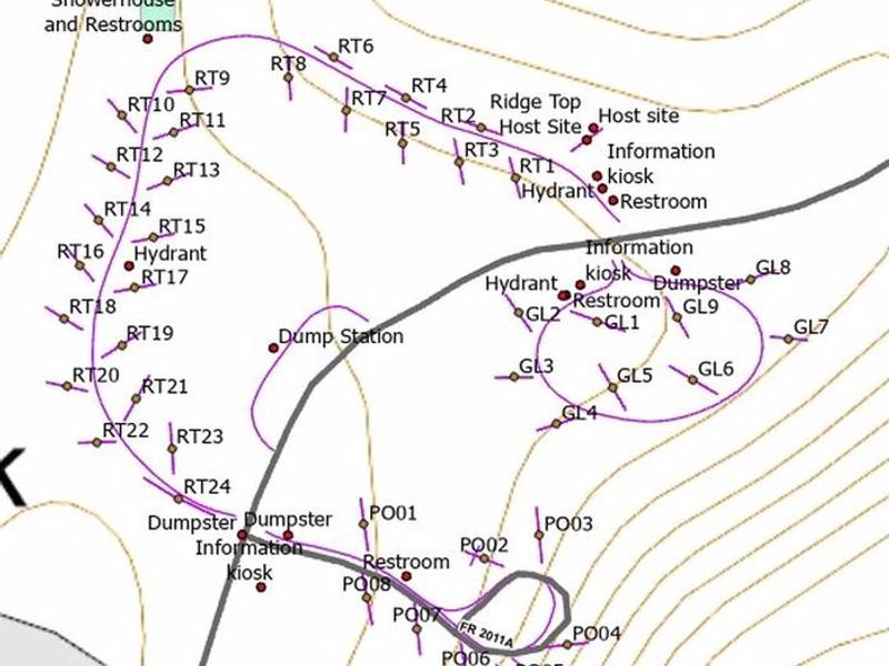
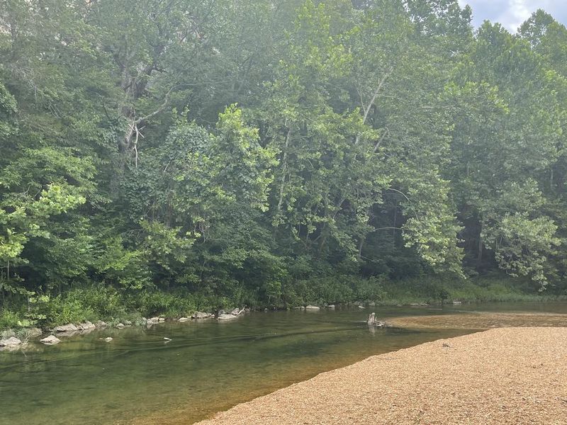
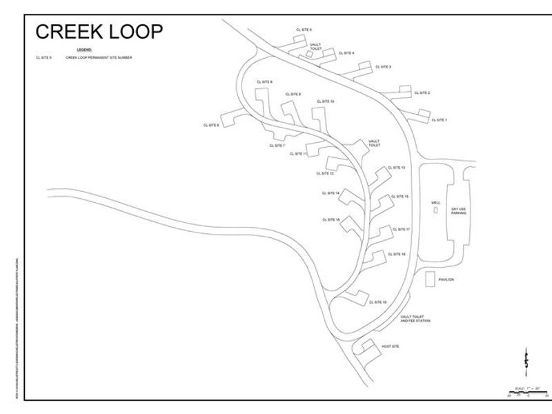
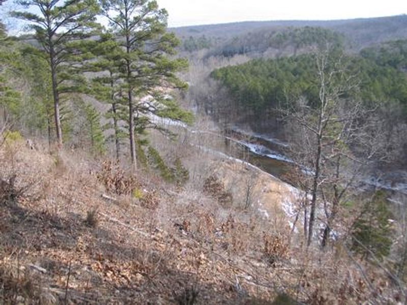
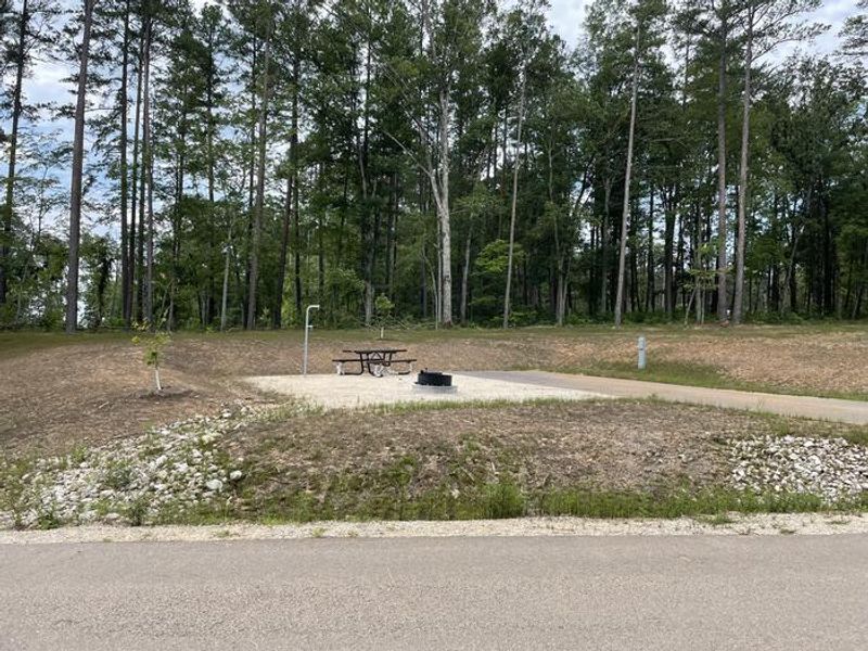
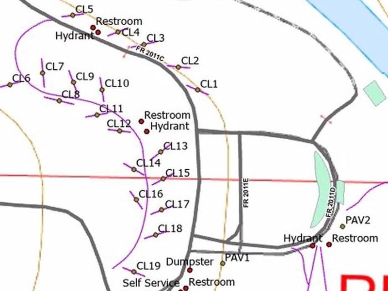
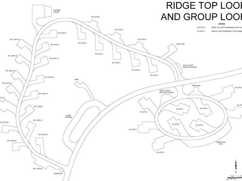
Red Bluff Campground is located in the Potosi-Fredericktown Ranger District of Mark Twain National Forest, named for the striking red bluffs that rise along Huzzah Creek. The area has a rich history dating to the 1830s Boyer Mill era and a thriving timber industry before the U.S. Forest Service acquired the land in 1940. Today, the campground provides a relaxing setting with gravel bars along the creek, natural pools and riffles, and mature forest. The campground underwent significant renovations in 2023, adding three new camping loops above the floodplain (Ridge Top, Creek, and Group loops) with modern flush restrooms, drinking water, and 30/50 amp electric pedestals. A shower house and dump station were also constructed. The fourth loop, Pines Overlook, remains non-electric. Each site includes a picnic table, fire ring with grill, and lantern post. The campground can accommodate RVs up to 45 feet. Huzzah Creek offers swimming and tubing, though conditions vary with water levels and unmarked drop-offs require caution. Fishing yields bass, sunfish, suckers, and catfish. The 1.2-mile Red Bluff Trail loops through pine plantations and oak timber within the campground boundaries.
Directions
From St. Louis, take I-44 west to Cuba. Continue on Highway 19 south to Cherryville. Take Highway 49 south to Highway V, turn left to Davisville and travel approximately 1 mile, then turn left into the campground.
Nearby Campgrounds
Location
Amenities
| Water | Yes |
| Fires Allowed | Yes |
| Toilets | Yes |
| Dump Station | Yes |
| Wifi | — |
| Pets Allowed | Yes |
| Showers | Yes |
| Electric Hookups | Yes |
| Water Hookups | No |
| Sewer Hookups | No |
| Camp Store | — |
| Price | $25 - $50 |
Vehicle
| Max RV Length | 45ft |
| Max Trailer Length | 45ft |
| Big Rig Friendly | Yes |
| Pull Through Sites | No |
Contact
| Phone | +1 (573) 743-6042 |
Cell Service
| AT&T | None |
| Verizon | None |
| T-Mobile | None |
Availability
Photos
Community Posts
No posts yet. Be the first to share your experience!