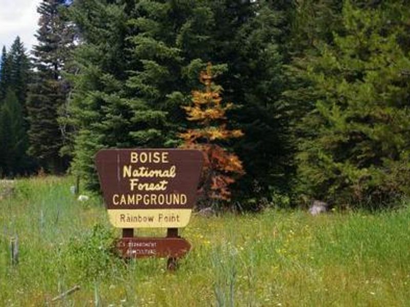
Rainbow Point
The campground is currently closed for the season. It typically opens mid-May through mid-September. Some sites are reservable through Recreation.gov while others are first-come, first-served.
Weed Free Hay Order 04-2021-03
Prohibited by this order: Possessing, storing, or transporting non-pelletized hay, straw, or mulch in the Intermountain Region, unless it is certified as weed free by the state where the product originated.
Fireworks and Spark Arrestor Order 04-2021-01
Prohibited by this order: Possessing, discharging, or using any kind of firework or other pyrotechnic device. 36 CFR §261.52(t)Operating or using any internal or external combustion engine without a spark arresting device properly installed, maintained and in effective working order as described…
Explosives and Exploding Target Order 04-2021-02
This order prohibits the use of explosives and exploding targets on National Forest System lands within the Intermountain Region.
About
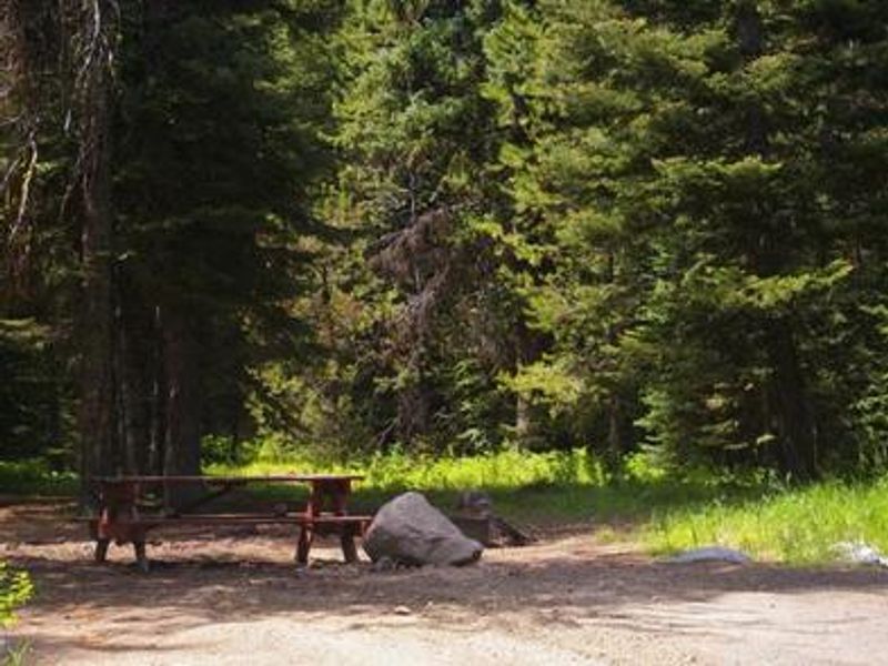
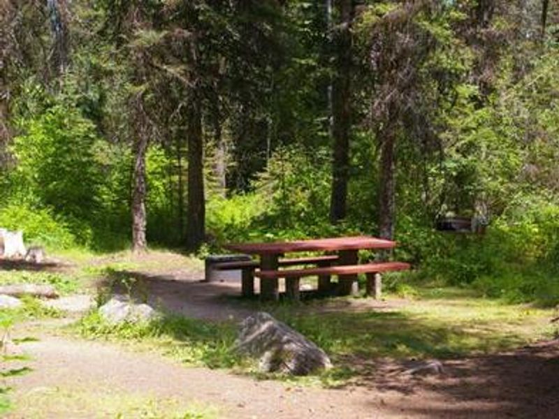
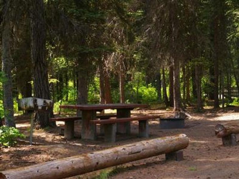
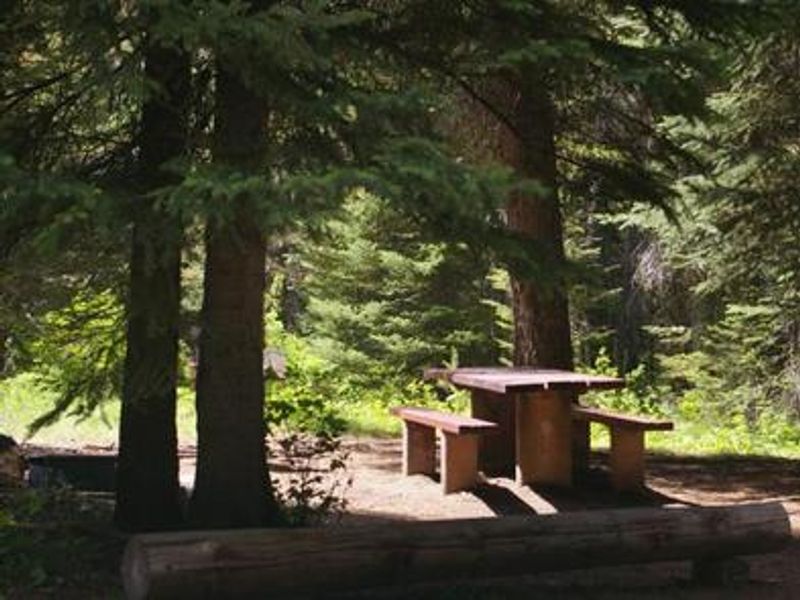
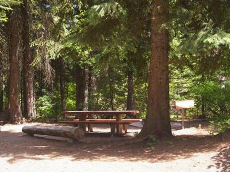
Rainbow Point Campground is located next to scenic Lake Cascade in west central Idaho, near the town of Donnelly at an elevation of 4,850 feet. This intimate campground features 8 campsites (6 single-family sites and 2 double sites) tucked among towering mixed-growth conifers. Some sites offer lake views and direct shoreline access, making this an ideal spot for water-based recreation. Boating, fishing, swimming, and hiking are popular activities in this area. Lake Cascade provides excellent opportunities for water skiing, canoeing, windsurfing, and sailing. Anglers can cast for rainbow trout, coho salmon, smallmouth bass, and perch. A boat ramp is located within the campground for convenient water access. The campground is situated in bear country, so campers should keep a clean camp and practice bear awareness. Summer wildflowers are abundant, and wildlife including waterfowl, songbirds, pelicans, and bald eagles can be spotted around the lake.
Directions
From Boise, travel north on Highway 55 for 95 miles to Donnelly. Turn west on West Roseberry Road and go 1.5 miles to Norwood Road. Turn south and continue a mile to Tamarack Falls Road. Turn west and go just over a mile to West Mountain Road. Turn south and go a mile to the campground.
Amenities
| Water | Yes |
| Fires Allowed | Yes |
| Toilets | Yes |
| Dump Station | No |
| Wifi | No |
| Pets Allowed | Yes |
| Showers | No |
| Electric Hookups | — |
| Water Hookups | — |
| Sewer Hookups | — |
| Camp Store | No |
| Price | $40 |
Vehicle
| Max RV Length | 45ft |
| Max Trailer Length | 45ft |
| Big Rig Friendly | — |
| Pull Through Sites | No |
Contact
| Phone | +1 (208) 382-7400 |
Cell Service
| AT&T | Yes |
| Verizon | Yes |
| T-Mobile | Yes |
Availability
Photos

Community Posts
No posts yet. Be the first to share your experience!