Amanita
Open mid-May through mid-September. Reservations available via Recreation.gov; first-come, first-served sites may also be available. Bears frequent the area; keep a clean camp and store food properly.
Weed Free Hay Order 04-2021-03
Prohibited by this order: Possessing, storing, or transporting non-pelletized hay, straw, or mulch in the Intermountain Region, unless it is certified as weed free by the state where the product originated.
Fireworks and Spark Arrestor Order 04-2021-01
Prohibited by this order: Possessing, discharging, or using any kind of firework or other pyrotechnic device. 36 CFR §261.52(t)Operating or using any internal or external combustion engine without a spark arresting device properly installed, maintained and in effective working order as described…
Explosives and Exploding Target Order 04-2021-02
This order prohibits the use of explosives and exploding targets on National Forest System lands within the Intermountain Region.
About
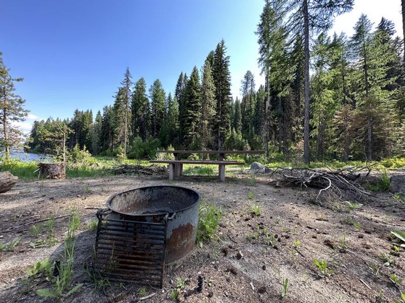
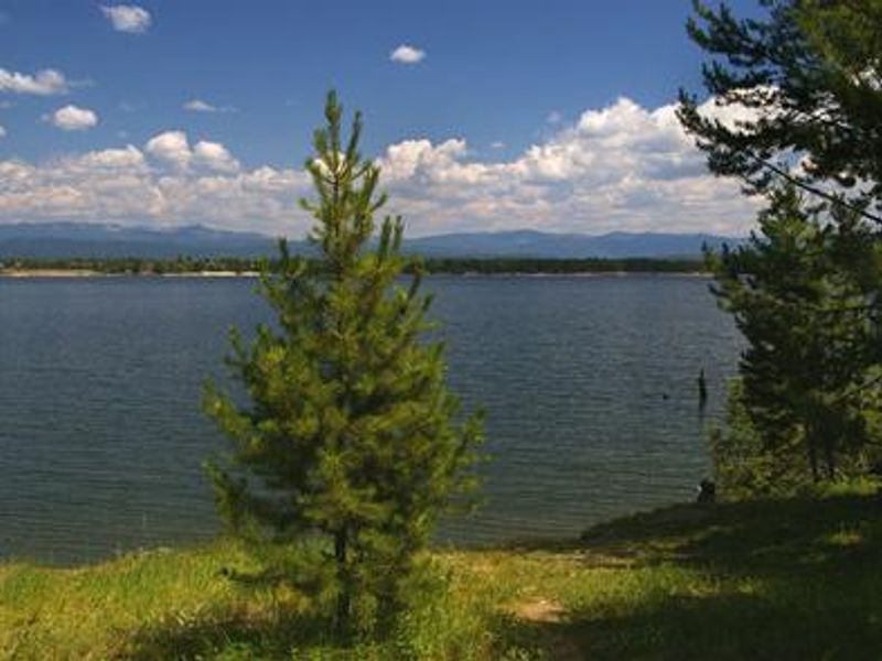
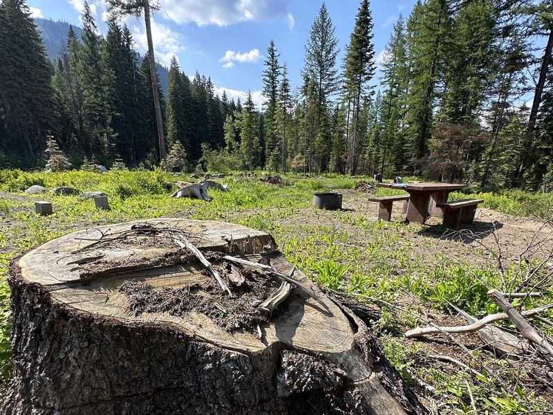
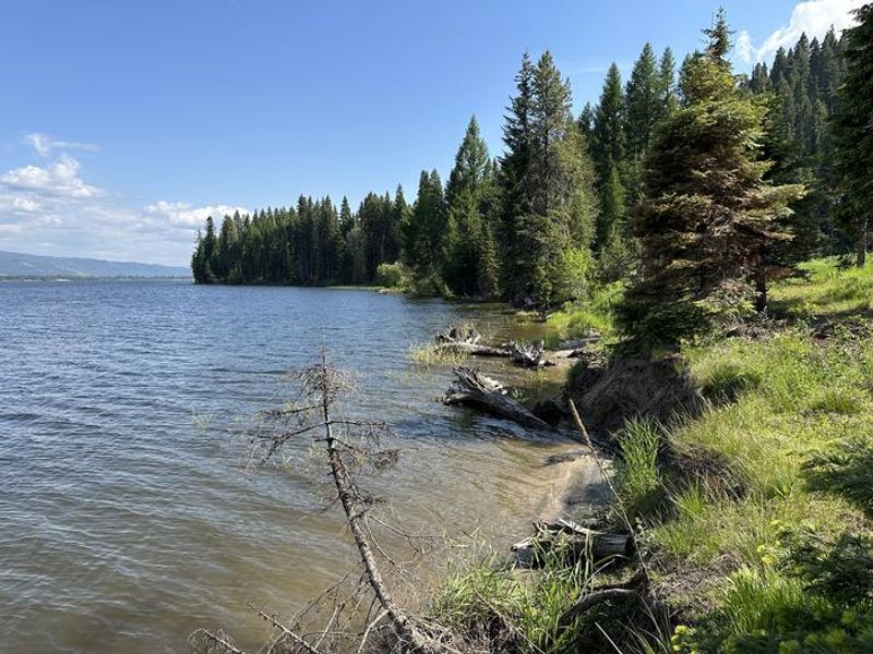
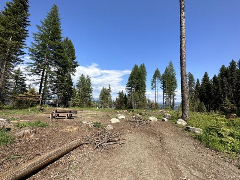
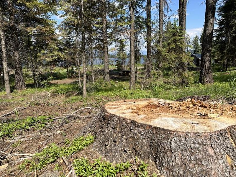
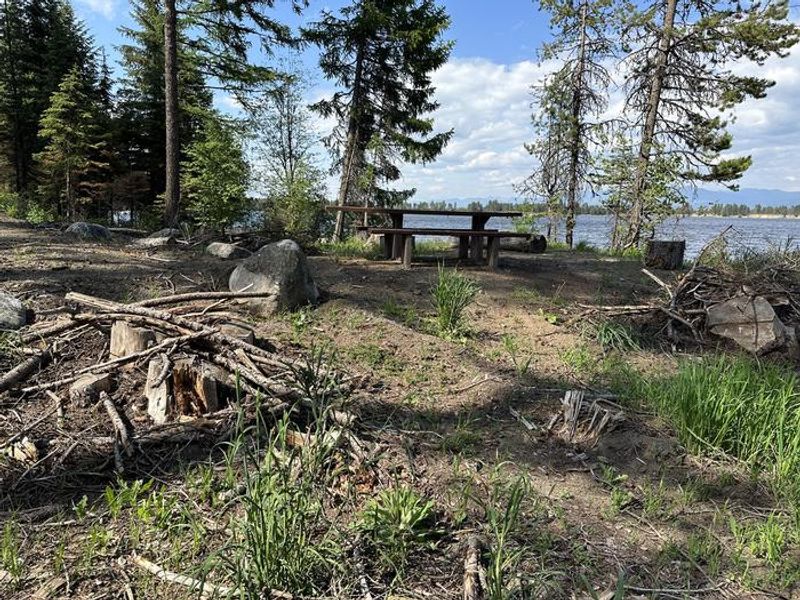
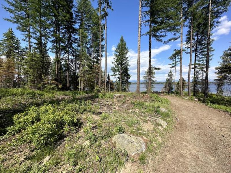
Amanita Campground is a small, scenic campground located on the west shore of Lake Cascade in the Boise National Forest, near Donnelly, Idaho. Situated at 4,850 feet elevation among towering mixed-growth conifers, the campground offers 10 single-family sites equipped with picnic tables, campfire rings, and grills. Some sites provide direct lake views and shoreline access. Vault toilets, potable drinking water, and trash collection are available, though there is no electricity. Lake Cascade provides excellent opportunities for boating, water skiing, canoeing, windsurfing, sailing, and swimming. Anglers can cast for rainbow trout, coho salmon, smallmouth bass, and perch. A boat ramp is located at nearby Rainbow Point Campground. Numerous hiking and ATV trails are accessible in the surrounding area. Wildlife is abundant around the lake, including waterfowl, songbirds, pelicans, and bald eagles. Bears frequent the area, so campers should maintain a clean camp and practice bear-aware food storage. Summer wildflowers bloom throughout the area, adding to the scenic beauty.
Directions
From Boise, take Highway 55 north for 95 miles to Donnelly. Turn west on West Roseberry Road and travel 1.5 miles to Norwood Road. Turn south and continue one mile to Tamarack Falls Road. Turn west and go just over a mile to West Mountain Road. Turn south and go one mile to the campground.
Amenities
| Water | Yes |
| Fires Allowed | Yes |
| Toilets | Yes |
| Dump Station | No |
| Wifi | No |
| Pets Allowed | — |
| Showers | No |
| Electric Hookups | — |
| Water Hookups | — |
| Sewer Hookups | — |
| Camp Store | No |
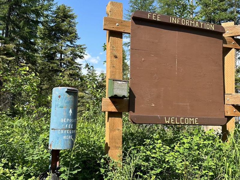
| Price | $20 |
Vehicle
| Max RV Length | 40ft |
| Max Trailer Length | 40ft |
| Big Rig Friendly | — |
| Pull Through Sites | No |
Contact
| Phone | +1 (208) 382-7400 |
Cell Service
| AT&T | Yes |
| Verizon | Yes |
| T-Mobile | Yes |
Availability
Photos

Community Posts
No posts yet. Be the first to share your experience!