Big Flat
Closed indefinitely due to the 2024 Lava Fire. Campground infrastructure and surrounding vegetation were completely burned. Expected to remain closed through 2026.
Weed Free Hay Order 04-2021-03
Prohibited by this order: Possessing, storing, or transporting non-pelletized hay, straw, or mulch in the Intermountain Region, unless it is certified as weed free by the state where the product originated.
Fireworks and Spark Arrestor Order 04-2021-01
Prohibited by this order: Possessing, discharging, or using any kind of firework or other pyrotechnic device. 36 CFR §261.52(t)Operating or using any internal or external combustion engine without a spark arresting device properly installed, maintained and in effective working order as described…
Explosives and Exploding Target Order 04-2021-02
This order prohibits the use of explosives and exploding targets on National Forest System lands within the Intermountain Region.
About
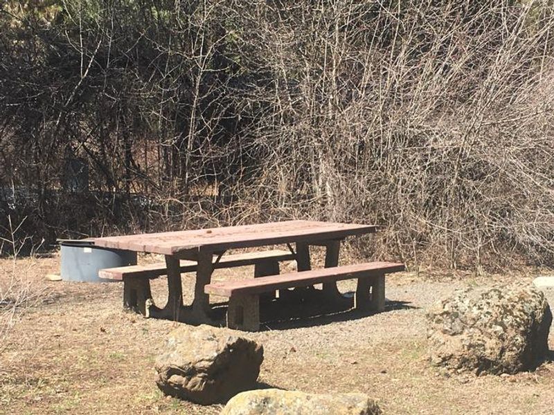
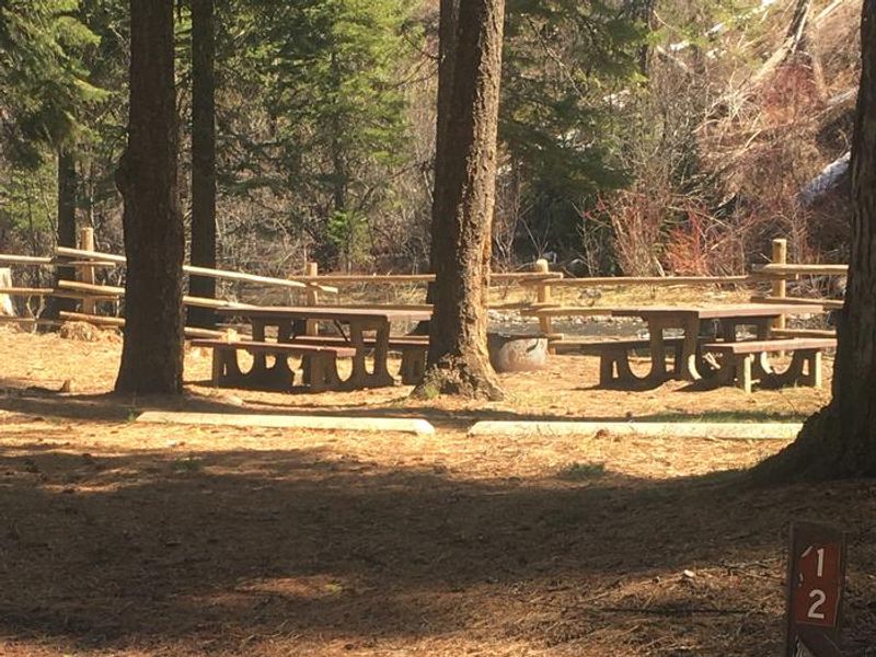
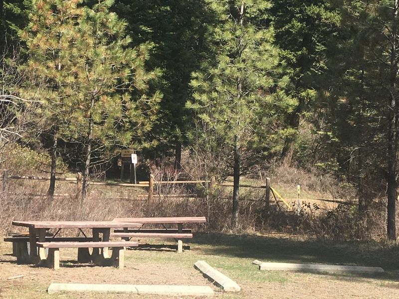
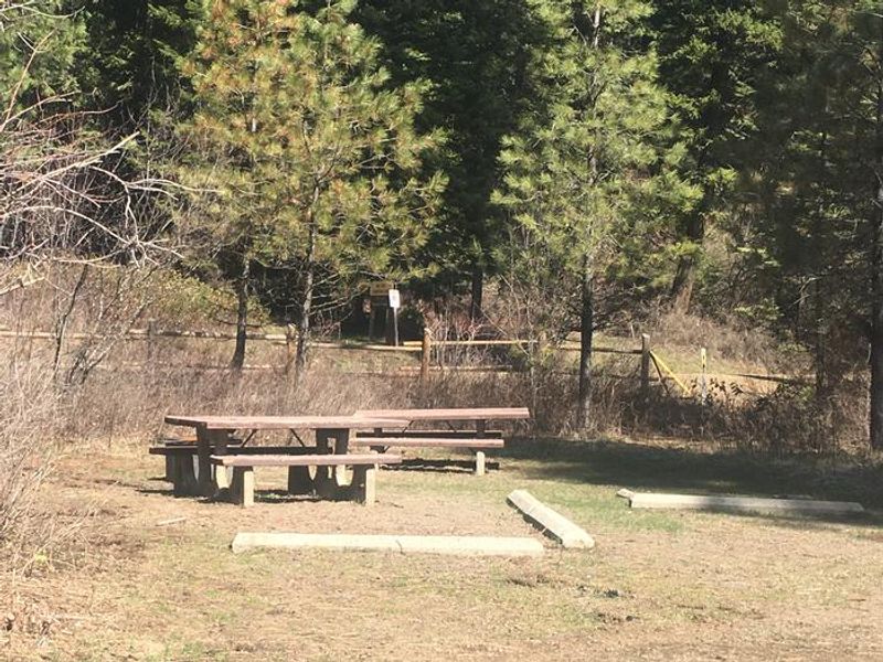
Big Flat Campground is a small, primitive campground located on the Little Weiser River within Payette National Forest. The 12-site campground offers a peaceful setting for warmwater fishing, particularly bass. Access requires a 16-mile drive on a winding, narrow gravel road (Forest Road 206) from Highway 95, approximately 26 miles south of Council, Idaho. The campground is currently closed indefinitely due to the 2024 Lava Fire, which completely burned the campground infrastructure and surrounding vegetation. The closure is expected to extend through 2026. When operational, the campground provides potable water via hand pump and ADA-accessible vault toilets. No hookups are available, and campers must pack out all trash. Sites operate on a first-come, first-served basis with fees of $10 per night for single sites and $15 for double sites.
Directions
26 miles south of Council, Idaho. From Highway 95, turn east on Forest Road 206 and travel approximately 16 miles to the campground entrance. The road is a long, winding gravel road that is narrow in spots.
Amenities
| Water | Yes |
| Fires Allowed | — |
| Toilets | Yes |
| Dump Station | No |
| Wifi | No |
| Pets Allowed | — |
| Showers | No |
| Electric Hookups | — |
| Water Hookups | — |
| Sewer Hookups | — |
| Camp Store | No |
| Price | $10 |
Vehicle
| Max RV Length | — |
| Max Trailer Length | — |
| Big Rig Friendly | No |
| Pull Through Sites | No |
Contact
| Phone | +1 (208) 253-0100 |
Cell Service
| AT&T | None |
| Verizon | Yes |
| T-Mobile | None |
Useful Links
| View on Recreation.gov | |
| USFS - Big Flat Campground |
Availability
Photos
Community Posts
No posts yet. Be the first to share your experience!