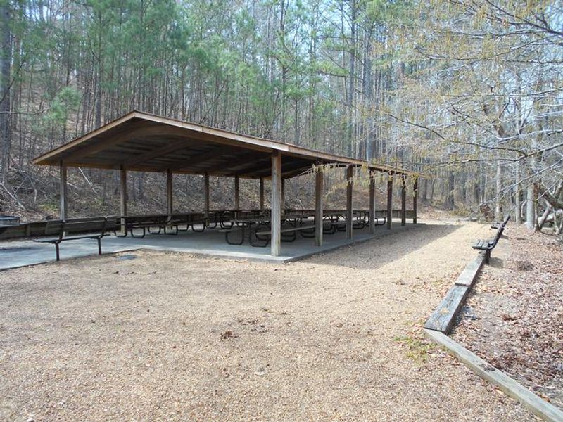
Pocket Picnic Shelter
The shelter is open and available for day-use reservations through Recreation.gov. When not reserved, the shelter is available first-come, first-served. This is a day-use facility only with no overnight camping.
About
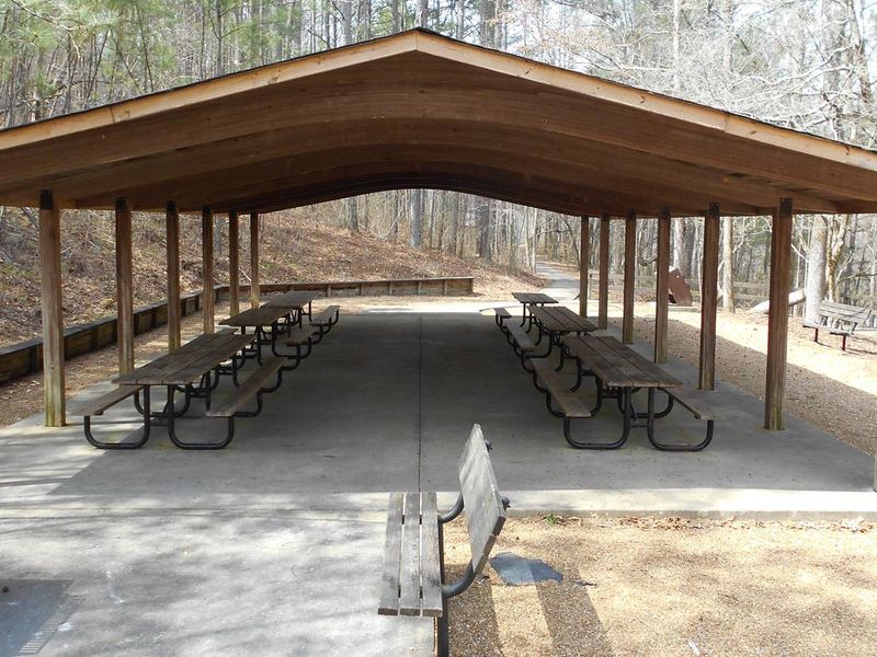
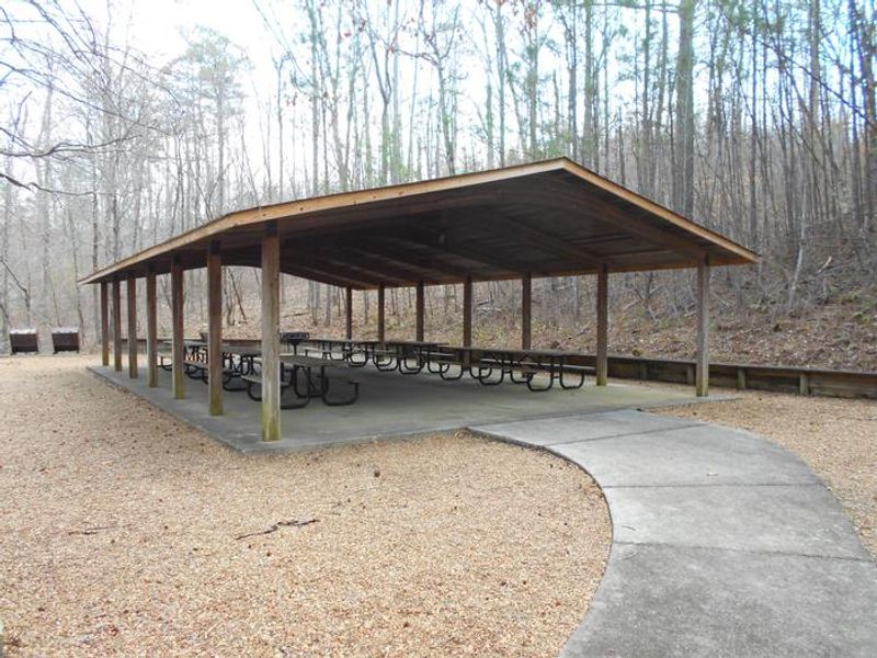
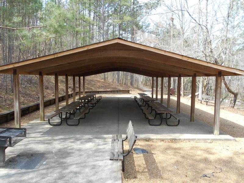
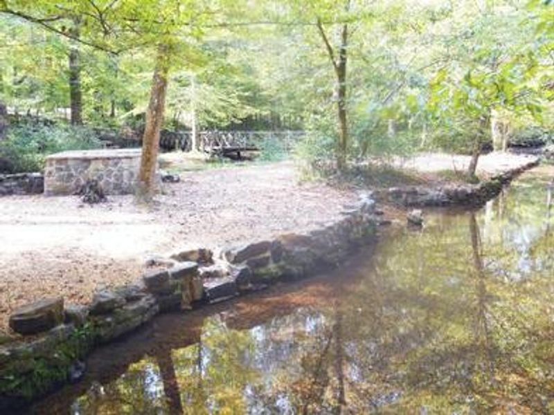
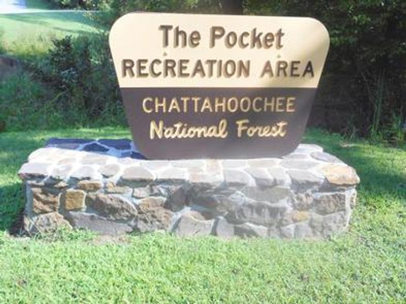
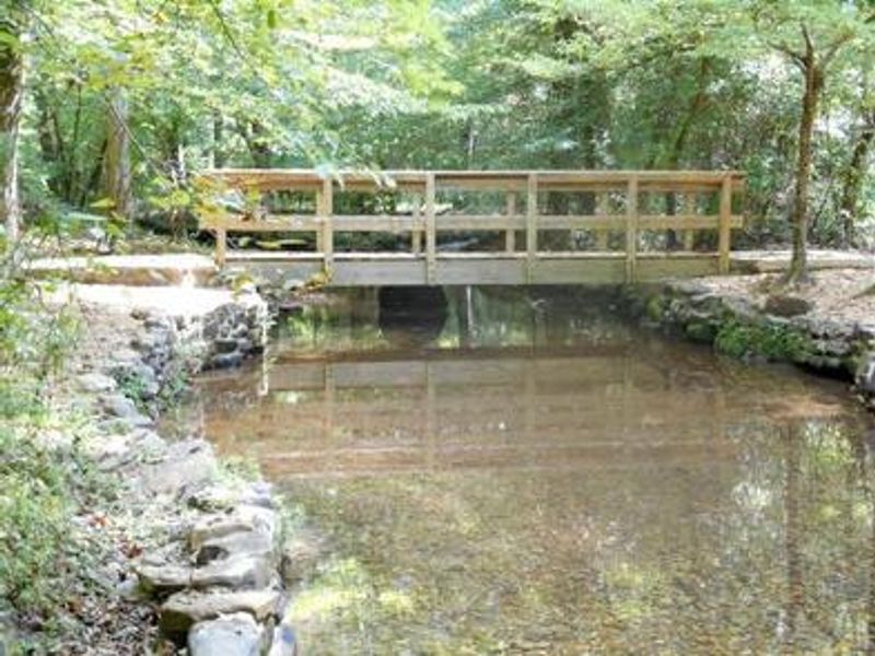
Pocket Picnic Shelter is a reservable day-use facility located in the Pocket Recreation Area of the Chattahoochee-Oconee National Forest in northwest Georgia. Nestled between Horn and Mill Mountains in the Ridge and Valley Province, the shelter provides a scenic setting for family gatherings, birthday parties, and group events for up to 75 people. The shelter includes picnic tables, grills, and accessible vault toilets. Drinking water is not available at the shelter itself but can be found at the adjacent Pocket Campground. Trail access is available to the 1.5-mile Pocket Interpretive Trail and 2.5-mile Pocket Loop Trail, both departing from the picnic area. A historic Civilian Conservation Corps spring box in the creek provides a cool spot during summer months. Note: This is a day-use picnic shelter only. For overnight camping, see the adjacent Pocket Campground. Alcohol and fireworks are prohibited. Cell service is extremely limited in the area.
Directions
From I-75, take Exit 320 (LaFayette/Resaca) and head west on Georgia State Route 136 for approximately 14 miles. Turn left onto Pocket Road and continue approximately 7 miles. The recreation area is on the left. The second driveway leads to the picnic shelter.
Nearby Campgrounds
Amenities
| Water | No |
| Fires Allowed | Yes |
| Toilets | Yes |
| Dump Station | No |
| Wifi | No |
| Pets Allowed | Yes |
| Showers | No |
| Electric Hookups | — |
| Water Hookups | — |
| Sewer Hookups | — |
| Camp Store | No |
| Price | $35 |
Vehicle
| Max RV Length | — |
| Max Trailer Length | — |
| Big Rig Friendly | — |
| Pull Through Sites | No |
Contact
| Phone | +1 (706) 695-6736 |
Cell Service
| AT&T | None |
| Verizon | None |
| T-Mobile | None |
Availability
Photos

Community Posts
No posts yet. Be the first to share your experience!