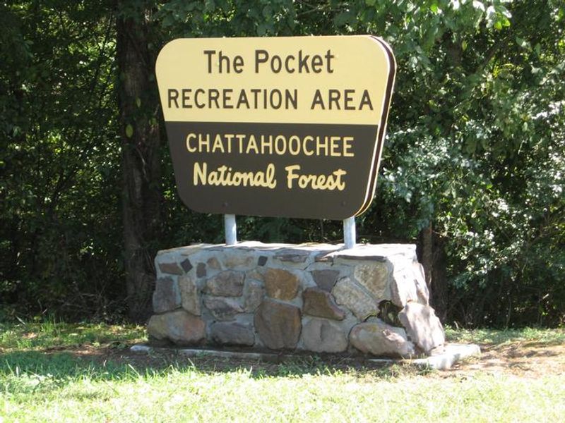
Pocket Campground
Open through October 31. Reservations required via Recreation.gov. Alcohol is prohibited throughout the entire Pocket Recreation Area.
Flood Watch issued July 22 at 8:08PM EDT until July 25 at 12:00AM EDT by NWS Peachtree City GA
* WHAT...Flooding caused by excessive rainfall continues to be possible. * WHERE...Portions of north central, northeast, and northwest Georgia, including the following counties, in north central Georgia, Cherokee, Dawson, Fannin, Forsyth, Gilmer, Hall, Lumpkin, Pickens and Union. In northeast Georgia, Banks, Towns and White. In northwest Georgia, Bartow, Catoosa, Chattooga, Dade, Floyd, Gordon, Murray, Polk, Walker and Whitfield. * WHEN...Through Friday evening. * IMPACTS...Excessive runoff may result in flooding of rivers, creeks, streams, and other low-lying and flood-prone locations. Flooding may occur in poor drainage and urban areas. * ADDITIONAL DETAILS... - Repeated rounds of rainfall along a stalled frontal boundary are likely through late week. An anomalously moist environment over Georgia will support high rain rates and increased chances for flash flooding. Widespread rainfall of 2 to 4 inches will be possible with locally higher amounts of 5 inches or more. Urban areas, and areas with poor drainage, will be the most susceptible to flash flooding. - http://www.weather.gov/safety/flood
About
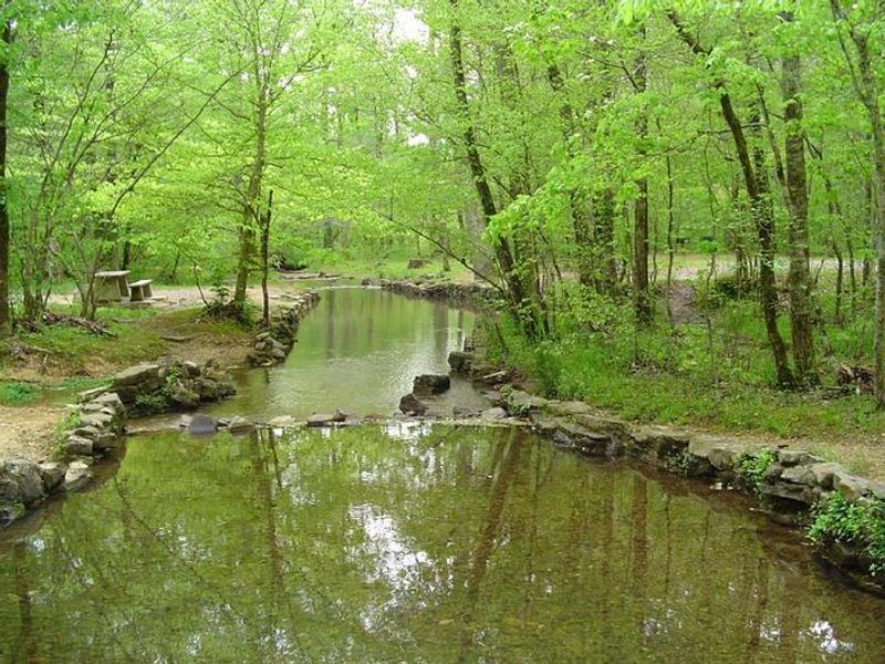
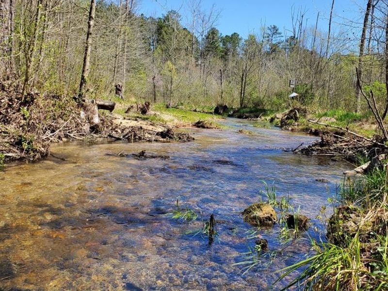
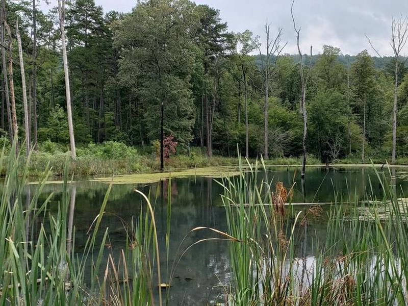
Pocket Campground is located within the Chattahoochee-Oconee National Forest in a distinctive geological area where limestone dissolution created valleys surrounded by iron ore-rich ridges, giving the area its name. The 26-site campground occupies a quiet setting between Horn and Mill Mountains in northwest Georgia's Ridge and Valley Province of the Southern Appalachians. Each campsite includes a paved parking spur, gravel tent pad, fire ring with grill, picnic table, and lantern post. The campground has centrally located flush toilets and water hydrants throughout. Spring Branch, a tributary of Johns Creek, flows through the recreation area providing a cooling respite during summer months. The area is rich in history, having been home to the communities of Pocket and Zone from the mid-1800s until the Great Depression. Between 1938 and 1942, a Civilian Conservation Corps camp operated here, and remnants including foundations, drainage trenches, and a spring box remain visible. Adjacent hiking trails, the Johns Mountain Overlook, Keown Falls, and trout fishing in Johns Creek provide ample recreation opportunities.
Directions
From I-75, take exit 320 (LaFayette/Resaca) west on Georgia Highway 136 for approximately 14 miles. Turn left onto Pocket Road for approximately 7 miles. The recreation area will be on the left.
Nearby Campgrounds
Amenities
| Water | Yes |
| Fires Allowed | Yes |
| Toilets | Yes |
| Dump Station | No |
| Wifi | No |
| Pets Allowed | Yes |
| Showers | No |
| Electric Hookups | — |
| Water Hookups | — |
| Sewer Hookups | — |
| Camp Store | No |
| Price | $15 |
Vehicle
| Max RV Length | 28ft |
| Max Trailer Length | 28ft |
| Big Rig Friendly | No |
| Pull Through Sites | No |
Contact
| Phone | +1 (706) 695-6736 |
Cell Service
| AT&T | None |
| Verizon | None |
| T-Mobile | None |
Useful Links
| View on Recreation.gov | |
| USFS Pocket Recreation Area |
Availability
Photos
Community Posts
No posts yet. Be the first to share your experience!