Rereg Dam Day Use Area Shelter
This is a day-use shelter only; overnight camping is not permitted. The shelter is available for reservation through Recreation.gov for group gatherings and picnics.
About
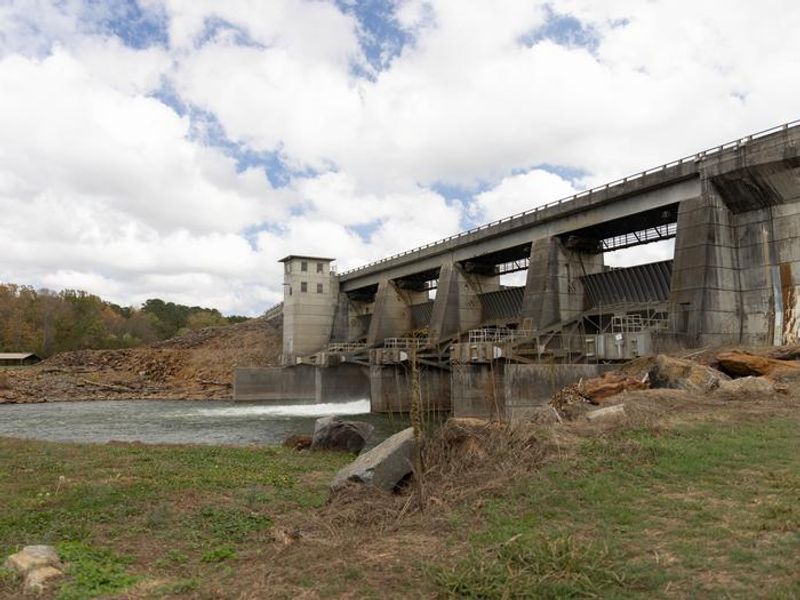
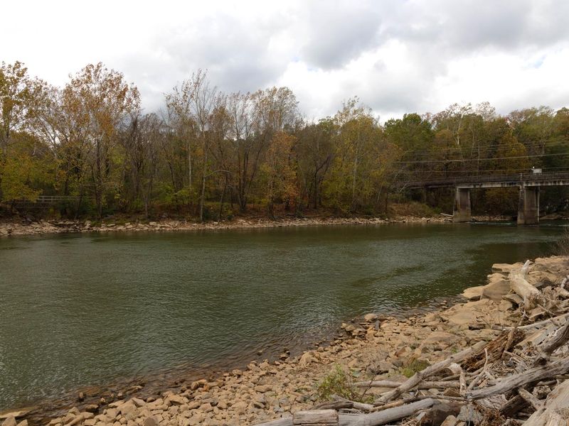
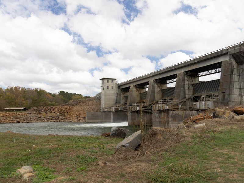
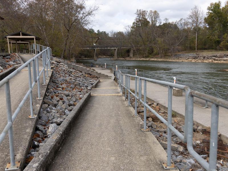
Rereg Dam Day Use Area Shelter is part of the Reregulation Dam Day Use Area, situated below Carters Lake on both sides of the Coosawattee River in the Blue Ridge Mountain foothills of north Georgia. The area is managed by the U.S. Army Corps of Engineers and offers a reservable group shelter (CL-46) that seats up to 100 people, with parking for 50 vehicles. This is a day-use facility, not a campground. Overnight camping is not permitted. The area features picnic sites, restrooms, fishing piers, and direct water access to the Coosawattee River. The South Regulation Area includes an award-winning nature trail with an easy hiking rating suitable for all skill levels. Fishing is the primary activity here, with anglers targeting hybrid bass, striped bass, spotted bass, crappie, walleye, bream, and catfish. The nearby cities of Ellijay and Chatsworth are about 30 minutes away for restaurants, groceries, and fuel.
Directions
From Atlanta: Take Interstate 75 North to Exit 293, turn right onto Georgia Highway 411 North, travel approximately 30 miles. Turn right onto Georgia Highway 136 East, proceed across railroad tracks, then turn left onto Old Highway 411 North. Continue approximately 3/4 mile and turn right into Reregulation Dam Day Use Area.
Nearby Campgrounds
Amenities
| Water | — |
| Fires Allowed | — |
| Toilets | Yes |
| Dump Station | No |
| Wifi | — |
| Pets Allowed | — |
| Showers | No |
| Electric Hookups | — |
| Water Hookups | — |
| Sewer Hookups | — |
| Camp Store | No |
| Price | $50 |
Vehicle
| Max RV Length | — |
| Max Trailer Length | — |
| Big Rig Friendly | — |
| Pull Through Sites | No |
Contact
| Phone | +1 (706) 334-2248 |
Cell Service
| AT&T | Yes |
| Verizon | Yes |
| T-Mobile | None |
Availability
Photos
Community Posts
No posts yet. Be the first to share your experience!