Kirkham
The campground is currently closed for the season. Kirkham typically operates from late May through the end of September. Reservations are available through Recreation.gov. Contact the Lowman Ranger District at 208-259-3361 for off-season information.
Flash Flood Watch issued July 21 at 10:17AM MDT until July 22 at 9:00PM MDT by NWS Boise ID
* WHAT...Flash flooding and debris flows caused by excessive rainfall are possible over the Wapiti Burn Area. * WHERE...In and around the Wapiti Burn Scar in the Boise Mountains, including Highway 21 between Grandjean and Banner Summit, and Grandjean Road. * WHEN...From Wednesday afternoon through Wednesday evening. * IMPACTS...Heavy rainfall over the Wapiti Burn Area is expected during the period of the watch. Those near the Wapiti Burn Area should be prepared for potential flooding impacts. * ADDITIONAL DETAILS... - Heavy rainfall is expected over the Wapiti Burn Area, which may lead to flash flooding and debris flows. - https://www.weather.gov/safety/flood
Weed Free Hay Order 04-2021-03
Prohibited by this order: Possessing, storing, or transporting non-pelletized hay, straw, or mulch in the Intermountain Region, unless it is certified as weed free by the state where the product originated.
Fireworks and Spark Arrestor Order 04-2021-01
Prohibited by this order: Possessing, discharging, or using any kind of firework or other pyrotechnic device. 36 CFR §261.52(t)Operating or using any internal or external combustion engine without a spark arresting device properly installed, maintained and in effective working order as described…
About
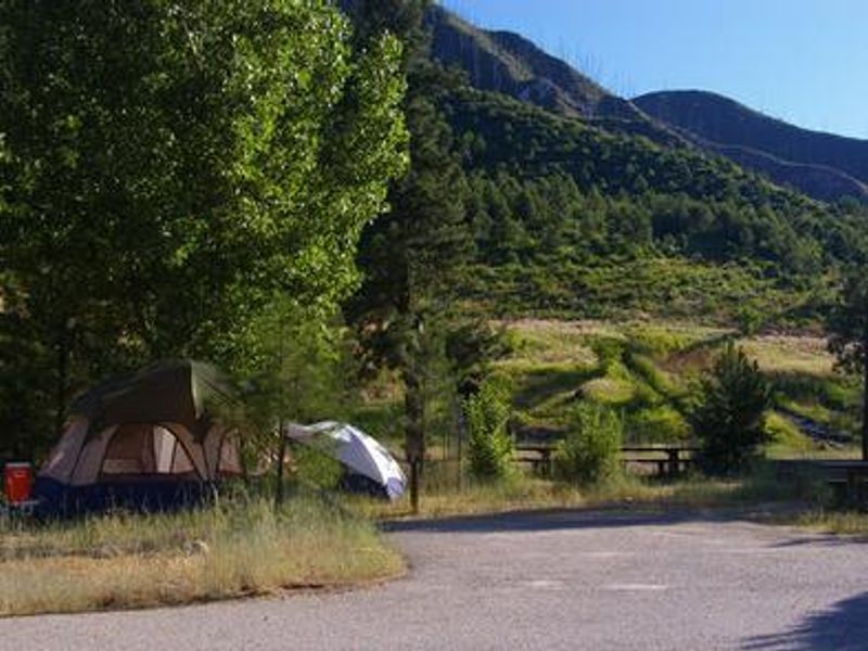
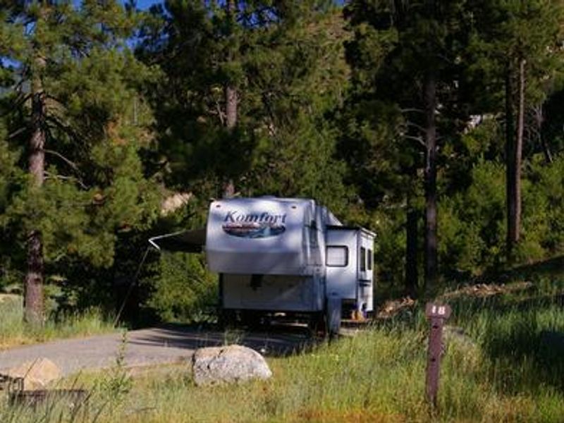
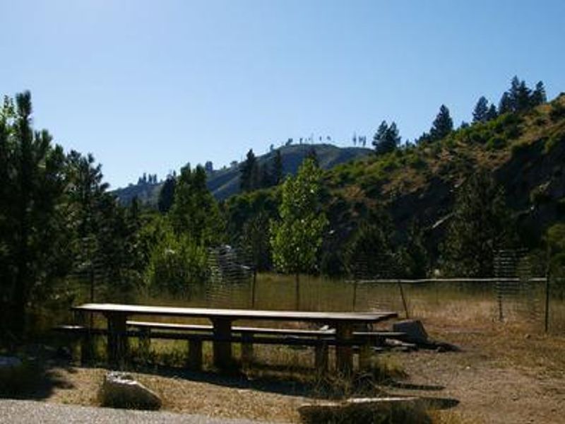
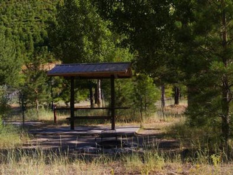
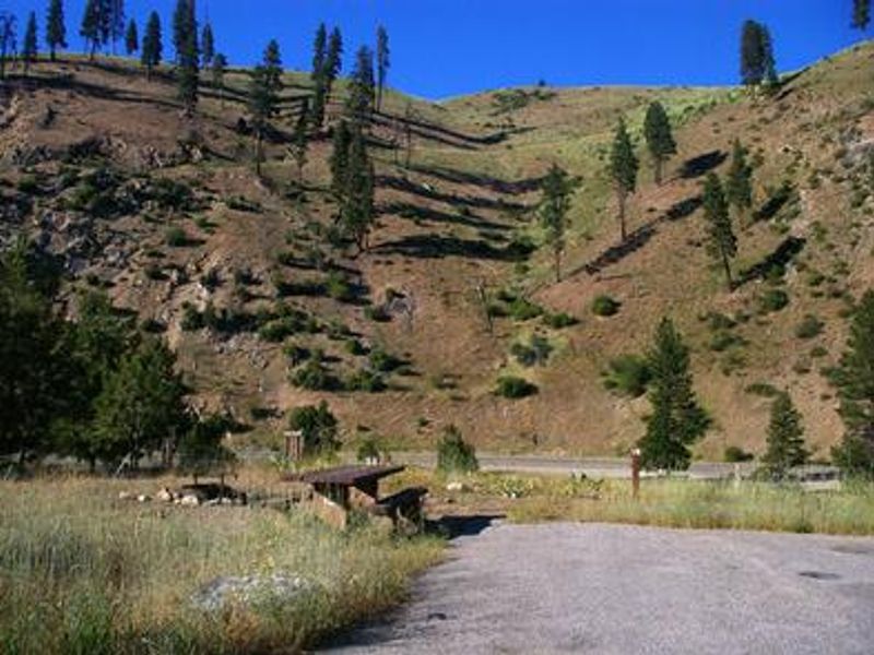
Kirkham Campground is located just east of Lowman, Idaho along Highway 21 at an elevation of 4,000 feet. The campground's main draw is Kirkham Hot Springs, accessible via a trail with staircases leading down to soaking pools and small steaming waterfalls at the river's edge. The South Fork Payette River provides opportunities for whitewater rafting, kayaking, and trout fishing. The campground contains 16 sites including 15 standard nonelectric sites and one double site, all with paved parking spurs. Each site is equipped with a picnic table and campfire ring with grill. Vault toilets, drinking water, and trash collection are provided. All sites are accessible and a campground host is on-site during the operating season. Kirkham Ridge Trail begins less than a quarter-mile away and stretches 35 miles through the area, connecting with many other trails. It is open to hiking, mountain biking, and horses, with sections open seasonally to off-road vehicles. Highway 21 (Ponderosa Pine Scenic Byway) and the Banks-Lowman Highway offer additional scenic drives with hot springs, wildlife viewing, and historical kiosks.
Directions
From Boise, Idaho, take State Highway 55 to Banks. Turn east onto the Banks-Lowman Highway and travel to Lowman. Turn left on Highway 21. The campground is located 5 miles east at milepost 77.
Amenities
| Water | Yes |
| Fires Allowed | Yes |
| Toilets | Yes |
| Dump Station | — |
| Wifi | No |
| Pets Allowed | Yes |
| Showers | No |
| Electric Hookups | — |
| Water Hookups | — |
| Sewer Hookups | — |
| Camp Store | No |
| Price | $30 |
Vehicle
| Max RV Length | 80ft |
| Max Trailer Length | 80ft |
| Big Rig Friendly | No |
| Pull Through Sites | No |
Contact
| Phone | +1 (208) 259-3361 |
Cell Service
| AT&T | None |
| Verizon | None |
| T-Mobile | None |
Availability
Photos

Community Posts
No posts yet. Be the first to share your experience!