Park Creek
Open for the 2026 season from May 19 through September 30. Individual sites are first-come, first-served; group sites require advance reservations via Recreation.gov. After September 30, dispersed camping is allowed but water, trash, and toilet services are unavailable.
Weed Free Hay Order 04-2021-03
Prohibited by this order: Possessing, storing, or transporting non-pelletized hay, straw, or mulch in the Intermountain Region, unless it is certified as weed free by the state where the product originated.
Fireworks and Spark Arrestor Order 04-2021-01
Prohibited by this order: Possessing, discharging, or using any kind of firework or other pyrotechnic device. 36 CFR §261.52(t)Operating or using any internal or external combustion engine without a spark arresting device properly installed, maintained and in effective working order as described…
Explosives and Exploding Target Order 04-2021-02
This order prohibits the use of explosives and exploding targets on National Forest System lands within the Intermountain Region.
About
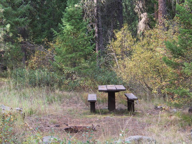
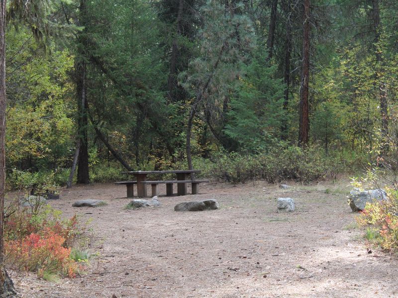
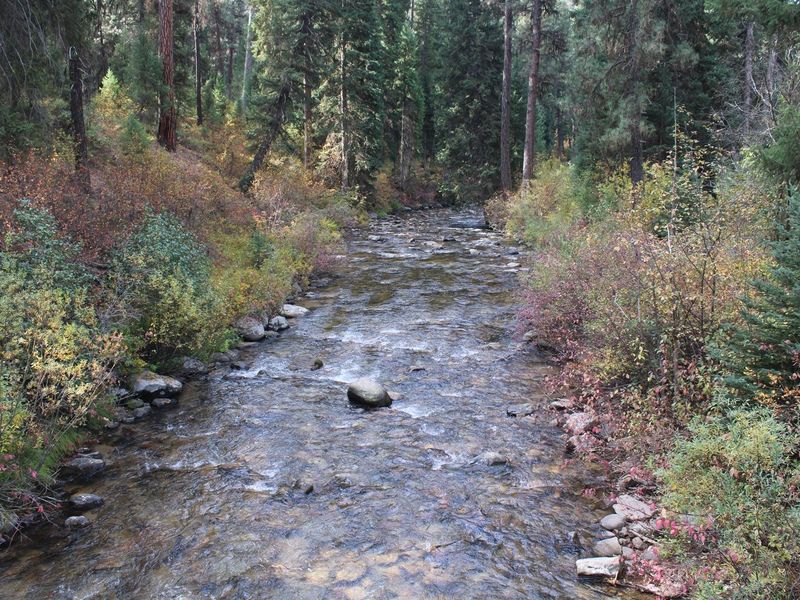
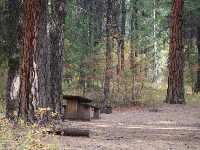
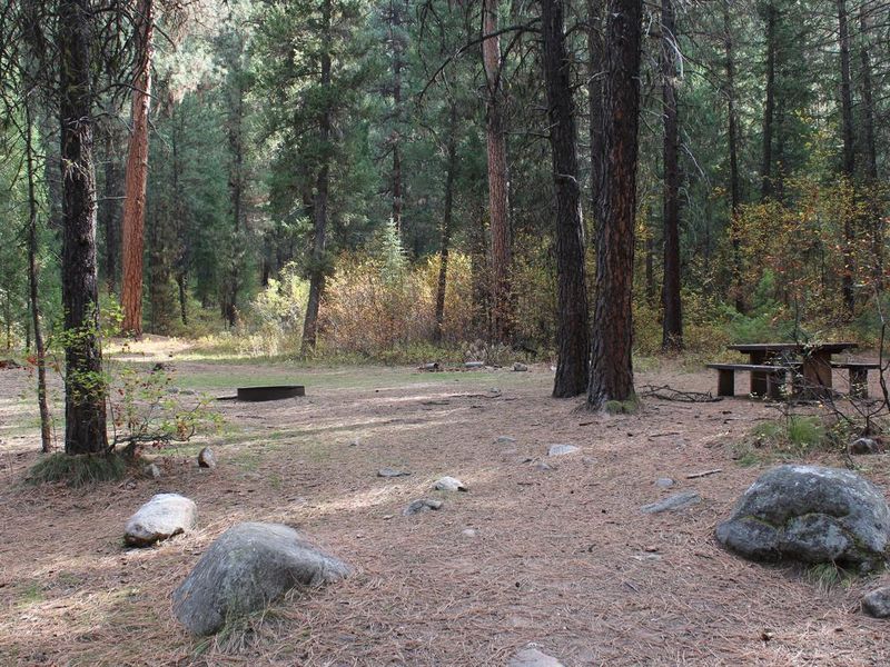
Park Creek Campground is located 4 miles from Lowman, Idaho, tucked away at the confluence of Park and Clear Creeks within the Boise National Forest. The campground is forested with towering Ponderosa pine and Douglas fir trees that provide ample shade throughout the summer months. Wildlife including black bears, deer, and elk inhabit the surrounding area. The campground contains 24 sites divided into two group areas: the Rainbow Group Site (sites 1-12) and the Trout Group Site (sites 13-24). Each group area can accommodate up to 100 people. When not reserved as group sites, individual sites are available first-come, first-served. Facilities include vault toilets, potable drinking water, picnic tables, campfire rings with grills, and trash collection. Roads and parking spurs are dirt. Park Creek and Clear Creek both provide good trout fishing opportunities. Beautiful Bear Valley lies up the road, offering scenic views, wildlife watching, and trail access for hiking, mountain biking, horseback riding, and OHV use. Natural hot springs can be found along the Banks-Lowman Highway (Wildlife Canyon Scenic Byway) and Highway 21 (Ponderosa Pine Scenic Byway). The South Fork and Main Payette Rivers offer whitewater rafting and kayaking.
Directions
From Boise, take Highway 55 to Banks. Turn east and travel Forest Highway 24/Banks-Lowman Highway to Lowman. Turn left onto Highway 21 and immediately turn left onto Forest Road 582/Clear Creek Road. Proceed 3.6 miles to the campground.
Location
Amenities
| Water | Yes |
| Fires Allowed | Yes |
| Toilets | Yes |
| Dump Station | No |
| Wifi | No |
| Pets Allowed | — |
| Showers | No |
| Electric Hookups | — |
| Water Hookups | — |
| Sewer Hookups | — |
| Camp Store | No |
| Price | $100 |
Vehicle
| Max RV Length | 60ft |
| Max Trailer Length | 60ft |
| Big Rig Friendly | — |
| Pull Through Sites | No |
Contact
| Phone | +1 (208) 259-3361 |
Cell Service
| AT&T | None |
| Verizon | None |
| T-Mobile | None |
Availability
Photos
Community Posts
No posts yet. Be the first to share your experience!