Helende
Closed for the season. Opens May 19, 2026 and operates through September 30. Reservations available via Recreation.gov. After the official season ends, dispersed camping is permitted until snow arrives.
Weed Free Hay Order 04-2021-03
Prohibited by this order: Possessing, storing, or transporting non-pelletized hay, straw, or mulch in the Intermountain Region, unless it is certified as weed free by the state where the product originated.
Fireworks and Spark Arrestor Order 04-2021-01
Prohibited by this order: Possessing, discharging, or using any kind of firework or other pyrotechnic device. 36 CFR §261.52(t)Operating or using any internal or external combustion engine without a spark arresting device properly installed, maintained and in effective working order as described…
Explosives and Exploding Target Order 04-2021-02
This order prohibits the use of explosives and exploding targets on National Forest System lands within the Intermountain Region.
About
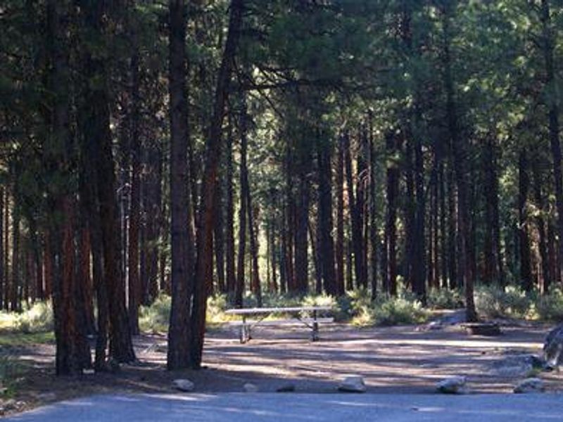
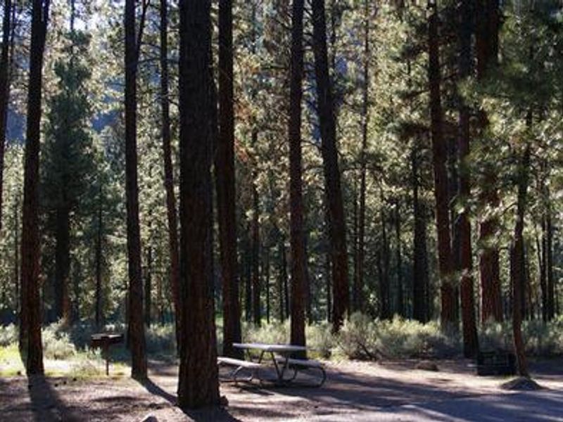
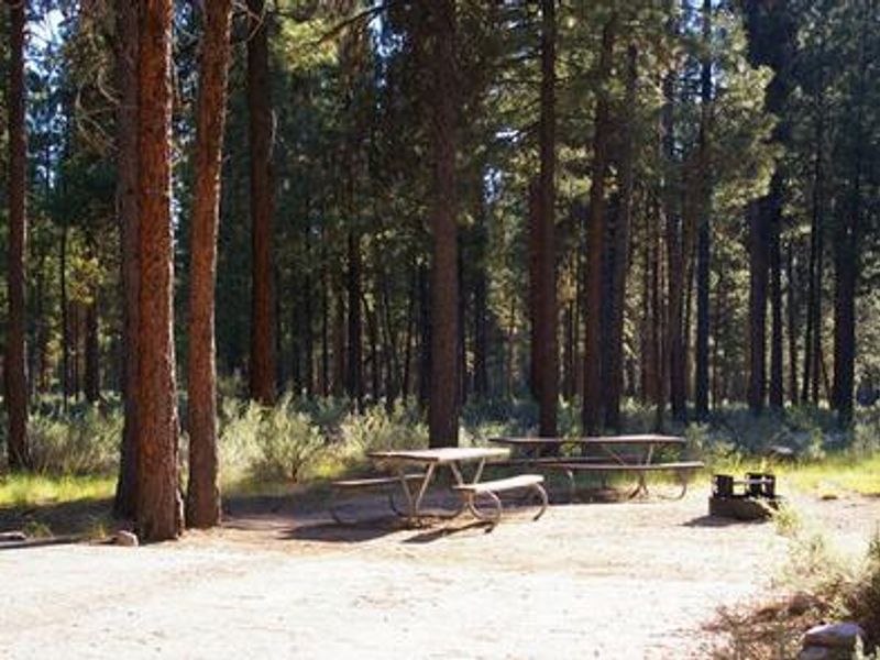
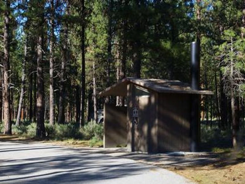
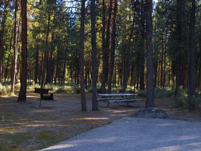
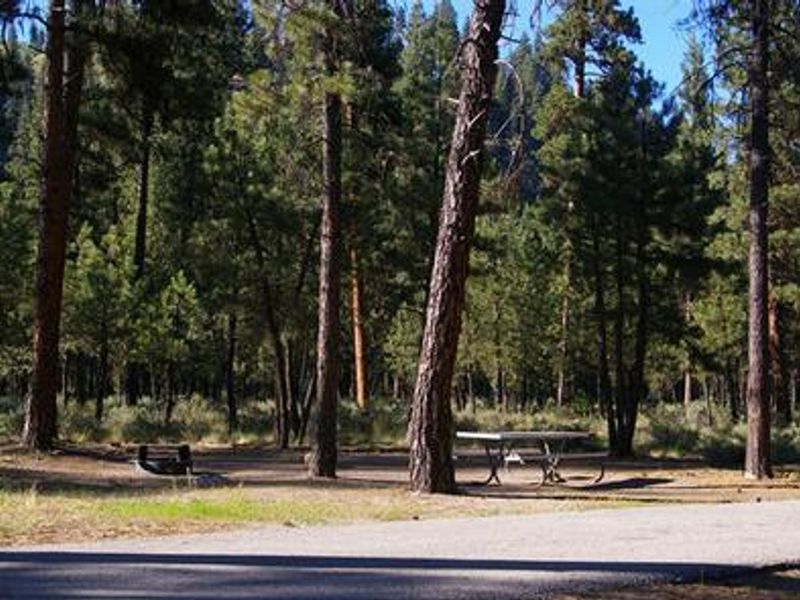
Helende Campground is nestled in a shaded forest of lodgepole and ponderosa pine along Idaho's Highway 21, the Ponderosa Pine Scenic Byway. Located 10 miles east of Lowman at 4,100 feet elevation, the campground offers easy access to the South Fork Payette River, which lies just a few hundred yards away. The river provides outstanding whitewater rafting, kayaking, and trout fishing opportunities. The campground features 10 single-family sites, including one double site, each equipped with a picnic table and campfire ring with grill. Vault toilets, potable drinking water, and trash collection are provided. Sites accommodate tents, trailers, and RVs up to 65 feet. Maximum two vehicles per site; additional vehicles must use the parking lot and pay a $5 fee. Kirkham Hot Springs, one of Idaho's most popular soaking destinations, is less than 5 miles west along Highway 21. The Kirkham Ridge Trail begins nearby and stretches 35 miles through scenic country, connecting with numerous other trails and open to hiking, mountain biking, and horseback riding. Deer and elk are occasionally seen wandering through the campground area.
Directions
From Boise, take State Highway 55 to Banks. Turn east and travel on Forest Highway 24/Banks-Lowman Highway to Lowman. Turn left on Highway 21. Campground is located at milepost 82.
Amenities
| Water | Yes |
| Fires Allowed | Yes |
| Toilets | Yes |
| Dump Station | No |
| Wifi | No |
| Pets Allowed | — |
| Showers | No |
| Electric Hookups | — |
| Water Hookups | — |
| Sewer Hookups | — |
| Camp Store | No |
| Price | $12 |
Vehicle
| Max RV Length | 65ft |
| Max Trailer Length | 65ft |
| Big Rig Friendly | Yes |
| Pull Through Sites | No |
Contact
| Phone | +1 (208) 259-3361 |
Cell Service
| AT&T | None |
| Verizon | None |
| T-Mobile | None |
Availability
Photos
Community Posts
No posts yet. Be the first to share your experience!