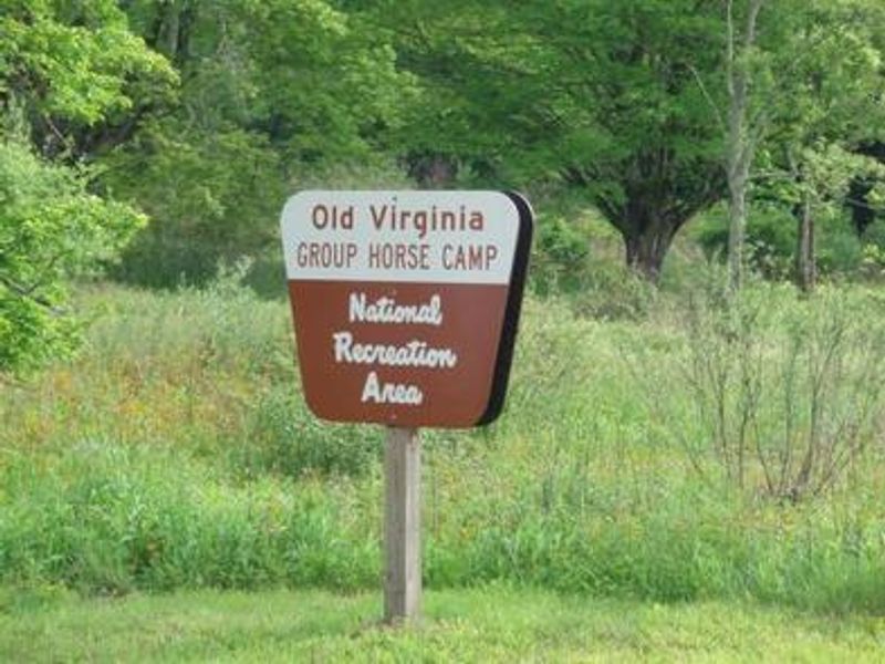
Old Virginia Group Horse Camp
Open seasonally from early April through late November. No potable water available; bring your own drinking water. Horses may drink from the stream. Maximum stay is 14 consecutive nights.
Flood Watch issued October 11 at 12:40AM EDT until October 11 at 8:00PM EDT by NWS Blacksburg VA
* WHAT...Flooding caused by excessive rainfall continues to be possible. * WHERE...Portions of North Carolina, including the following areas, Alleghany NC, Ashe, Surry, Watauga and Wilkes and southwest Virginia, including the following areas, Carroll, Floyd, Grayson and Patrick. * WHEN...Through this evening. * IMPACTS...Excessive runoff may result in flooding of rivers, creeks, streams, and other low-lying and flood-prone locations. Creeks and streams may rise out of their banks. Low-water crossings may be flooded. Storm drains and ditches may become clogged with debris. * ADDITIONAL DETAILS... - As the remnants of Isaias move northward into the lower Ohio Valley, periods of rain will continue. Heavier rainfall will continue in short bursts through the day. Additional rainfall amounts of 1 to 3 inches, along with what has already fallen will keep the threat of flooding around. - http://www.weather.gov/safety/flood
About
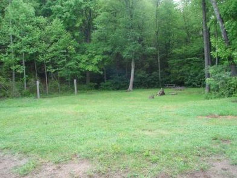
Old Virginia Group Horse Camp offers group equestrian camping in the picturesque Fairwood Valley along a stream that flows into Fox Creek. This primitive campground within the Mount Rogers National Recreation Area can accommodate up to 25 guests and 25 horses, with space for 6 to 15 horse trailers depending on their size. The secluded setting and mountain views create a serene atmosphere for riders. The campground provides easy access to the Virginia Highlands Horse Trail, which connects to the Iron Mountain Trail. From there, riders can access the Virginia Creeper Trail to the west (featuring 33.4 miles of scenery with about 100 trestles and bridges) or the New River Trail to the east. Nearby attractions include Grayson Highlands State Park and Hungry Mother State Park. This is a primitive facility with portable toilets only. No potable water is available; campers must bring their own drinking water, though horses may drink from the stream. Horse owners must have a current negative Coggins test certificate for recreational riding in Virginia. Dogs are permitted but must be leashed (maximum 6 feet).
Directions
Take exit 45 off I-81 at Marion, Virginia. Take Route 16 south for approximately 17 miles to VA 603 at Troutdale. Turn right onto VA 603 (Laurel Valley Road) and drive for about 3 miles to the campground on the right.
Nearby Campgrounds
Amenities
| Water | No |
| Fires Allowed | — |
| Toilets | Yes |
| Dump Station | No |
| Wifi | No |
| Pets Allowed | Yes |
| Showers | No |
| Electric Hookups | — |
| Water Hookups | — |
| Sewer Hookups | — |
| Camp Store | No |
| Price | $50 |
Vehicle
| Max RV Length | — |
| Max Trailer Length | — |
| Big Rig Friendly | — |
| Pull Through Sites | No |
Contact
| Phone | +1 (276) 783-5196 |
Cell Service
| AT&T | None |
| Verizon | None |
| T-Mobile | None |
Availability
Photos
Community Posts
No posts yet. Be the first to share your experience!