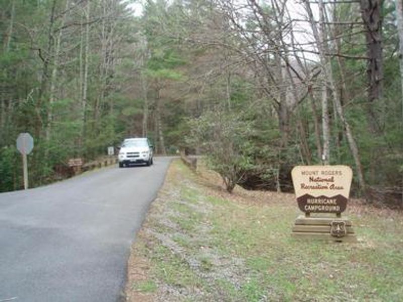
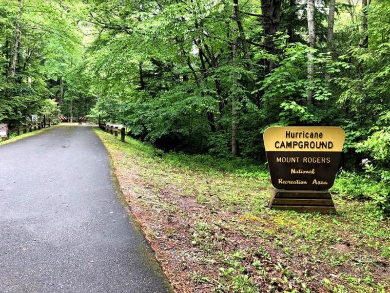
Hurricane Campground
Open mid-April through late October. Gates open 7 a.m. to 10 p.m. Seven sites are reservable through Recreation.gov; remaining sites are first-come, first-served. Maximum stay is 14 consecutive nights.
Wind Advisory issued October 10 at 1:24AM EDT until October 11 at 11:00AM EDT by NWS Blacksburg VA
* WHAT...East winds 15 to 25 mph with gusts up to 55 mph expected. * WHERE...In North Carolina, Ashe and Watauga Counties. In Virginia, Grayson, Smyth, and Tazewell Counties. In West Virginia, Mercer, Summers, and Western Greenbrier Counties. * WHEN...From 5 PM this afternoon to 11 AM EDT Sunday. * IMPACTS...Gusty winds will blow around unsecured objects. Tree limbs could be blown down and a few power outages may result. * ADDITIONAL DETAILS...Strong easterly to southeasterly winds from the remnants of Isaias will move over the region today into Sunday, which may lead to downed trees and power poles and subsequently power outages across higher terrain locations from NW North Carolina to SE West Virginia.
About
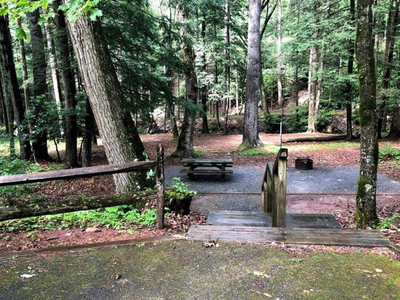
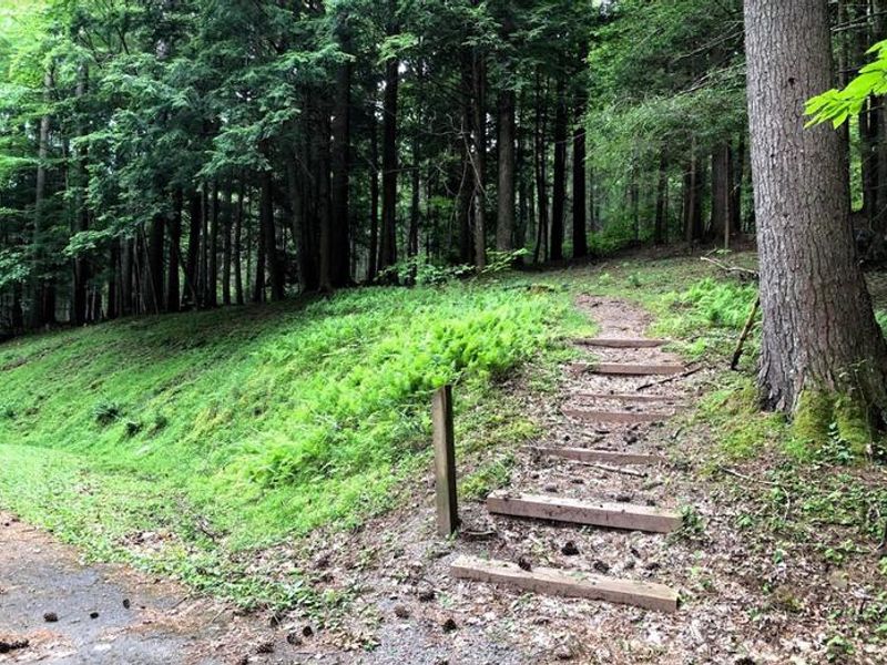
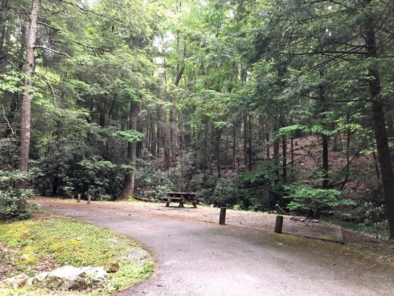
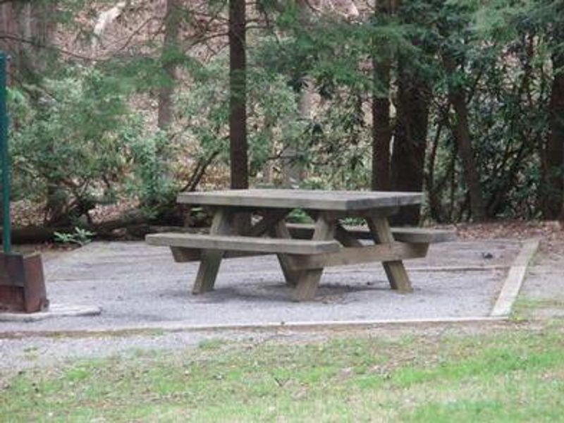
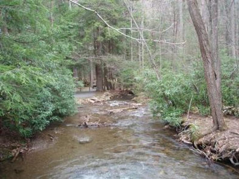
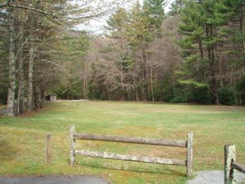
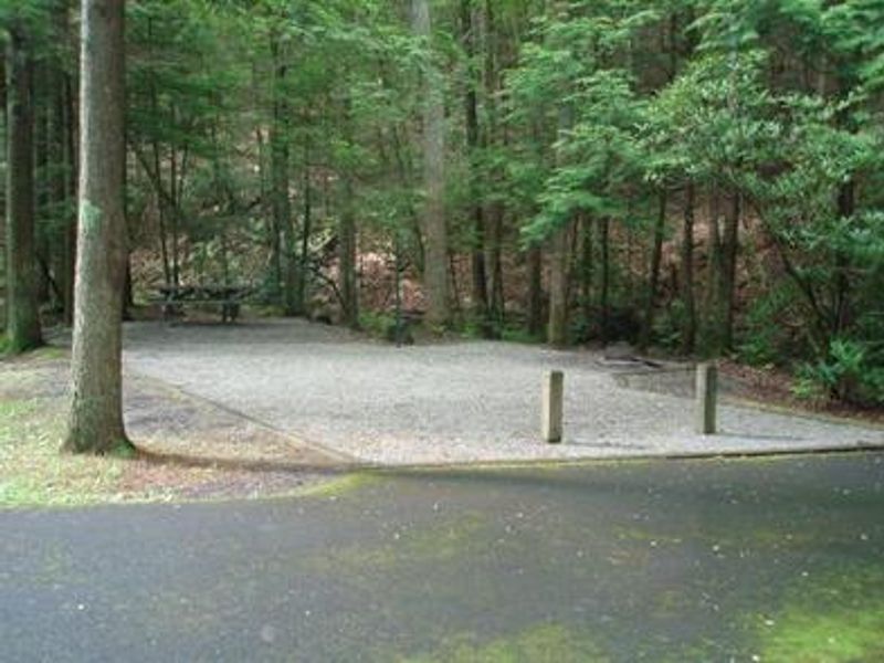
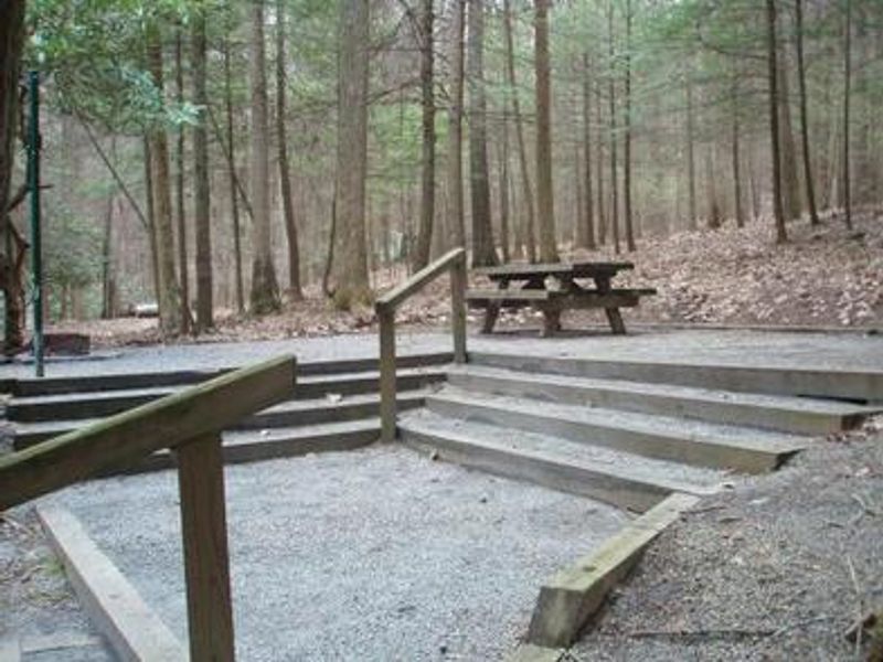
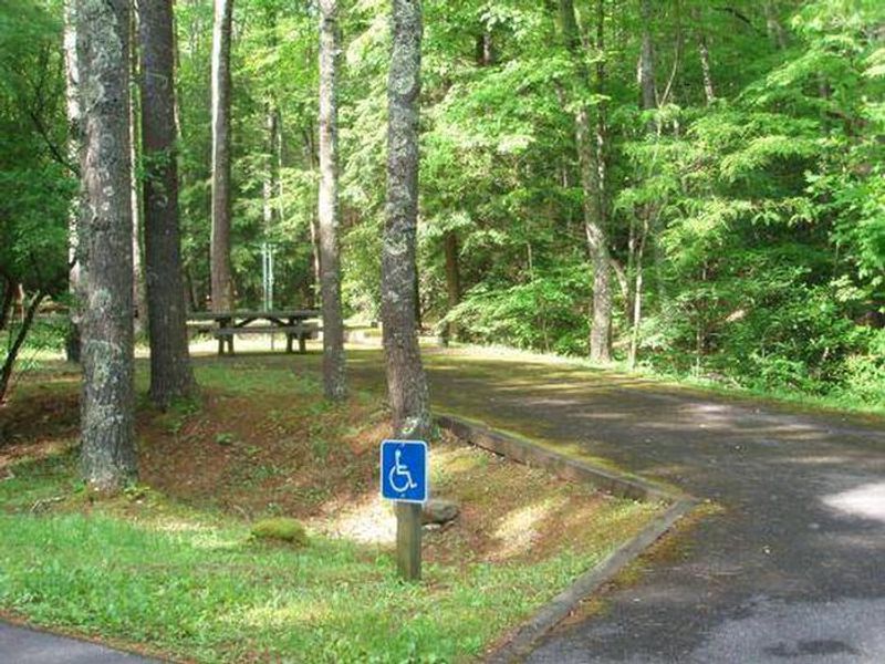
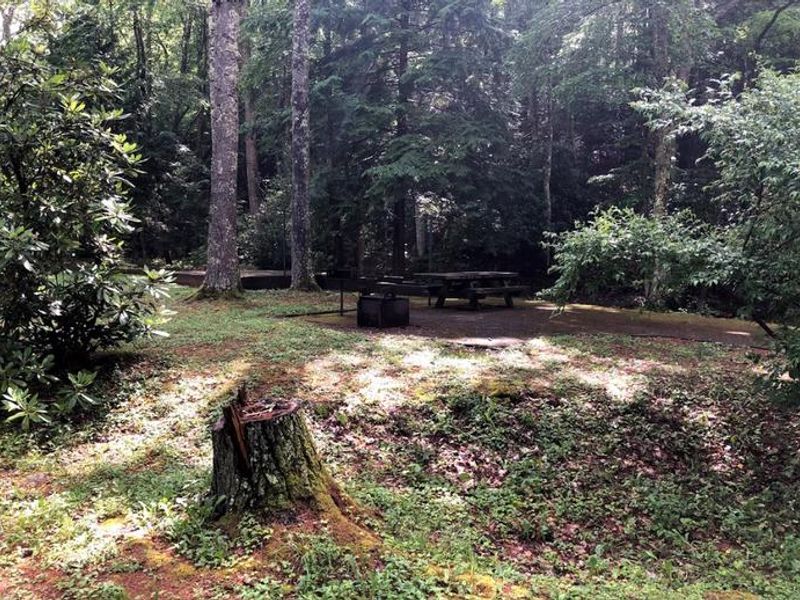
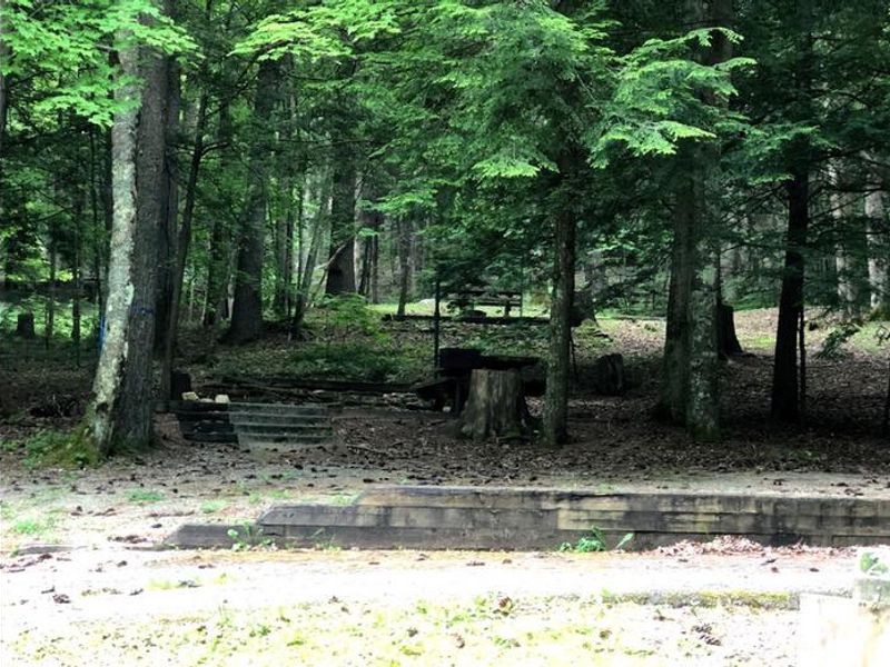
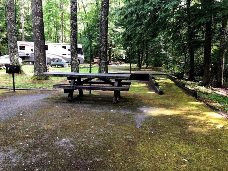
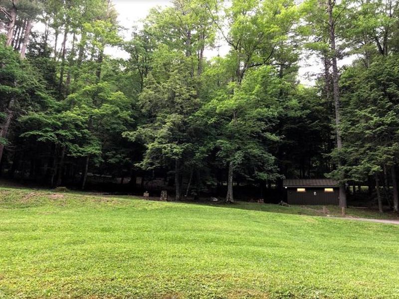
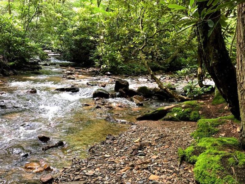
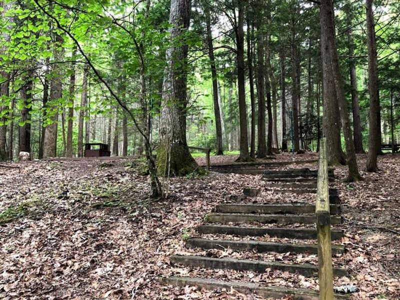
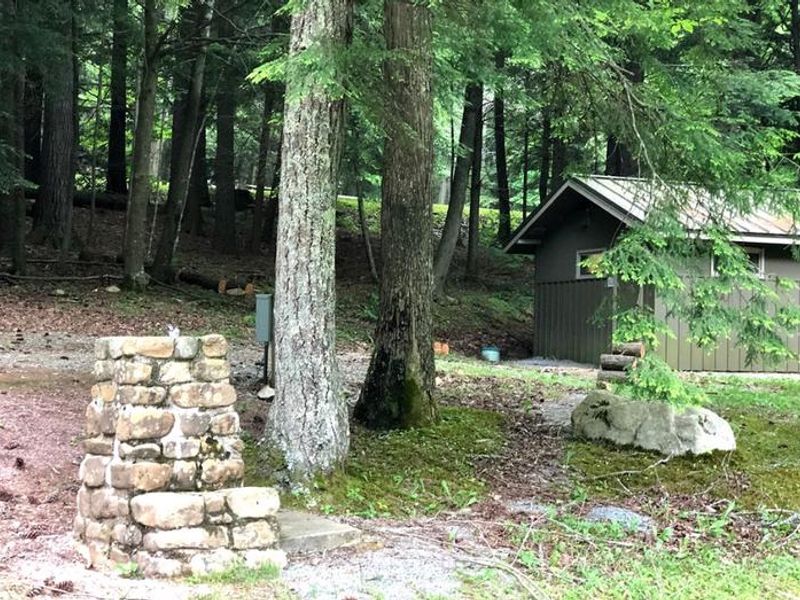
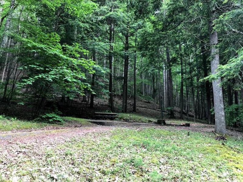
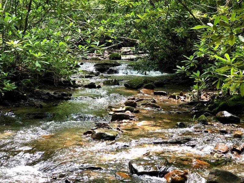
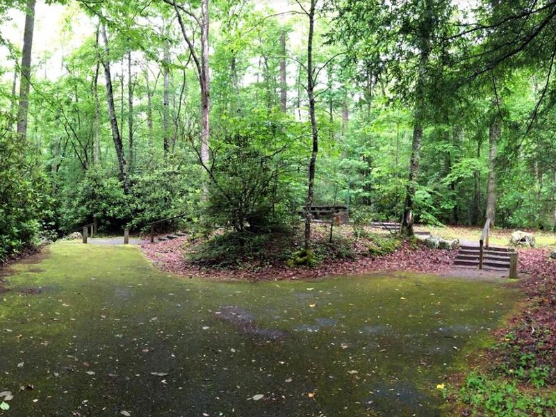
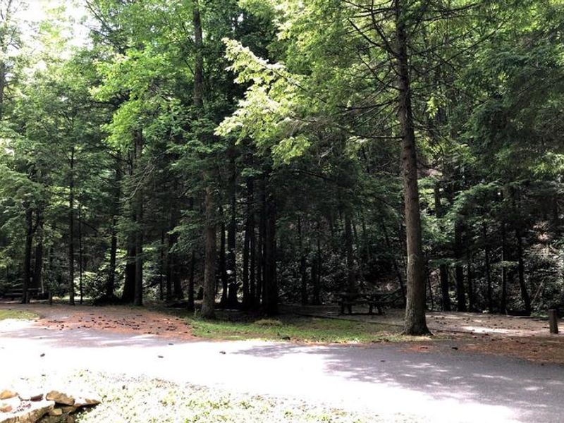
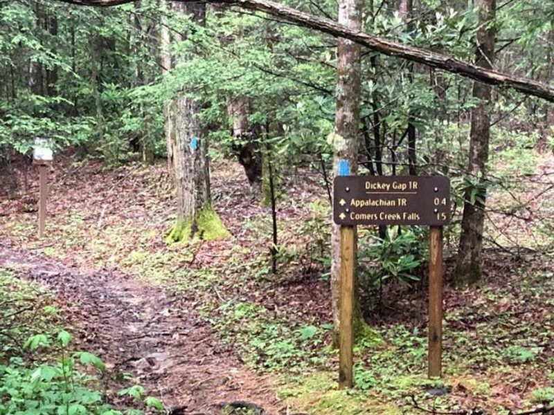
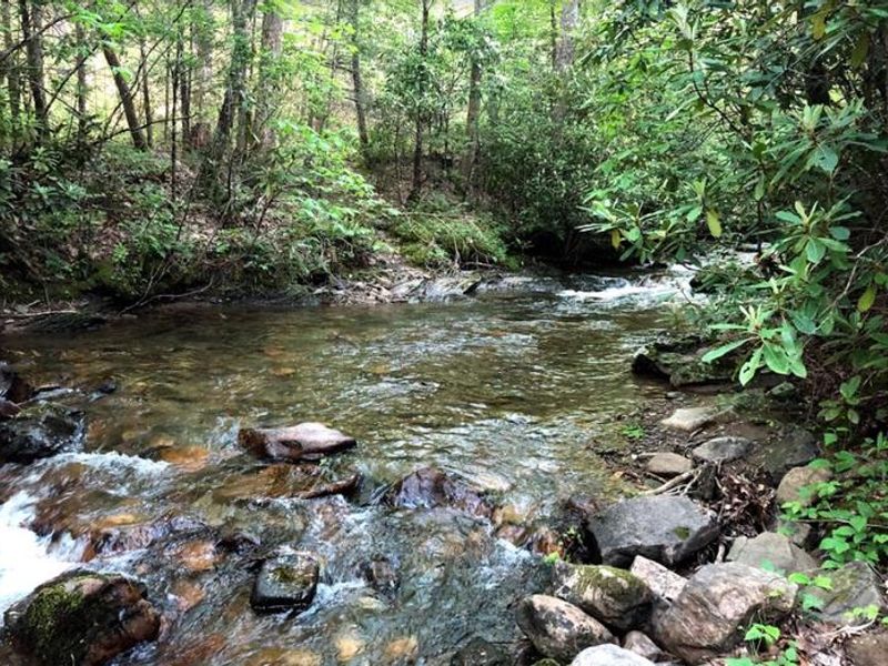
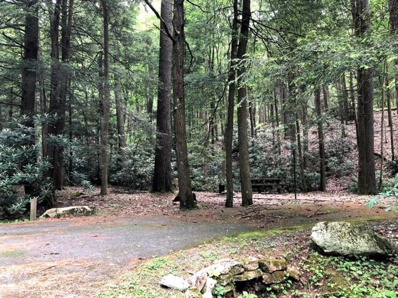
Hurricane Campground sits along rushing Hurricane Branch and Comers Creek in the heart of Mount Rogers National Recreation Area. The 21 sites are shaded by mixed woods of oak and hemlock, with colorful rhododendron throughout. Each site includes a picnic table, fire ring, and lantern pole. The campground features flush toilets, hot showers, and potable water from faucets, plus an open playing field and amphitheater. From camp, hikers can reach the Appalachian Trail within half a mile. The Hurricane Knob Trail offers a scenic 1.1-mile loop that parallels the creek, crosses two wooden bridges, and climbs to Hurricane Knob at elevations between 2,800 and 3,050 feet. Both Hurricane and Comers creeks are stocked with trout. The campground is not recommended for RVs longer than 30 feet due to road turn ratios on the approach. Seven sites accept reservations through Recreation.gov while the remainder are first-come, first-served via Scan & Pay.
Directions
From I-81: Take Marion exit 45 onto Virginia State Route 16 South. Follow SR 16 for 15 miles to SR 650 (five miles south of Sugar Grove). Turn right on paved SR 650 and follow it for two miles to the paved campground entrance road. Do not rely on GPS.
Nearby Campgrounds
Amenities
| Water | Yes |
| Fires Allowed | Yes |
| Toilets | Yes |
| Dump Station | — |
| Wifi | — |
| Pets Allowed | Yes |
| Showers | Yes |
| Electric Hookups | — |
| Water Hookups | — |
| Sewer Hookups | — |
| Camp Store | — |
| Price | $20 |
Vehicle
| Max RV Length | 110ft |
| Max Trailer Length | 110ft |
| Big Rig Friendly | No |
| Pull Through Sites | No |
Contact
| sm.fs.mrnra@usda.gov | |
| Phone | +1 (276) 783-5196 |
Cell Service
| AT&T | None |
| Verizon | None |
| T-Mobile | None |
Availability
Photos
Community Posts
No posts yet. Be the first to share your experience!