Closed for the entire 2026 season due to replacement of aging infrastructure. No camping, parking, or day-use facilities are available. Alternative parking is available at Fox Creek Horse Campground and Mount Rogers Trailhead for trail access.
From Recreation.gov
Grindstone Campground and its parking area will be closed for the 2026 Season. This closure is due to the replacement of aging infrastructure at Grindstone. Alternative parking * Across from Fox Creek Horse Campground 36.696628, -81.5326411 * At the Mount Rogers Trailhead 36.689230, -81.532605 Please visit [https://www.fs.usda.gov/activity/gwj/recreation/camping-cabins/][1] for information and updates on camping in the Mount Rogers National Recreation Area and the George Washington & Jefferson National Forest. [1]: https://www.fs.usda.gov/activity/gwj/recreation/camping-cabins/
About
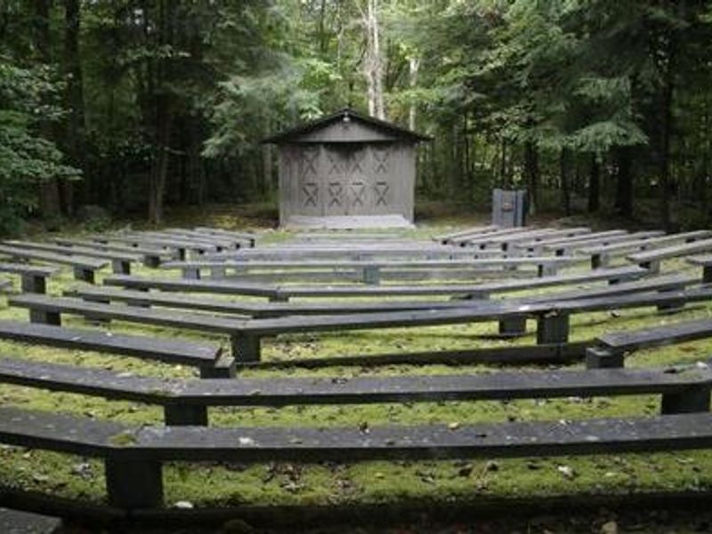
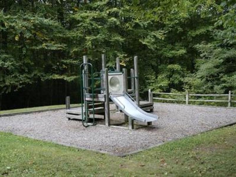
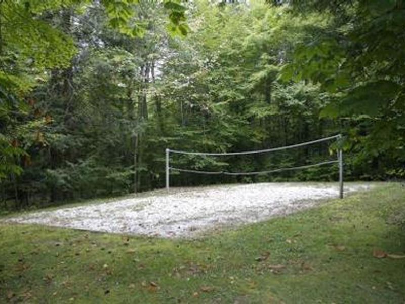
Located within the 200,000-acre Mount Rogers National Recreation Area, Grindstone Campground offers a cool retreat from summer heat at 3,800 feet elevation. The campground is nestled in Fairwood Valley surrounded by mixed hardwoods, hemlock, and rhododendrons, with open pastures and wooded hillsides creating diverse habitat for excellent birding. The area provides outstanding recreation including hiking, mountain biking, horseback riding, and hunting. The Mount Rogers Trail departs directly from the campground, covering 7.5 miles to the summit of Virginia's highest peak. The gentle Whispering Waters Nature Trail offers a 0.6-mile interpretive loop. Multiple streams pass near the campground with plentiful trout fishing opportunities. Family amenities include a creek water play area, amphitheater for ranger programs, playground, and volleyball courts. Each campsite features a parking spur, lantern post, fire grill with cooking grate, and picnic table. The Mount Rogers Scenic Byway, traversing 50+ miles of forestland and rural countryside, is accessible nearby.
Directions
From Marion, Virginia, take exit 45 to Highway 16 south. Continue for 17 miles, then turn right onto Highway 603. After 6 miles, turn left into the Grindstone Campground entrance. Alternative from I-81 northbound: Take exit 35 at Chilhowie, turn right onto County Road 762 and travel approximately 10 miles (becomes CR 600 at the blinking yellow light), then turn left onto State Route 603 and continue 5 miles to the entrance on the right.
Nearby Campgrounds
Amenities
| Water | No |
| Fires Allowed | Yes |
| Toilets | Yes |
| Dump Station | No |
| Wifi | — |
| Pets Allowed | Yes |
| Showers | No |
| Electric Hookups | — |
| Water Hookups | — |
| Sewer Hookups | — |
| Camp Store | — |
| Price | $24 - $36 |
Vehicle
| Max RV Length | 110ft |
| Max Trailer Length | 110ft |
| Big Rig Friendly | — |
| Pull Through Sites | No |
Contact
| sm.fs.mrnra@usda.gov | |
| Phone | +1 (276) 783-5196 |
Cell Service
| AT&T | None |
| Verizon | None |
| T-Mobile | None |
Availability
Photos
Community Posts
No posts yet. Be the first to share your experience!