Fox Creek Horse Camp
Open for the 2026 season from early April through late November. First-come, first-served. No potable water available; campers must bring their own water supply.
Flood Watch issued October 11 at 12:40AM EDT until October 11 at 8:00PM EDT by NWS Blacksburg VA
* WHAT...Flooding caused by excessive rainfall continues to be possible. * WHERE...Portions of North Carolina, including the following areas, Alleghany NC, Ashe, Surry, Watauga and Wilkes and southwest Virginia, including the following areas, Carroll, Floyd, Grayson and Patrick. * WHEN...Through this evening. * IMPACTS...Excessive runoff may result in flooding of rivers, creeks, streams, and other low-lying and flood-prone locations. Creeks and streams may rise out of their banks. Low-water crossings may be flooded. Storm drains and ditches may become clogged with debris. * ADDITIONAL DETAILS... - As the remnants of Isaias move northward into the lower Ohio Valley, periods of rain will continue. Heavier rainfall will continue in short bursts through the day. Additional rainfall amounts of 1 to 3 inches, along with what has already fallen will keep the threat of flooding around. - http://www.weather.gov/safety/flood
About
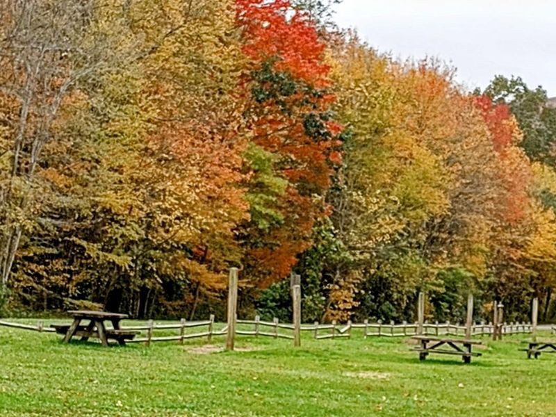
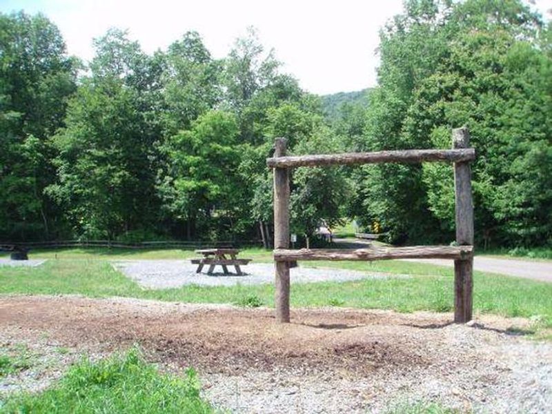
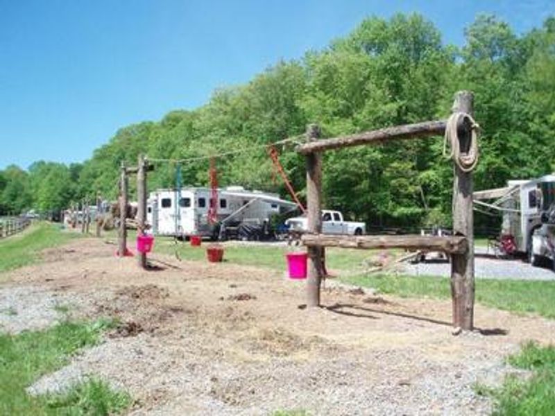
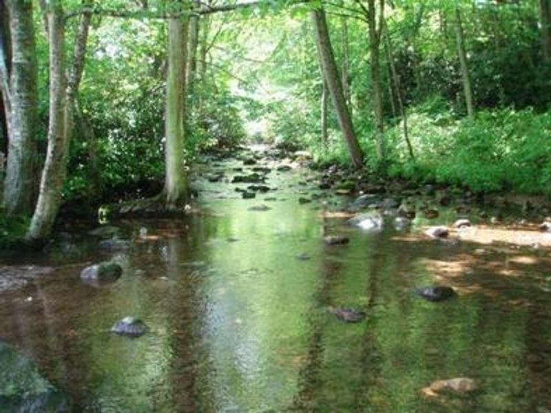
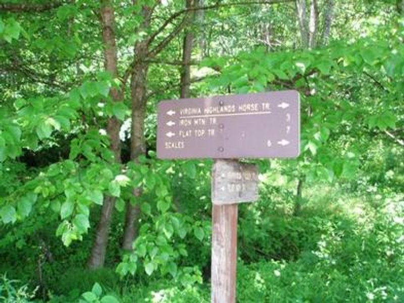
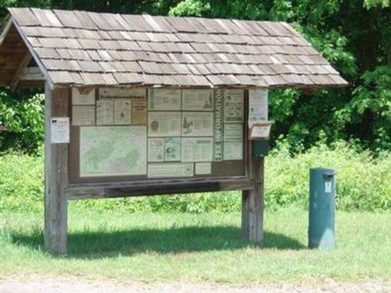
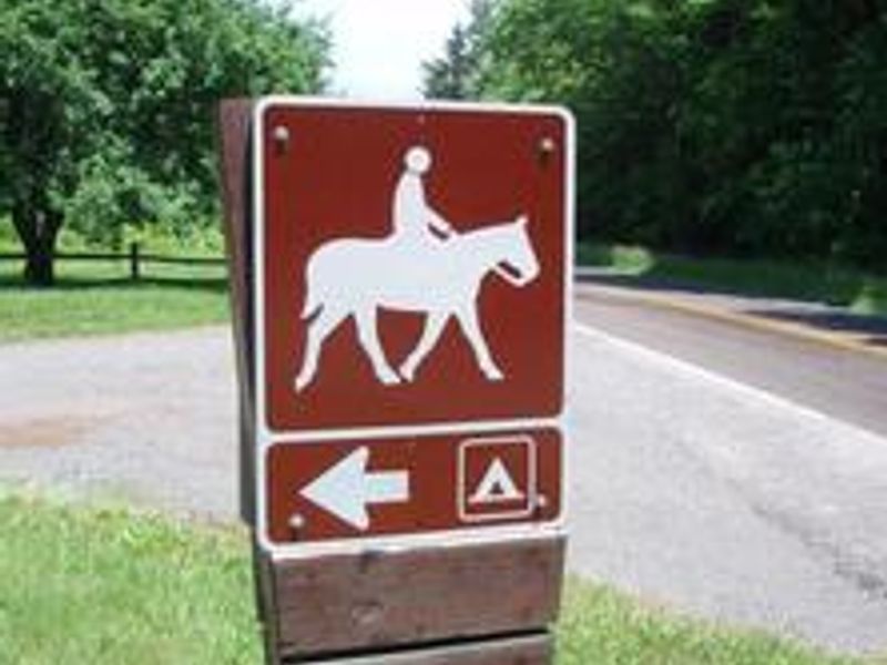
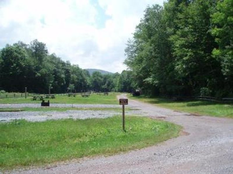
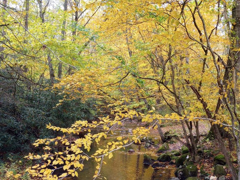
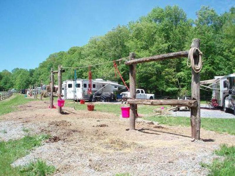
Fox Creek Horse Camp is a premier destination for riding enthusiasts seeking the rare opportunity to ride from their campsite onto hundreds of miles of trails in the Mount Rogers National Recreation Area. Situated at nearly 4,000 feet elevation, the campground offers a welcome retreat for summer camping and horseback riding in Virginia's highest terrain. The 21 equestrian nonelectric sites are located in open fields on either side of Fox Creek, a small rocky trout stream with large boulders, rhododendron, and northern hardwoods along its banks. The Mount Rogers High Country offers opportunities for day trips and overnight pack trips with expansive views, summer rhododendron blooms, blueberry picking, and spectacular fall colors. Beyond horseback riding, the area features ample native trout streams, the Mount Rogers Scenic Byway, the Appalachian Trail, and the Virginia Creeper National Recreation Trail. Horse owners must have a current negative Coggins test certificate for any horse taken to public places in Virginia. No alcoholic beverages are permitted.
Directions
From I-81, take exit 45 at Marion, VA. Take State Route 16 south for 17 miles to Troutdale, VA. Turn right onto State Route 603 (Laurel Valley Road) and follow it for approximately 4 miles to the campground on the right.
Nearby Campgrounds
Amenities
| Water | No |
| Fires Allowed | — |
| Toilets | Yes |
| Dump Station | — |
| Wifi | No |
| Pets Allowed | Yes |
| Showers | — |
| Electric Hookups | — |
| Water Hookups | — |
| Sewer Hookups | — |
| Camp Store | — |
| Price | $5 |
Vehicle
| Max RV Length | — |
| Max Trailer Length | — |
| Big Rig Friendly | No |
| Pull Through Sites | No |
Contact
| sm.fs.mrnra@usda.gov | |
| Phone | +1 (800) 628-7202 |
Cell Service
| AT&T | None |
| Verizon | None |
| T-Mobile | None |
Availability
Photos
Community Posts
No posts yet. Be the first to share your experience!