Obsidian Flat
Closed for the season. Typically opens around June 15, depending on snow conditions, through September 30. Reservations are available through Recreation.gov.
Flood Watch issued July 20 at 12:17PM PDT until July 21 at 11:00PM PDT by NWS Reno NV
* WHAT...Flash flooding caused by excessive rainfall is possible due to thunderstorms. * WHERE...Portions of east central California, including the following area, Mono County and western Nevada, including the following area, Mineral and Southern Lyon Counties. * WHEN...From Tuesday afternoon through Tuesday evening. * IMPACTS...Excessive runoff may result in flooding of creeks, streams, urban areas, burn scars, and areas near steep terrain. * ADDITIONAL DETAILS... - Deeper monsoonal moisture combined with daytime heating will produce scattered thunderstorms each afternoon and evening through Tuesday. Slower moving storms could redevelop over similar areas, increasing the risk for heavy rainfall capable of producing flash flooding. - http://www.weather.gov/safety/flood
Flood Watch issued July 20 at 12:17PM PDT until July 20 at 11:00PM PDT by NWS Reno NV
* WHAT...Flash flooding caused by excessive rainfall is possible due to thunderstorms. * WHERE...Portions of east central California, including the following area, Mono County and western Nevada, including the following area, Mineral and Southern Lyon Counties. * WHEN...From Tuesday afternoon through Tuesday evening. * IMPACTS...Excessive runoff may result in flooding of creeks, streams, urban areas, burn scars, and areas near steep terrain. * ADDITIONAL DETAILS... - Deeper monsoonal moisture combined with daytime heating will produce scattered thunderstorms each afternoon and evening through Tuesday. Slower moving storms could redevelop over similar areas, increasing the risk for heavy rainfall capable of producing flash flooding. - http://www.weather.gov/safety/flood
National Forest System Roads
Follow California Vehicle Code on National Forest System Roads
About
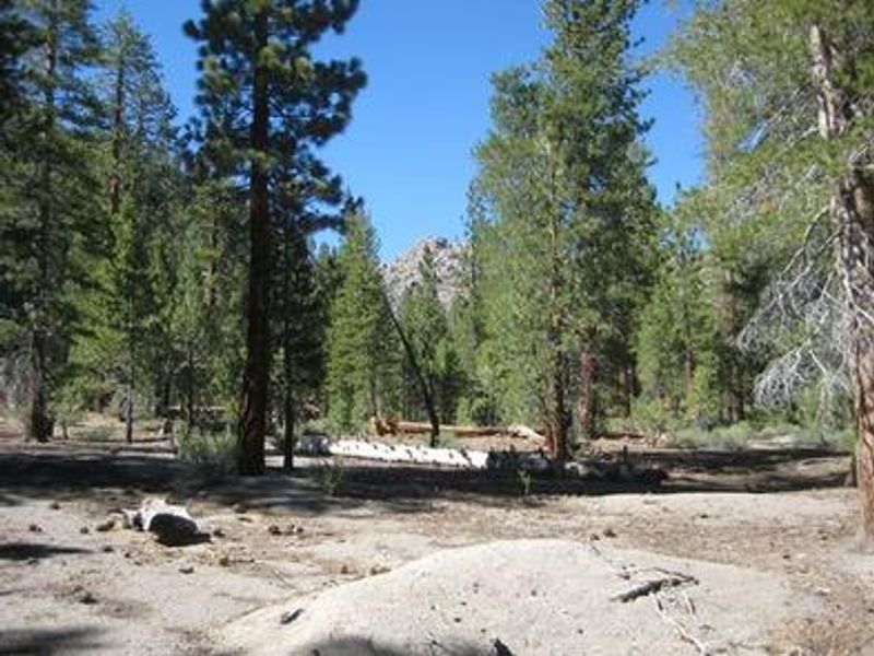
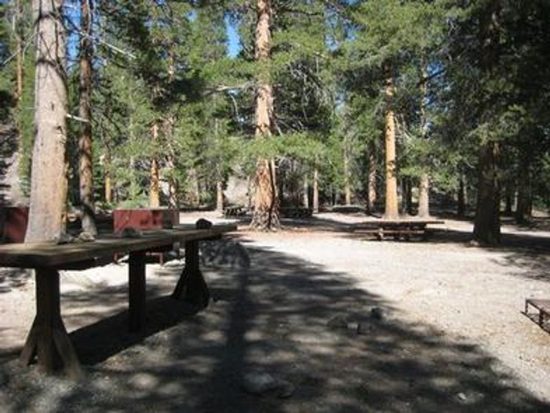
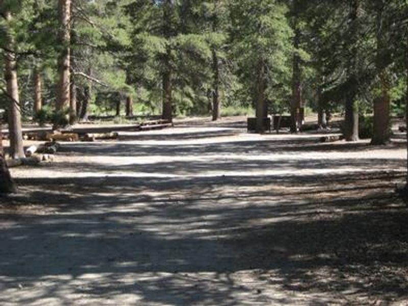
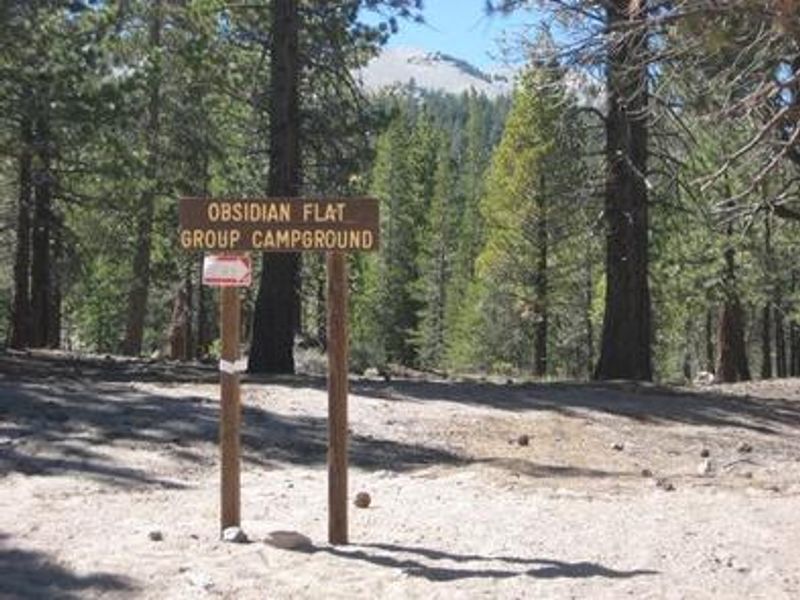
Obsidian Flat Group Campground is a secluded group site in the Inyo National Forest, named after a nearby obsidian lava flow. Situated at 7,800 feet in a pine forest near Mammoth Lakes, California, the campground offers mountain views and a peaceful setting adjacent to Deadman Creek. The single large group site can accommodate up to 50 people with space for five RVs up to 40 feet in length or 15 vehicles total. The site is fairly primitive, equipped with a vault toilet, picnic table, campfire ring, and bear-proof locker for food storage. No potable water is available, so campers must bring their own supply. Strict food storage rules apply due to bear activity in the area. Access is controlled by a security gate; the combination is provided in your reservation confirmation letter. The area provides excellent opportunities for fishing in Deadman Creek, hiking trails including access to the Ansel Adams Wilderness, mountain biking, and off-road vehicle riding. Yosemite National Park makes a great day trip from the campground.
Directions
From U.S. Highway 395 and State Highway 203 (Mammoth Lakes Junction), travel 8.2 miles north on 395. Turn west onto Deadman Road and follow for 3.2 miles to Upper Deadman Campground. Turn toward the Group Campground turnoff onto FS Road 2S05F. Continue one mile to the campground on the right.
Location
Amenities
| Water | No |
| Fires Allowed | Yes |
| Toilets | Yes |
| Dump Station | — |
| Wifi | No |
| Pets Allowed | Yes |
| Showers | No |
| Electric Hookups | — |
| Water Hookups | — |
| Sewer Hookups | — |
| Camp Store | No |
| Price | $20 |
Vehicle
| Max RV Length | 40ft |
| Max Trailer Length | 30ft |
| Big Rig Friendly | Yes |
| Pull Through Sites | No |
Contact
| Phone | +1 (760) 924-5500 |
Cell Service
| AT&T | Yes |
| Verizon | Yes |
| T-Mobile | None |
Availability
Photos
Community Posts
No posts yet. Be the first to share your experience!