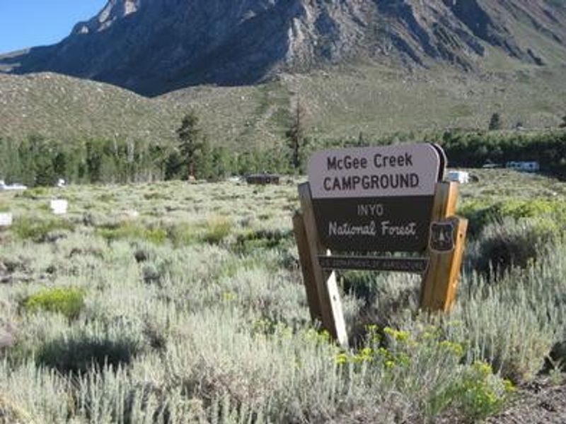
Mcgee Creek
Closed for the 2026 season until further notice due to wildfire damage. The Forest Service hopes to reopen later in 2026 if conditions allow.
Fire Weather Watch issued October 8 at 11:40AM PDT until October 10 at 9:00PM PDT by NWS Reno NV
* AFFECTED AREA...Fire Weather Zones 274 Southern Mono County, 420 Northern Sierra Front including Carson City, Douglas, Storey, Southern Washoe, Western Lyon, and Far Southern Lassen Counties, 421 Southern Sierra Front including Alpine, Northern Mono, Southern Lyon, and Western Mineral Counties, 423 West Humboldt Basin in Pershing County, and 429 Lahontan Basin including Churchill and Eastern Mineral Counties. * TIMING...From Saturday morning through Saturday evening. * WINDS...Southwest winds 15 to 25 mph with gusts 35 to 45 mph. * RELATIVE HUMIDITY...Minimum Humidity between 14 to 22 percent. * DURATION...3 to 6 hours. * IMPACTS...The combination of gusty winds and prolonged dry conditions, even in areas where humidity may not be as low, can cause fires to rapidly grow in size and intensity before first responders can contain them.
Lake Wind Advisory issued October 8 at 11:45AM PDT until October 10 at 11:00PM PDT by NWS Reno NV
* WHAT...Southwest winds 15 to 25 mph with gusts up to 40 mph. * WHERE...In California, Mono County. In Nevada, Mineral and Southern Lyon Counties. * WHEN...From 11 AM to 11 PM PDT Saturday. * IMPACTS...Gusty winds and rough waves on area lakes will create hazardous conditions for small craft.
From Recreation.gov
McGee Creek Campground will be closed in 2026 until further notice due to wildfire damage. We sincerely apologize for any inconvenience this may cause and hope to be able to open at a later date in 2026 if possible.
About
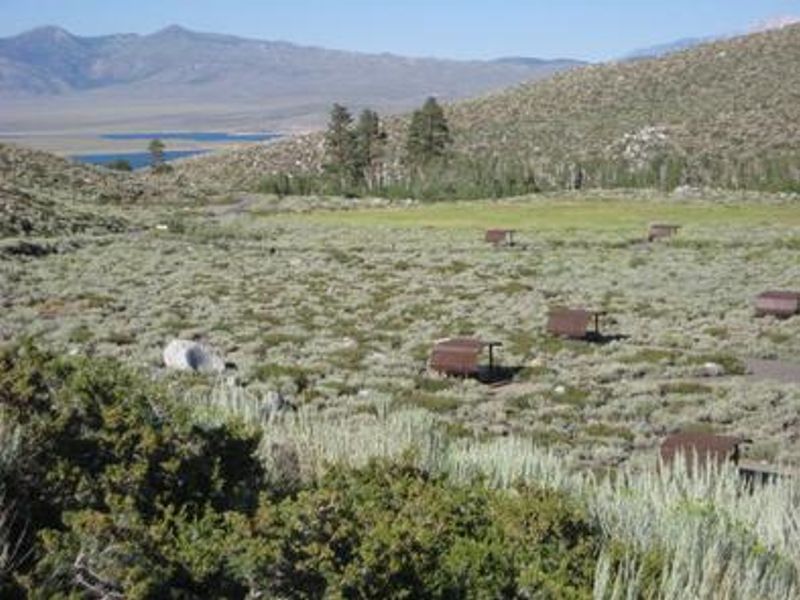
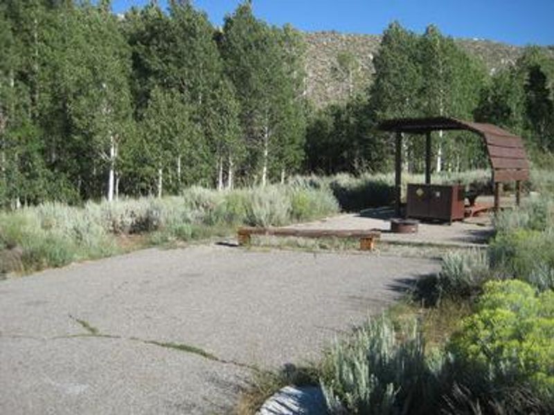
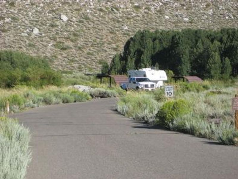
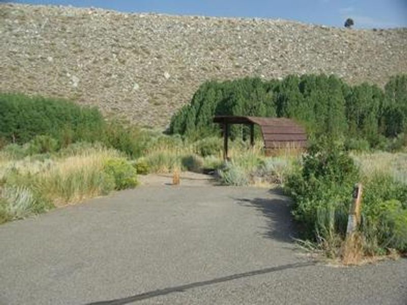
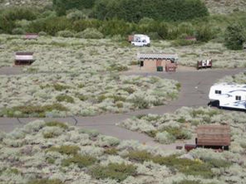
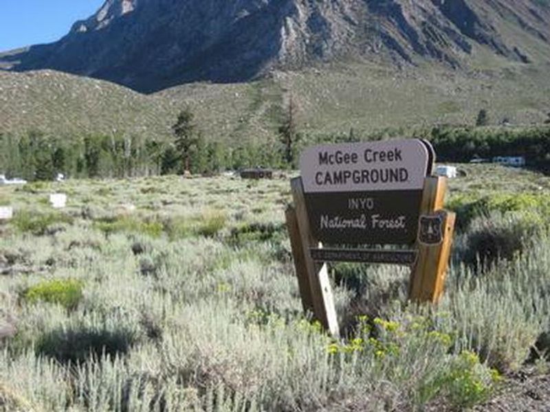
McGee Creek Campground sits at 7,600 feet elevation in an expanse of silvery white sagebrush, offering outstanding views of the high peaks of the John Muir Wilderness. The campground provides 28 sites, each equipped with a shade pavilion to compensate for the sparse tree cover. McGee Creek flows alongside the campground, with several sites positioned directly on its banks. The location serves as an ideal jumping-off point for exploring the McGee Canyon area. The McGee Creek Trailhead, popular for hiking and horseback riding into the John Muir Wilderness, lies just 2 miles away. Crowley Lake, renowned for exceptional trout fishing, is 4 miles from camp. The eastern Sierra offers world-class opportunities for rock climbing, wildlife viewing, photography, and geology study. The campground is accessible via paved roads from U.S. Highway 395, making it convenient for travelers along the eastern Sierra corridor between Bishop and Mammoth Lakes. Bear boxes are provided at each site, as this is active bear country.
Directions
From U.S. Highway 395, take the McGee Creek exit located 8 miles south of Mammoth Lakes and 37 miles north of Bishop. Proceed 2 miles up the paved McGee Creek Road. The campground is on the left.
Amenities
| Water | Yes |
| Fires Allowed | — |
| Toilets | Yes |
| Dump Station | — |
| Wifi | No |
| Pets Allowed | Yes |
| Showers | No |
| Electric Hookups | — |
| Water Hookups | — |
| Sewer Hookups | — |
| Camp Store | No |
| Price | $35 |
Vehicle
| Max RV Length | 35ft |
| Max Trailer Length | 35ft |
| Big Rig Friendly | No |
| Pull Through Sites | No |
Contact
| Phone | +1 (760) 935-4213 |
Cell Service
| AT&T | Yes |
| Verizon | Yes |
| T-Mobile | None |
Availability
Photos
Community Posts
No posts yet. Be the first to share your experience!