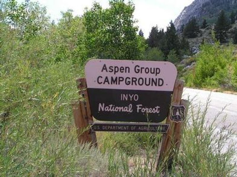
Aspen Group
The campground operates seasonally and is currently open for reservations. Opening dates are approximate and may be delayed by heavy snowpack. Early closure may occur to protect water systems from freezing.
Flood Watch issued July 20 at 12:17PM PDT until July 21 at 11:00PM PDT by NWS Reno NV
* WHAT...Flash flooding caused by excessive rainfall is possible due to thunderstorms. * WHERE...Portions of east central California, including the following area, Mono County and western Nevada, including the following area, Mineral and Southern Lyon Counties. * WHEN...From Tuesday afternoon through Tuesday evening. * IMPACTS...Excessive runoff may result in flooding of creeks, streams, urban areas, burn scars, and areas near steep terrain. * ADDITIONAL DETAILS... - Deeper monsoonal moisture combined with daytime heating will produce scattered thunderstorms each afternoon and evening through Tuesday. Slower moving storms could redevelop over similar areas, increasing the risk for heavy rainfall capable of producing flash flooding. - http://www.weather.gov/safety/flood
Flood Watch issued July 20 at 12:17PM PDT until July 20 at 11:00PM PDT by NWS Reno NV
* WHAT...Flash flooding caused by excessive rainfall is possible due to thunderstorms. * WHERE...Portions of east central California, including the following area, Mono County and western Nevada, including the following area, Mineral and Southern Lyon Counties. * WHEN...From Tuesday afternoon through Tuesday evening. * IMPACTS...Excessive runoff may result in flooding of creeks, streams, urban areas, burn scars, and areas near steep terrain. * ADDITIONAL DETAILS... - Deeper monsoonal moisture combined with daytime heating will produce scattered thunderstorms each afternoon and evening through Tuesday. Slower moving storms could redevelop over similar areas, increasing the risk for heavy rainfall capable of producing flash flooding. - http://www.weather.gov/safety/flood
National Forest System Roads
Follow California Vehicle Code on National Forest System Roads
About
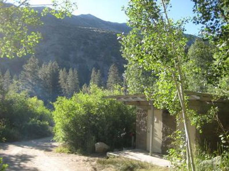
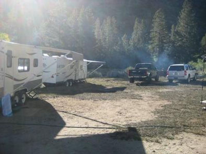
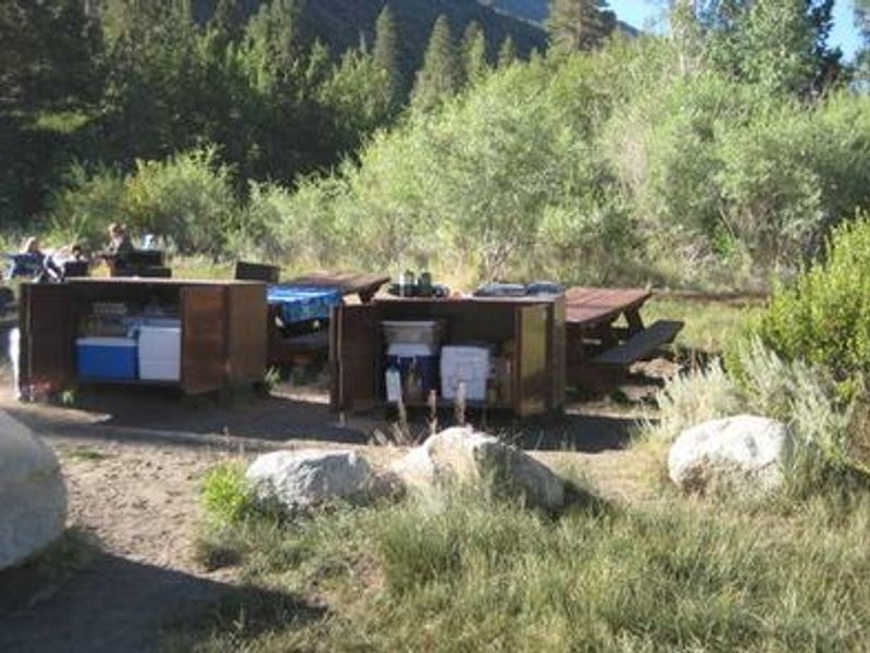
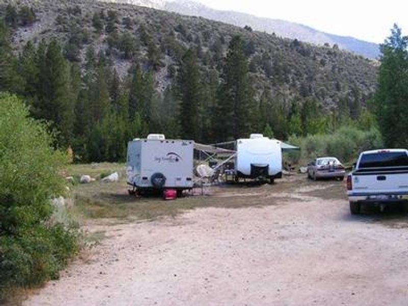
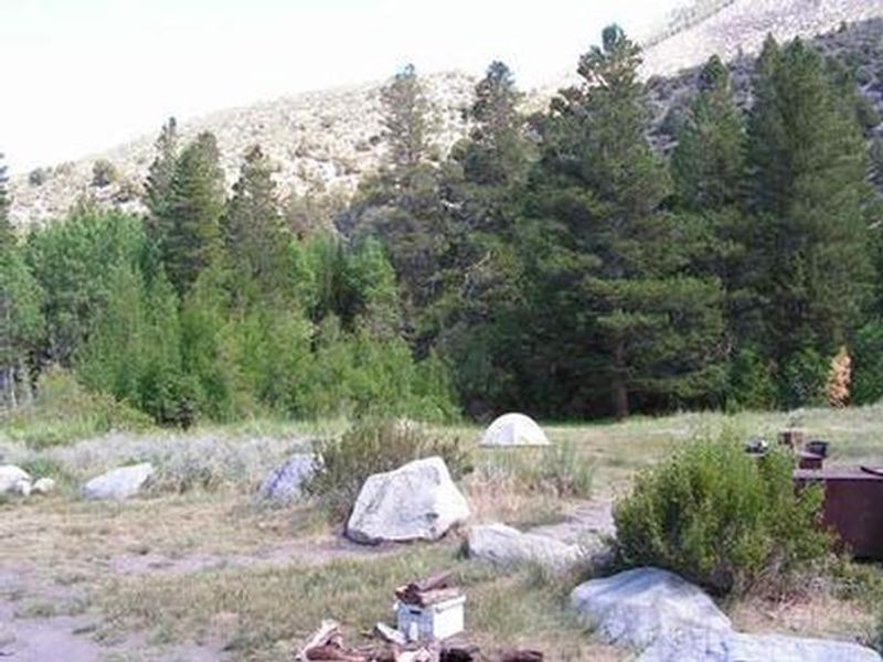
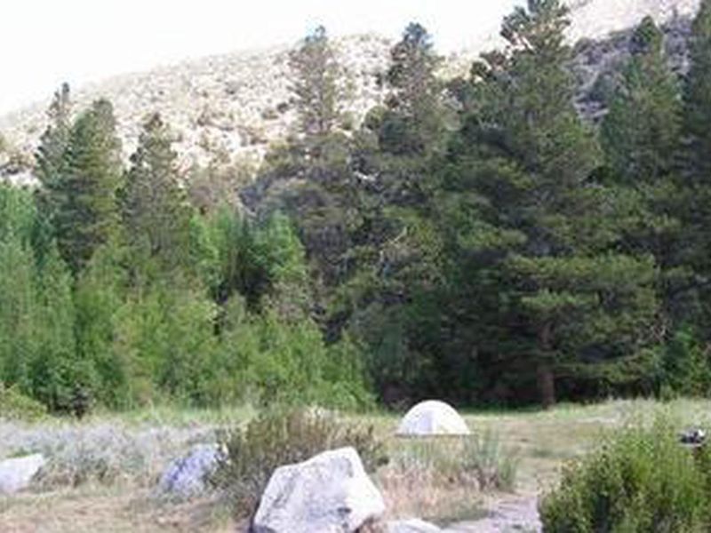
Aspen Group Campground is a secluded group camping area in Rock Creek Canyon within Inyo National Forest, positioned at 8,100 feet elevation between Mammoth Lakes and Bishop, California. The campground sits in a stand of aspen trees adjacent to Rock Creek, which originates in the John Muir Wilderness and runs 22 miles through the canyon. Views extend to massive peaks to the west and steep surrounding canyons. The single group site accommodates up to 25 guests with a maximum of five trailers or RVs permitted. Amenities include flush toilets, potable drinking water, picnic tables, and food storage lockers. There are no electrical hookups. The primitive setting provides excellent opportunities for trout fishing in Rock Creek, hiking to high-elevation alpine lakes, mountain biking, photography, and wildlife viewing. Black bear, mountain lions, mule deer, pine marten, and marmot inhabit the area. Reservations are available through Recreation.gov up to 12 months in advance. Quiet hours are enforced from 10 p.m. to 6 a.m., with a maximum 14-day stay limit. Firewood must be purchased locally, and seasonal fire restrictions may apply. A commercial pack station and nearby resorts with general stores, restaurants, and pay showers are in close proximity.
Directions
From Bishop, California, take Highway 395 northwest for 25 miles. Turn south at Tom's Place, and continue driving south for 4 miles onto Rock Creek Road, following signs to the campground.
Location
Amenities
| Water | Yes |
| Fires Allowed | — |
| Toilets | Yes |
| Dump Station | — |
| Wifi | No |
| Pets Allowed | Yes |
| Showers | No |
| Electric Hookups | — |
| Water Hookups | — |
| Sewer Hookups | — |
| Camp Store | No |
| Price | $95 |
Vehicle
| Max RV Length | 30ft |
| Max Trailer Length | 30ft |
| Big Rig Friendly | No |
| Pull Through Sites | No |
Contact
| Phone | +1 (760) 873-2500 |
Cell Service
| AT&T | None |
| Verizon | None |
| T-Mobile | None |
Availability
Photos
Community Posts
No posts yet. Be the first to share your experience!