French Camp
The campground is currently open and operating with a mix of first-come-first-served and reservable sites. Opening and closing dates are weather-dependent. Fire danger is currently low. 14-day maximum stay.
Flood Watch issued July 20 at 12:17PM PDT until July 21 at 11:00PM PDT by NWS Reno NV
* WHAT...Flash flooding caused by excessive rainfall is possible due to thunderstorms. * WHERE...Portions of east central California, including the following area, Mono County and western Nevada, including the following area, Mineral and Southern Lyon Counties. * WHEN...From Tuesday afternoon through Tuesday evening. * IMPACTS...Excessive runoff may result in flooding of creeks, streams, urban areas, burn scars, and areas near steep terrain. * ADDITIONAL DETAILS... - Deeper monsoonal moisture combined with daytime heating will produce scattered thunderstorms each afternoon and evening through Tuesday. Slower moving storms could redevelop over similar areas, increasing the risk for heavy rainfall capable of producing flash flooding. - http://www.weather.gov/safety/flood
Flood Watch issued July 20 at 12:17PM PDT until July 20 at 11:00PM PDT by NWS Reno NV
* WHAT...Flash flooding caused by excessive rainfall is possible due to thunderstorms. * WHERE...Portions of east central California, including the following area, Mono County and western Nevada, including the following area, Mineral and Southern Lyon Counties. * WHEN...From Tuesday afternoon through Tuesday evening. * IMPACTS...Excessive runoff may result in flooding of creeks, streams, urban areas, burn scars, and areas near steep terrain. * ADDITIONAL DETAILS... - Deeper monsoonal moisture combined with daytime heating will produce scattered thunderstorms each afternoon and evening through Tuesday. Slower moving storms could redevelop over similar areas, increasing the risk for heavy rainfall capable of producing flash flooding. - http://www.weather.gov/safety/flood
National Forest System Roads
Follow California Vehicle Code on National Forest System Roads
About
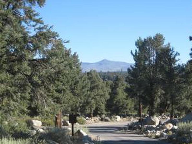
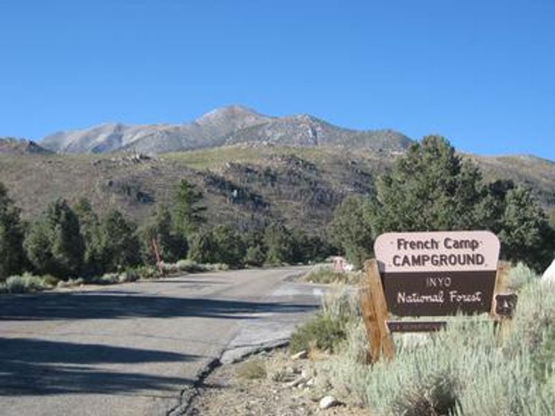
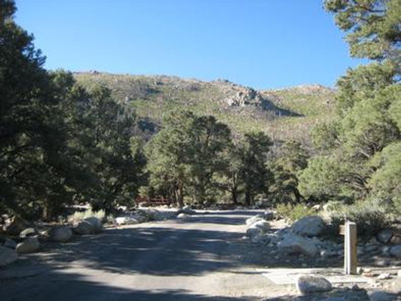
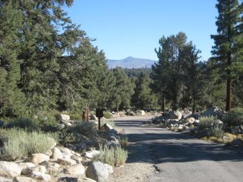
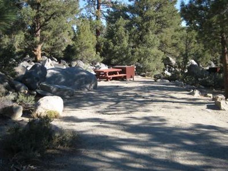
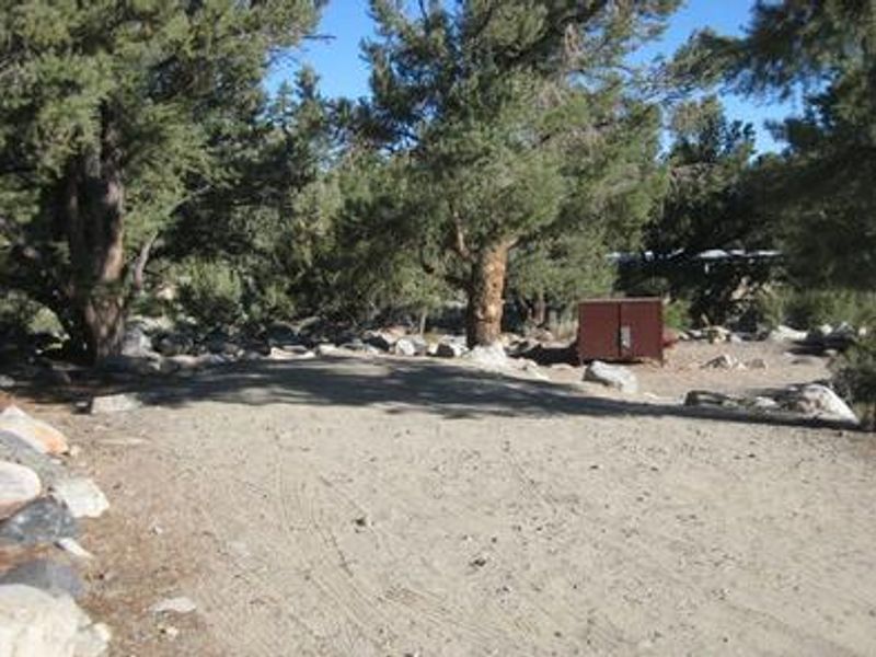
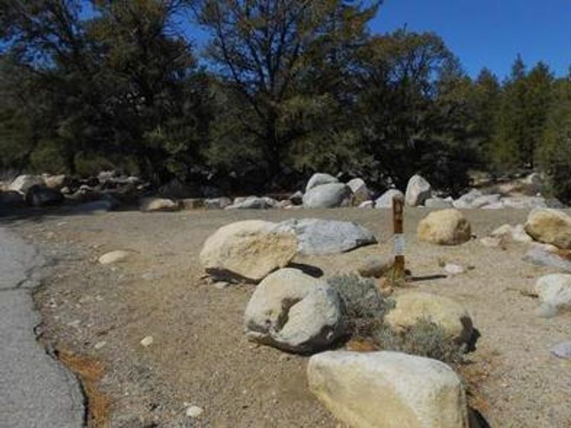
French Camp lies in the Rock Creek drainage of Inyo National Forest's White Mountain Ranger District, positioned at 7,500 ft elevation among Jeffrey and ponderosa pines, pinyon, junipers, and aspens. The campground stretches along Rock Creek, a clear cold stream originating in the John Muir Wilderness that supports brook, brown, rainbow, and stocked Alpers trout. The 86 sites accommodate tents and small to medium RVs up to 35 ft. The campground provides flush toilets, potable water from hand pumps, and each site includes a picnic table, fire ring, and bear-resistant food storage box. No hookups or showers are available on-site, though nearby Tom's Place offers supplies and fee showers. Dogs are permitted on leash, and all campers must store food in the provided bear boxes in this active bear area. The location serves as an excellent base for fishing Rock Creek, hiking into the John Muir Wilderness, mountain biking, and rockhounding in the geologically interesting terrain. Nearby attractions include Mule Days in Bishop over Memorial Day weekend and the Mammoth Jazz Jubilee in mid-July.
Directions
From Bishop, drive north on Highway 395 approximately 23 miles to Tom's Place. Turn southwest on Rock Creek Road and continue approximately 1 mile to the campground on the right.
Amenities
| Water | Yes |
| Fires Allowed | Yes |
| Toilets | Yes |
| Dump Station | — |
| Wifi | No |
| Pets Allowed | Yes |
| Showers | No |
| Electric Hookups | — |
| Water Hookups | — |
| Sewer Hookups | — |
| Camp Store | No |
| Price | $35 |
Vehicle
| Max RV Length | 35ft |
| Max Trailer Length | 35ft |
| Big Rig Friendly | No |
| Pull Through Sites | No |
Contact
| Phone | +1 (760) 935-4825 |
Cell Service
| AT&T | Yes |
| Verizon | Yes |
| T-Mobile | Yes |
Availability
Photos
Community Posts
No posts yet. Be the first to share your experience!