Manti Community
The campground operates seasonally from late May through September. Reservations are available through Recreation.gov. No potable water is available on site.
High Wind Watch issued October 9 at 1:12PM MDT until October 12 at 6:00AM MDT by NWS Salt Lake City UT
* WHAT...South winds 30 to 40 mph with gusts in excess of 70 mph possible. * WHERE...Central Mountains and Southern Mountains. * WHEN...From Sunday morning through late Sunday night. * IMPACTS...High winds may move loose debris, damage property and cause power outages. Travel could be difficult, especially for high profile vehicles and vehicles with trailers.
Flood Watch issued October 9 at 1:04PM MDT until October 12 at 6:00PM MDT by NWS Salt Lake City UT
Moisture associated with the remnants of Tropical Storm Rachel will impact Utah this weekend bringing widespread rainfall totals ranging from 2-4". Some highly localized amounts to 6-8" are also possible, particularly across terrain-favored locations in southwestern Utah, the Book Cliffs, and Bear River Range. * WHAT...Flash flooding caused by excessive rainfall is possible. * WHERE...A portion of Utah, including the following areas, Castle Country, Central Mountains, Eastern Juab/Millard Counties, San Rafael Swell, Sanpete Valley, Sevier Valley, Wasatch Plateau/Book Cliffs, Bryce Canyon Country, Capitol Reef National Park and Vicinity, Glen Canyon Recreation Area/Lake Powell, South Central Utah, Southern Mountains, Upper Sevier River Valleys, Western Canyonlands, Lower Washington County, Southwest Utah and Zion National Park. This also includes recent burn scars such as Forsyth, Cottonwood, Silver King, France Canyon, and Monroe Canyon. * WHEN...From Saturday afternoon through Monday afternoon. * IMPACTS...Excessive runoff may result in flooding of rivers, creeks, streams, dry washes, slot canyons, and other low-lying and flood-prone locations such as slickrock areas and recent burn scars. Creeks and streams may rise out of their banks. Flooding may occur in poor drainage and urban areas. * ADDITIONAL DETAILS... - Anomalously high moisture is forecast to impact the region with the arrival of the remnants of Tropical Storm Rachel. While this is expected to be a long duration rainfall event, scattered instances of heavier rainfall rates are expected with stronger storms yielding flash flooding concerns given saturated soils and prior burn scars. - http://www.weather.gov/safety/flood
Weed Free Hay Order 04-2021-03
Prohibited by this order: Possessing, storing, or transporting non-pelletized hay, straw, or mulch in the Intermountain Region, unless it is certified as weed free by the state where the product originated.
About
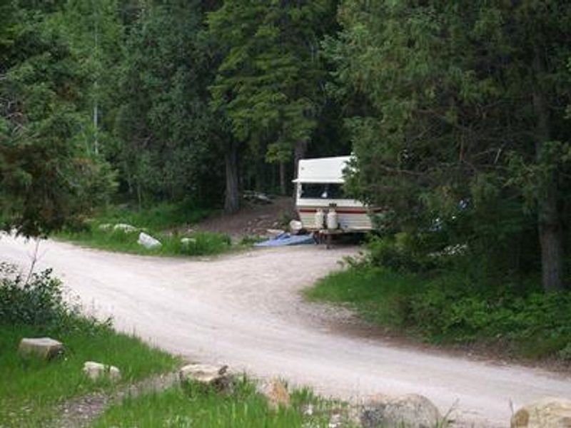
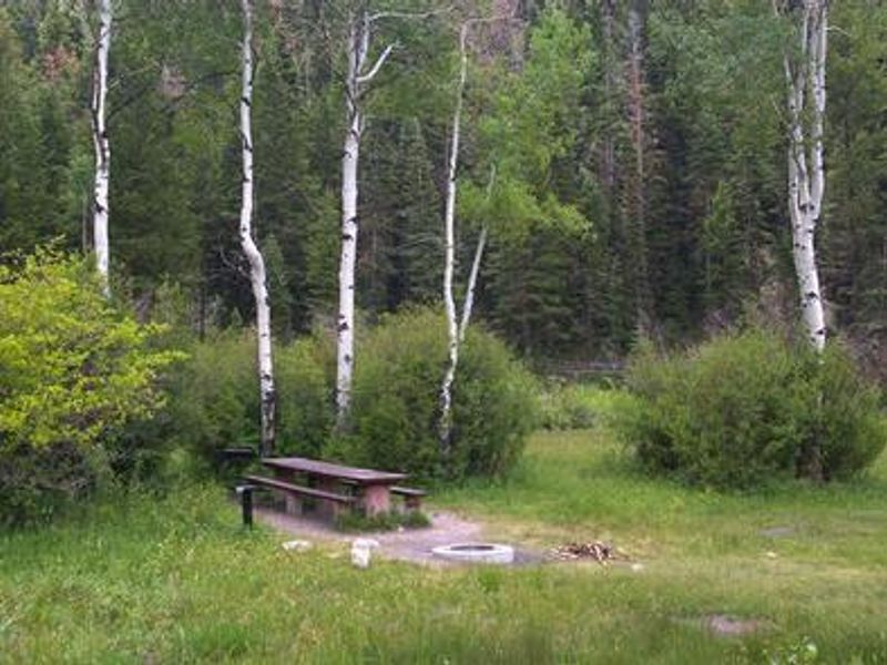
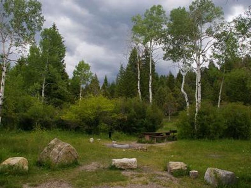
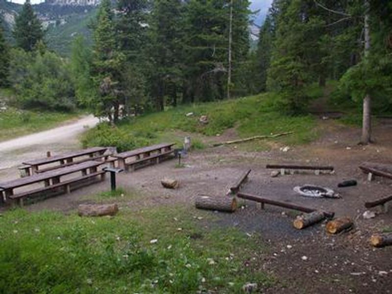
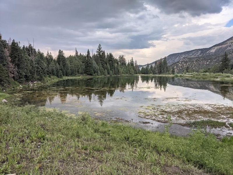
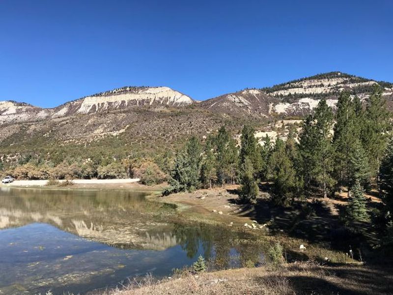
Manti Community Campground is a small, scenic campground located 7 miles east of Manti, Utah at 7,400 feet elevation. Nestled next to Yearns Reservoir, the campground provides access to fishing and canoeing on the man-made lake, which is stocked with rainbow and cutthroat trout. A short trail loops around the reservoir with multiple fishing access points. The campground features six single-family sites and one group site that accommodates up to 30 people and six vehicles. All sites have picnic tables and fire rings, with vault toilets provided. There is no potable water, so campers must bring their own supply. Roads and parking spurs are gravel. The surrounding area is popular with OHV enthusiasts, with access to the extensive Arapeen OHV Trail System. The nearby Burnt Hill Trail connects with the Patton Trail, and hiking, mountain biking, and horseback riding are also available in the area.
Directions
From Manti, head east on 500 South (which becomes Forest Road 045) for approximately 7 miles. The road is dirt but does not require high clearance.
Amenities
| Water | No |
| Fires Allowed | Yes |
| Toilets | Yes |
| Dump Station | — |
| Wifi | No |
| Pets Allowed | — |
| Showers | No |
| Electric Hookups | — |
| Water Hookups | — |
| Sewer Hookups | — |
| Camp Store | No |
| Price | $10 - $40 |
Vehicle
| Max RV Length | 30ft |
| Max Trailer Length | 30ft |
| Big Rig Friendly | — |
| Pull Through Sites | No |
Contact
| Phone | +1 (435) 283-4151 |
Cell Service
| AT&T | Yes |
| Verizon | Yes |
| T-Mobile | None |
Availability
Photos
Community Posts
No posts yet. Be the first to share your experience!