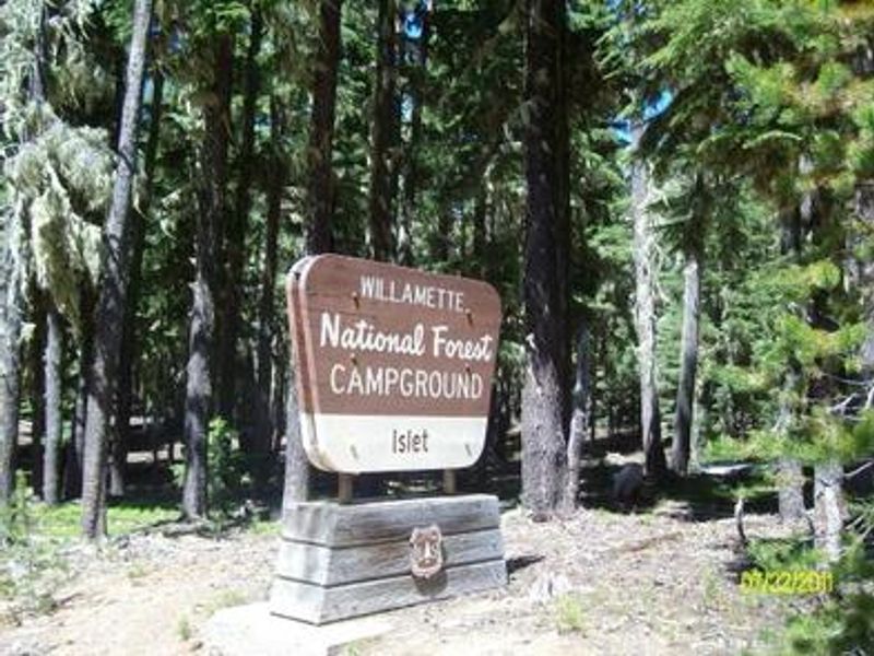
Islet Campground
Closed for the entire 2026 season due to the Cedar Creek Fire closure order (Forest Order #06-18-10-26-04), which remains in effect through December 31, 2026. The closure affects access roads including Forest Road 5898.
Alcohol Prohibitions
This Order describes acts that are prohibited upon lands, roads and trails within the National Forest System administered by the Forest Service Pacific Northwest Region in regards to alcoholic beverages.
Aquatic Invasive Species
This Order prohibits 1) possessing, storing, or transporting any aquatic invasive animal species AND 2) prohibits possessing, storing, or transporting any aquatic or riparian invasive plant species - on National Forest System lands in the Pacific Northwest Region as specified in the Order.
Restrictions on Use of Forage and Mulch Products
This Order prohibits unloading, storing, or using any straw, hay, grain, seed, or other forage or mulch products that are not state-certified weed free on the National Forest System lands, roads or trails in any Closure Area as specific in the Order. Some examples of these include hay bales, hay…
Fireworks and Explosives are always Prohibited
Fireworks and explosives (including explosive targets) are always prohibited on national forest lands. The prohibition of fireworks and exploding targets on national forest system lands is part of a set of permanent fire safety regulations in the Code of Federal Regulations (CFR), listed below.…
Cedar Creek Fire Closure
To provide for public safety, a closure order is in place for the following areas impacted by the Cedar Creek Fire.
Terwilliger Hot Springs Nudity, Alcohol, and Closed Times
The following is prohibited: to park or possess an alcoholic beverage in restricted areas, be publicly nude visible from Forest Road 19, and to enter or use Terwilliger Hot Springs between 10 p.m. and sunrise.
Portion of Forest Service Road 1003 (Tom Creek Road) closed
A portion of Forest Service Road 1003, also known as Tom Creek Road, is closed. The road closure starts at the junction of FSR 10 and FSR 1003 and includes the first 4.1 miles of FSR 1003 to the junction with the 1003-416 and 1003-409 roads.
Emigrant Fire Closure Order
Pursuant to 16 USC 551 and 36 CFR § 261.50 (a) and (b), and to provide for public safety, the following acts are prohibited in the areas described in this Order on National Forest System lands within the administrative boundaries of the Willamette National Forest. This Order…
Tamolitch Parking / Trail Construction Closure
Tamolitch Parking and Trail Construction Closure Forest Order.Forest roads 2600-735, 2600-738, and 2600-739: and the area is described as beginning at the junction of Highway 126 and 2600-735 road, west along the 2600-735 road, then northwest to the highwater mark of the east bank of the McKenzie…
Detroit Dispersed Camping Restrictions
Pursuant to 16 USC§ 551 and 36 CFR 261.50(a) and (b), and to provide for public safety, the following acts are prohibited in the Closure Areas, roads and their associated spur roads, trailheads, and recreation sites described in this order on National Forest System lands within the administrative…
FIRE CLOSURES: Current wildfire closures on the Willamette National Forest
For updates on active fires, visit our fire Incident Information page. Fire Closures:Cedar Creek Fire Closure Order & Map (updated 3/23/26)Beachie Creek and Lionshead Fires Closure Order & Map (updated 05/21/26)Map of All Fire Closures in Pacific Northwest
Beachie Creek and Lionshead Fires Closure
The Willamette National Forest has issued a closure order to restrict visitors from being on specific roads, trails, or developed recreation sites as listed in the Forest Order. The closed areas were impacted by the Beachie Creek and Lionshead Fires.
14 Day Stay Camping Limit
Camping, occupying, or otherwise leaving camping equipment and/or related supplies at any locations on the Willamette National Forest described in this order, overnight, for a period longer than 14 calendar days, in a 30-day period.
Camping Restrictions in Cougar Recreation Area
The Cougar Recreation Area is a specially designated area around Cougar Reservoir. It includes a 1/2-mile strip on either side of Forest Service Road 19 from Hwy 126 to Forest Service Road 1927 as well as Terwilliger Hot Springs, Hidden Lake Day Use Area, areas surrounding Delta Campground, Slide…
Moose and Gordon Dispersed Camping Closure
The purpose of this closure is to prohibit dispersed overnight camping and make these areas available as day-use only. This is to allow river access for all users, reduce conflict, reduce safety concerns, reduce and eliminate health and sanitation issues associated with improper disposal of human…
Special Wilderness Permit, Camping and Fire Restrictions
This outlines special restrictions on the Willamette and Deschutes National Forests.
Occupation Use Restriction in Middle Fork Ranger District
The following acts are prohibited in the areas described in this order within the administrative boundaries of the Willamette National Forest.Prohibitions:1. Being in the area after sundown to before sunrise.2. Parking in violation of posted instructions.
About
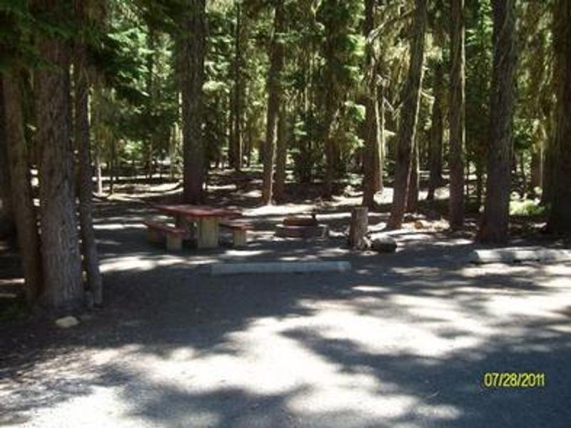
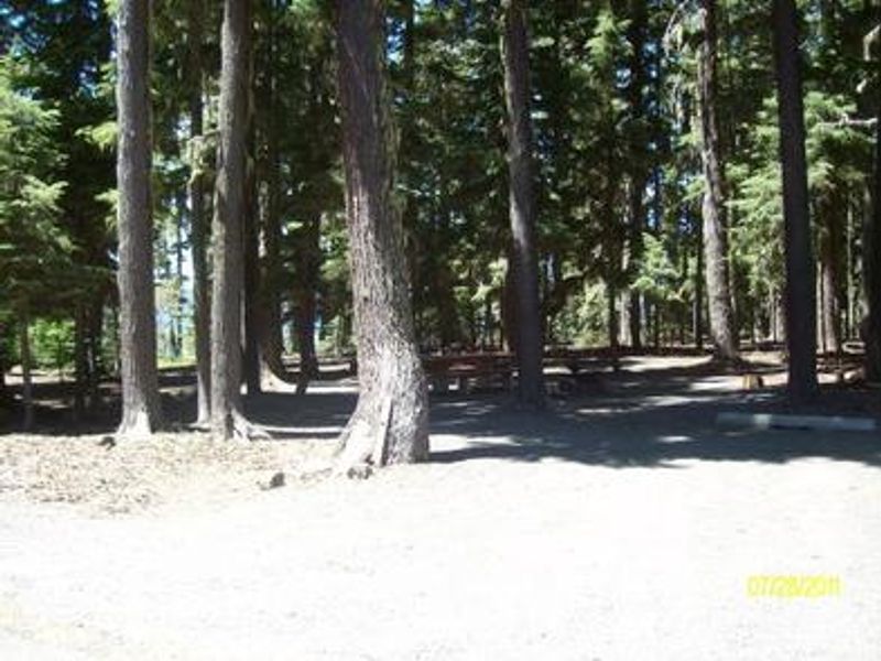
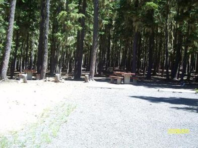
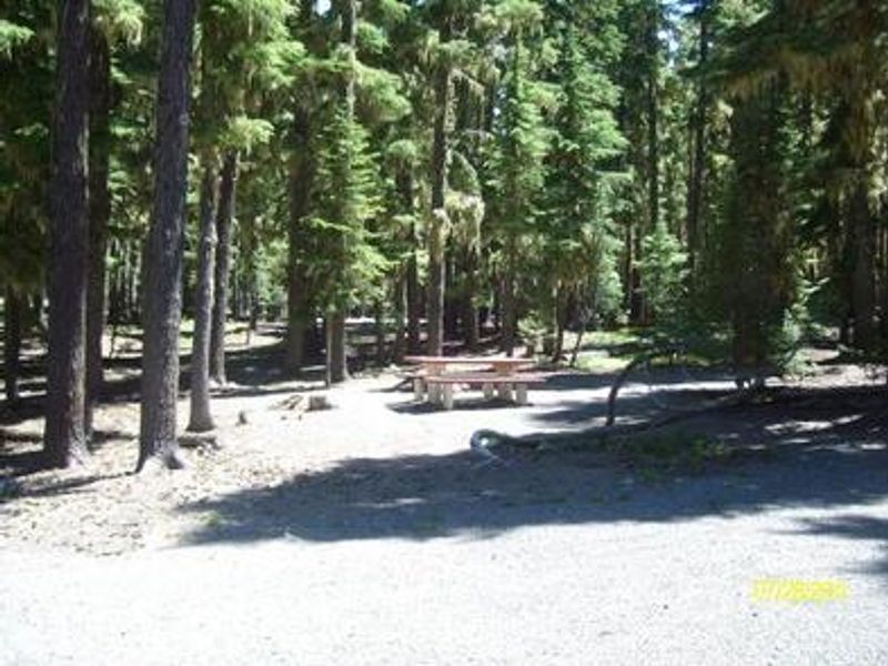
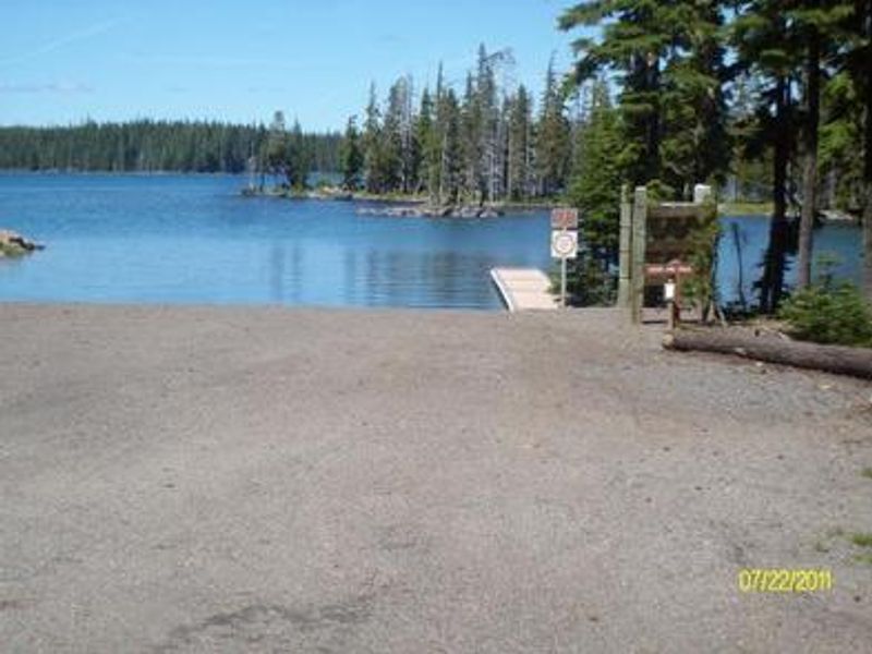
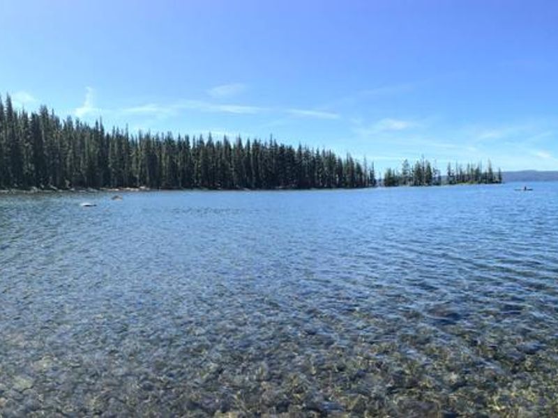
Islet Campground occupies the north shore of Waldo Lake at 5,400 feet elevation in the Willamette National Forest. Waldo Lake spans 9.8 square miles with a maximum depth of 427 feet and is renowned as one of Oregon's purest lakes due to the absence of permanent inlets that would bring nutrients for plant growth. On calm days, visibility extends to 120 feet. The campground features 55 sites spread through a fire restoration area of Douglas fir and mountain hemlock forest. Each site includes a fire ring and picnic table. Three vault restrooms serve the campground, with an additional restroom at the nearby boat launch. Potable water is available from faucets. The sandy beaches at Islet make it popular for swimming, sailing, and canoeing. Electric motors only are permitted on Waldo Lake. The north end of Waldo Lake provides access to numerous trails including the 22-mile Jim Weaver Loop for hiking and biking, connections to the Pacific Crest Trail, and routes into Waldo Lake Wilderness to reach Rigdon, Wahanna, and Torrey Lakes. A 1-mile Shoreline Trail connects Islet to North Waldo Campground.
Directions
From Oakridge, Oregon, travel east on Highway 58 for 23.3 miles. Turn left on Waldo Lake Road/Forest Road 5897. Travel 12.8 miles and turn left at the T intersection onto Forest Road 5898. Travel 1.2 miles; the campground is on the right.
Amenities
| Water | Yes |
| Fires Allowed | Yes |
| Toilets | Yes |
| Dump Station | No |
| Wifi | No |
| Pets Allowed | Yes |
| Showers | No |
| Electric Hookups | — |
| Water Hookups | — |
| Sewer Hookups | — |
| Camp Store | No |
| Price | $28 |
Vehicle
| Max RV Length | 37ft |
| Max Trailer Length | 37ft |
| Big Rig Friendly | — |
| Pull Through Sites | No |
Contact
| sm.fs.mfrd@usda.gov | |
| Phone | +1 (541) 782-2283 |
Cell Service
| AT&T | None |
| Verizon | None |
| T-Mobile | None |
Availability
Photos
Community Posts
No posts yet. Be the first to share your experience!