Hat Creek
Open for the 2026 season. Individual sites are first-come, first-served. Operating through October. 14-day maximum stay limit.
National Forest System Roads
Follow California Vehicle Code on National Forest System Roads
Fireworks and Explosives are always Prohibited
Fireworks and explosives (including explosive targets) are always prohibited on national forest lands. The prohibition of fireworks and exploding targets on national forest system lands is part of a set of permanent fire safety regulations in the Code of Federal Regulations (CFR), listed below.…
Hat Creek RD - Temporary Office Closure for all Visitor Services
The Hat Creek Ranger District office will be closed and services will be unavailable July 21 and July 22, 2026. Normal hours will resume Thursday, July 23.For questions about recreation sites and other visitor services, please contact our Susanville office.
About
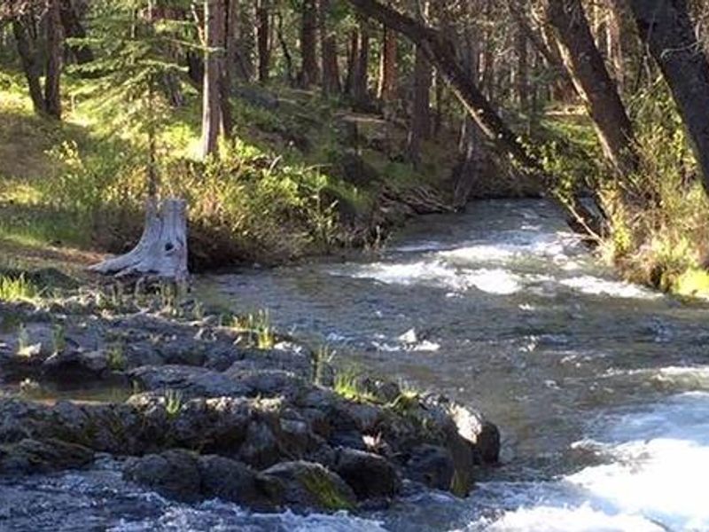
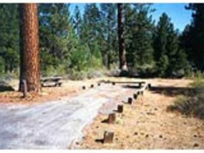
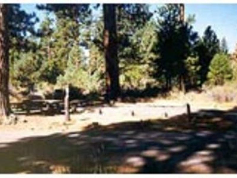
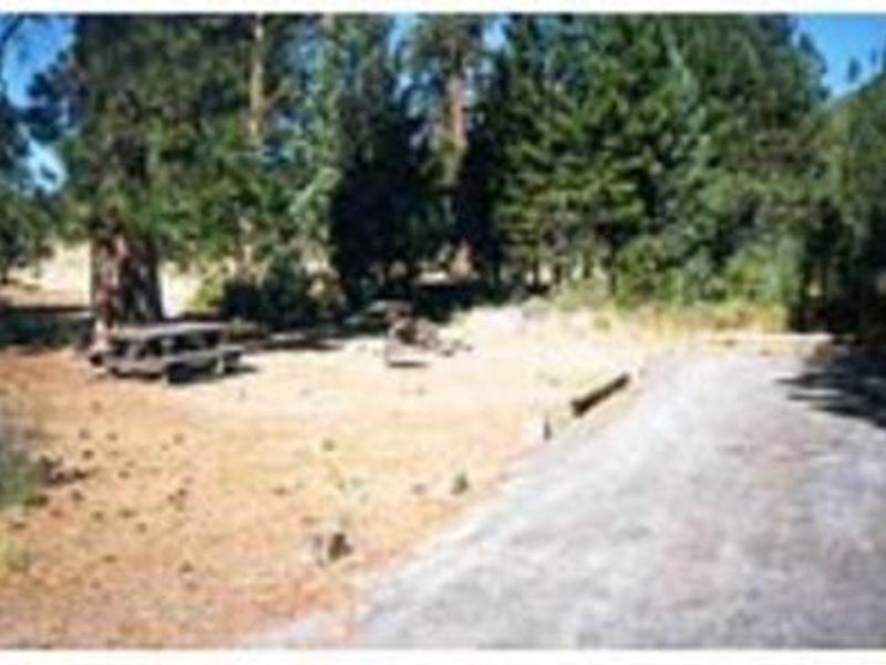
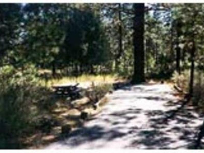
Hat Creek Campground is located in the Hat Creek Recreation Area of Lassen National Forest, about 1.5 miles south of Old Station, California. The campground sits at 4,390 feet in a mixed conifer forest with pine needles, grasses, and volcanic rocks covering the forest floor. Sites are widely spaced for privacy and provide direct access to Hat Creek, renowned for its cold-water trophy trout fishing. The campground features 9 individual sites available first-come, first-served, plus 3 group sites that can accommodate up to 50 people each. Each site includes a picnic table and fire ring with grill. Flush toilets, drinking water, and accessible facilities are provided. An RV dump station is available 1.5 miles north at the Old Station Visitors Center. The location offers excellent access to unique volcanic features. The Spatter Cones Nature Trail is directly across the highway, providing a 1.5-mile loop through craters, cones, and geological features from the Hat Creek Lava Flow. Subway Cave, a self-guided lava tube exploration trail, is about a mile north. Lassen Volcanic National Park is 12 miles to the west.
Directions
1.5 miles south of the Highway 44/89 junction in Old Station, CA.
Amenities
| Water | Yes |
| Fires Allowed | Yes |
| Toilets | Yes |
| Dump Station | No |
| Wifi | — |
| Pets Allowed | Yes |
| Showers | — |
| Electric Hookups | — |
| Water Hookups | — |
| Sewer Hookups | — |
| Camp Store | — |
| Price | $16 - $80 |
Vehicle
| Max RV Length | 45ft |
| Max Trailer Length | 45ft |
| Big Rig Friendly | — |
| Pull Through Sites | No |
Contact
| Phone | +1 (530) 336-5521 |
Cell Service
| AT&T | None |
| Verizon | None |
| T-Mobile | Yes |
Availability
Photos
Community Posts
No posts yet. Be the first to share your experience!