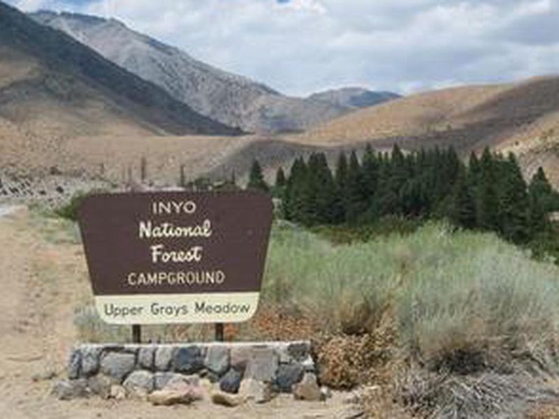
Grays Meadows
Open for camping with full amenities and fees from late April through mid-October. Some sites are reservable via Recreation.gov while others remain first-come, first-served. The campground remains open in winter with limited amenities and no fee, weather permitting.
Winter Storm Warning issued November 18 at 1:03PM PST until November 20 at 4:00AM PST by NWS Las Vegas NV
* WHAT...Heavy snow expected in the Eastern Sierra. For elevations between 5,000 and 8,000 feet, storm total snow accumulations of 10 to 18 inches expected. For elevations between 8,000 and 9,500 feet, storm total snow accumulations of 18 to 36 inches expected. Locally higher totals expected above 9,500 feet. Winds could gust as high as 55 mph. * WHERE...Eastern Sierra Slopes. * WHEN...Until 4 AM PST Friday. * IMPACTS...Travel could be very difficult to impossible. Widespread blowing snow could significantly reduce visibility. The hazardous conditions will impact the Wednesday evening and Thursday morning commutes. Strong winds could cause extensive damage to trees and power lines. Roads, and especially bridges and overpasses, will likely become slick and hazardous. Whiteout conditions are expected and will make travel treacherous and potentially life-threatening.
Fireworks and Explosives are always Prohibited
Fireworks and explosives (including explosive targets) are always prohibited on national forest lands. The prohibition of fireworks and exploding targets on national forest system lands is part of a set of permanent fire safety regulations in the Code of Federal Regulations (CFR), listed below.…
Southern California Edison - Road work in Silver and Wyman Canyon
Southern California Edison is doing road work in Silver and Wyman Canyon. Work in Wyman Canyon Road 06S01 will be ongoing through September and early October. Work in Silver Canyon Rd 06S02 will start in October. When driving in the area, please prepare for potential delays and use caution as…
About
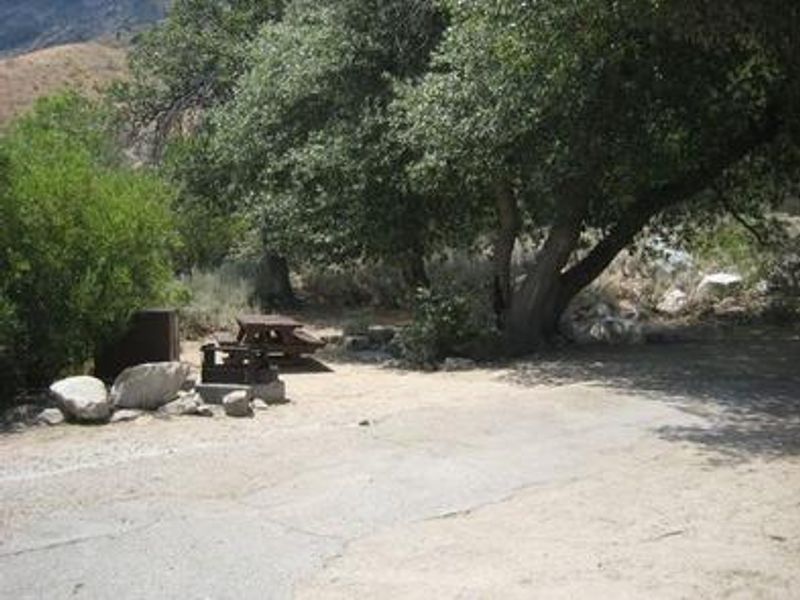
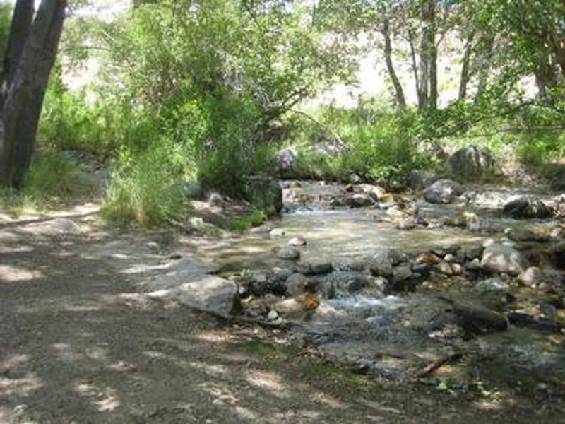
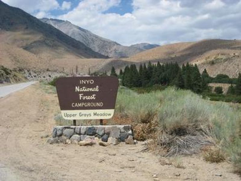
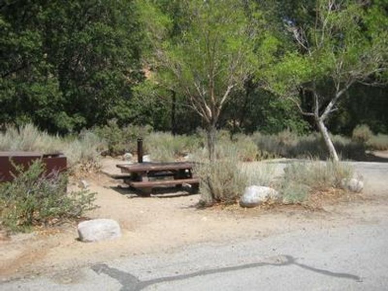
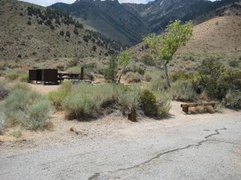
Grays Meadows Campground is situated along Independence Creek in the Onion Valley area of the eastern Sierra Nevada Mountains, 6 miles west of Independence, California. At an elevation of 6,100 feet, the campground is bordered by Mt. Williamson and Mt. Whitney, the two highest peaks in the contiguous United States. The high-desert landscape features both sunny and shaded sites among an oak grove. The campground serves as a popular hub for hikers, anglers, and backcountry enthusiasts. Independence Creek is regularly stocked with trophy-size rainbow trout, with the fishing season starting the first weekend in March. The Shepherd Pass Trail, accessible just west of the campground, leads to alpine lakes and the high peaks of the John Muir Wilderness. This is an active bear area. Bear-proof food storage lockers (48"×30"×36") are provided at each site and their use is mandatory. Security teams patrol during periods of high bear activity. Quiet hours are observed from 10:00 p.m. to 6:00 a.m.
Directions
From Independence, CA, take U.S. Highway 395 to Market Street. Turn west on Market Street (which becomes Onion Valley Road) and continue 6 miles. The first gate accesses sites 36-52; the second gate is 0.25 miles further and accesses sites 1-35.
Amenities
| Water | Yes |
| Fires Allowed | Yes |
| Toilets | Yes |
| Dump Station | No |
| Wifi | No |
| Pets Allowed | Yes |
| Showers | No |
| Electric Hookups | — |
| Water Hookups | — |
| Sewer Hookups | — |
| Camp Store | No |
| Price | $34 |
Vehicle
| Max RV Length | 40ft |
| Max Trailer Length | 40ft |
| Big Rig Friendly | No |
| Pull Through Sites | No |
Contact
| Phone | +1 (760) 876-6200 |
Cell Service
| AT&T | Yes |
| Verizon | Yes |
| T-Mobile | Yes |
Availability
Photos

Community Posts
No posts yet. Be the first to share your experience!