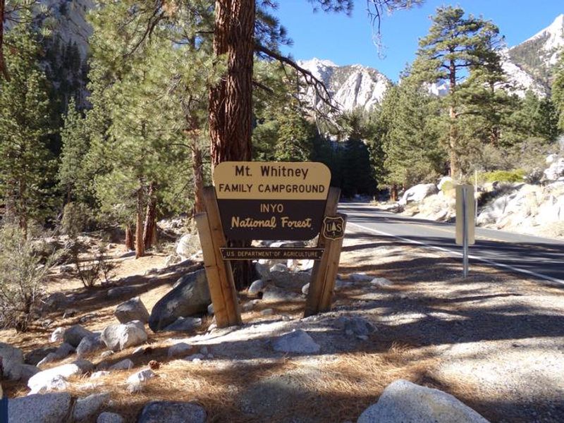
Whitney Portal
Open for the season. Some sites are available first-come, first-served while others are reservable through Recreation.gov. The campground typically operates late May through mid-October depending on snow conditions. Active bear area with mandatory food storage requirements.
National Forest System Roads
Follow California Vehicle Code on National Forest System Roads
Fireworks and Explosives are always Prohibited
Fireworks and explosives (including explosive targets) are always prohibited on national forest lands. The prohibition of fireworks and exploding targets on national forest system lands is part of a set of permanent fire safety regulations in the Code of Federal Regulations (CFR), listed below.…
Inyo Craters Closure Part D and E
The Inyo Craters Closures are for public safety during a hazard tree mitigation project. The project consists of felling hazard trees, piling limbs and slash, and preparing tree trunks for eventual public fuelwood collection when the project is complete. The majority of the project is conducted…
About
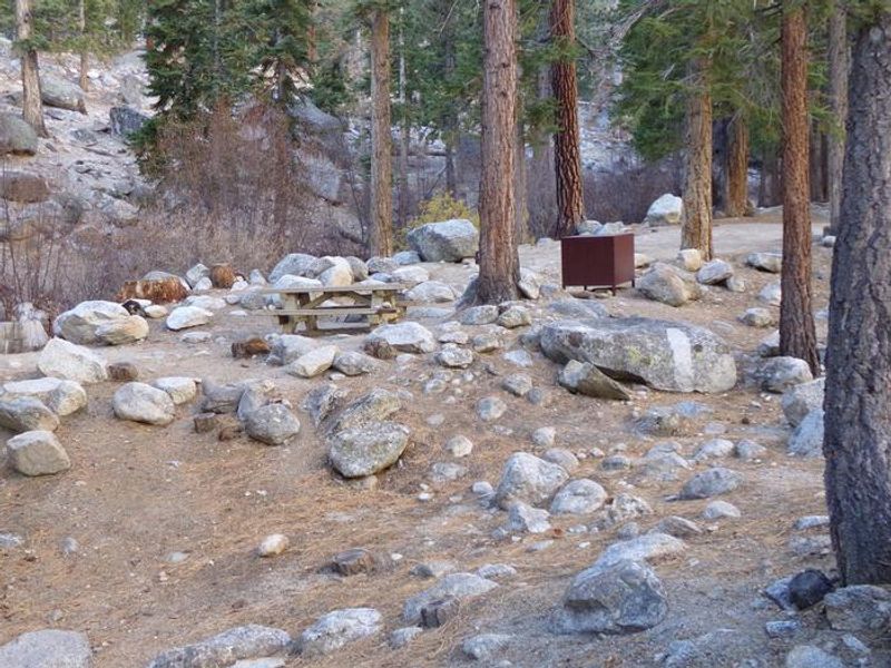
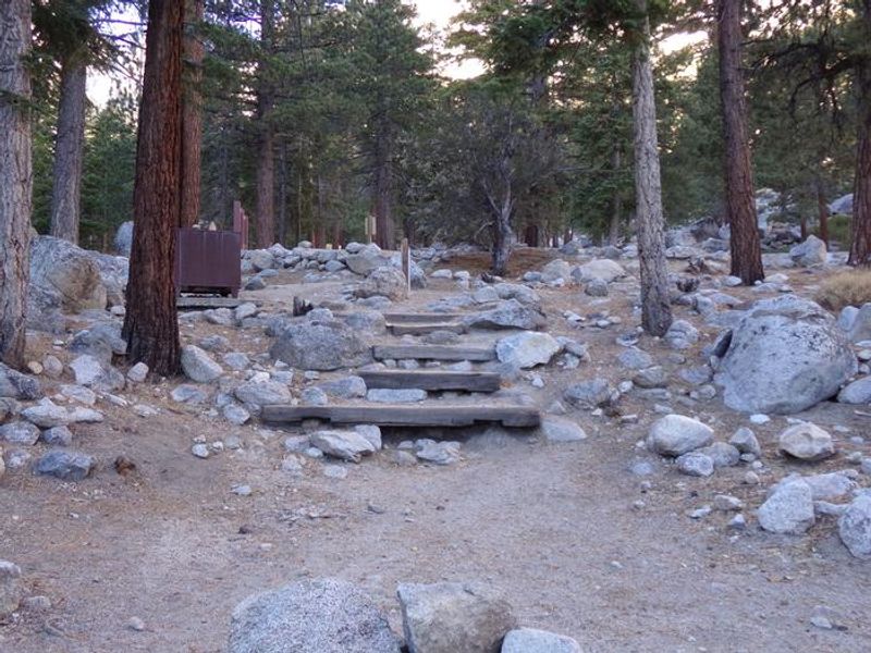
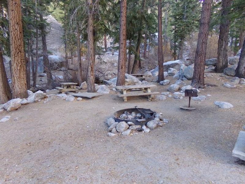
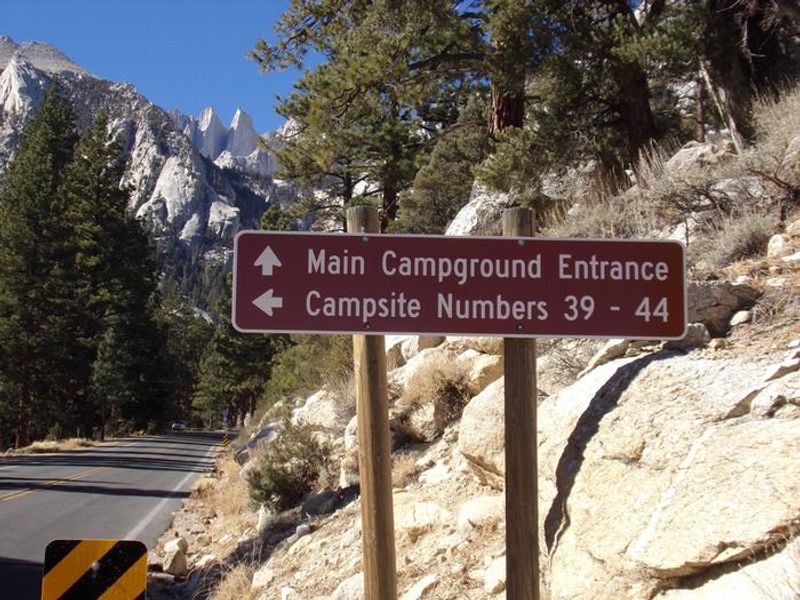
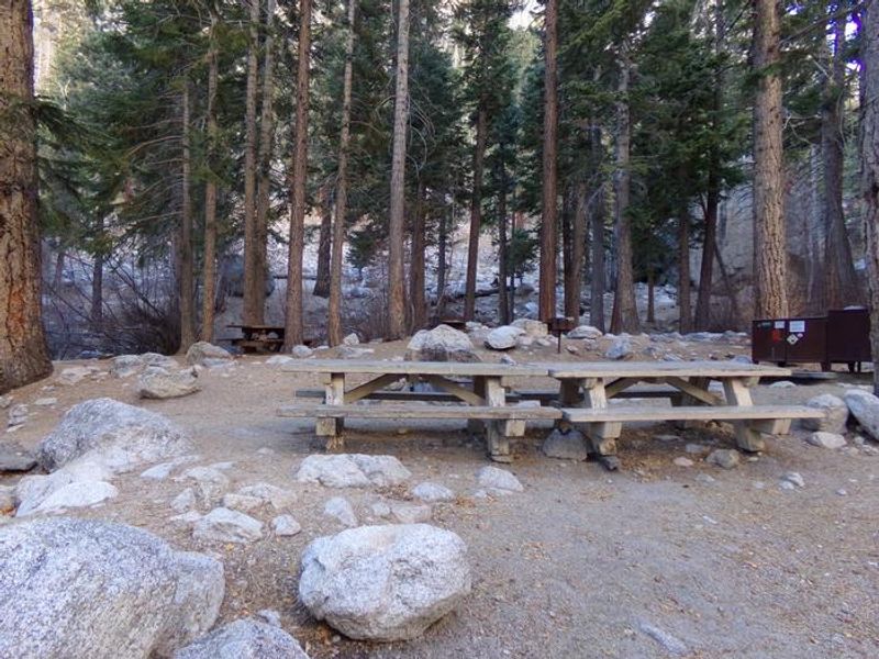
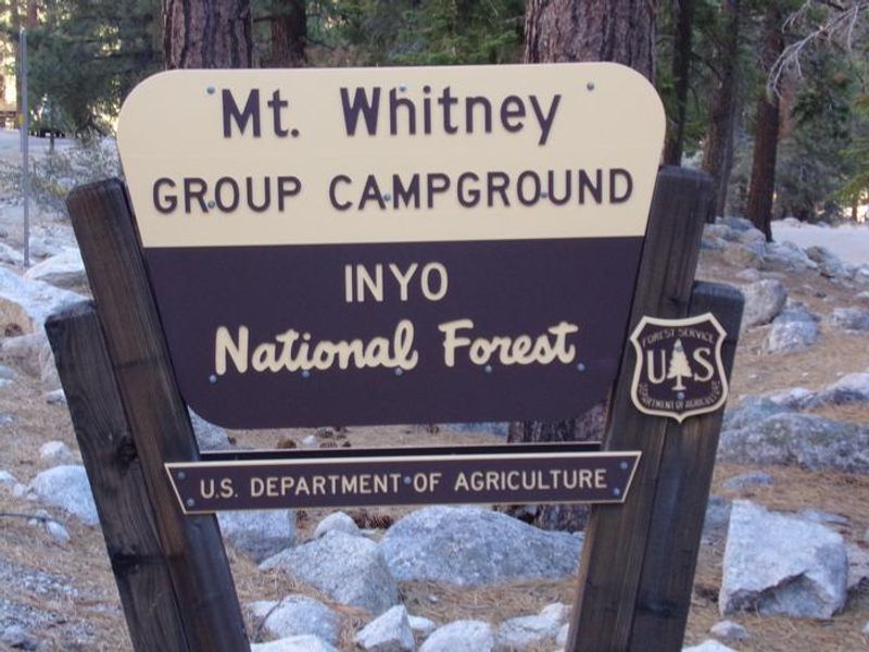
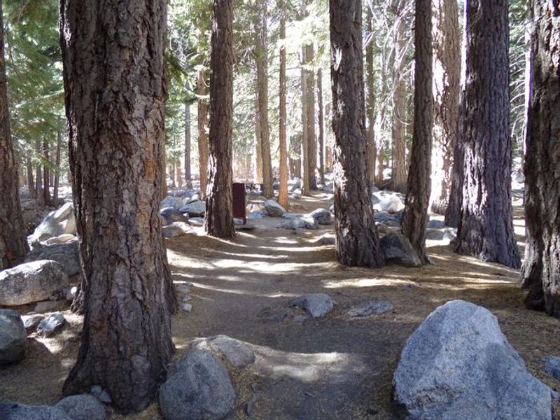
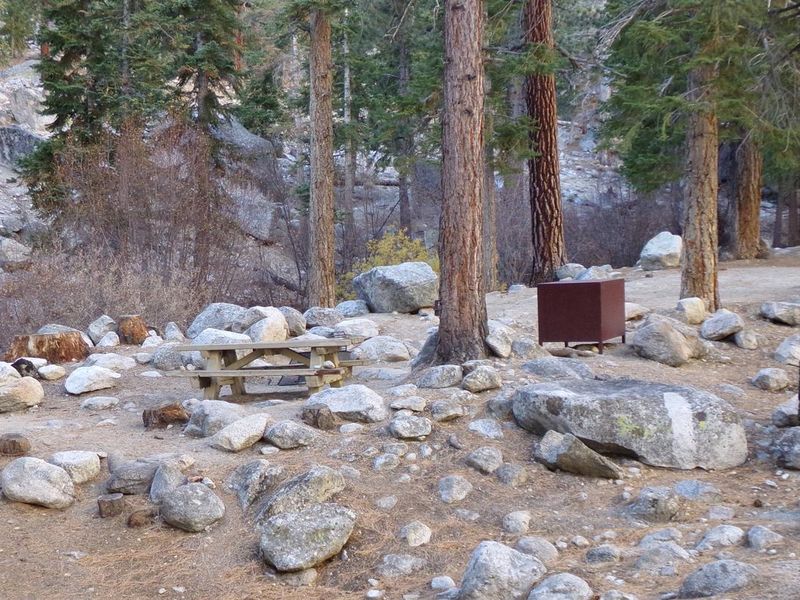
Whitney Portal Campground occupies a prime location within Inyo National Forest at the base of Mt. Whitney, the highest peak in the contiguous United States at 14,505 feet. Situated in a thick pine forest at 8,000 feet elevation, the campground offers striking views of the rugged granite peaks of the eastern Sierra Nevada. The facility is just 0.5 miles from trailheads to Mt. Whitney, Meysan Lake, and other popular destinations in the John Muir Wilderness and Sequoia-Kings Canyon National Park. The campground features 43 single campsites, with a mix of reservable and first-come, first-served sites. Amenities include vault toilets, potable water from hand pumps, picnic tables, and fire grates at each site. Firewood is available for purchase. Due to heavy bear activity, bear-proof food storage lockers are provided at every site and their use is mandatory. All food, trash, and scented items must be stored properly, with fines up to $150 for non-compliance. The area supports abundant wildlife including black bear, mountain lion, mule deer, pine marten, and pika. Visitors can fish for trout in nearby lakes, streams, and a small pond. A small convenience store with showers is located nearby at Whitney Portal. Quiet hours are enforced from 10 p.m. to 6 a.m. The campground typically operates from late May through mid-October, though exact dates depend on snow conditions.
Directions
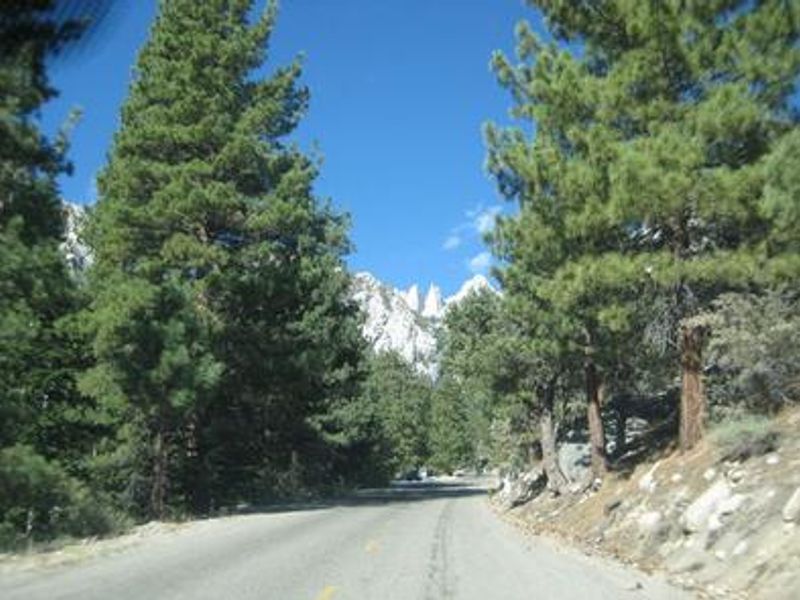
From Highway 395 in Lone Pine, CA, turn west at the stoplight onto Whitney Portal Road and drive 12.5 miles to the campground.
Nearby Campgrounds
Amenities
| Water | Yes |
| Fires Allowed | Yes |
| Toilets | Yes |
| Dump Station | No |
| Wifi | No |
| Pets Allowed | Yes |
| Showers | No |
| Electric Hookups | — |
| Water Hookups | — |
| Sewer Hookups | — |
| Camp Store | No |
| Price | $34 - $95 |
Vehicle
| Max RV Length | 35ft |
| Max Trailer Length | 35ft |
| Big Rig Friendly | No |
| Pull Through Sites | No |
Contact
| Phone | +1 (760) 937-6070 |
Cell Service
| AT&T | Yes |
| Verizon | Yes |
| T-Mobile | None |
Availability
Photos

Community Posts
No posts yet. Be the first to share your experience!