Lone Pine
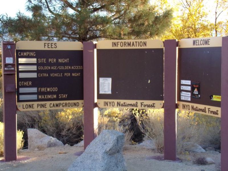
Open for the season with full amenities and fees. Operates late April through mid-October. Some sites are reservable via Recreation.gov while others remain first-come, first-served. Winter months have limited amenities and no fees.
National Forest System Roads
Follow California Vehicle Code on National Forest System Roads
Fireworks and Explosives are always Prohibited
Fireworks and explosives (including explosive targets) are always prohibited on national forest lands. The prohibition of fireworks and exploding targets on national forest system lands is part of a set of permanent fire safety regulations in the Code of Federal Regulations (CFR), listed below.…
Inyo Craters Closure Part D and E
The Inyo Craters Closures are for public safety during a hazard tree mitigation project. The project consists of felling hazard trees, piling limbs and slash, and preparing tree trunks for eventual public fuelwood collection when the project is complete. The majority of the project is conducted…
About
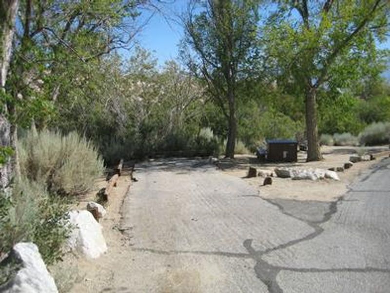
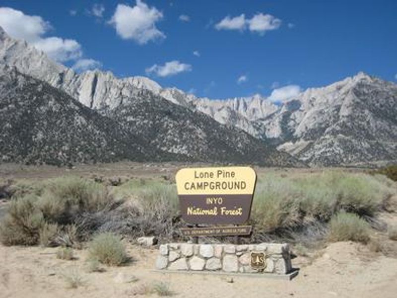
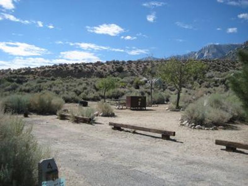
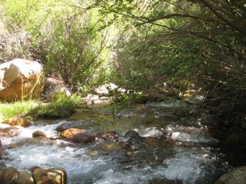
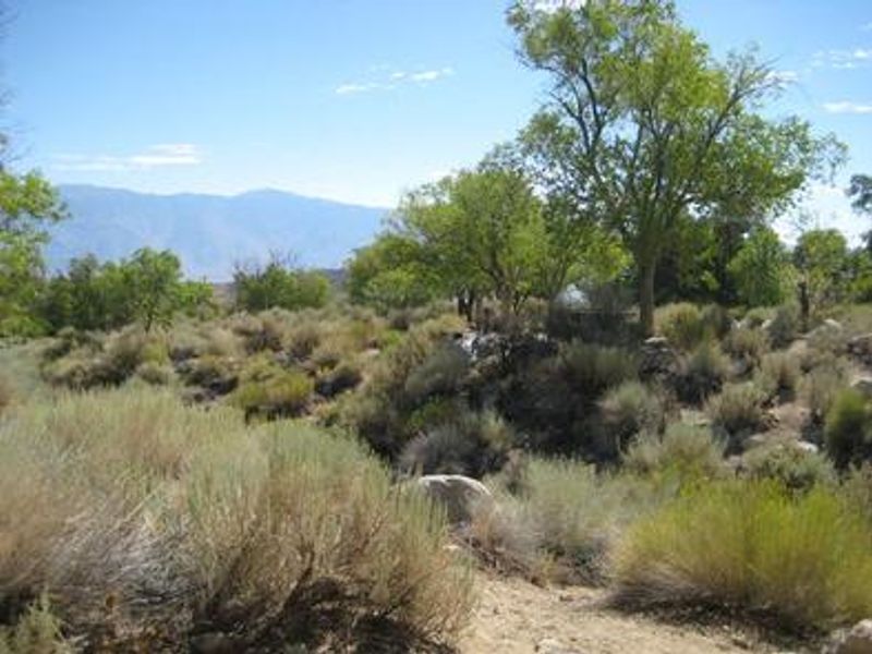
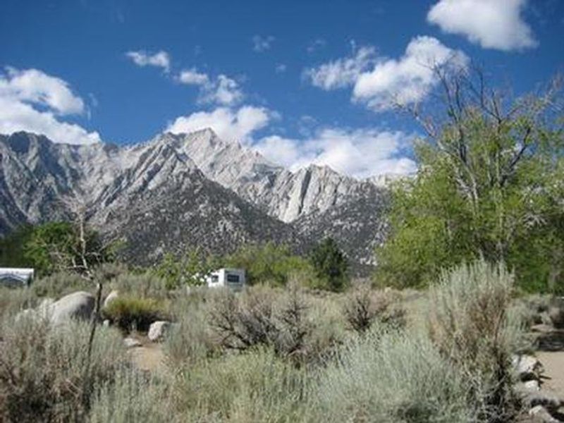
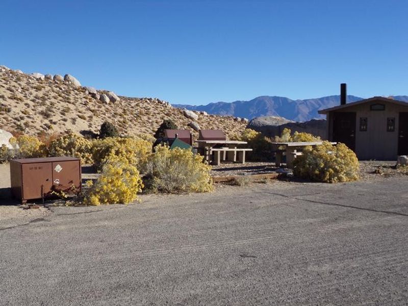
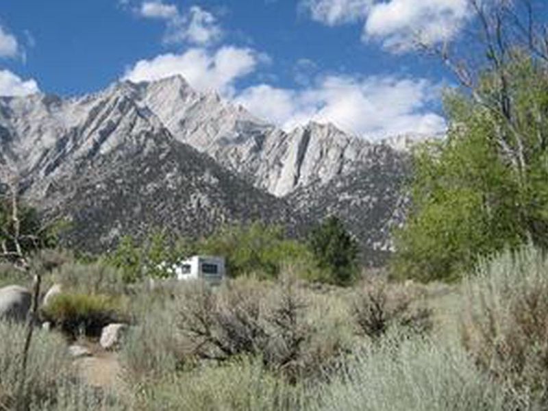
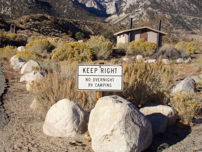
Lone Pine Campground is strategically located six miles west of the town of Lone Pine, California, serving as a premier staging area for those attempting Mt. Whitney, the highest peak in the contiguous United States. At 5,800 feet elevation, the campground offers clear views of the surrounding Sierra Nevada granite peaks while remaining accessible via paved Whitney Portal Road. The campground features 42 single sites, one double site, and one walk-in group site accommodating up to 15 guests. Sites can handle vehicles up to 40 feet in length. Amenities include vault toilets, potable water (seasonally), picnic tables, and fire rings. Bear-proof food lockers are provided at each site and their use is mandatory due to historically high bear activity in the area. The Whitney Portal National Recreation Trail begins at the west end of the campground, connecting to Whitney Portal and its picnic area and fishing pond. Anglers can also access Lone Pine Creek directly from the campground. The eastern Sierra is renowned for exceptional trout fishing. Firewood is available for purchase on-site.
Directions
From U.S. Highway 395 in California, travel to the town of Lone Pine. The campground is 6 miles west of Lone Pine on Whitney Portal Road.
Nearby Campgrounds
Location
Amenities
| Water | Yes |
| Fires Allowed | Yes |
| Toilets | Yes |
| Dump Station | No |
| Wifi | No |
| Pets Allowed | Yes |
| Showers | No |
| Electric Hookups | — |
| Water Hookups | — |
| Sewer Hookups | — |
| Camp Store | No |
| Price | $34 - $81 |
Vehicle
| Max RV Length | 40ft |
| Max Trailer Length | 40ft |
| Big Rig Friendly | Yes |
| Pull Through Sites | No |
Contact
| Phone | +1 (760) 876-6200 |
Cell Service
| AT&T | Yes |
| Verizon | Yes |
| T-Mobile | None |
Availability
Photos
Community Posts
No posts yet. Be the first to share your experience!