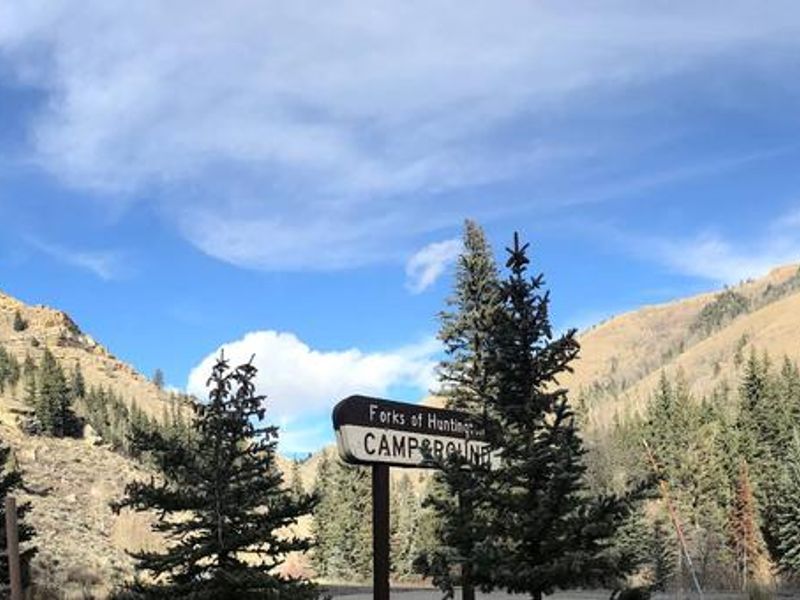
Forks Of Huntington
Open for the season through late September. Some sites are first-come, first-served while others are reservable via Recreation.gov with a 4-day advance booking requirement. No potable water available; campers must bring their own water and pack out all trash.
Hydrologic Outlook issued October 8 at 3:13PM MDT by NWS Salt Lake City UT
ESFSLC The remnants of Tropical Storm Rachel will merge with a fall-like storm system over the western United States, bringing moderate to heavy rainfall and a resulting threat of flooding. Widespread rainfall of 1 to 3 inches is expected, locally in excess of 3 inches, particularly across south aspects of southern Utah mountains, between late Saturday and Monday morning. Expect many area waterways including streams, rivers, normally dry washes, creeks, and slot canyons to have rising, fast flows by Sunday evening. Current forecasts do not bring any rivers to flood stage, but this will be monitored as the fine details of heavy rain bands become more confident. Those with activities near rivers, streams, creeks and recent burn scars should closely monitor the forecast over the next several days. Those with outdoor plans Sunday onward that include any travel near waterways across Utah should consider alternate plans. Scattered showers and thunderstorms will remain possible through at least Wednesday. While the rainfall rates with these additional rounds of precipitation will generally be lower, areas that receive significant precipitation during the weekend will be extra sensitive to any additional rainfall.
Weed Free Hay Order 04-2021-03
Prohibited by this order: Possessing, storing, or transporting non-pelletized hay, straw, or mulch in the Intermountain Region, unless it is certified as weed free by the state where the product originated.
Fireworks and Spark Arrestor Order 04-2021-01
Prohibited by this order: Possessing, discharging, or using any kind of firework or other pyrotechnic device. 36 CFR §261.52(t)Operating or using any internal or external combustion engine without a spark arresting device properly installed, maintained and in effective working order as described…
About
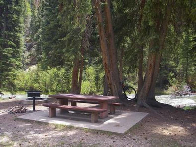
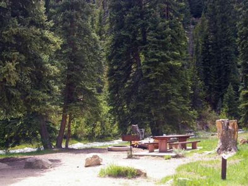
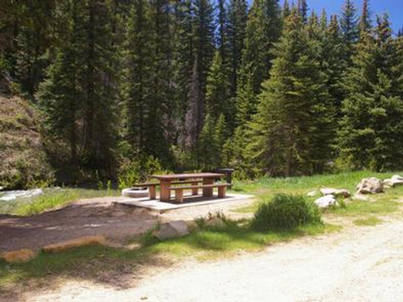
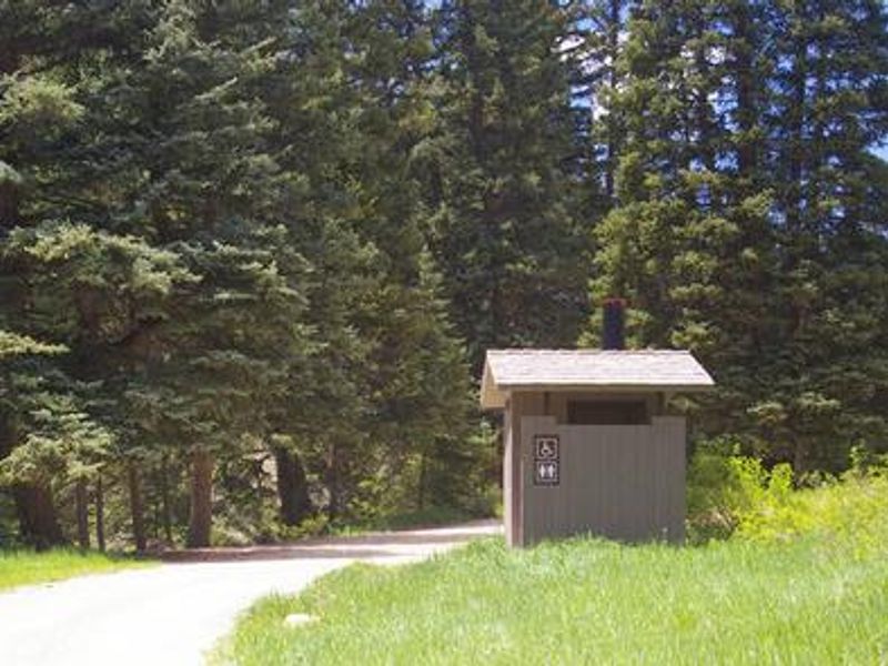
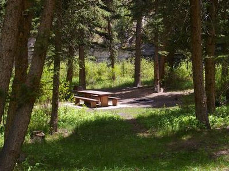
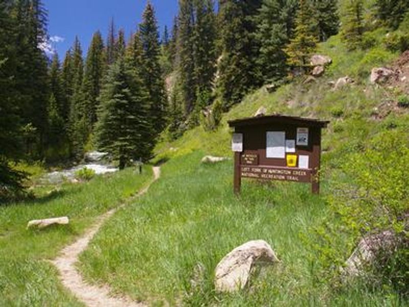
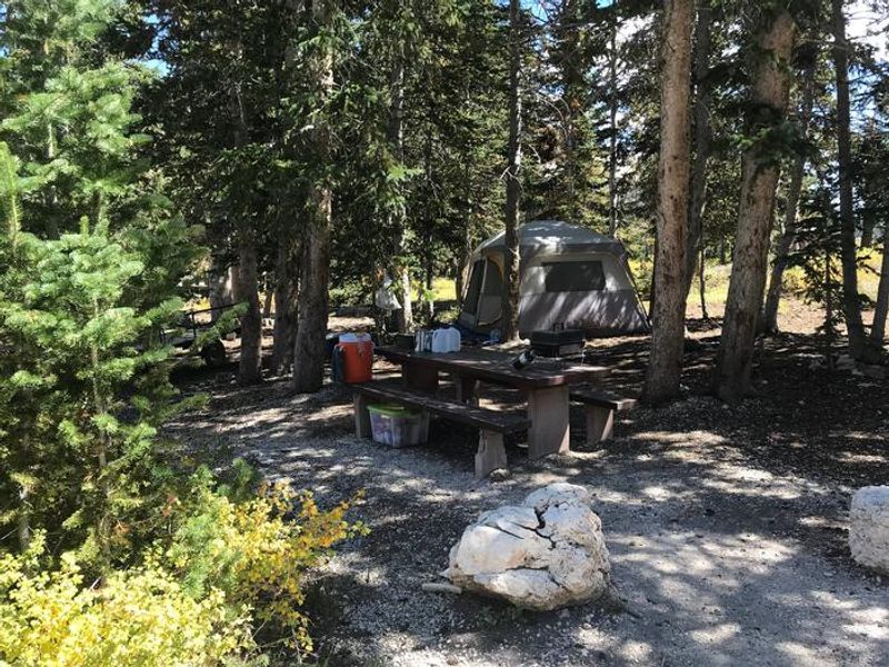
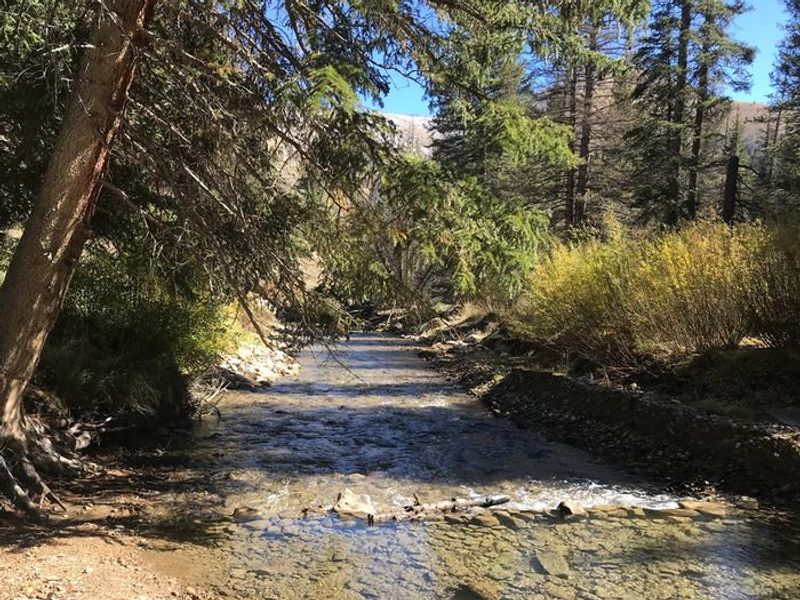
Forks of Huntington Campground is a small, primitive facility in the Manti-La Sal National Forest, located in beautiful Huntington Canyon at an elevation of 7,600 feet. The campground features thick stands of pine trees providing ample shade, with the Left Fork of Huntington Creek flowing through the grounds. The Left Fork is a Blue Ribbon fishery offering quality fishing for brown, cutthroat, and rainbow trout. The campground serves as a trailhead for the 6-mile Left Fork of Huntington National Recreation Trail, open to hikers and horseback riders. The nearby 10-mile Fish Creek National Recreation Trail accommodates hiking, biking, and horseback riding. The Huntington Canyon National Scenic Byway, part of the 86-mile Energy Loop, offers stunning mountain and lake views as it climbs to over 10,000 feet elevation. Facilities are limited to vault toilets and graveled roads with parking spurs. There is no potable water, and campers must pack out all trash. The historic Stuart Guard Station Visitor Center is nearby, featuring exhibits of 1930s ranger life and Civilian Conservation Corps projects.
Directions
The campground is 16 miles west of Huntington, Utah along Utah Highway 31 (Huntington Canyon National Scenic Byway).
Amenities
| Water | No |
| Fires Allowed | — |
| Toilets | Yes |
| Dump Station | No |
| Wifi | No |
| Pets Allowed | — |
| Showers | No |
| Electric Hookups | — |
| Water Hookups | — |
| Sewer Hookups | — |
| Camp Store | No |
| Price | $10 - $40 |
Vehicle
| Max RV Length | 30ft |
| Max Trailer Length | 30ft |
| Big Rig Friendly | — |
| Pull Through Sites | No |
Contact
| Phone | +1 (435) 384-2372 |
Cell Service
| AT&T | None |
| Verizon | None |
| T-Mobile | None |
Availability
Photos
Community Posts
No posts yet. Be the first to share your experience!